


Secondary sourceDocument2011-04-07
Westport Battlefield Map
American Battlefield Protection Program · 2011-04-07
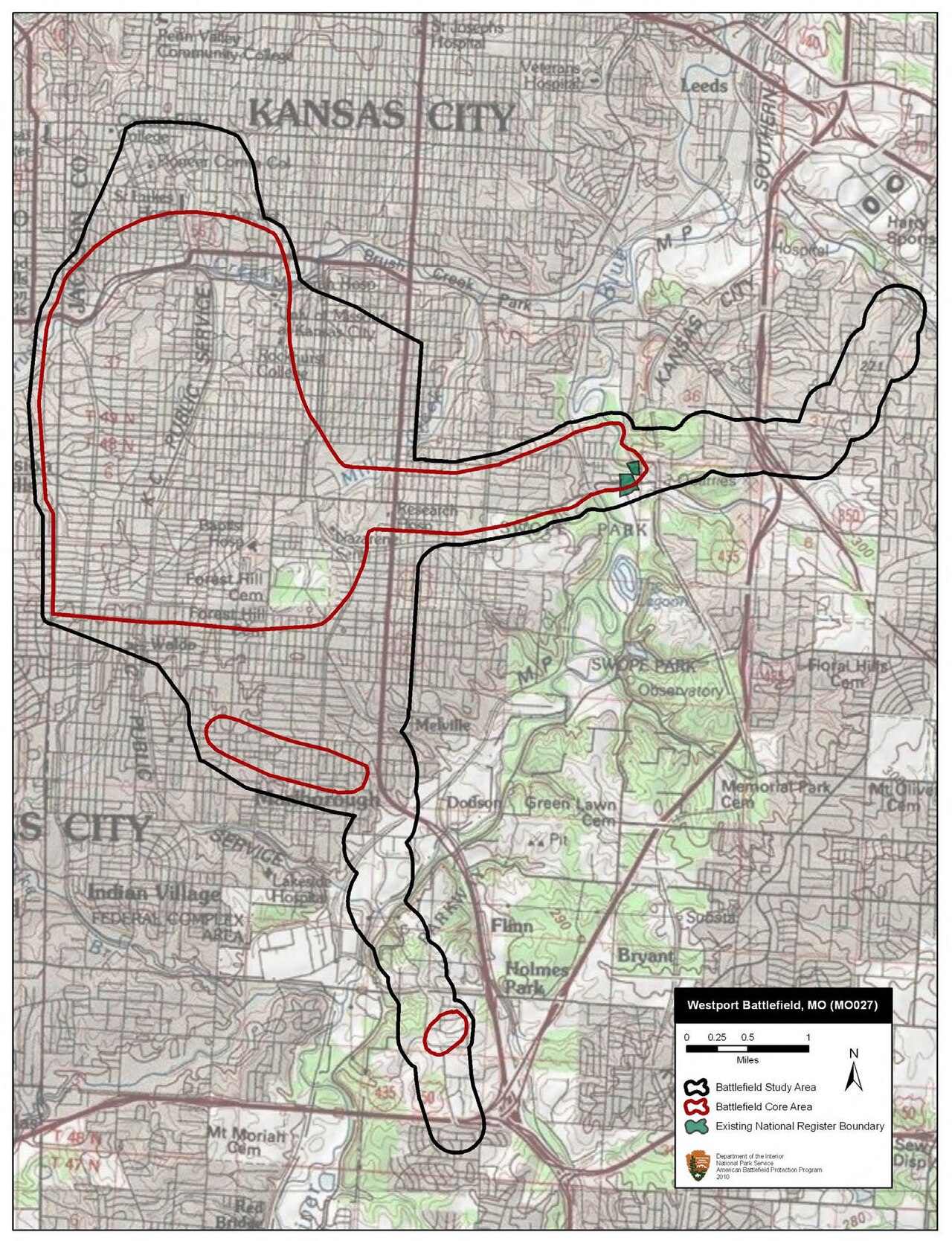
A modern map detailing the Westport battlefield where Sterling Price was defeated in 1864.
This map provides context to the battle where Price was defeated, illustrating the geographical elements of his military campaign.
About this source
What it is
This map, created in 2011 by the American Battlefield Protection Program, outlines the Westport battlefield, marking areas of military action during the Civil War. It includes details on troop movements and significant locations such as Byram's Ford.
Why it matters
The map is crucial for understanding the strategic elements of the Battle of Westport, where Sterling Price's forces were significantly defeated. It helps illustrate the geographical and tactical considerations of the battle, providing insight into the military leadership and decisions made during this pivotal conflict.
Look closer
- What does the map's detail suggest about the complexity of battlefield assessments?
- How might the terrain have influenced the battle's outcome?
- What does this map's modern creation suggest about ongoing interest in Civil War history?
This document is part of the curated material that grounds the AI version of Sterling Price on Humy.ai — when students ask about related events, the AI can quote it and cite it.
More Sterling Price sources
Meet the AI Sterling Price →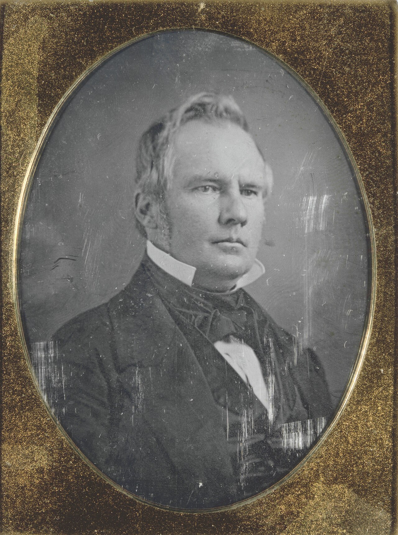 Photograph
Primary source
Sterling Price, Governor of Missouri
Thomas Martin Easterly · 1853-1857
 Photograph
Primary source
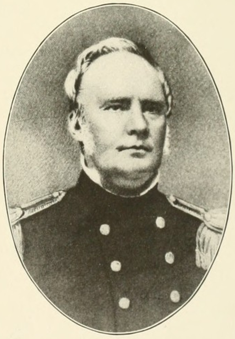
Sterling Price in U.S. Uniform
Unknown
 Photograph
Primary source
Portrait of General Sterling Price
Unknown
 Document
Primary source
Official Records of the Union and Confederate Armies
1881-1901 (compiled from wartime originals)
 Book
Primary source
Autobiography of Parley Parker Pratt
Parley P. Pratt · 1874
Ready when you are
Start chatting with Sterling Price now.
20 messages free · No credit card · Available in 50+ languages.