


Primary sourceDocument1791
1791 Map of District of Columbia Roads
Artemas Canfield Harmon · 1791
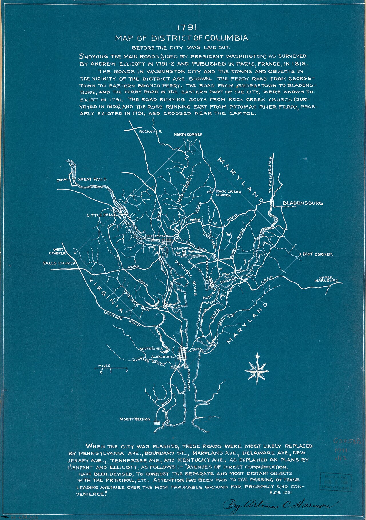
A blueprint map of roads, rivers and towns surveyed during the 1791-92 survey of the District of Columbia, work Banneker assisted.
Records the survey of the District of Columbia that Banneker assisted through astronomical observation.
About this source
What it is
This is a blueprint-style map dated 1791 showing the roads, rivers and towns of the new District of Columbia, including Georgetown, Alexandria, Bladensburg, Mount Vernon and Great Falls. It was drawn by Artemas C. Harmon, whose signature appears at the bottom, based on the survey led by Andrew Ellicott.
Why it matters
The survey mapped out the boundaries and roads of the future national capital. Benjamin Banneker, a free African American scientist and surveyor, assisted Ellicott's team with astronomical observations during this project, making this map part of the record of his practical scientific work.
Look closer
- What places and features can you identify on the map?
- Why would accurate roads and boundaries matter for a new capital city?
- What does this map leave out about the people who did the surveying work?
This document is part of the curated material that grounds the AI version of Benjamin Banneker on Humy.ai — when students ask about related events, the AI can quote it and cite it.
More Benjamin Banneker sources
Meet the AI Benjamin Banneker →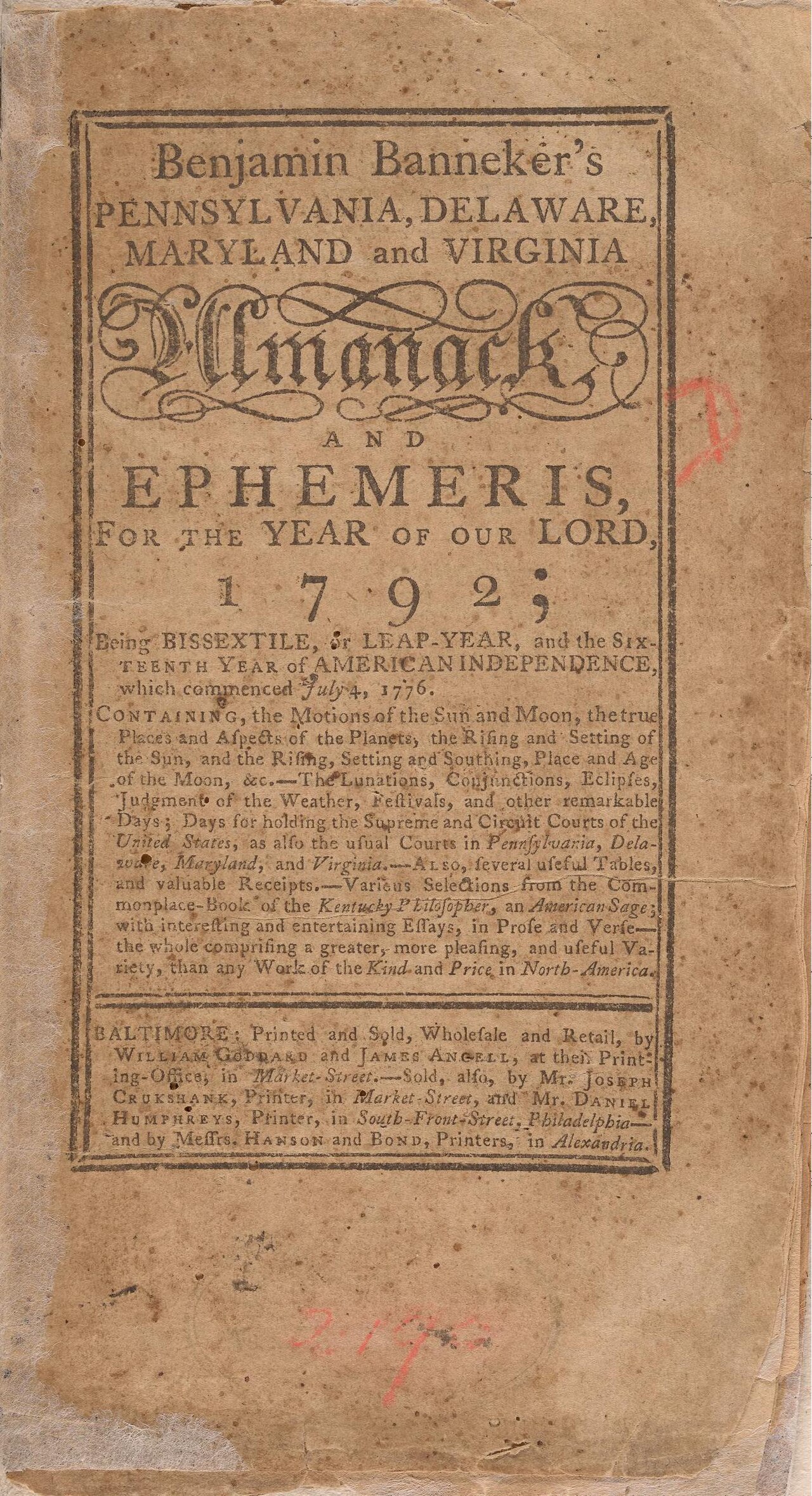 Book
Primary source
Benjamin Banneker's Pennsylvania, Delaware, Maryland and Virginia Almanack and Ephemeris for 1792
Benjamin Banneker · 1791
 Painting
Primary source
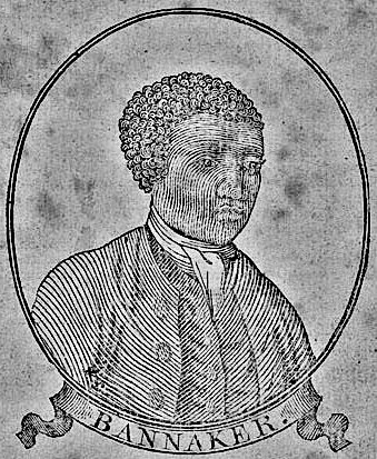
Benjamin Banneker woodcut, age 64
Unknown · 1795
Secondary source
De la littérature des Nègres
Henri Grégoire · 1808
 Artifact
Primary source
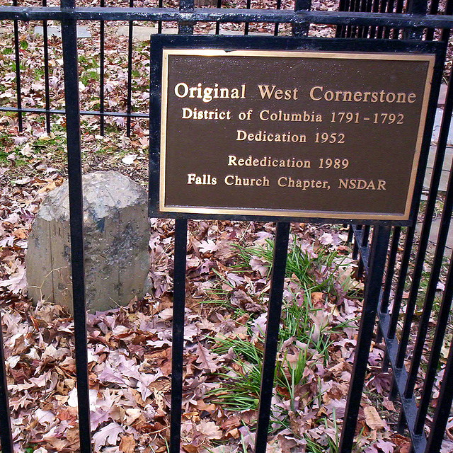
Boundary Stones of the original District of Columbia
Andrew Ellicott's survey team · 1791–1792
Primary source
The Talented Tenth
W. E. B. Du Bois · 1903
Ready when you are
Start chatting with Benjamin Banneker now.
20 messages free · No credit card · Available in 50+ languages.