


Primary sourceDocument
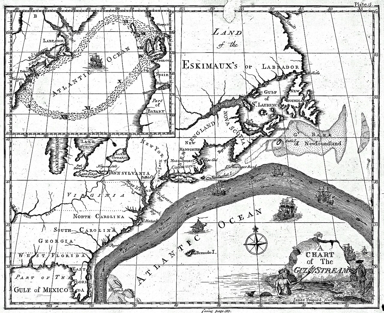
A Chart of the Gulf Stream
Benjamin Franklin and Timothy Folger
The earliest known map of the Gulf Stream, made by Franklin with Timothy Folger to help ships cross the Atlantic faster.
Franklin co-created this chart, showing his scientific approach to improving shipping and postal routes.
About this source
What it is
This is an 18th-century engraved chart titled 'A Chart of The Gulf Stream.' It shows the North American east coast, the Atlantic Ocean, the Gulf of Mexico, and the Gulf Stream itself as a wide current, with ships and a compass rose marking the sea.
Why it matters
Franklin made this chart with ship captain Timothy Folger while Franklin served as a postal official. It is considered the earliest known map of the Gulf Stream and shows Franklin using practical science to solve a real problem: speeding up mail and shipping across the Atlantic.
Look closer
- What details on the map suggest it was meant for sailors to actually use?
- Why would knowing about ocean currents matter for 18th-century trade and communication?
- What does this map reveal about Franklin's interest in science beyond politics?
This document is part of the curated material that grounds the AI version of Benjamin Franklin on Humy.ai — when students ask about related events, the AI can quote it and cite it.
More Benjamin Franklin sources
Meet the AI Benjamin Franklin →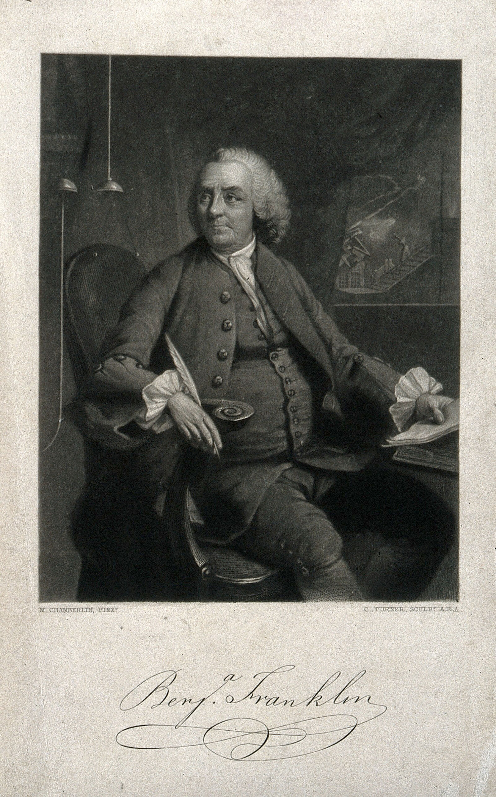 Painting
Primary source
Benjamin Franklin, mezzotint by C. Turner after M. Chamberlin
Mason Chamberlin · 1762
 Document
Primary source
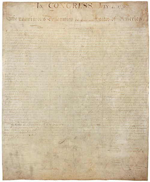
Declaration of Independence
Continental Congress (drafted by Thomas Jefferson) · 1776
 Artifact
Primary source
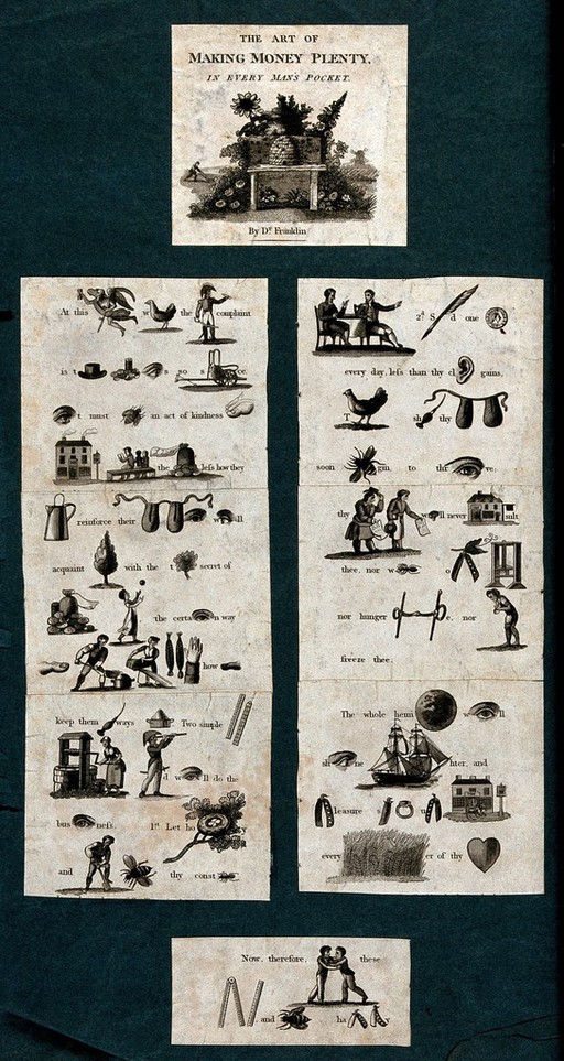
The Art of Making Money Plenty, In Every Man's Pocket
Benjamin Franklin
 Painting
Primary source
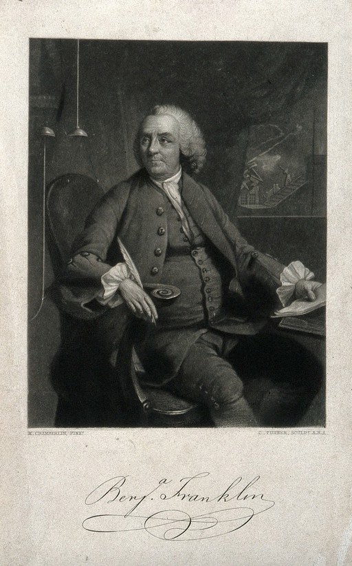
Benjamin Franklin, engraving after Mason Chamberlin
Mason Chamberlin · 1762
 Painting
Primary source
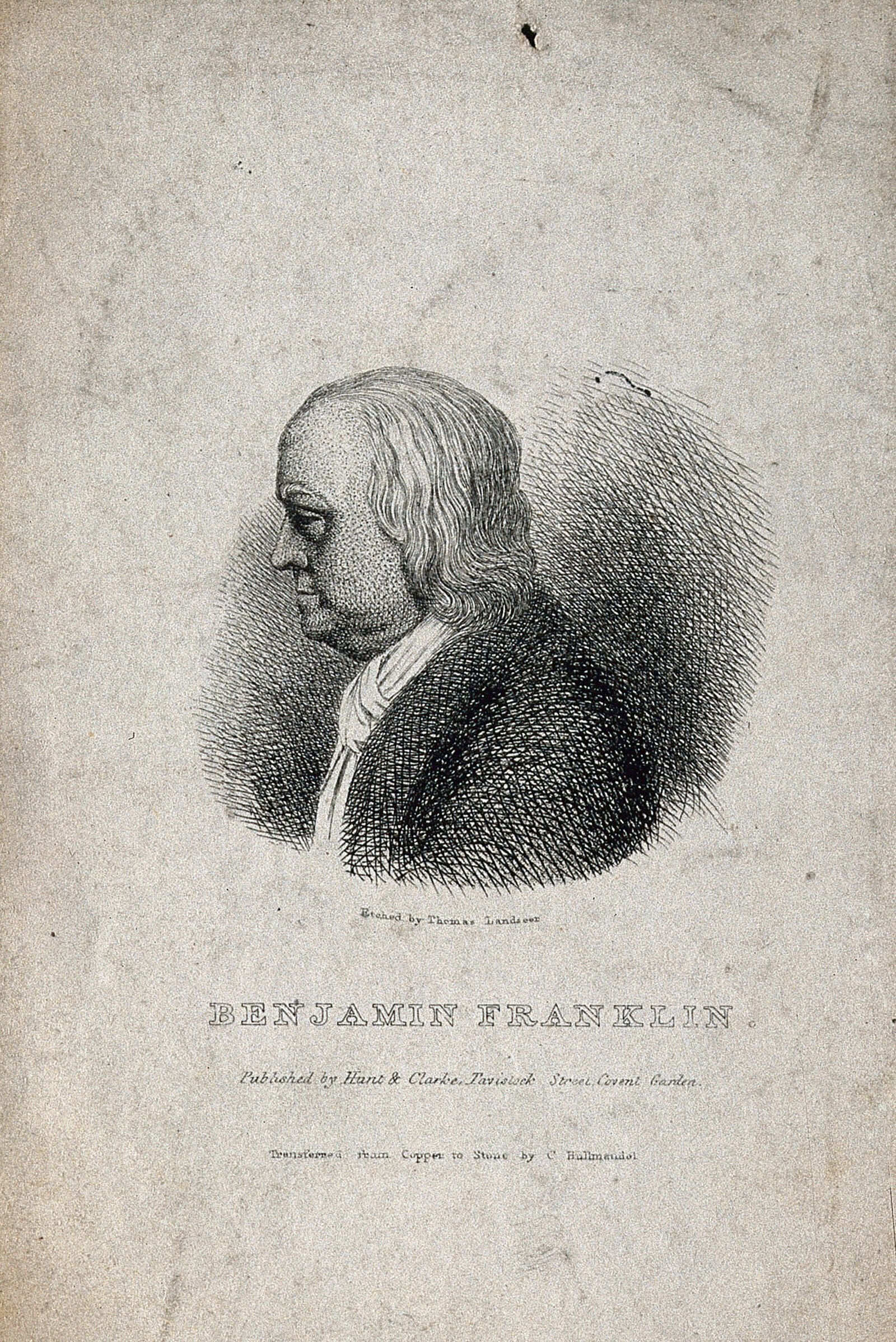
Benjamin Franklin, after J. J. Caffieri
Jean-Jacques Caffieri · 1777 (bust); print later
Ready when you are
Start chatting with Benjamin Franklin now.
20 messages free · No credit card · Available in 50+ languages.