


Primary sourceArtifact1810
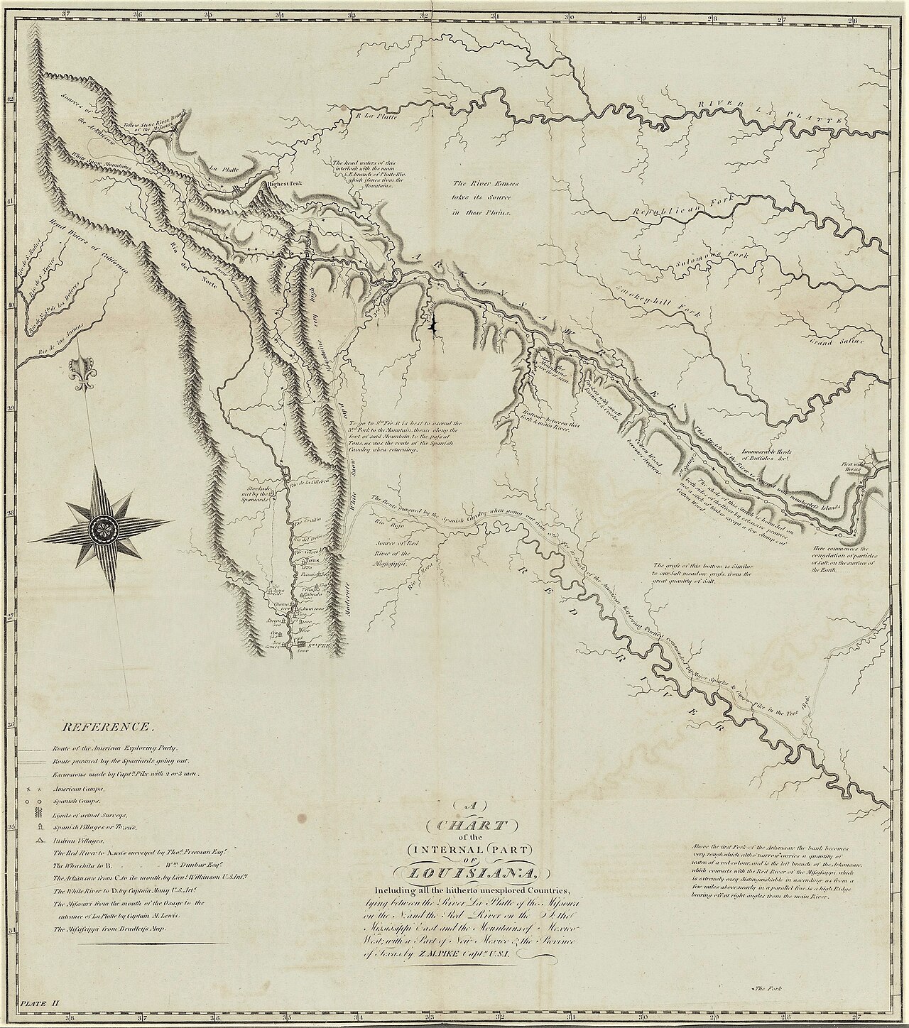
A Chart of the Internal Part of Louisiana
Zebulon Pike · 1810
Pike's map of the Arkansas, Platte and Rio Grande region, tracing his southwestern route and the peak later named for him.
Pike drew this map himself to record his southwestern route through Spanish borderlands.
About this source
What it is
This 1810 map, created by Zebulon Pike and printed by Anthony Nau (possibly with Nicholas King), shows the region around the Arkansas, Platte, and Red Rivers, including the mountain Pike's companion later named for him.
Why it matters
Pike and his men were among the first foreigners to travel through these Spanish borderlands. Though Pike had little scientific training and worked under difficult conditions, his map improved American geographic knowledge of the area, even as it contained real mistakes, such as confusing one river for another and spreading a false theory about where several major rivers began.
Look closer
- What clues on the map suggest it was made under difficult, uncertain conditions?
- Why might an explorer's own errors still be historically valuable?
- How does this map show both discovery and the limits of what one expedition could know?
This artifact is part of the curated material that grounds the AI version of Zebulon Pike on Humy.ai — when students ask about related events, the AI can quote it and cite it.
More Zebulon Pike sources
Meet the AI Zebulon Pike →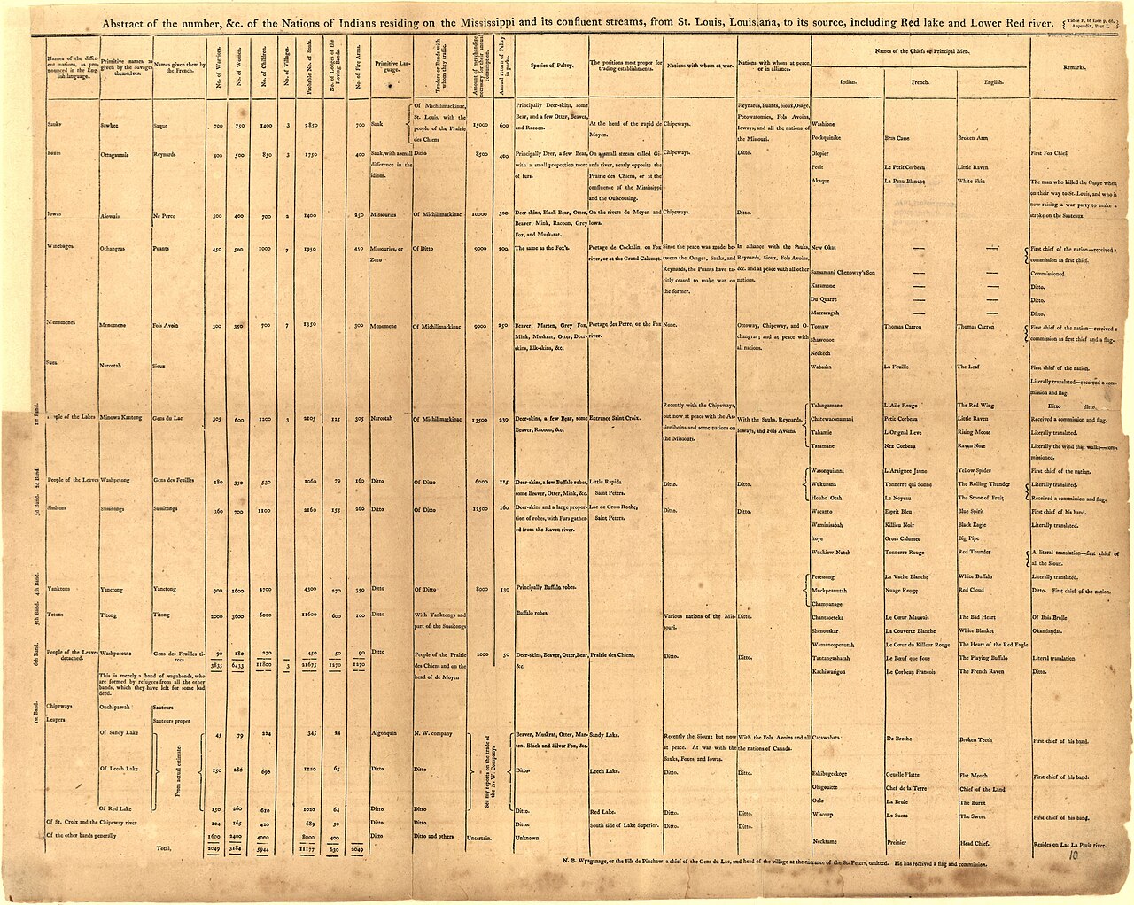 Book
Primary source
An Account of Expeditions to the Sources of the Mississippi, and through the Western Parts of Louisiana
Zebulon Montgomery Pike · 1810
 Artifact
Secondary source
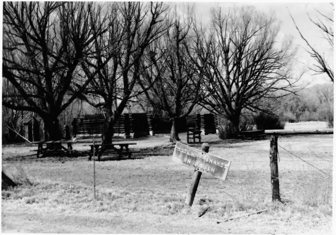
Pike's Stockade
Zebulon Pike's expedition · 1807 (reconstructed later)
 Painting
Primary source
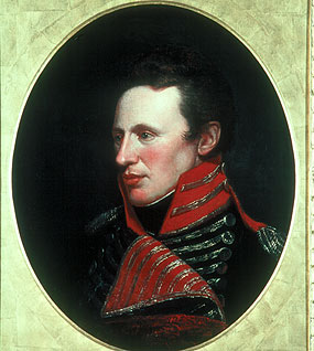
Portrait of Zebulon Pike
Charles Willson Peale
 Artifact
Secondary source
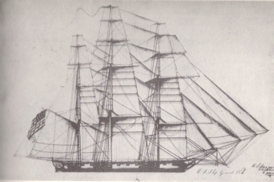
USS General Pike
Henry Eckford · 1813
 Artifact
Primary source
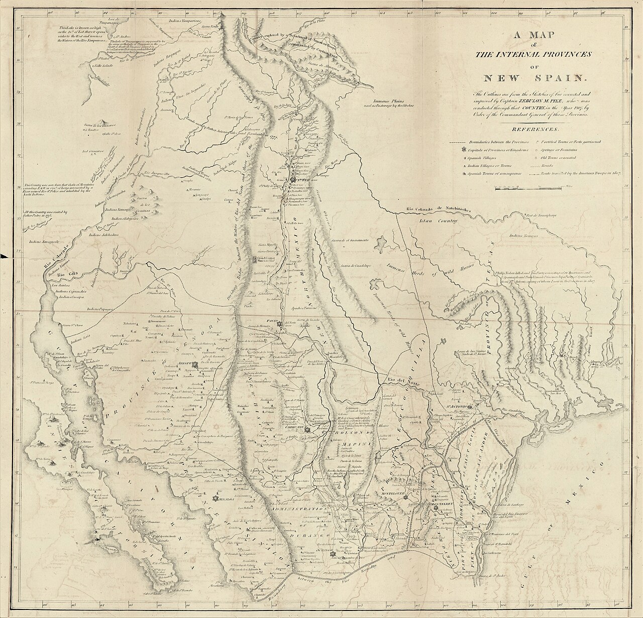
A Map of the Internal Provinces of New Spain
Zebulon Pike · 1810
Ready when you are
Start chatting with Zebulon Pike now.
20 messages free · No credit card · Available in 50+ languages.