


Primary sourceArtifact1810
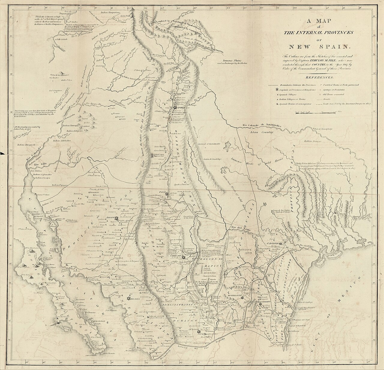
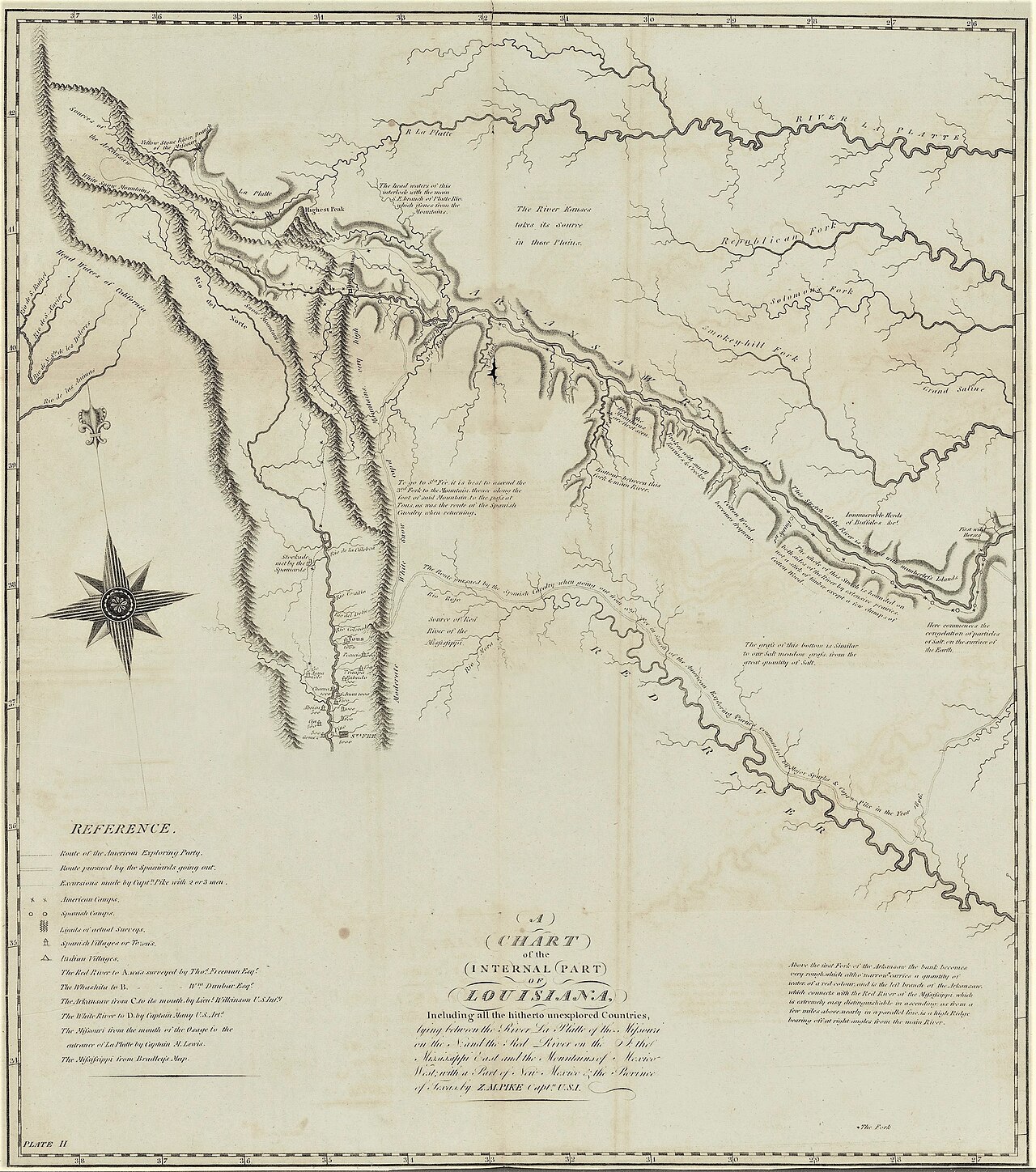
A Map of the Internal Provinces of New Spain
Zebulon Pike · 1810
A map by Pike depicting northern New Spain, drawn partly from what he observed while held captive by Spanish authorities.
Pike created this map using knowledge gathered during his captivity by Spanish authorities.
About this source
What it is
This engraved 1810 map by Zebulon Pike shows the internal provinces of New Spain, including the regions of Santa Fe, Chihuahua, and Texas. Pike drew on what he saw and learned while a captive of Spanish forces during his expedition.
Why it matters
The map gave Americans an early look at northern New Spain, a region largely unknown to them before Pike's journey. It reflects both the geographic knowledge gained through exploration and the political tensions between Spanish and American territory at the time.
Look closer
- Why might information gathered while a prisoner be both valuable and limited?
- What does this map suggest about American curiosity regarding Spanish territory?
- What details on the map hint at its sources and how it was made?
This artifact is part of the curated material that grounds the AI version of Zebulon Pike on Humy.ai — when students ask about related events, the AI can quote it and cite it.
More Zebulon Pike sources
Meet the AI Zebulon Pike →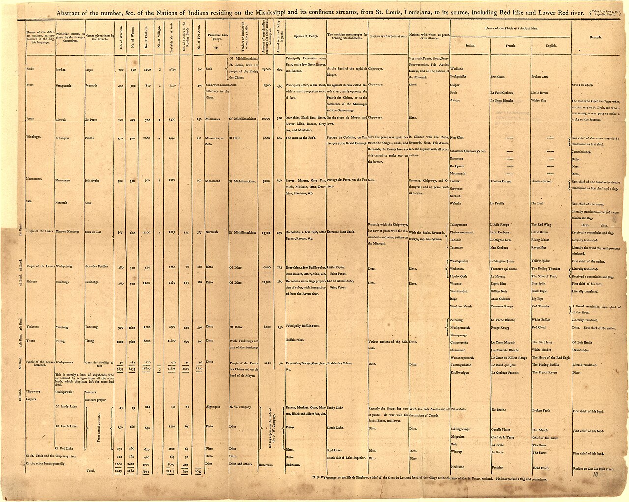 Book
Primary source
An Account of Expeditions to the Sources of the Mississippi, and through the Western Parts of Louisiana
Zebulon Montgomery Pike · 1810
 Artifact
Secondary source
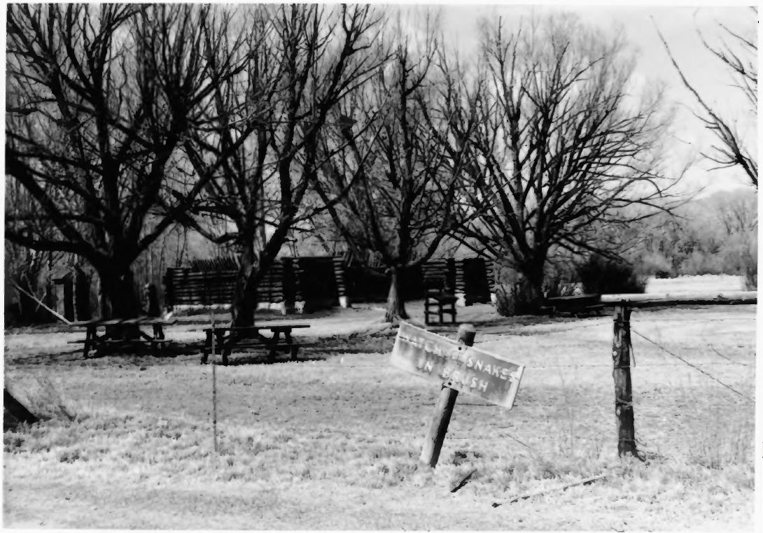
Pike's Stockade
Zebulon Pike's expedition · 1807 (reconstructed later)
 Painting
Primary source
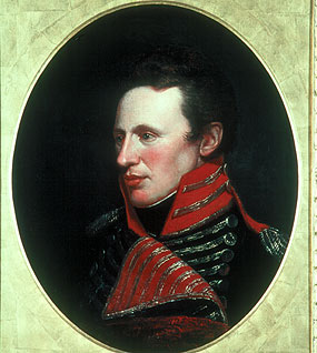
Portrait of Zebulon Pike
Charles Willson Peale
 Artifact
Primary source
A Chart of the Internal Part of Louisiana
Zebulon Pike · 1810
 Artifact
Secondary source
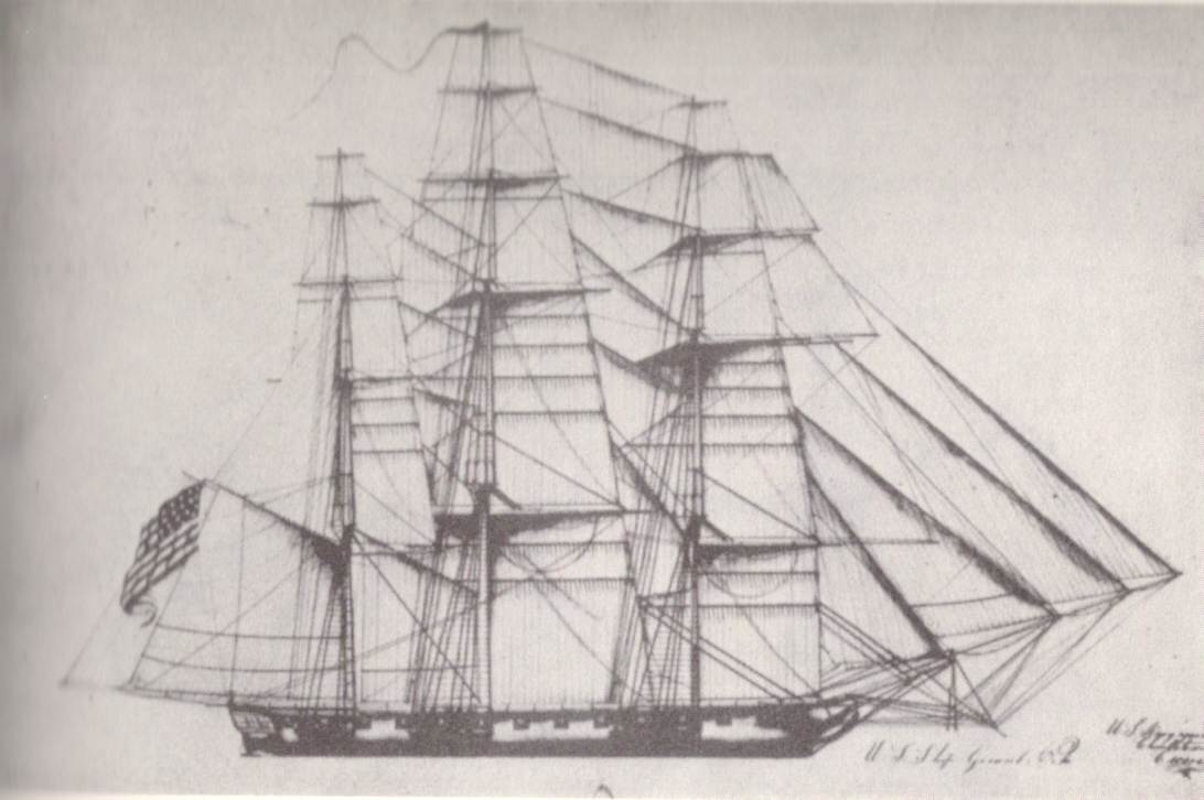
USS General Pike
Henry Eckford · 1813
Ready when you are
Start chatting with Zebulon Pike now.
20 messages free · No credit card · Available in 50+ languages.