


Primary sourceDocument1803
An Account of Louisiana
United States President (Thomas Jefferson) · 1803
An 1803 U.S. government compilation describing the Louisiana territory, the region Sacagawea later helped the Lewis and Clark expedition cross.
This government document describes the unexplored territory that Sacagawea would later help Lewis and Clark navigate.
 PDF · 50 pages
About this source
What it is
This is an official 1803 document compiled by direction of President Thomas Jefferson, using information from Dr. John Sibley and others. It describes the newly acquired Louisiana territory and was transmitted to Congress in November 1803.
Why it matters
This document shows what the U.S. government knew—and did not know—about the vast western lands before Lewis and Clark's expedition set out. It does not mention Sacagawea, but it reveals the uncertainty and gaps in knowledge that made guides and interpreters like her essential to the journey.
Look closer
- The text admits that no accurate general map of Louisiana existed. What does that tell you about the risks of the expedition?
- Who gathered this information, and whose knowledge is missing from it?
- Why would the government need someone like Sacagawea once the expedition began?
This document is part of the curated material that grounds the AI version of Sacajawea on Humy.ai — when students ask about related events, the AI can quote it and cite it.
More Sacajawea sources
Meet the AI Sacajawea →Primary source
Journals of the Lewis and Clark Expedition
Meriwether Lewis and William Clark · 1804–1806
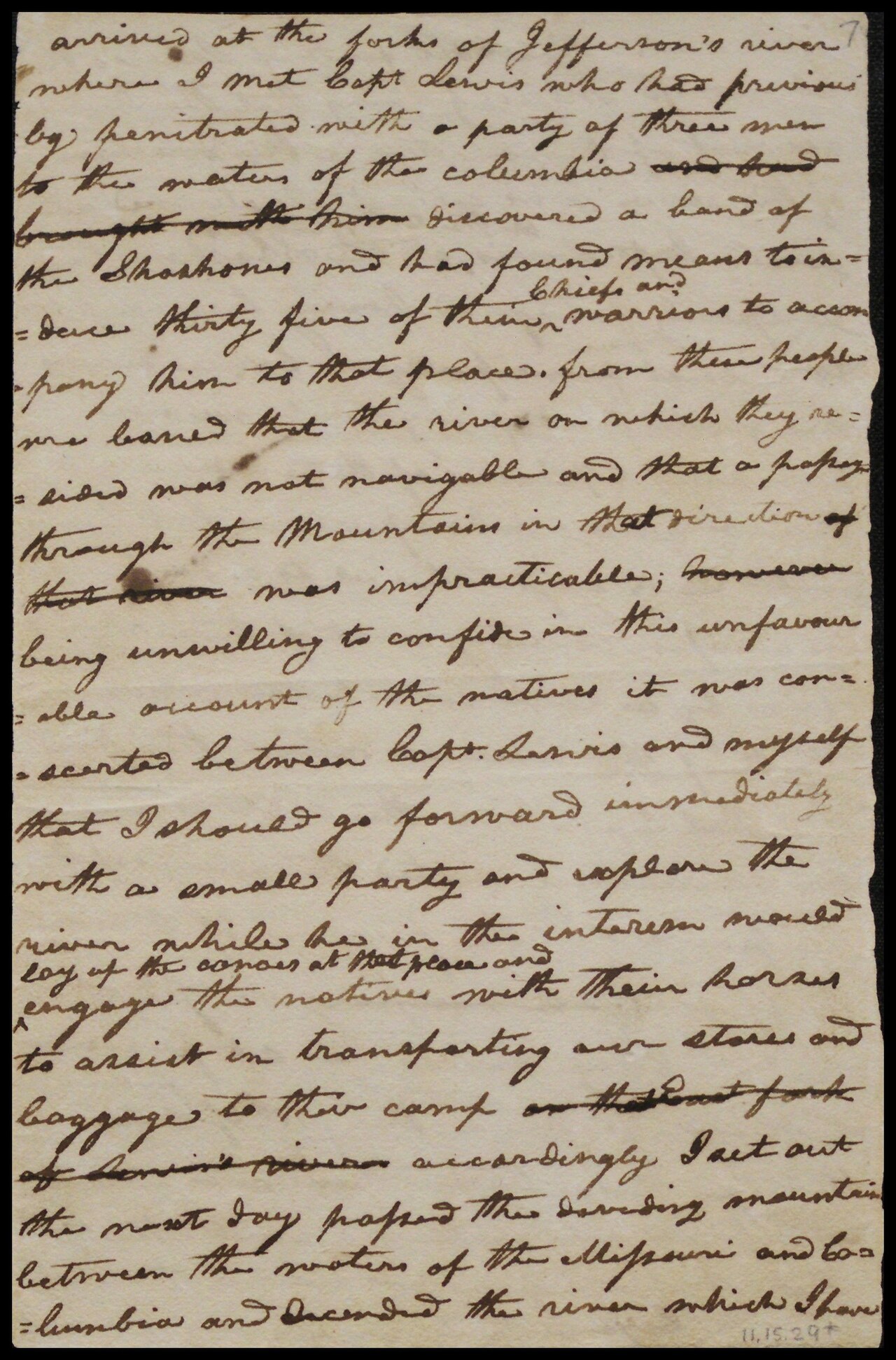 Letter
Primary source
William Clark's Letter to Toussaint Charbonneau
William Clark · 20 August 1806
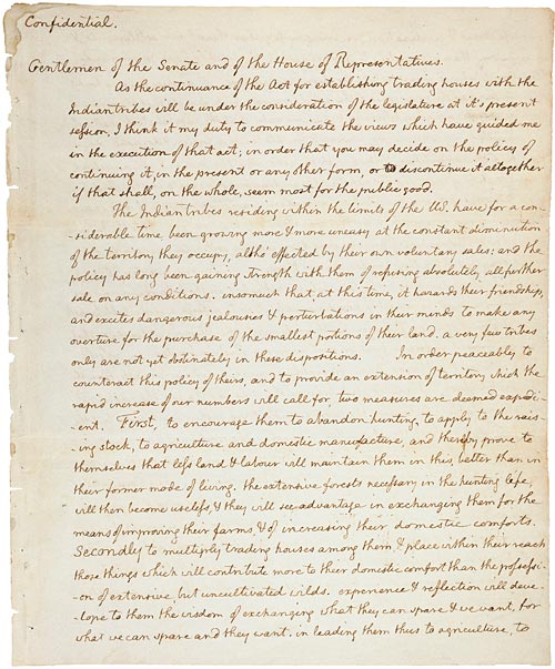 Document
Primary source
Jefferson's Secret Message to Congress Regarding the Lewis and Clark Expedition
Thomas Jefferson · 18 January 1803
Primary source
Louisiana Purchase Treaty
30 April 1803
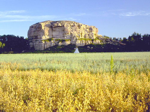 Artifact
Primary source
Pompeys Pillar National Monument
William Clark · carved 25 July 1806; designated monument 2001
Ready when you are
Start chatting with Sacajawea now.
20 messages free · No credit card · Available in 50+ languages.