


Primary sourceDocument1770
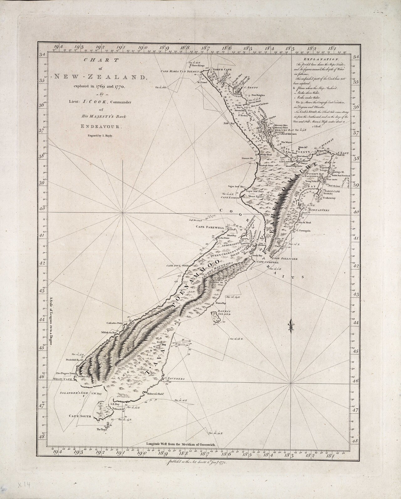
Chart of New Zealand, explored in 1769 and 1770
James Cook · 1770
Cook's engraved chart of New Zealand's coastline, drawn from his own survey during the first voyage.
Cook surveyed and drew this chart himself while circumnavigating New Zealand on his first voyage.
About this source
What it is
This engraved sea chart was made by James Cook in 1770, based on his survey while commanding HMS Endeavour. It shows the North and South Islands of New Zealand with coastal names, soundings, and the ship's track from October 1769 to April 1770. It is held by the British Library.
Why it matters
By sailing right around New Zealand, Cook proved it was not part of a larger southern continent, as some had believed. The chart's accuracy, built from careful coastal surveying, shows Cook's skill as a navigator and cartographer and became a key reference for later European contact with New Zealand.
Look closer
- What kinds of information did Cook choose to record on this chart, and what does that tell you about its purpose?
- How might this chart have been used by people after Cook, and by whom?
- What is missing from a chart like this — whose knowledge of the land is not included?
This document is part of the curated material that grounds the AI version of James Cook on Humy.ai — when students ask about related events, the AI can quote it and cite it.
More James Cook sources
Meet the AI James Cook →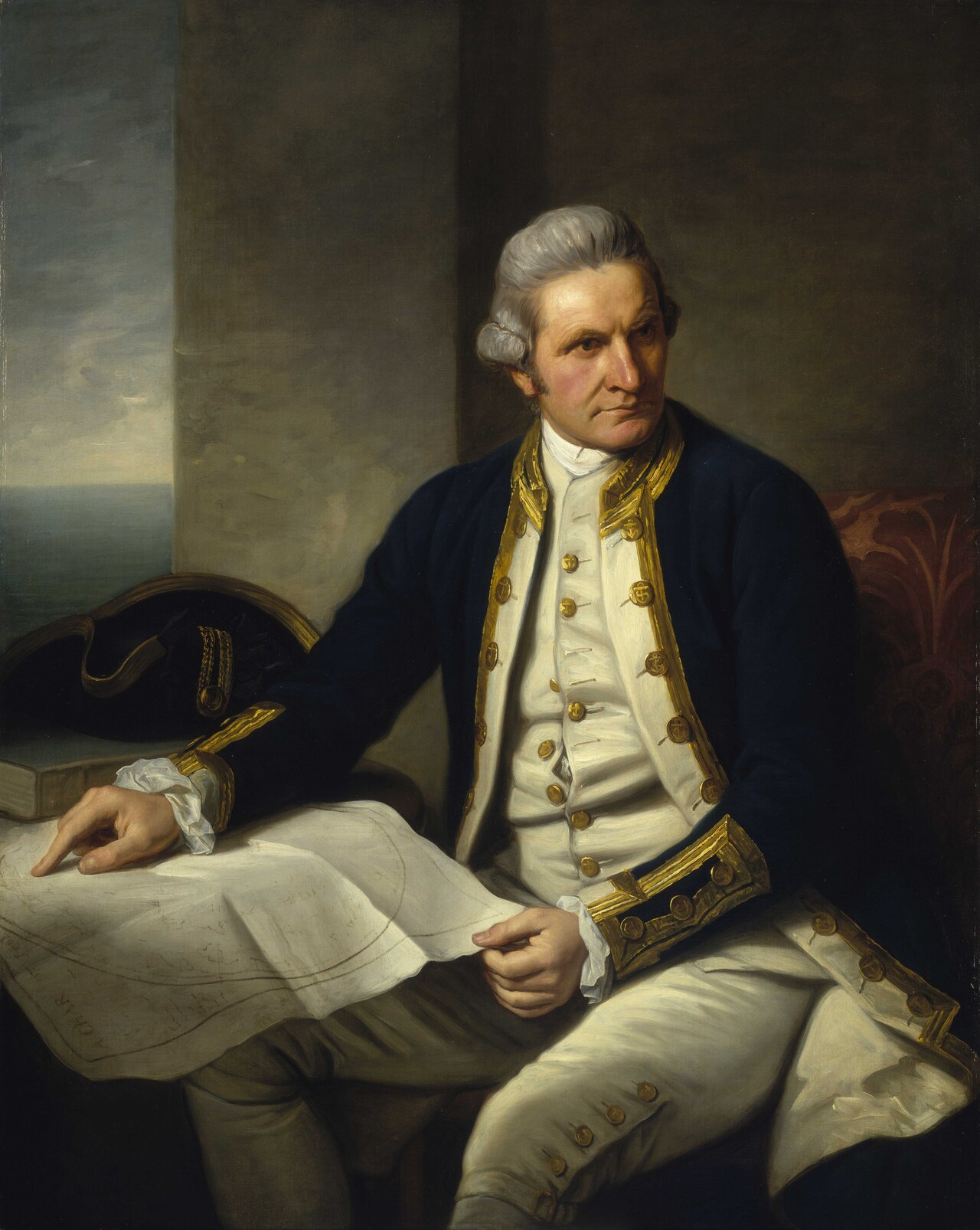 Painting
Primary source
Captain James Cook, 1728-79
Nathaniel Dance-Holland · c. 1775-1776
 Painting
Secondary source
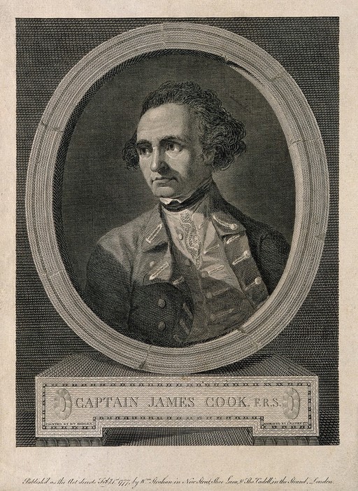
James Cook, line engraving by Basire after Hodges
William Hodges · 1777
 Document
Primary source
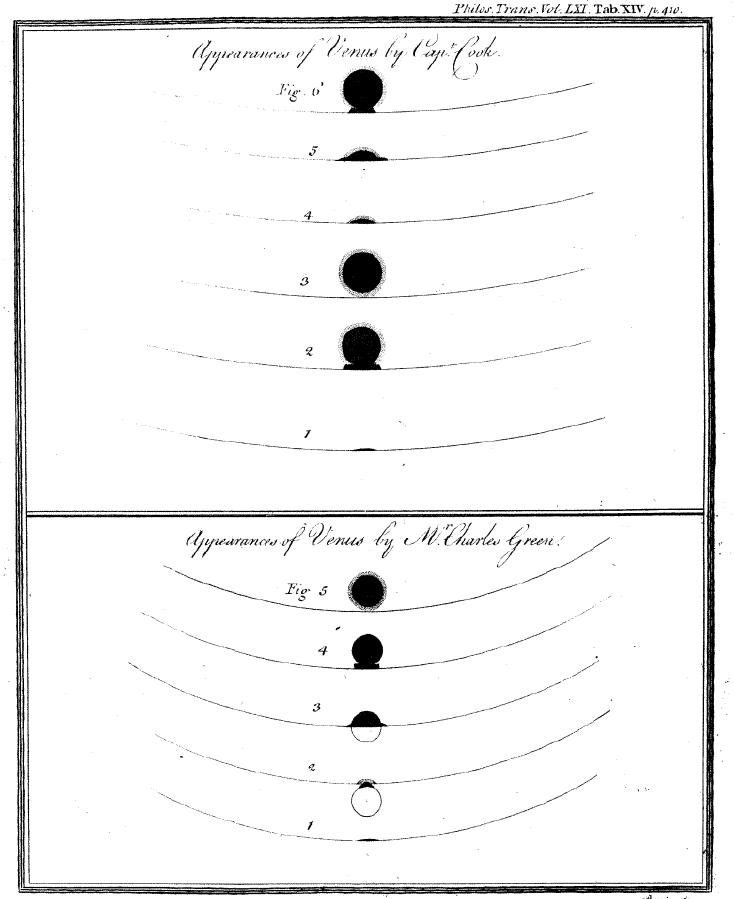
Sketchings of the 1769 Venus Transit
James Cook and Charles Green · 1769
 Painting
Primary source
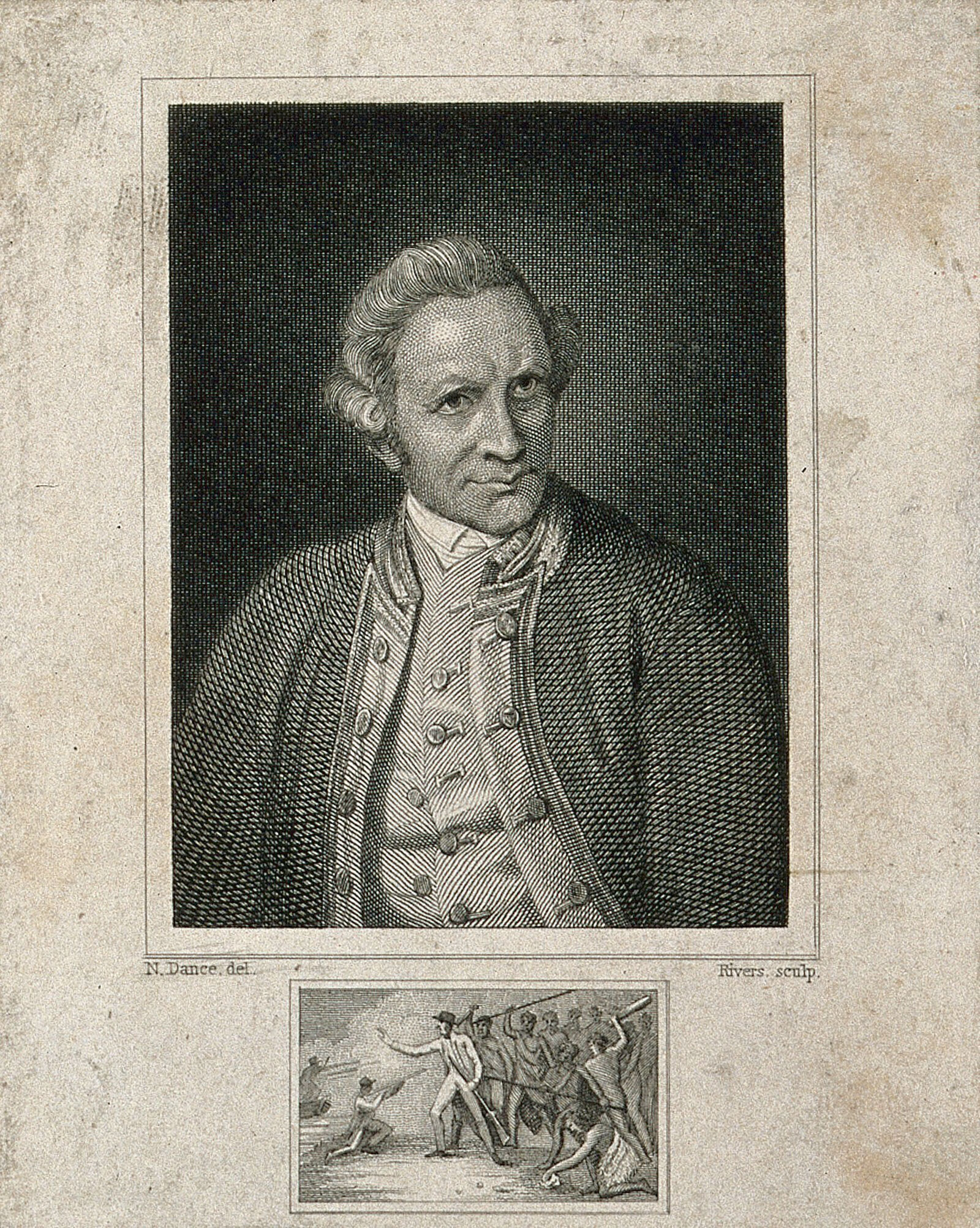
James Cook, engraving by Rivers after Dance-Holland
Nathaniel Dance-Holland · 1776
 Painting
Secondary source
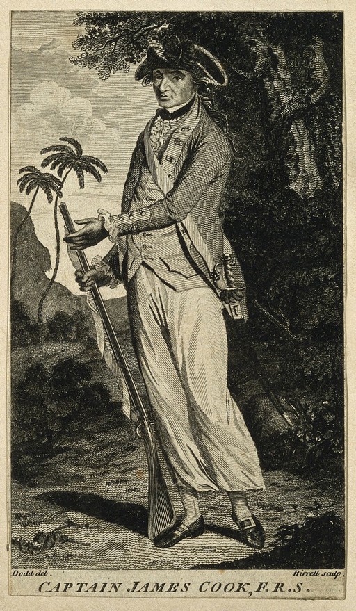
James Cook, line engraving by Birrell after Dodd
O. Birrell · 1785
Ready when you are
Start chatting with James Cook now.
20 messages free · No credit card · Available in 50+ languages.