


Primary sourceDocument1770
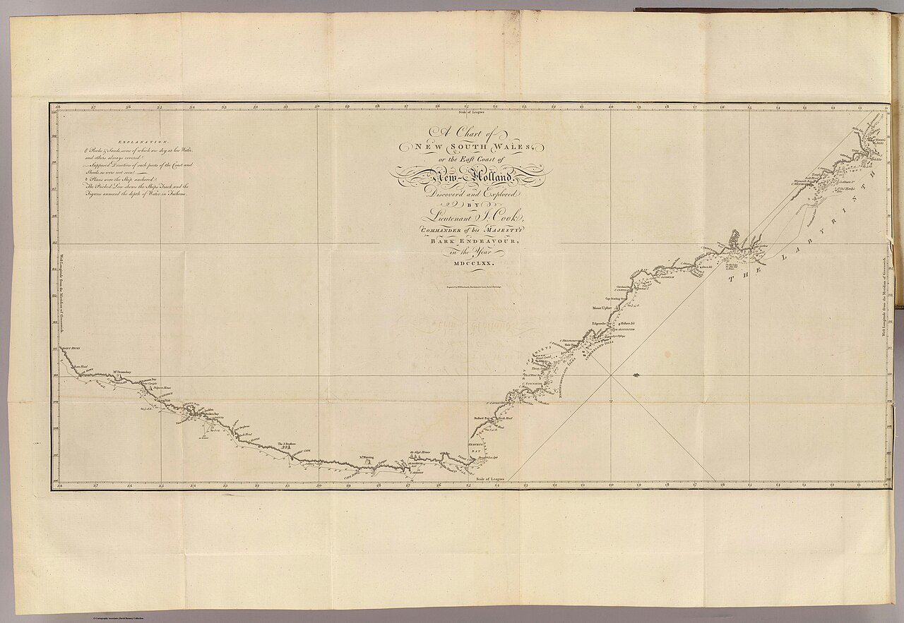
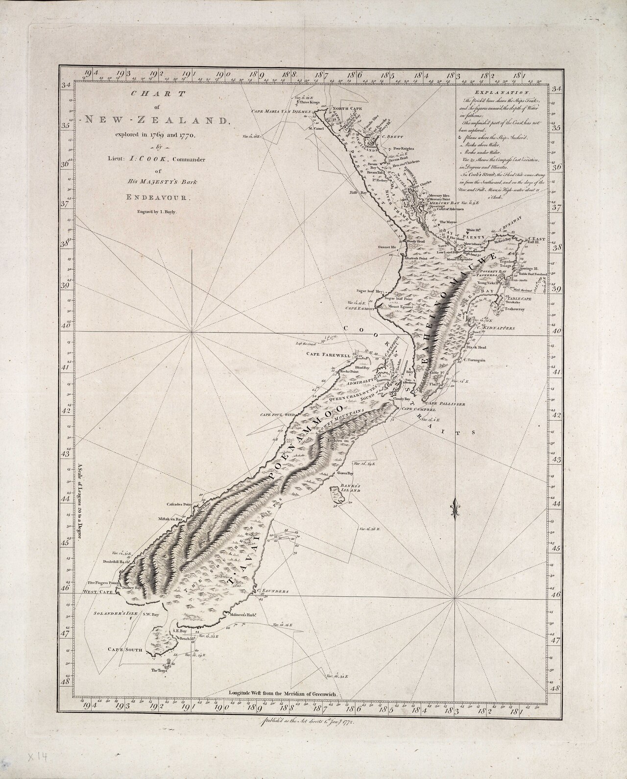
Chart of part of the east coast of New Holland
James Cook · 1770
Cook's 1770 chart of the east coast of Australia, surveyed during his first voyage aboard the Endeavour.
Cook surveyed and charted this stretch of Australian coastline himself in 1770 during his first voyage.
Free Humy account · No credit card · 121,771 sources to read
About this source
What it is
This engraved chart was made by James Cook in 1770, recording his survey of the east coast of Australia, then called New Holland, from Point Hicks to Cape York. It shows the coastline, place names, soundings, and a compass rose, and is held by the British Library.
Why it matters
This chart is the cartographic record of the coastline Cook surveyed and claimed for Britain during his first voyage on HMS Endeavour. It shaped how Europeans understood and later used this stretch of coast, and marks the beginning of British claims to the land.
Look closer
- What does the chart show, and what does it leave out, such as the people already living there?
- Why might accurate charts like this matter to a naval power like Britain?
- What questions would you ask about how this coastline was actually surveyed?
This document is part of the curated material that grounds the AI version of James Cook on Humy.ai — when students ask about related events, the AI can quote it and cite it.
More James Cook sources
Browse all 82 →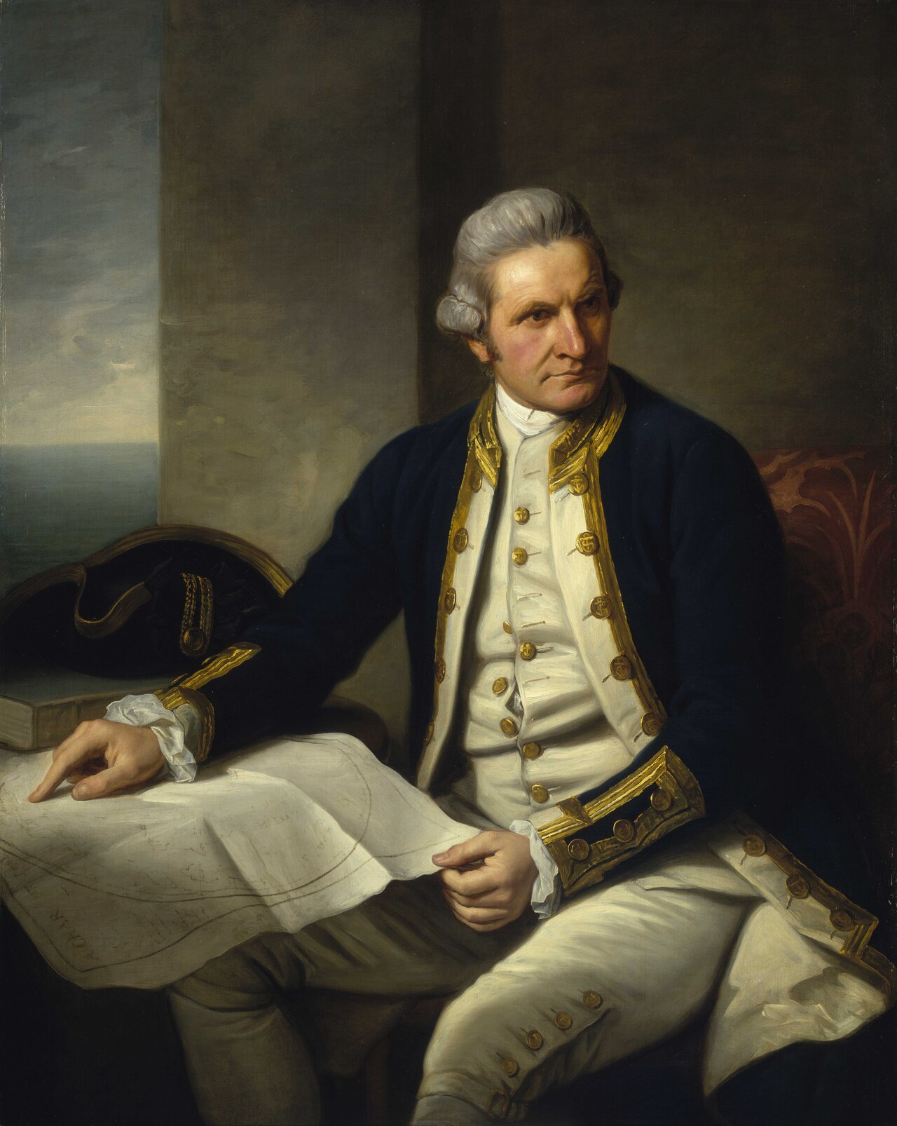 Painting
Primary source
Captain James Cook, 1728-79
Nathaniel Dance-Holland · c. 1775-1776
 Painting
Secondary source
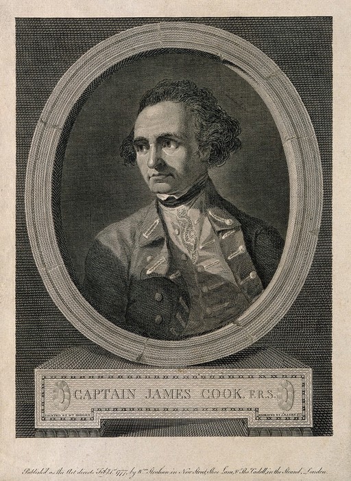
James Cook, line engraving by Basire after Hodges
William Hodges · 1777
 Document
Primary source
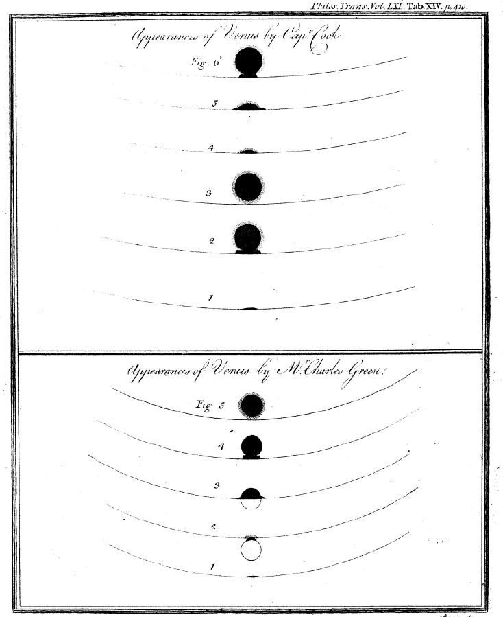
Sketchings of the 1769 Venus Transit
James Cook and Charles Green · 1769
 Painting
Primary source
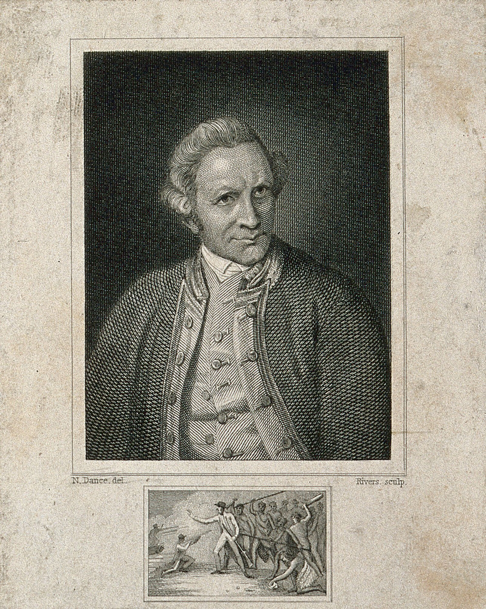
James Cook, engraving by Rivers after Dance-Holland
Nathaniel Dance-Holland · 1776
Free account
Read every James Cook source
Sign up free →
Ready when you are
Start chatting with James Cook now.
20 messages free · No credit card · Available in 50+ languages.