


Primary sourceDocument1776
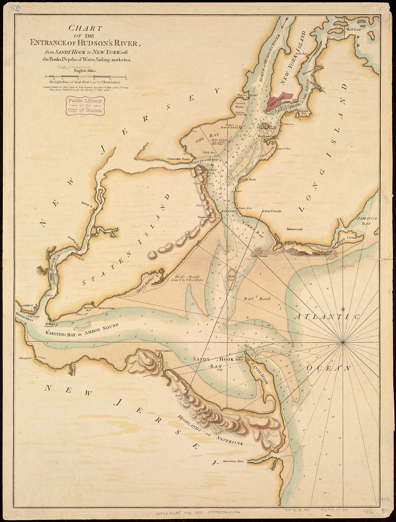
Chart of the Entrance of Hudson's River
Robert Sayer and John Bennett · 1776
An 18th-century nautical chart of the river Hudson explored in 1609, showing the waterway that bears his name but not Hudson himself.
Maps the river Hudson explored and that later took his name, showing its lasting importance.
About this source
What it is
This is a hand-colored nautical chart made in 1776 by Robert Sayer and John Bennett, published in The North-American Pilot. It shows the entrance of Hudson's River from Sandy Hook to New York, including depths, banks, and sailing marks.
Why it matters
The river shown here was explored by Henry Hudson in 1609 and later named after him. This chart, made more than a century after his voyage, shows how the waterway he mapped became vital for navigation and trade in colonial America, used by sailors and merchants long after Hudson's time.
Look closer
- What practical information does this chart give to sailors, and why would that matter in the 1770s?
- How might this chart differ from any map Hudson himself could have made in 1609?
- What does the chart's level of detail tell us about how important this river had become?
This document is part of the curated material that grounds the AI version of Henry Hudson on Humy.ai — when students ask about related events, the AI can quote it and cite it.
More Henry Hudson sources
Meet the AI Henry Hudson → Diary entry
Primary source
Robert Juet's Journal of the Third Voyage of Henry Hudson
Robert Juet · 1609 (printed 1625)
 Document
Secondary source
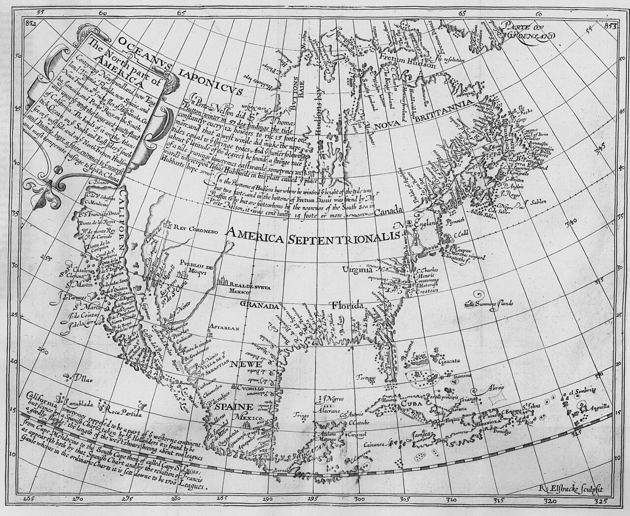
The North Part of America
Henry Briggs · 1625
Secondary source
Hakluytus Posthumus, or Purchas His Pilgrimes
Samuel Purchas · 1625
 Sculpture
Secondary source
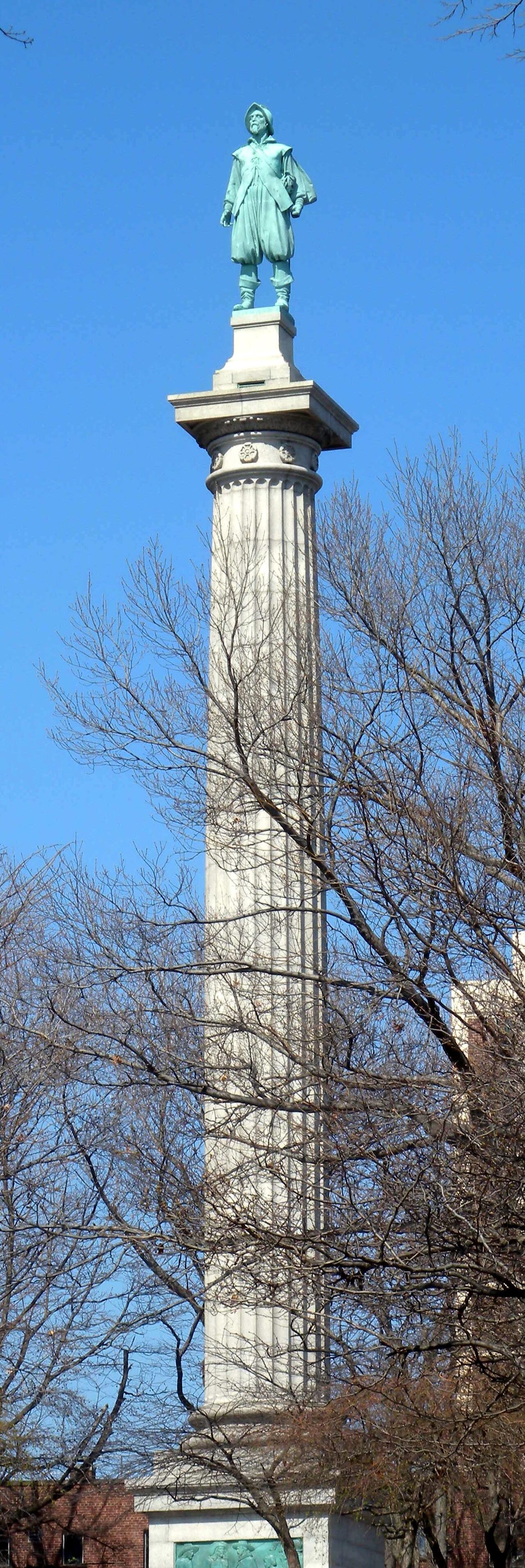
Henry Hudson Memorial (Henry Hudson Park monument)
Karl Gruppe (statue, from a model by Karl Bitter); Walter Cook (column design) · 1938
 Painting
Secondary source
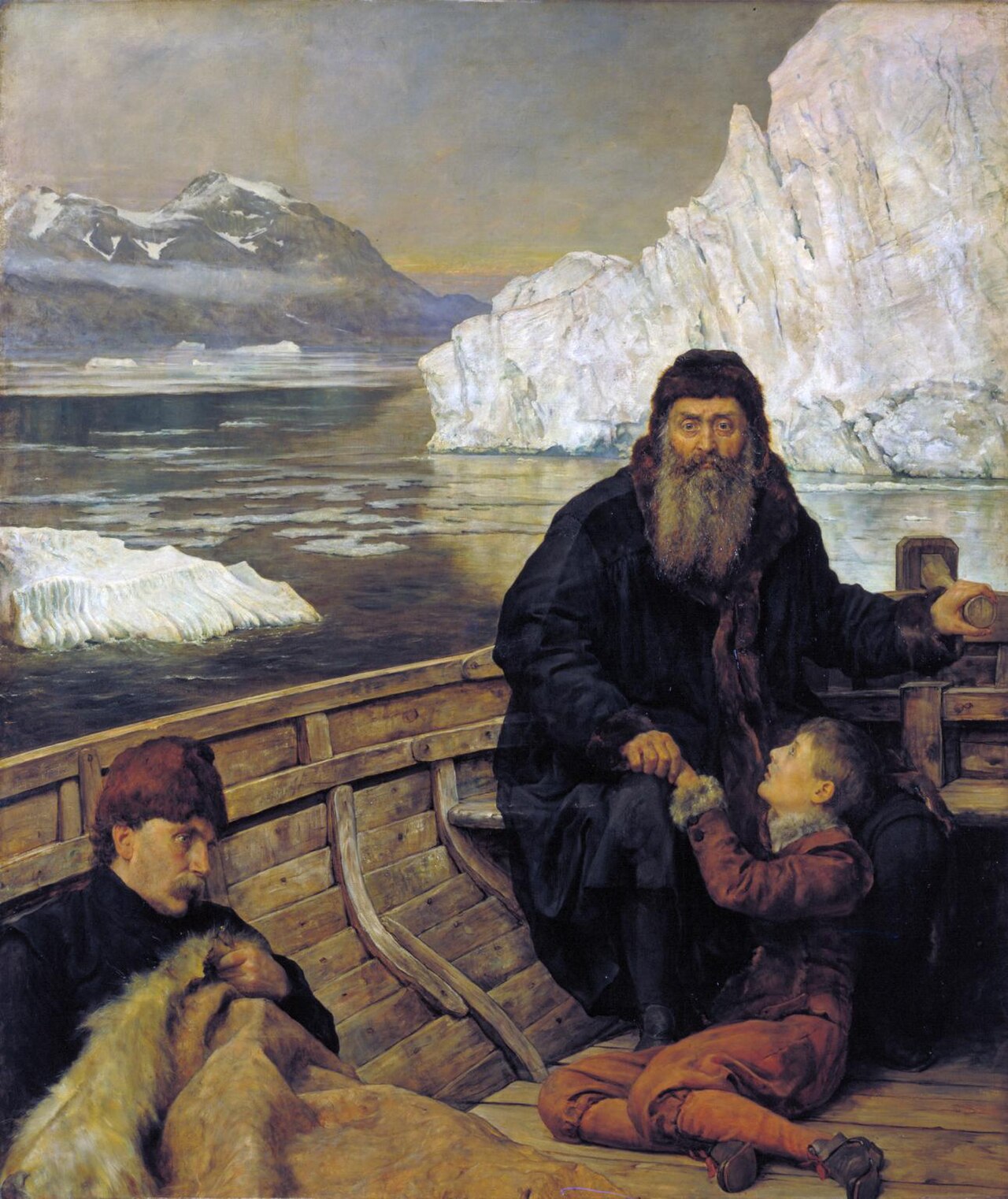
Last Voyage Of Henry Hudson
John Collier · 1881
Ready when you are
Start chatting with Henry Hudson now.
20 messages free · No credit card · Available in 50+ languages.