


Primary sourceDocument1768-1771
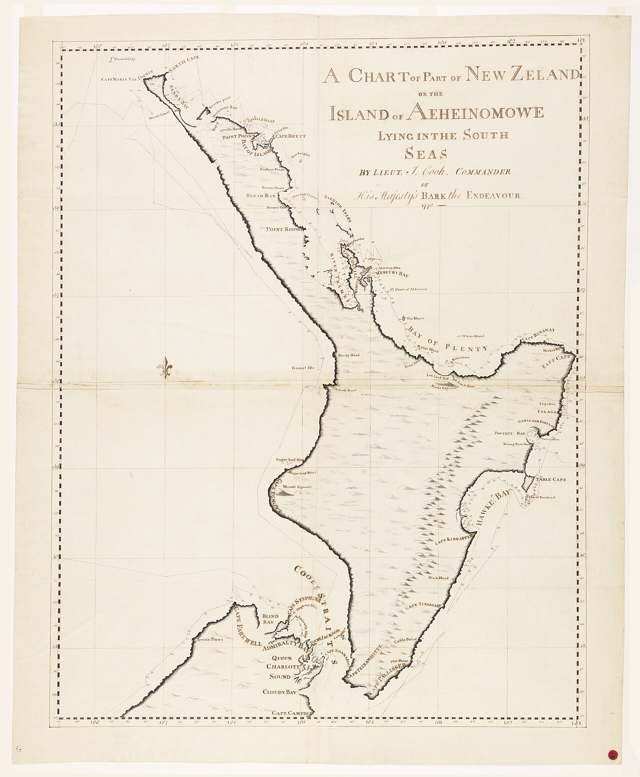
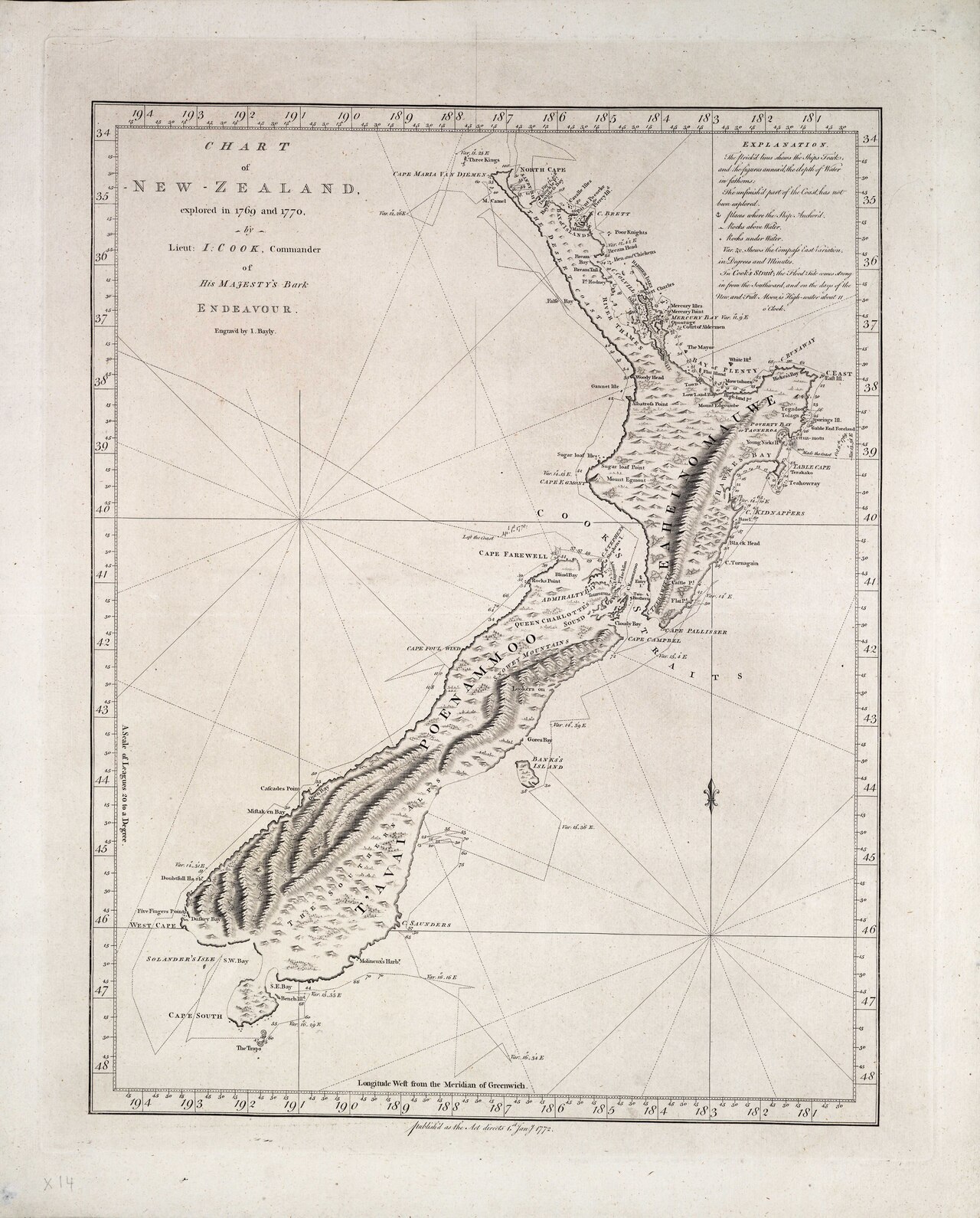
Chart of the North Island of New Zealand
James Cook · 1768-1771
A manuscript survey map hand-drawn by Cook during his first voyage, charting New Zealand's North Island.
Cook personally drew this chart while surveying New Zealand's North Island during his first voyage.
About this source
What it is
This is a manuscript chart drawn in ink and pencil by Lieutenant James Cook between 1768 and 1771, during his first voyage on HMS Endeavour. It shows the coastline of the North Island of New Zealand, which Cook called 'Aeheinomowe'. The original is held by the State Library of New South Wales.
Why it matters
This chart is direct evidence of Cook's skill as a surveyor and cartographer. Drawn by his own hand while sailing unfamiliar waters, it shows how he mapped lands previously unknown to Europeans, work that shaped later European knowledge of the Pacific.
Look closer
- What details, such as bays and place names, can you find on the chart?
- Why would accurate charts like this matter to future sailors?
- What is missing from a chart like this — such as the people already living there?
This document is part of the curated material that grounds the AI version of James Cook on Humy.ai — when students ask about related events, the AI can quote it and cite it.
More James Cook sources
Browse all 84 →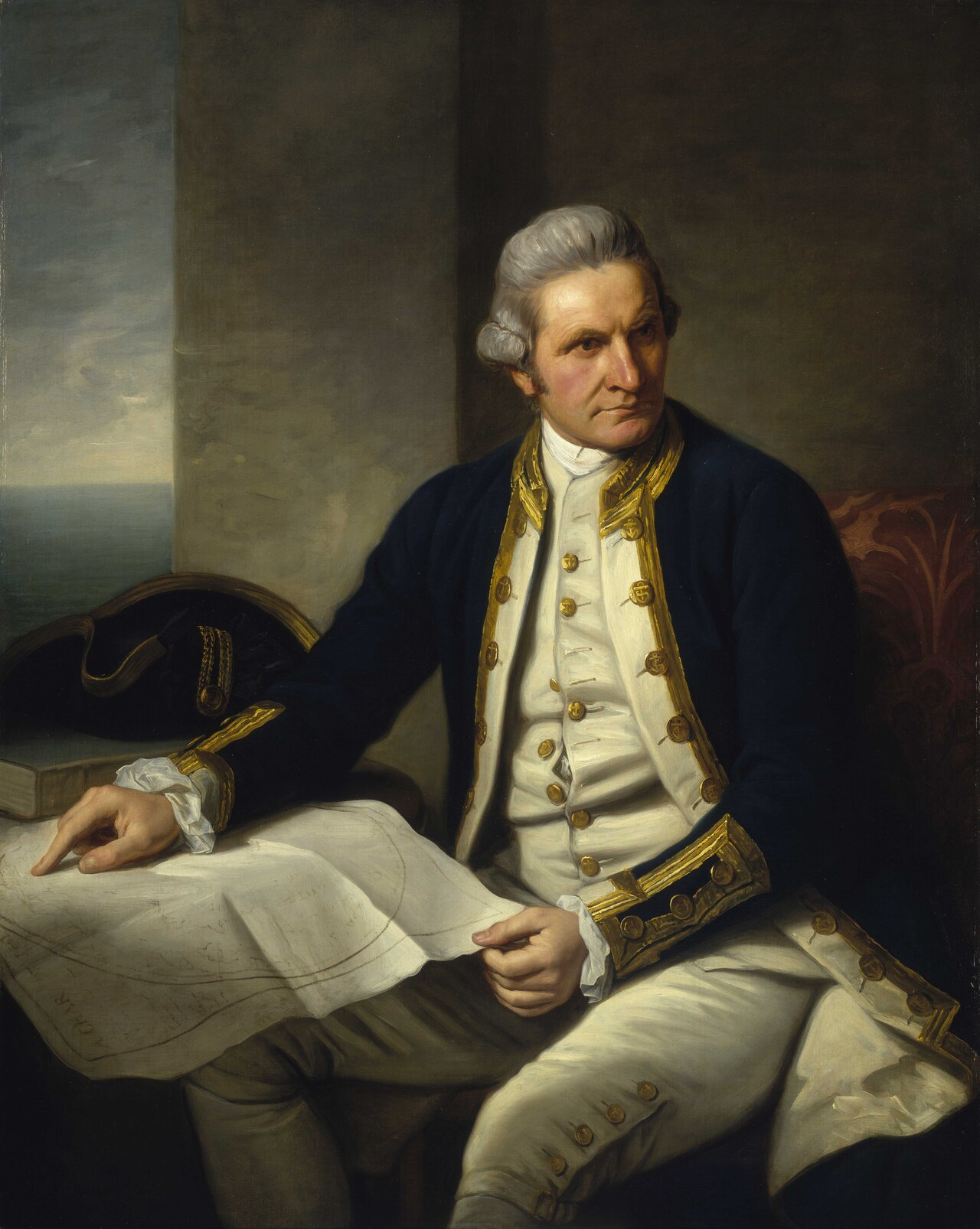 Painting
Primary source
Captain James Cook, 1728-79
Nathaniel Dance-Holland · c. 1775-1776
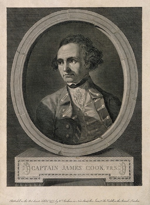 Painting
Secondary source
James Cook, line engraving by Basire after Hodges
William Hodges · 1777
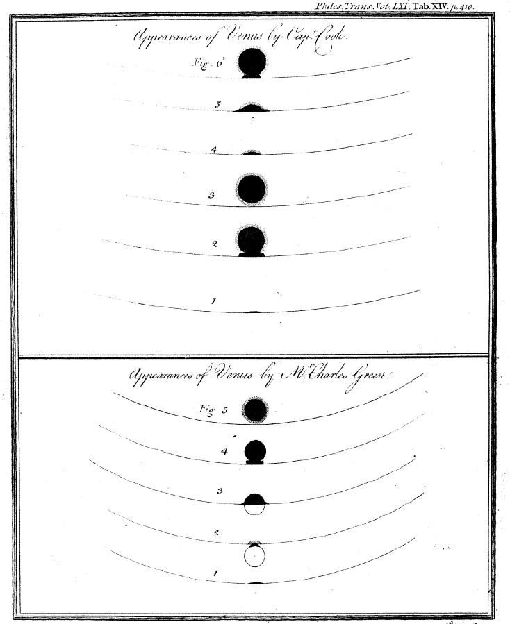 Document
Primary source
Sketchings of the 1769 Venus Transit
James Cook and Charles Green · 1769
 Painting
Primary source
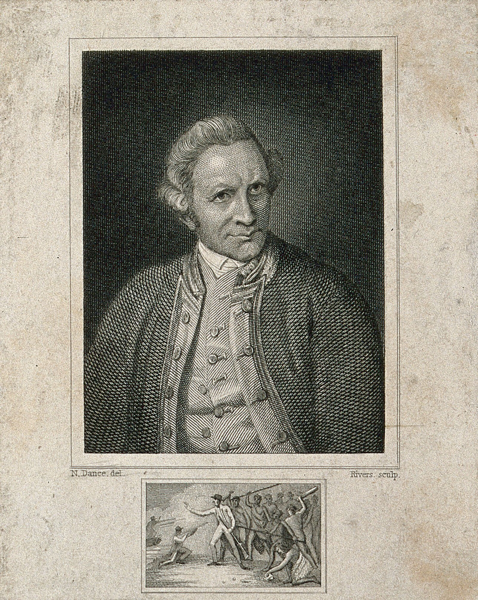
James Cook, engraving by Rivers after Dance-Holland
Nathaniel Dance-Holland · 1776
Free account
Read every James Cook source
Sign up free →
Ready when you are
Start chatting with James Cook now.
20 messages free · No credit card · Available in 50+ languages.