


Primary sourceDocumentcirca 1608
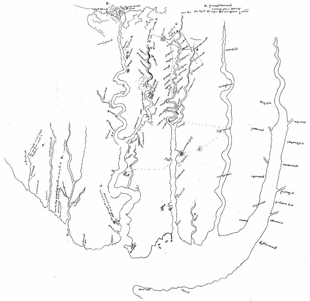
Chart of Virginia
Unknown (rediscovered by Alexander Brown) · circa 1608
A hand-drawn 1608 English chart of Virginia's rivers and coastline, mapping the region where Pocahontas and her people lived.
This 1608 chart depicts the Virginia coast and rivers Fleete later traded along, though it predates his documented activity.
About this source
What it is
This is a hand-drawn ink chart of Virginia's rivers and waterways from around 1608, likely sent to England by Captain Francis Nelson. It illustrates Captain John Smith's "True Relation" and was sent to England along with that text. The chart was later rediscovered by historian Alexander Brown.
Why it matters
This map shows the geography of the land along the James River where Pocahontas's people, the Powhatan, lived, and where English colonists like Captain John Smith settled and explored. Maps like this reveal how English settlers were gathering knowledge of the land—and how that knowledge spread, sometimes without official permission, as noted in connection with Captain Henry Hudson.
Look closer
- What can a map like this tell us about what the English colonists cared about most?
- Whose place names and knowledge are shown here, and whose are left out?
- Why might a map like this have been considered valuable or secret information?
This document is part of the curated material that grounds the AI version of Henry Fleete, Pocahontas and Opechancanough on Humy.ai — when students ask about related events, the AI can quote it and cite it.
More Henry Fleete sources
Meet the AI Henry Fleete → Book
Primary source
A Relation of Maryland
Published for Cecil Calvert, 2nd Baron Baltimore · 1635
 Book
Primary source
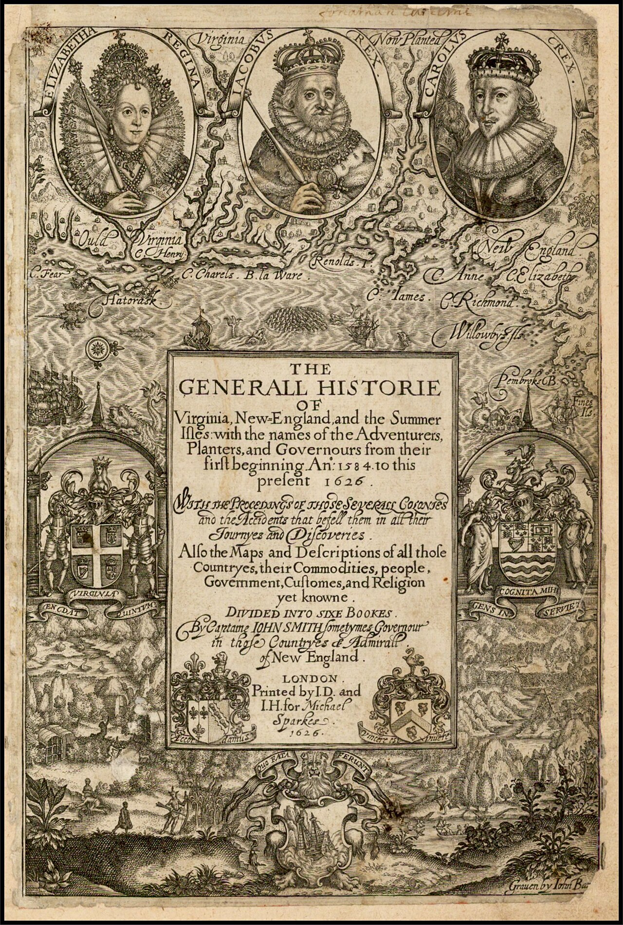
The Generall Historie of Virginia, New-England, and the Summer Isles
John Smith · 1624
 Diary entry
Primary source
Fleete's Potomac Trading Journal
Henry Fleete · 1631-1632 (reprinted 1876)
Secondary source
Archives of Maryland, Volume 18
William Hand Browne · 1883
Secondary source
Economic History of Virginia in the Seventeenth Century, Chapter 8
1896
Ready when you are
Start chatting with Henry Fleete now.
20 messages free · No credit card · Available in 50+ languages.