


Primary sourceDocument1529
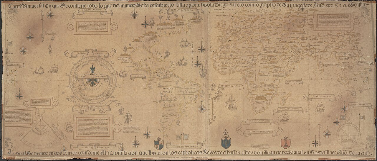
Diogo Ribeiro World Map (Carta Universal)
Diogo Ribeiro · 1529
A 1529 Spanish world chart by Diogo Ribeiro recording the Strait of Magellan and the Pacific Ocean revealed by Magellan's voyage.
Records the Strait of Magellan and the Pacific the expedition revealed, and the territorial disputes it caused.
About this source
What it is
This is a world map made in 1529 by Diogo Ribeiro, a Portuguese cartographer working for Spain, based on the official Spanish Padrón Real kept at the House of Trade in Seville. The surviving copy shown here is a 19th-century reproduction. It is held by the Biblioteca Apostolica Vaticana.
Why it matters
Ribeiro's chart is considered one of the first scientific world maps based on real exploration data. Made just a few years after Magellan's voyage, it records the Strait of Magellan and the vast Pacific Ocean, and shows Spain's uncertainty about the Pacific coast and the location of the valuable Spice Islands, a dispute that Magellan's expedition had set in motion.
Look closer
- What parts of the map look uncertain or incomplete, and why?
- How might information from Magellan's voyage have reached the mapmaker?
- Why would control of the Spice Islands matter enough to need an official map?
This document is part of the curated material that grounds the AI version of Ferdinand Magellan on Humy.ai — when students ask about related events, the AI can quote it and cite it.
More Ferdinand Magellan sources
Meet the AI Ferdinand Magellan →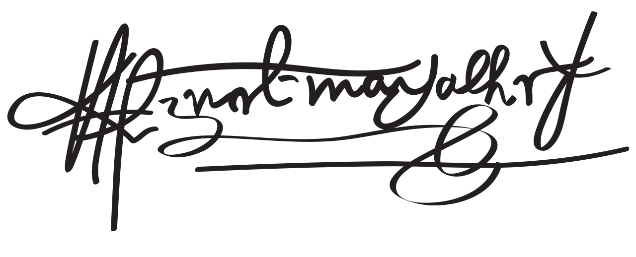 Document
Primary source
Signature of Ferdinand Magellan
Ferdinand Magellan
 Book
Secondary source
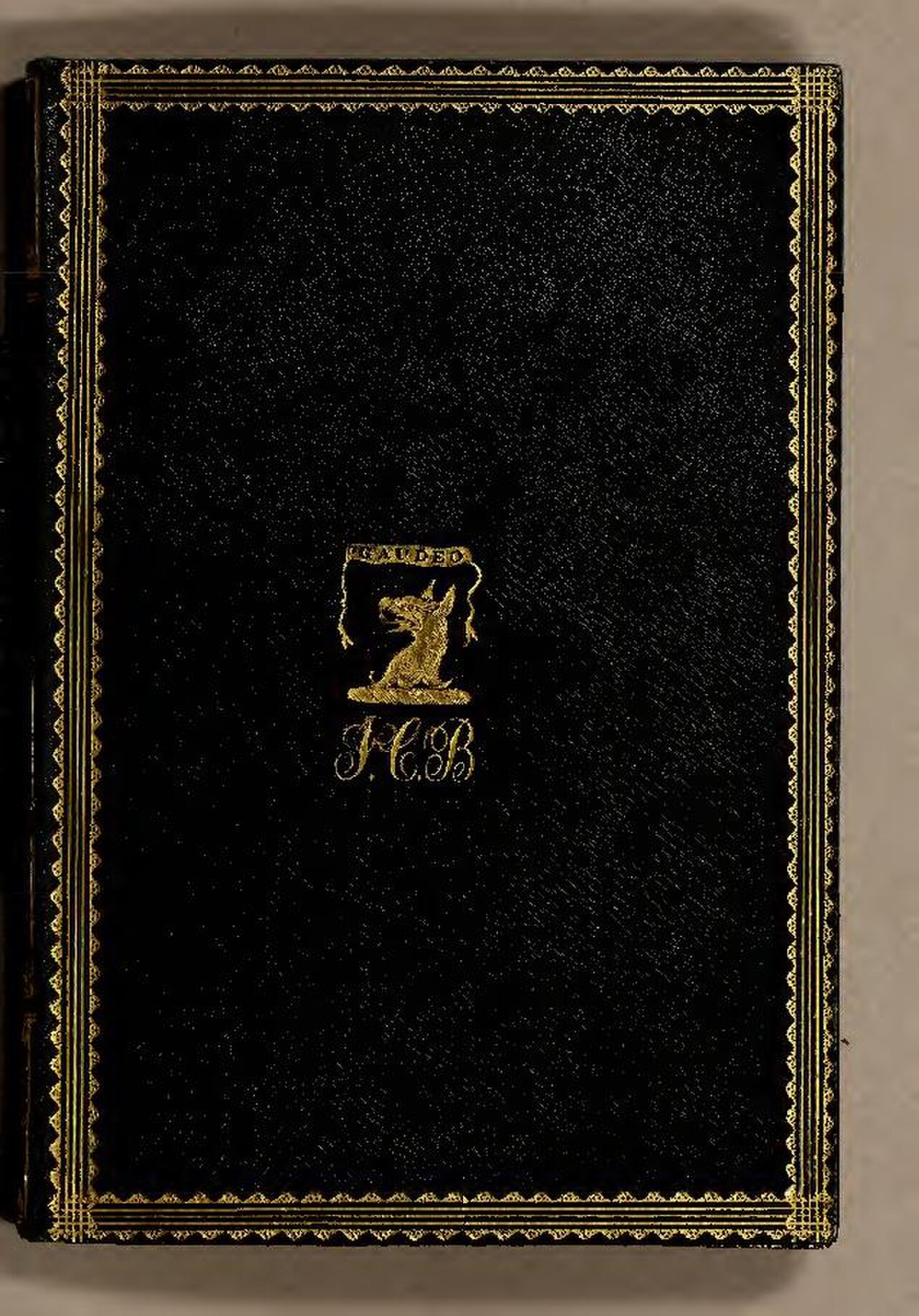
De Moluccis Insulis
Maximilianus Transylvanus · 1523
 Artifact
Secondary source
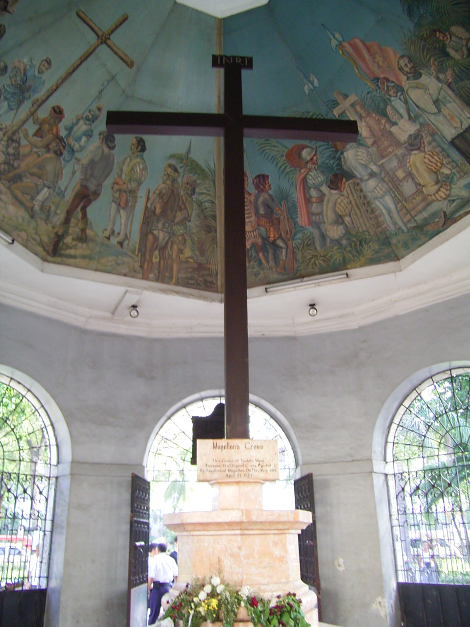
Magellan's Cross
planted April 1521; present cross 1835
 Sculpture
Primary source
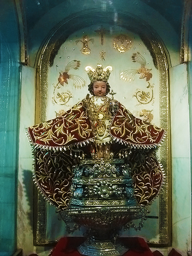
Santo Niño de Cebú
1519
 Painting
Secondary source
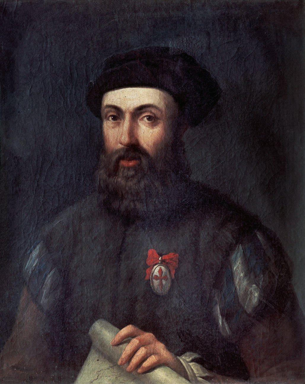
Portrait of Ferdinand Magellan
Unknown, after the school of Ángel Broncino
Ready when you are
Start chatting with Ferdinand Magellan now.
20 messages free · No credit card · Available in 50+ languages.