


Primary sourceArtifact
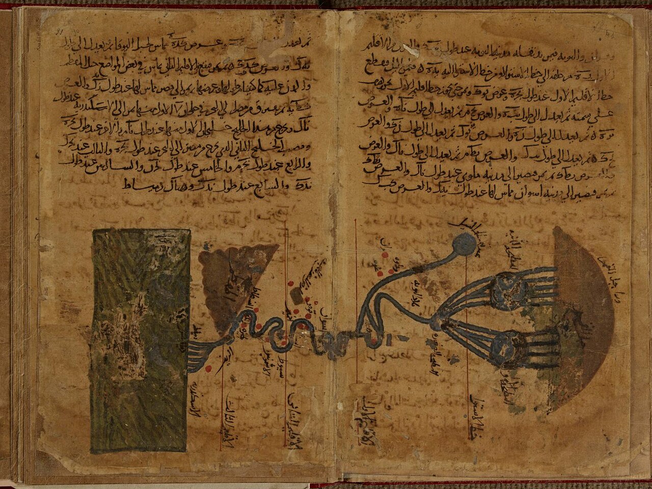
Earliest Extant Map of the Nile
Muḥammad ibn Musa al-Khwarizmi
A map of the Nile from the sole surviving manuscript of al-Khwarizmi's Geography, reworking Ptolemy's coordinates of the known world.
This map comes from al-Khwarizmi's own Geography, showing his reworking of earlier knowledge into a new picture of the world.
About this source
What it is
This colored map of the Nile comes from the only surviving manuscript of al-Khwarizmi's Kitab Surat al-Ard (Picture of the Earth), held in Strasbourg. It uses gouache and ink to show the river's branching channels and lakes.
Why it matters
Al-Khwarizmi's geography reworked the coordinates recorded earlier by the Greek astronomer Ptolemy into a new picture of the world as known in the ninth century. This map is one of the oldest surviving examples of Islamic geographic mapmaking and shows how Greek knowledge was transmitted and reshaped by Islamic scholars.
Look closer
- What details on the map tell you it was made by hand rather than surveyed with modern instruments?
- Why might a mathematician like al-Khwarizmi also have worked on geography?
- What might this map get wrong or leave out compared to a modern map of the Nile?
This artifact is part of the curated material that grounds the AI version of Al-Khwarizmi on Humy.ai — when students ask about related events, the AI can quote it and cite it.
More Al-Khwarizmi sources
Meet the AI Al-Khwarizmi →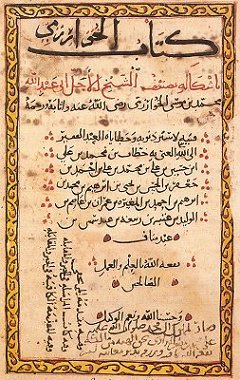 Book
Primary source
Al-Jabr
Muḥammad ibn Musa al-Khwarizmi · c. 820
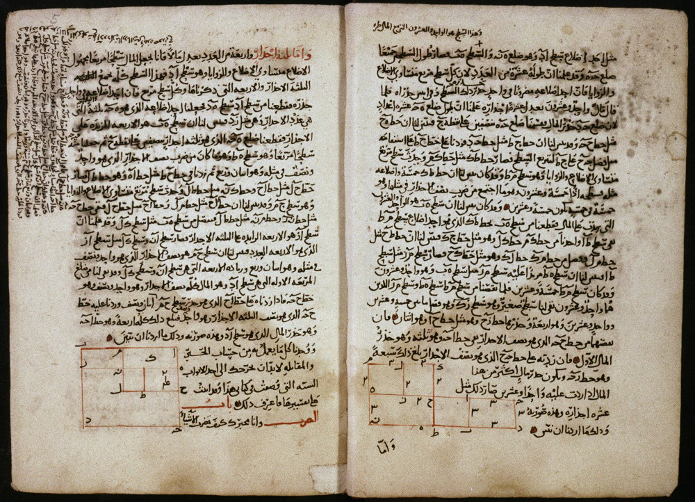 Book
Primary source
Algebra Manuscript, Bodleian MS. Huntington 214
Muḥammad ibn Musa al-Khwarizmi · 1342
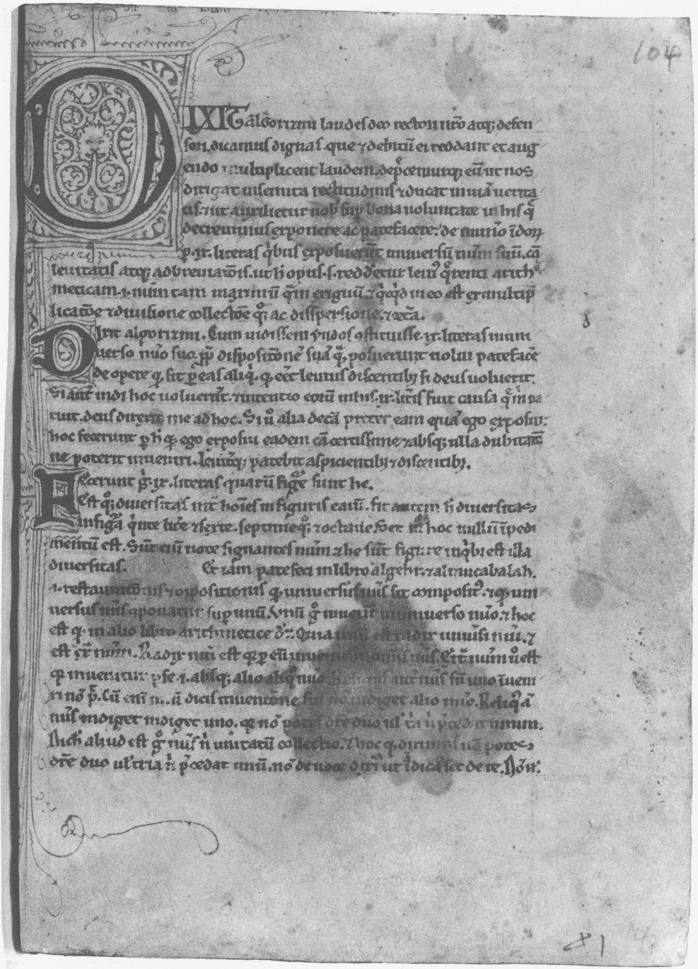 Book
Secondary source
Dixit Algorizmi
Muḥammad ibn Musa al-Khwarizmi
 Document
Secondary source
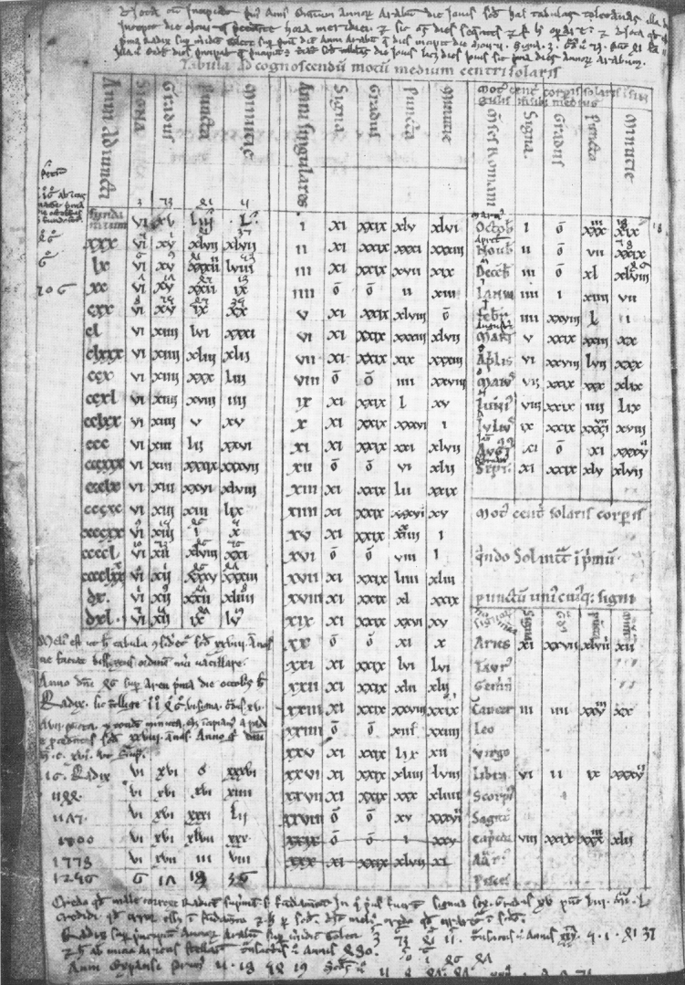
Zij Manuscript, Corpus Christi College MS 283
 Book
Secondary source
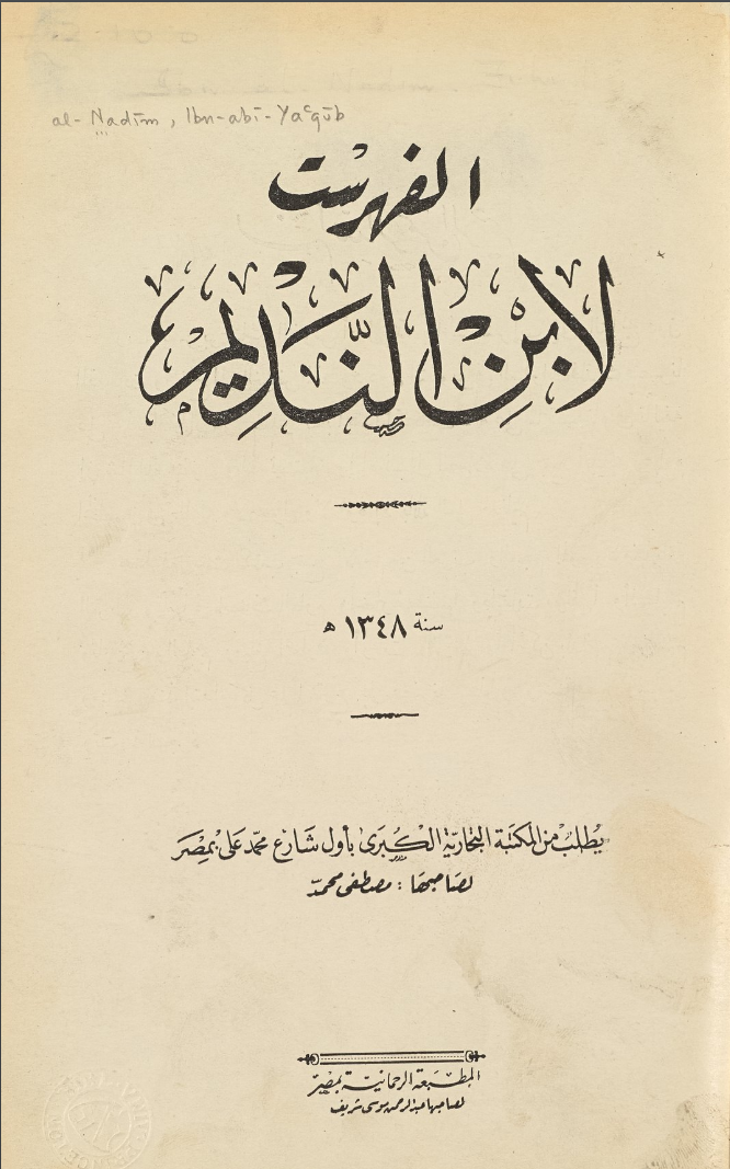
Al-Fihrist
Ibn al-Nadim · 987
Ready when you are
Start chatting with Al-Khwarizmi now.
20 messages free · No credit card · Available in 50+ languages.