


Primary sourceDocument1797
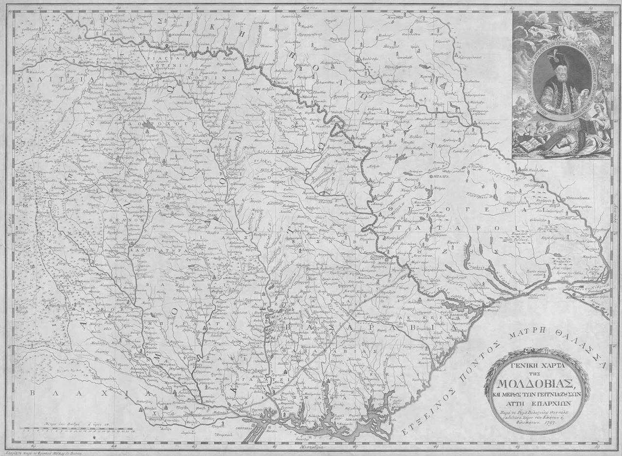
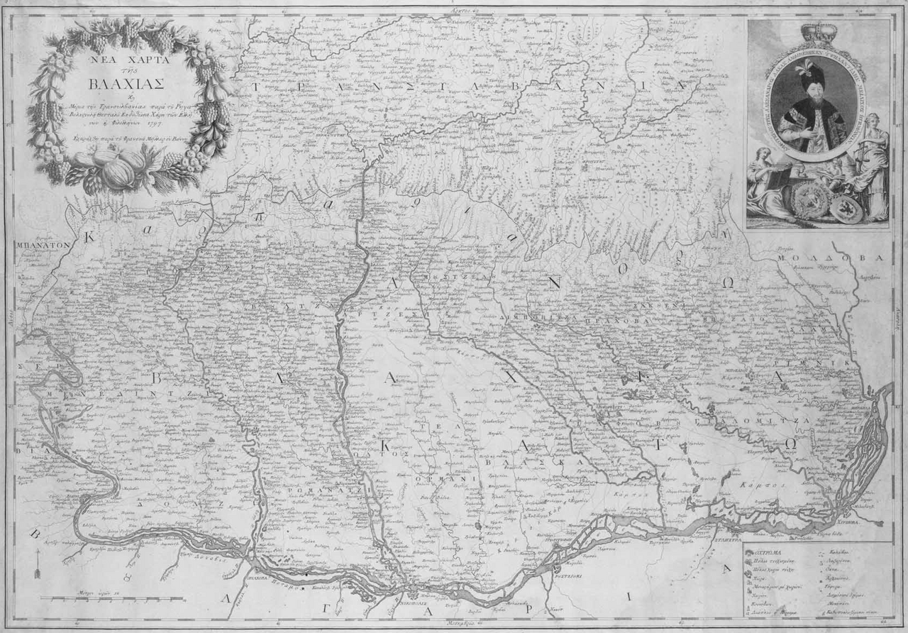
General Map of Moldavia
Rigas Velestinlis · 1797
A 1797 printed map of Moldavia and neighbouring provinces published by Rigas Velestinlis in Vienna for Greeks and philhellenes.
Rigas personally created and published this map as part of his cartographic and revolutionary work.
About this source
What it is
This is a printed map of Moldavia and the nearby provinces, published in 1797 by Rigas Velestinlis, a Greek scholar and revolutionary from Thessaly. It was printed in Vienna at Jacob Nitsch's press, with the engraving done by Franz Müller. The map is in black and white, printed on Dutch paper, and the only surviving copy in Greece is kept in the National Historical Museum.
Why it matters
Rigas made this map alongside his famous Charta of Greece, during the years he worked on cartography while planning revolutionary activity against Ottoman rule. The map shows his scientific interests and his wide knowledge of the Danubian lands where he had spent much of his career, and it was dedicated to Greeks and philhellenes everywhere.
Look closer
- Why would a revolutionary spend time making detailed maps instead of only writing political texts?
- What does the dedication to "Greeks and philhellenes" tell you about who Rigas expected to read this map?
- What is missing from a map like this that a modern map would include?
This document is part of the curated material that grounds the AI version of Rigas Feraios on Humy.ai — when students ask about related events, the AI can quote it and cite it.
More Rigas Feraios sources
Browse all 36 →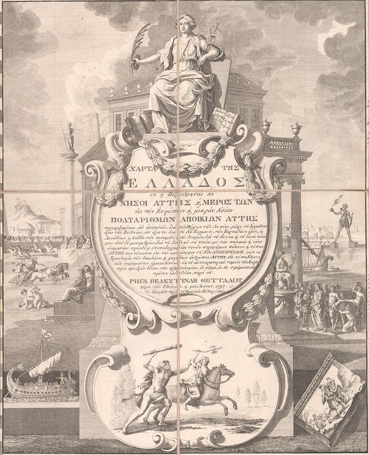 Document
Primary source
Map of Greece
Rigas Velestinlis · 1797
 Painting
Primary source
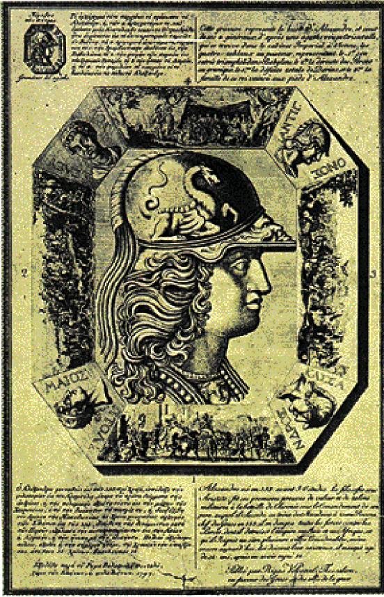
Pamphlet of Rigas Feraios
Rigas Velestinlis · 1797
 Sculpture
Secondary source
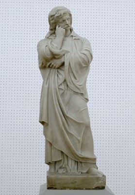
Rigas Feraios, 1867 Sculpture
Ioannis Kossos · 1867
 Book
Primary source
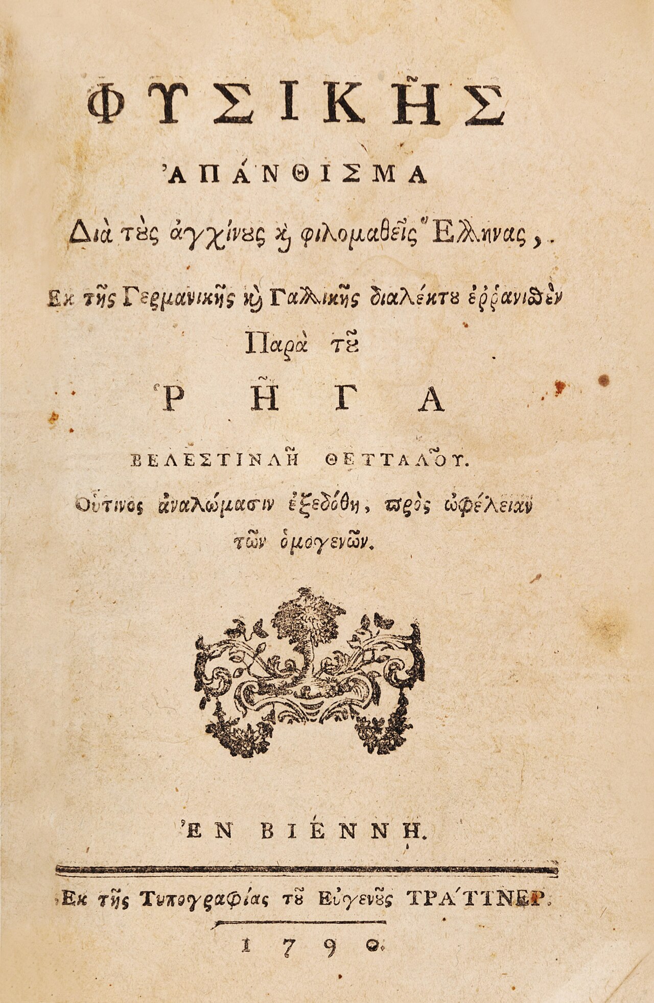
Anthology of Physics
Rigas Velestinlis · 1790
Free account
Read every Rigas Feraios source
Sign up free →
Ready when you are
Start chatting with Rigas Feraios now.
20 messages free · No credit card · Available in 50+ languages.