


Primary sourceDocument1797
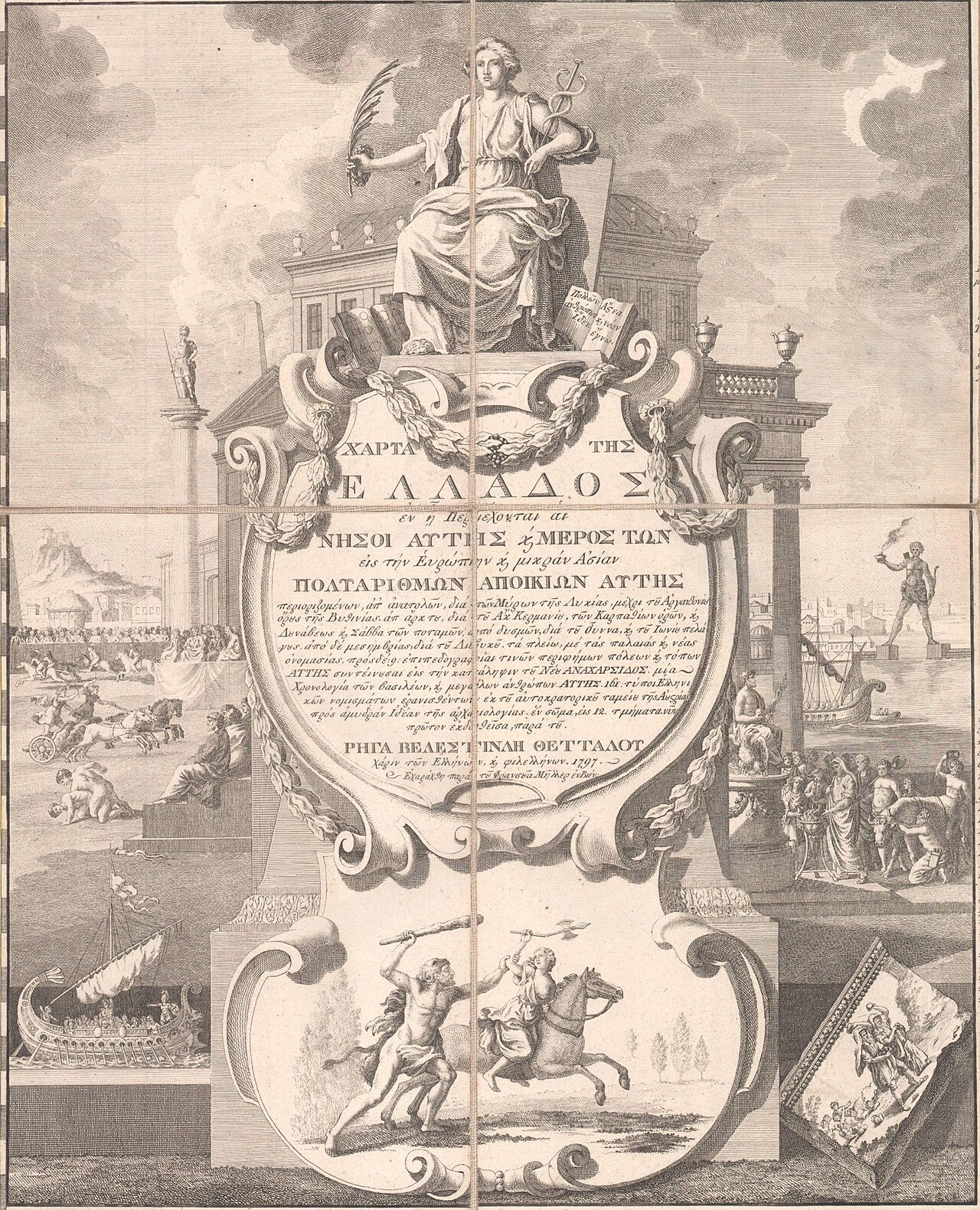
Map of Greece
Rigas Velestinlis · 1797
A huge 12-sheet engraved map of Greece and the Balkans made by Rigas Velestinlis in 1797, linking ancient heritage to a future liberated Greek state.
Rigas created this map himself, showing his vision of a Greek and Balkan world tied to classical heritage.
About this source
What it is
This is a large 12-sheet engraved map (the Charta) of Greece and the Balkans, made in Vienna in 1797 by Rigas Velestinlis. It shows ancient sites and coins alongside the geography of the region.
Why it matters
Rigas was a Greek Enlightenment thinker who used maps and prints to connect the classical past with his vision of a free Balkan state. The decorative title page, with its allegorical figures and scenes of ancient life, shows how he blended scholarship with political purpose.
Look closer
- What symbols and figures appear in the title cartouche, and what might they represent?
- Why might a mapmaker include ancient ruins and coins on a modern geographic map?
- What does the choice of imagery tell us about Rigas's hopes for Greece's future?
This document is part of the curated material that grounds the AI version of Rigas Feraios on Humy.ai — when students ask about related events, the AI can quote it and cite it.
More Rigas Feraios sources
Browse all 36 →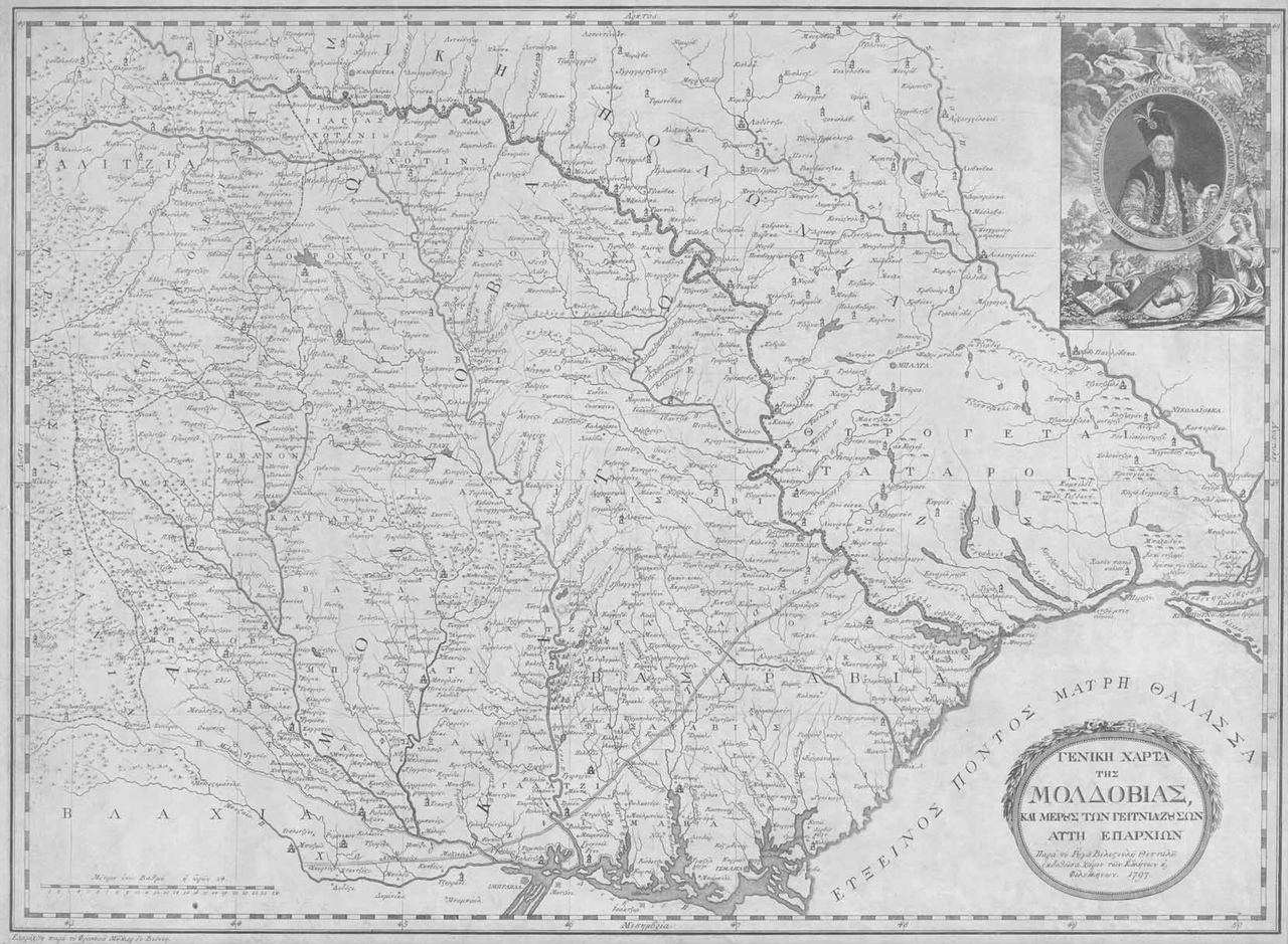 Document
Primary source
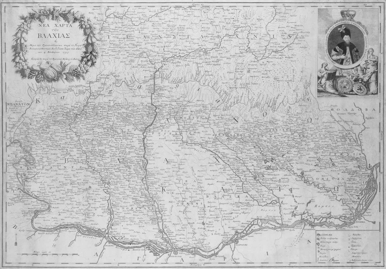
General Map of Moldavia
Rigas Velestinlis · 1797
 Painting
Primary source
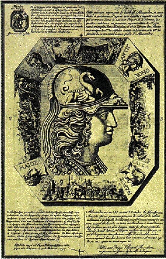
Pamphlet of Rigas Feraios
Rigas Velestinlis · 1797
 Sculpture
Secondary source
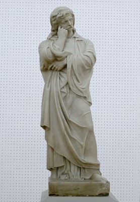
Rigas Feraios, 1867 Sculpture
Ioannis Kossos · 1867
 Book
Primary source
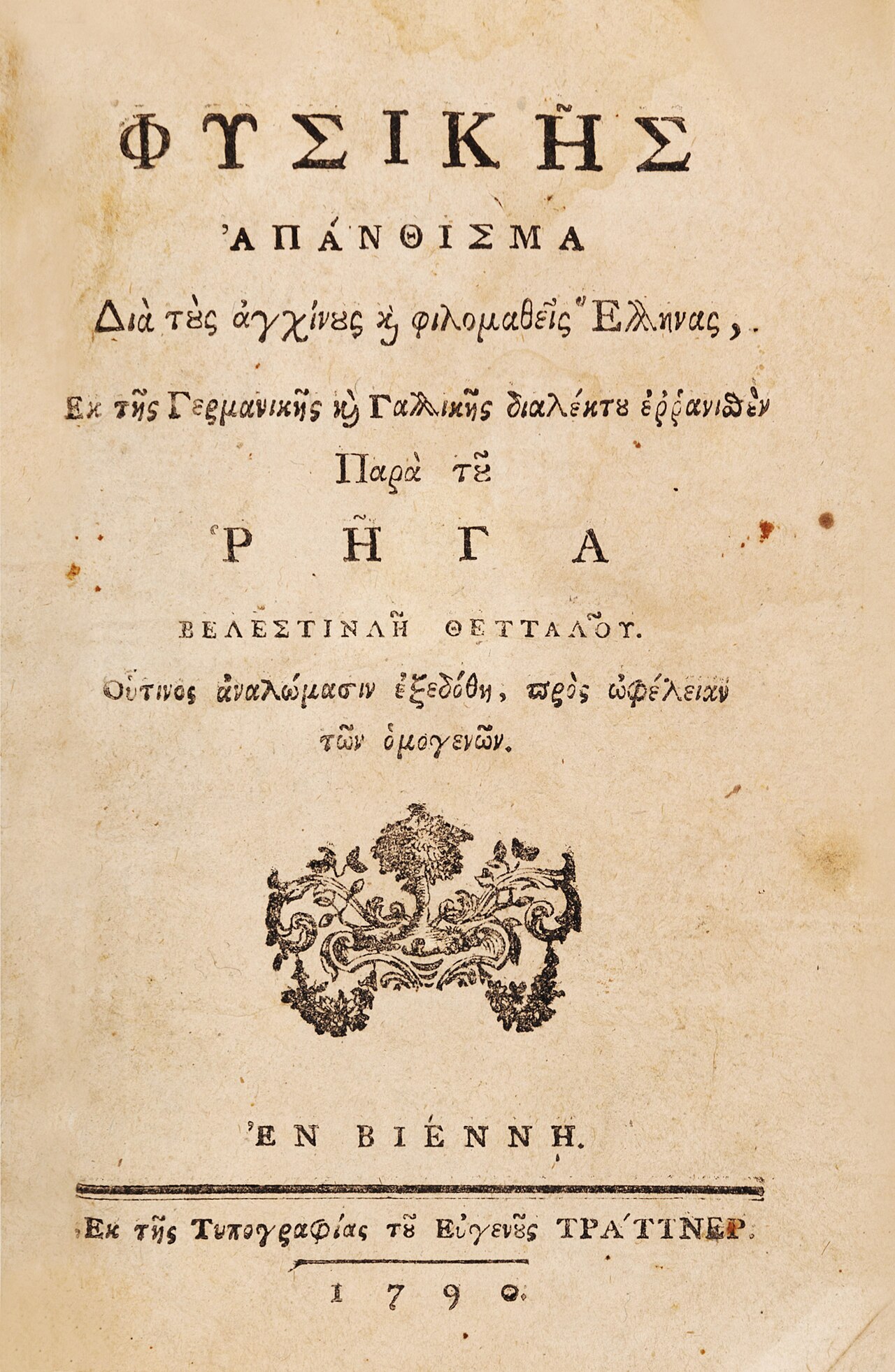
Anthology of Physics
Rigas Velestinlis · 1790
Free account
Read every Rigas Feraios source
Sign up free →
Ready when you are
Start chatting with Rigas Feraios now.
20 messages free · No credit card · Available in 50+ languages.