


Secondary sourceArtifact2007
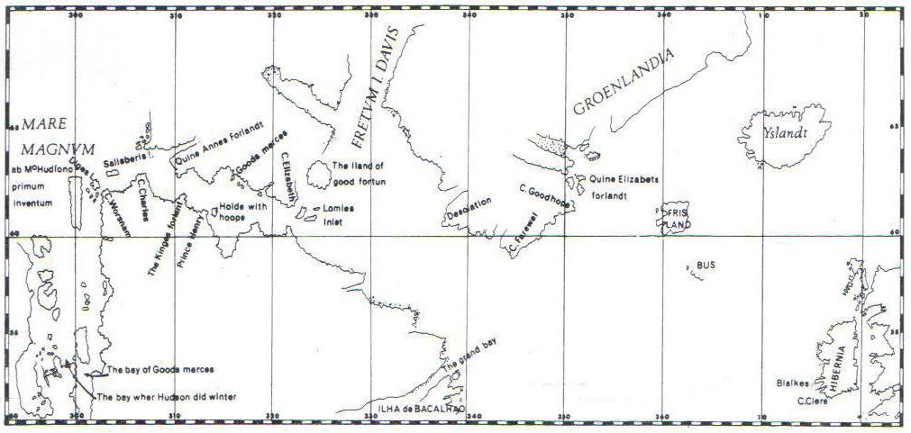
Geographic map of Henry Hudson's fourth voyage, 1610–1611
Jeangagnon · 2007
A hand-drawn style map tracing Hudson's final 1610–11 voyage through the North Atlantic and Arctic.
Charts the geography of Hudson's final, fatal voyage of 1610–1611.
About this source
What it is
This map, created by Jeangagnon, shows the route of Henry Hudson's fourth and final voyage in 1610–1611. It labels regions such as the North Atlantic, Davis Strait, Greenland, and Iceland, and traces Hudson's path through bays and straits using an old-style outline with latitude and longitude lines.
Why it matters
This voyage ended with Hudson's crew mutinying and setting him adrift; the map helps place that dramatic final journey in geographic context. It is a modern illustration made long after the events, meant to help readers understand Hudson's route rather than a document from his own era.
Look closer
- Why might mapmakers use old-style place names and Latin labels on a modern map?
- What does the detailed route tell us about the hardships of Arctic navigation?
- What is missing from a map like this that a ship's log might have included?
This artifact is part of the curated material that grounds the AI version of Henry Hudson on Humy.ai — when students ask about related events, the AI can quote it and cite it.
More Henry Hudson sources
Meet the AI Henry Hudson → Diary entry
Primary source
Robert Juet's Journal of the Third Voyage of Henry Hudson
Robert Juet · 1609 (printed 1625)
 Document
Secondary source
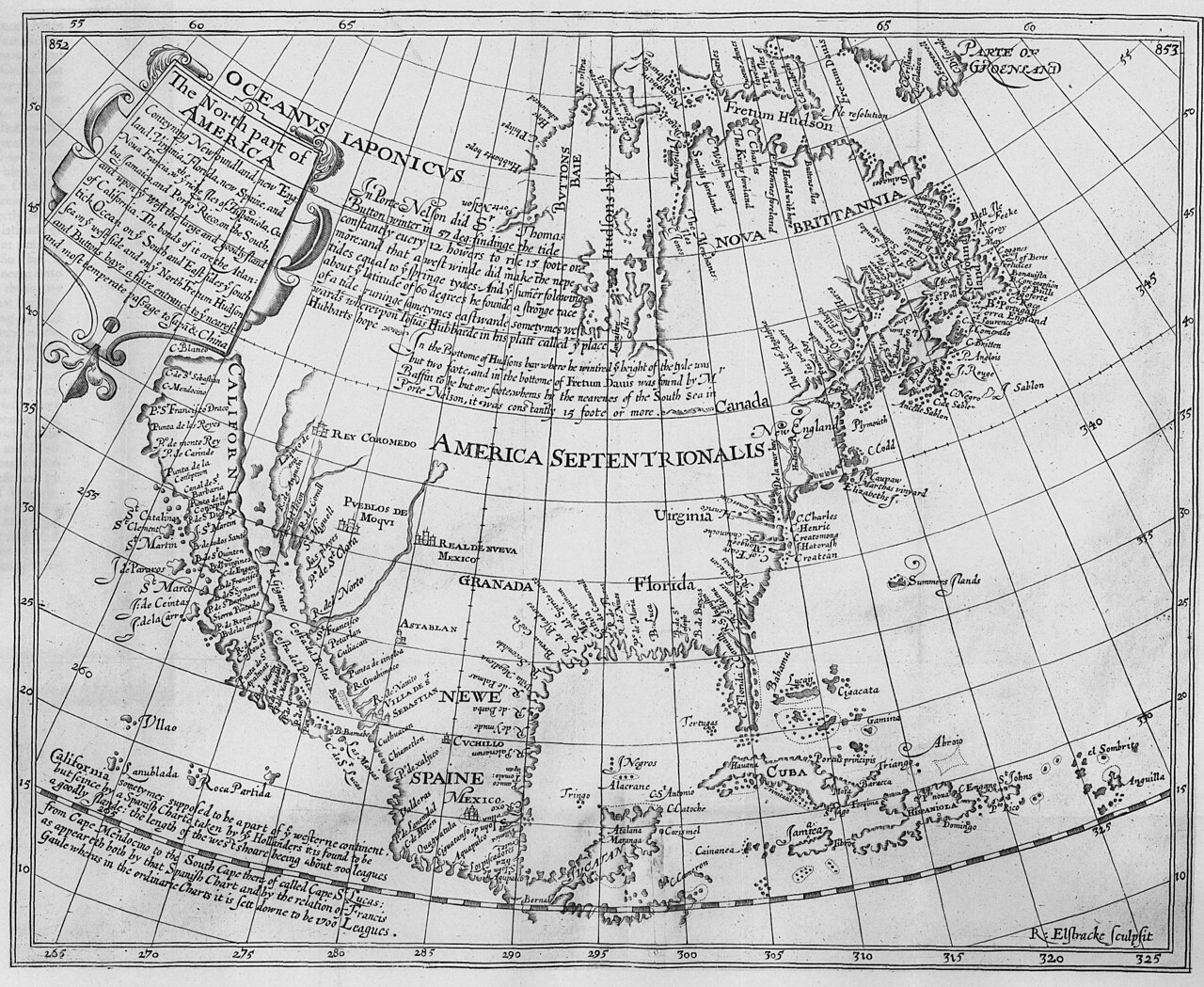
The North Part of America
Henry Briggs · 1625
Secondary source
Hakluytus Posthumus, or Purchas His Pilgrimes
Samuel Purchas · 1625
 Sculpture
Secondary source
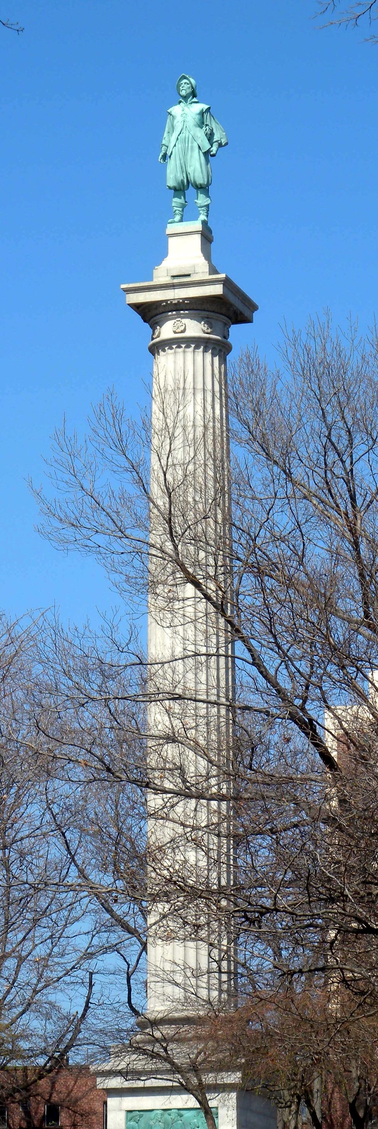
Henry Hudson Memorial (Henry Hudson Park monument)
Karl Gruppe (statue, from a model by Karl Bitter); Walter Cook (column design) · 1938
 Painting
Secondary source
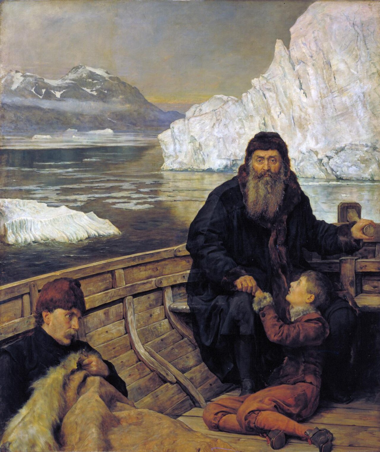
Last Voyage Of Henry Hudson
John Collier · 1881
Ready when you are
Start chatting with Henry Hudson now.
20 messages free · No credit card · Available in 50+ languages.