


Primary sourceDocument1855
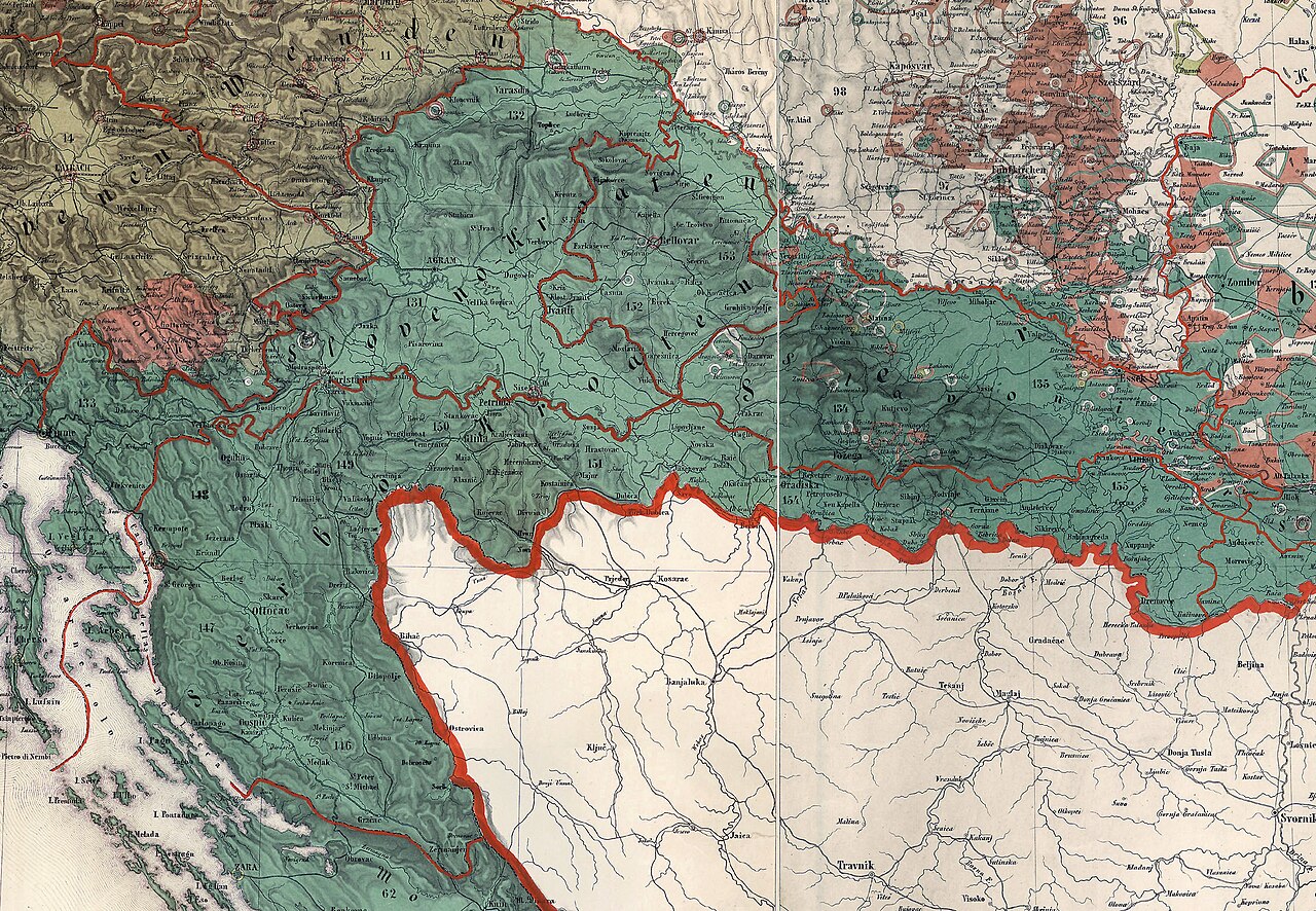
Kingdoms of Croatia and Slavonia and the Military Frontiers, 1855
Karl Freiherr von Czoernig · 1855
An 1855 ethnographic map of the Croatian lands and Military Frontier that Jelačić governed as Ban.
Maps the Croatian lands Jelačić ruled as Ban, showing the territory of his authority rather than the man himself.
About this source
What it is
This is a hand-colored map from 1855 made by Karl Freiherr von Czoernig, extracted from a larger ethnographic map of the Austrian Monarchy. It shows the Kingdoms of Croatia and Slavonia and the Croatian and Slavonian Military Frontiers, with colored regions marking ethnic groups, numbered districts, and the Adriatic coastline.
Why it matters
This map shows the territory that Josip Jelačić administered as Ban of Croatia, giving students a sense of the geography and complex ethnic makeup of the region he governed. The note on the map explains that the borders shown reflect only a narrow period, 1854 to 1860, reminding us that political boundaries in this region shifted often.
Look closer
- What does the mix of colors tell you about the ethnic diversity of this region?
- Why might a government want to make an ethnographic map like this?
- What is left out of a map like this that a resident of the region might have known?
This document is part of the curated material that grounds the AI version of Josip Jelačić and Ante Starčević on Humy.ai — when students ask about related events, the AI can quote it and cite it.
More Josip Jelačić sources
Browse all 64 →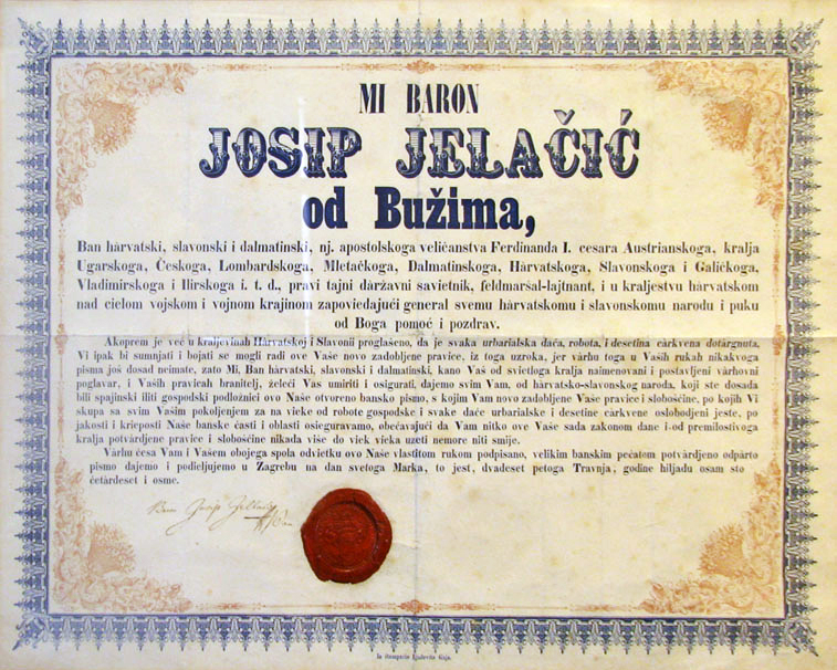 Document
Primary source
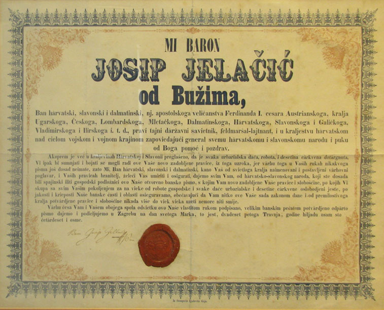
Proclamation Abolishing Serfdom in Croatia
Josip Jelačić · 25 April 1848
 Painting
Primary source
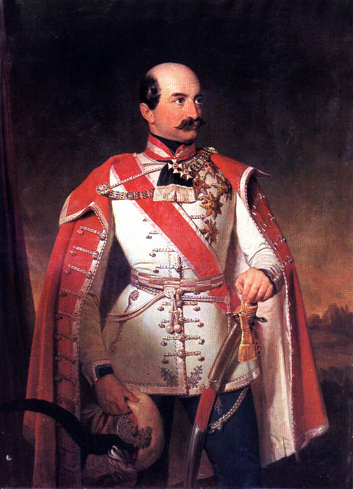
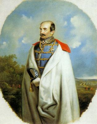
Portrait of Ban Josip Jelačić
Ivan Zasche
 Painting
Primary source
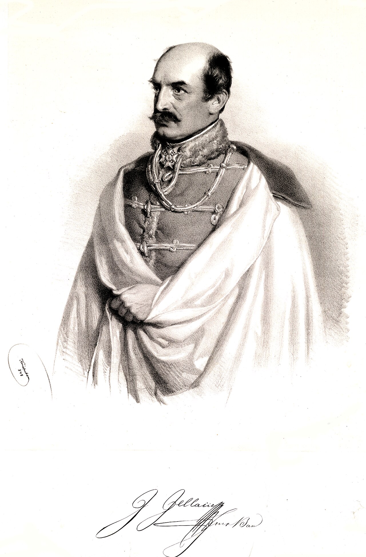
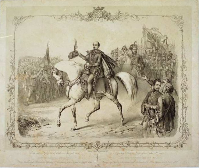
Joseph Graf Jelačić von Bužim
Josef Kriehuber · 1848
 Sculpture
Secondary source
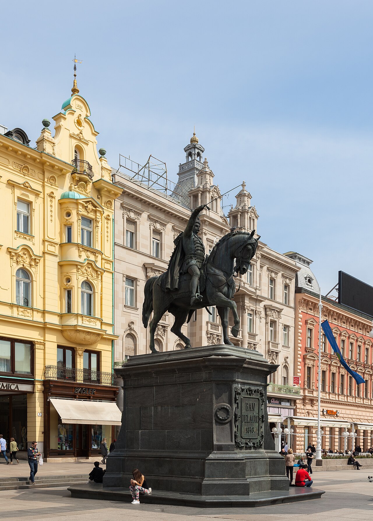
Ban Jelačić Statue
Anton Dominik Fernkorn · 1866
Free account
Read every Josip Jelačić source
Sign up free →
Ready when you are
Start chatting with Josip Jelačić now.
20 messages free · No credit card · Available in 50+ languages.