


Primary sourceDocument1791
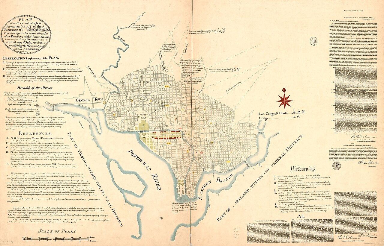
L'Enfant Plan
Pierre Charles L'Enfant · 1791
Pierre L'Enfant's 1791 design for Washington, D.C., created around the time Banneker worked on the federal district survey.
This plan lets students examine the real history behind the popular myth that Banneker redrew it from memory.
About this source
What it is
This is the urban plan for Washington, D.C. designed by French engineer Pierre Charles L'Enfant in 1791, commissioned by President Washington and overseen with input from Thomas Jefferson. It laid out streets, grand avenues, and sites for the Capitol and President's House.
Why it matters
The plan was created during the same period that Banneker assisted Andrew Ellicott's survey of the federal district's boundaries. Comparing the two helps students test the popular story that Banneker reconstructed L'Enfant's city design from memory after L'Enfant left the project, since the surviving original plan allows that claim to be checked against the facts.
Look closer
- What is the difference between surveying a district's boundaries and designing a city's street plan?
- Why might a popular story credit Banneker with recreating this plan from memory, and how could you check if that story is accurate?
- What does the plan's grid and diagonal avenues tell you about L'Enfant's ambitions for the new capital?
This document is part of the curated material that grounds the AI version of Benjamin Banneker on Humy.ai — when students ask about related events, the AI can quote it and cite it.
More Benjamin Banneker sources
Meet the AI Benjamin Banneker →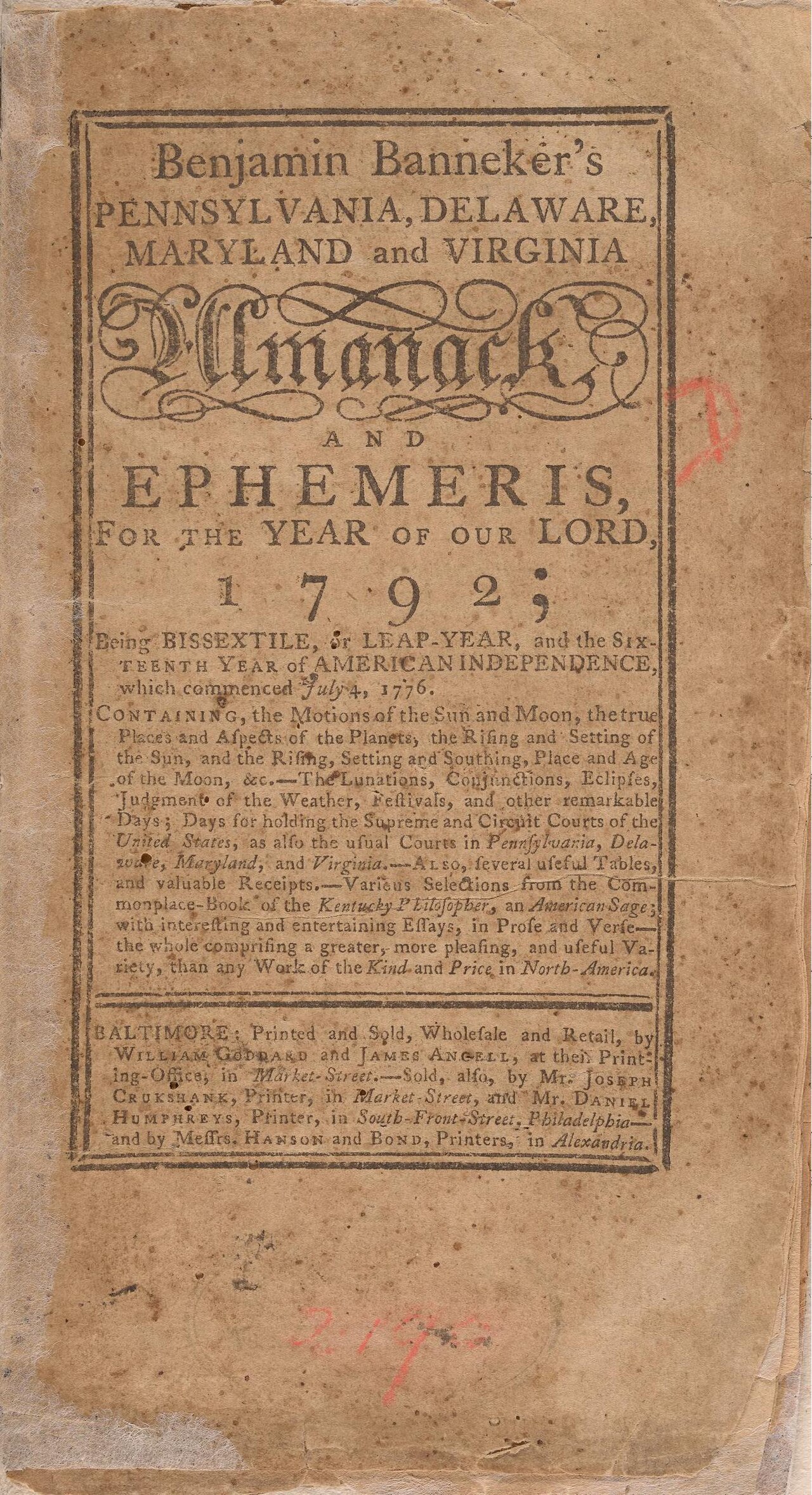 Book
Primary source
Benjamin Banneker's Pennsylvania, Delaware, Maryland and Virginia Almanack and Ephemeris for 1792
Benjamin Banneker · 1791
 Painting
Primary source
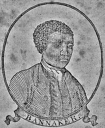
Benjamin Banneker woodcut, age 64
Unknown · 1795
Secondary source
De la littérature des Nègres
Henri Grégoire · 1808
 Artifact
Primary source
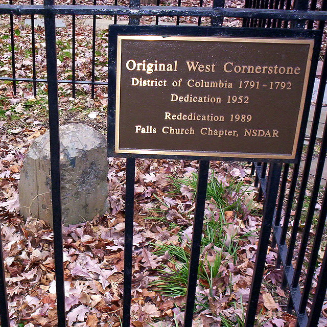
Boundary Stones of the original District of Columbia
Andrew Ellicott's survey team · 1791–1792
Primary source
The Talented Tenth
W. E. B. Du Bois · 1903
Ready when you are
Start chatting with Benjamin Banneker now.
20 messages free · No credit card · Available in 50+ languages.