


Primary sourceDocument1692
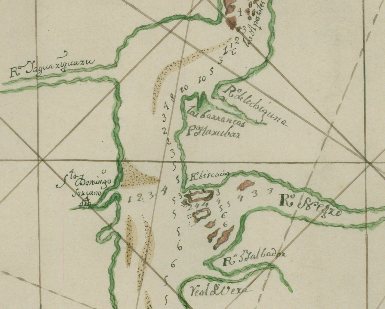
Manuel de Ibarbelz Map of the Río de la Plata
Manuel de Ibarbelz · 1692
A 1692 colonial manuscript map fragment of the Río de la Plata region that Cabeza de Vaca later governed.
A later map of the Río de la Plata region, the territory Cabeza de Vaca governed as a Spanish official.
About this source
What it is
This is a fragment of a hand-painted manuscript map of the Río de la Plata region, made in 1692 by Manuel de Ibarbelz and preserved in the Archivo de Indias in Spain. It shows river courses, islands, and place names written in Spanish, along with depth or distance markings.
Why it matters
Although made more than a century after Cabeza de Vaca's time in the region, this map depicts the same river system he governed as a Spanish official. It offers insight into how Spain mapped and claimed territory in South America during the colonial period.
Look closer
- What details on the map suggest how carefully Spanish officials tracked this territory?
- Why do you think so many place names are in Spanish rather than Indigenous languages?
- How might this map differ from one made by the Indigenous peoples who lived along this river?
This document is part of the curated material that grounds the AI version of Álvar Núñez Cabeza de Vaca on Humy.ai — when students ask about related events, the AI can quote it and cite it.
More Álvar Núñez Cabeza de Vaca sources
Meet the AI Álvar Núñez Cabeza de Vaca →Primary source
The Account and Commentaries of Governor Álvar Núñez Cabeza de Vaca
Álvar Núñez Cabeza de Vaca · 1542
 Book
Primary source
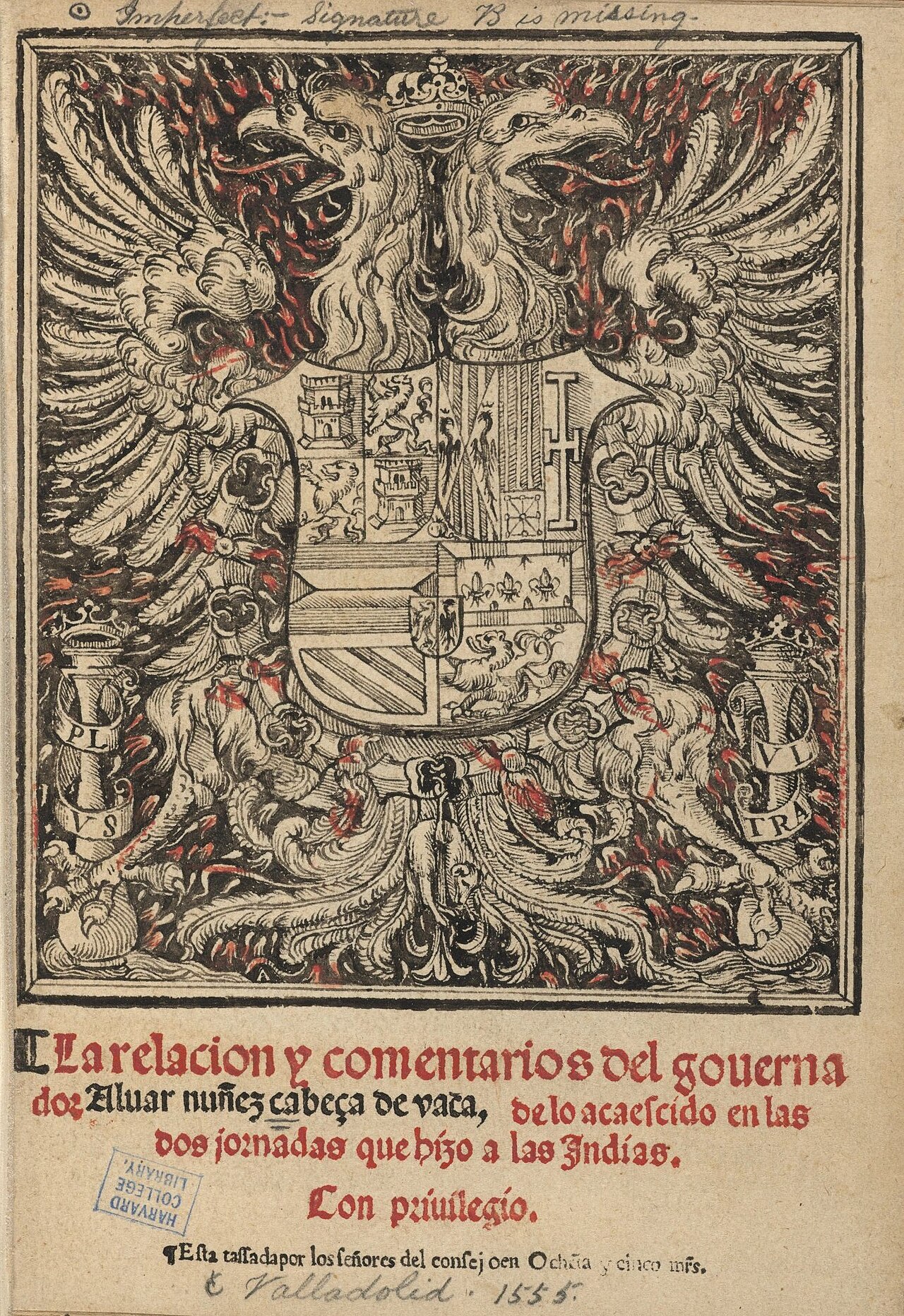
La relación y comentarios del gouernador Álvar Núñez Cabeza de Vaca
Álvar Núñez Cabeza de Vaca · 1555
 Book
Secondary source
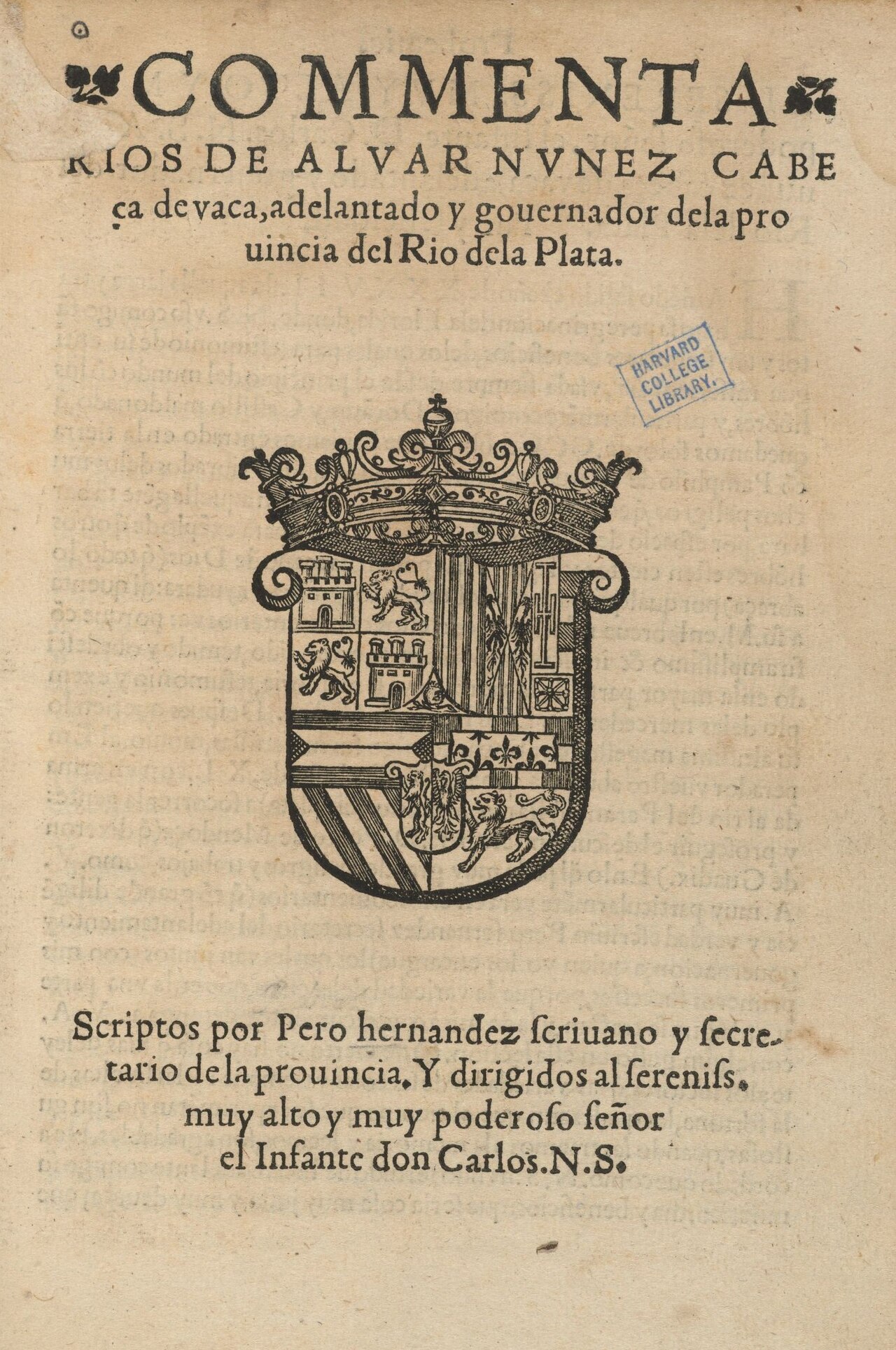
Comentarios de Álvar Núñez Cabeza de Vaca
Pero Hernández · 1555
 Book
Secondary source
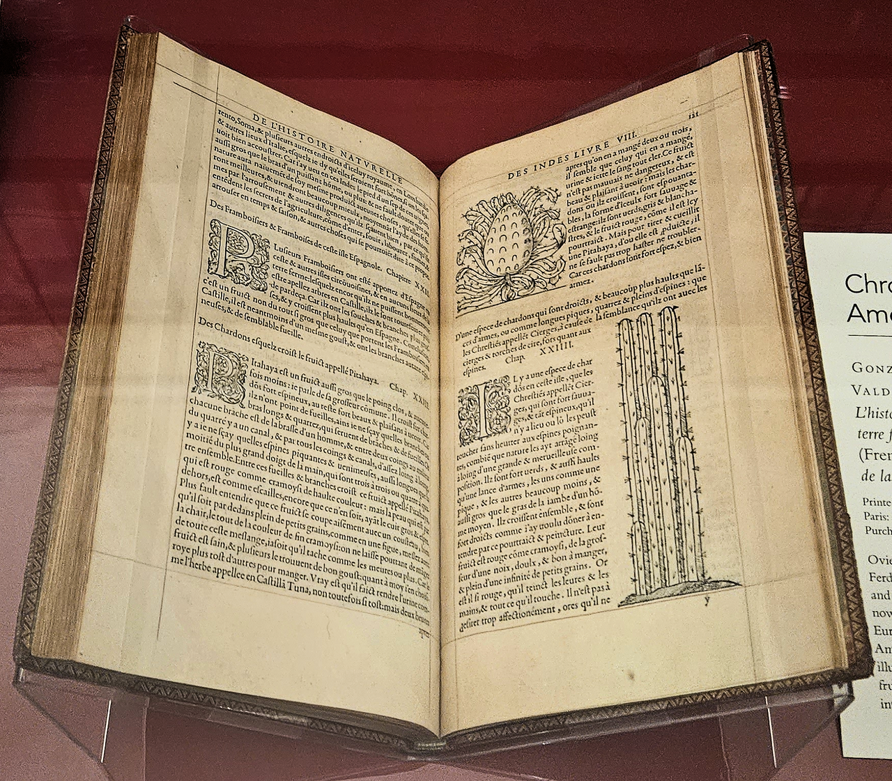
Historia general y natural de las Indias
Gonzalo Fernández de Oviedo y Valdés · 1556 (French edition); original work 16th century
 Document
Primary source
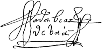
Signature of Álvar Núñez Cabeza de Vaca
Álvar Núñez Cabeza de Vaca · reproduced 1886, original signature undated
Ready when you are
Start chatting with Álvar Núñez Cabeza de Vaca now.
20 messages free · No credit card · Available in 50+ languages.