


Secondary sourceDocument1866
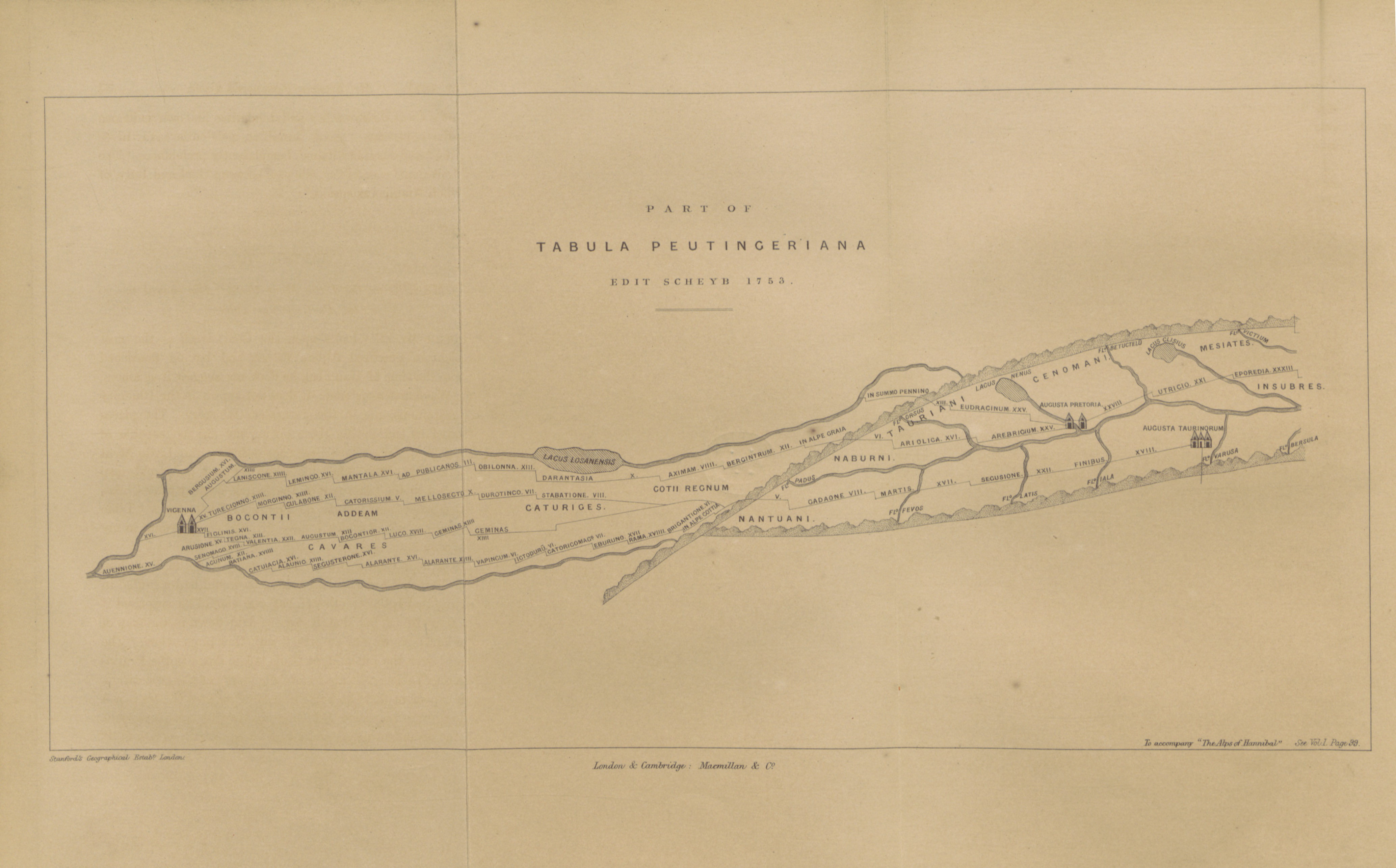
Map from The Alps of Hannibal
1866
An 1866 engraved map tracing part of the Roman road network across the Alps, used in a study of Hannibal's famous crossing.
Part of an 1866 scholarly study attempting to trace Hannibal's famous route across the Alps into Italy.
About this source
What it is
This engraved map, titled 'Part of Tabula Peutingeriana, Edit Scheyb 1753', comes from a volume of the 1866 book 'The Alps of Hannibal', held by the British Library. It shows a long narrow strip of Roman-era regions, roads, lakes, and rivers across the Alps.
Why it matters
Historians have long debated exactly which route Hannibal took when he led his army, including elephants, across the Alps to invade Italy. This map was created to help readers follow that debate, using an older Roman road map as a reference. It shows how scholars use ancient sources to try to reconstruct events from over two thousand years ago.
Look closer
- What kind of information does this map provide, and what does it leave out?
- Why might the exact route Hannibal took still be uncertain today?
- How does combining an ancient Roman map with 19th-century scholarship help or complicate the search for Hannibal's path?
This document is part of the curated material that grounds the AI version of Hannibal Barca on Humy.ai — when students ask about related events, the AI can quote it and cite it.
More Hannibal Barca sources
Meet the AI Hannibal Barca →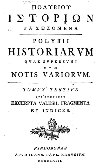 Book
Secondary source
The Histories
Polybius · c. 150 BCE
 Book
Primary source
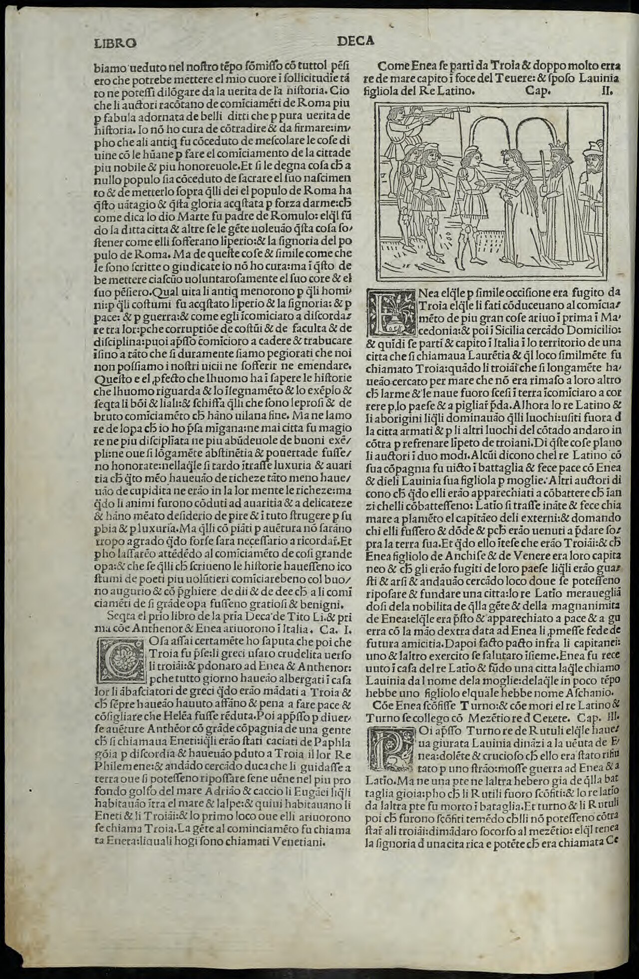
History of Rome
Titus Livius · 27-9 BC
Secondary source
Life of Hannibal
Cornelius Nepos
 Book
Secondary source
The Hannibalic War and The Punic Wars (Libyca)
Appian of Alexandria · c. AD 150
 Sculpture
Secondary source
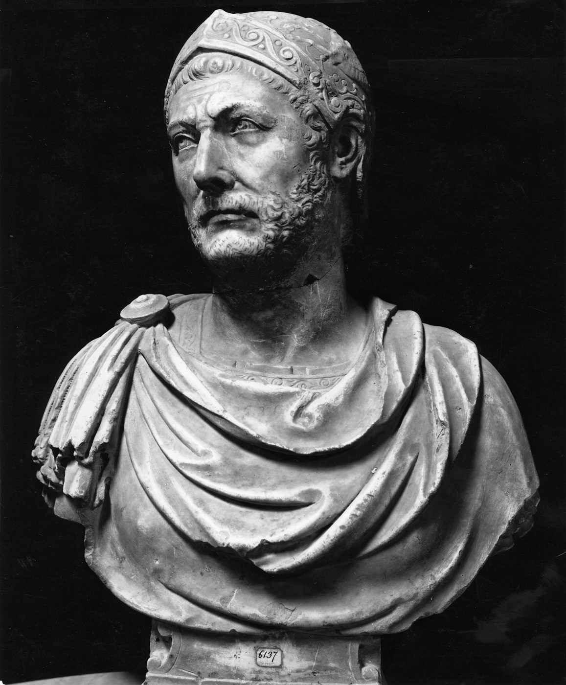
Capuan bust of Hannibal
1st century BC - 4th century AD
Ready when you are
Start chatting with Hannibal Barca now.
20 messages free · No credit card · Available in 50+ languages.