


Secondary sourceArtifact1892
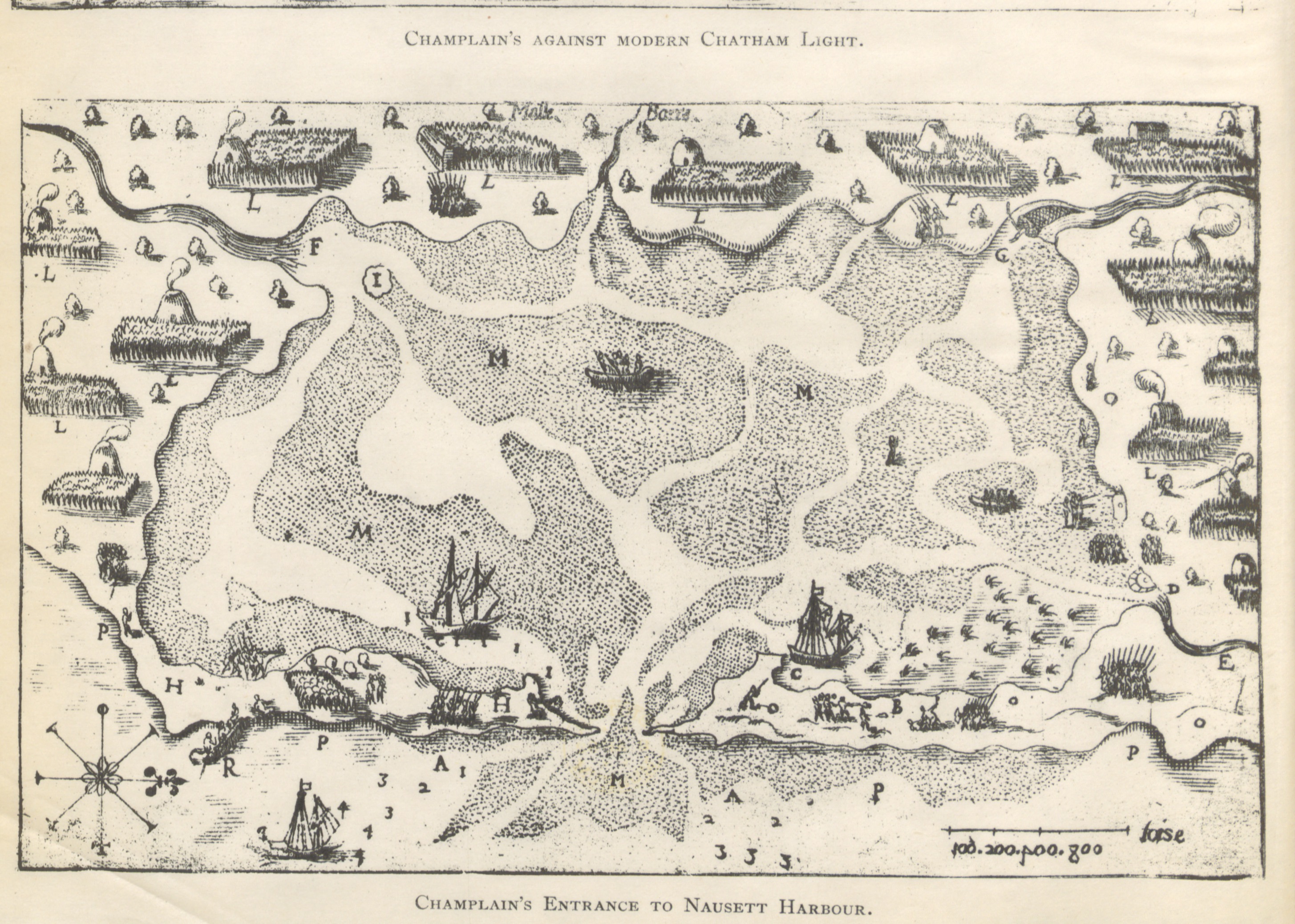
Map from The Landfall of Leif Erikson, A.D. 1000
1892
An 1892 engraved map from a study of where Leif Erikson may have landed in Vinland, showing a coastal survey by Champlain.
Part of a scholarly attempt to identify the real location of Leif Erikson's landing site in Vinland.
About this source
What it is
This engraved map comes from an 1892 book studying the landfall of Leif Erikson around the year 1000 and the possible site of his houses in Vinland. The map shown here depicts a coastal survey made by the French explorer Champlain, compared against a modern lighthouse location. It is held by the British Library.
Why it matters
This map is part of a 19th-century scholarly effort to pinpoint exactly where Leif Erikson might have landed in North America, using later explorers' records like Champlain's for comparison. It shows how historians tried to connect saga accounts to real geography.
Look closer
- Why would a 19th-century historian compare a 17th-century map of Champlain's voyage to Leif Erikson's saga landfall?
- What clues on the map, like the compass rose and scale bar, tell us about how coastlines were measured at the time?
- What assumptions must a historian make to link old saga place-names to real locations?
This artifact is part of the curated material that grounds the AI version of Leif Erikson on Humy.ai — when students ask about related events, the AI can quote it and cite it.
More Leif Erikson sources
Meet the AI Leif Erikson →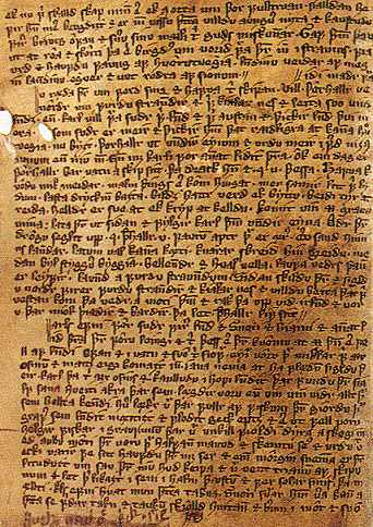 Book
Secondary source
Saga of Erik the Red
c. 1300 (manuscript); events set c. 1000
 Document
Secondary source
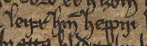
Leifr hinn heppni
early 14th century
 Artifact
Primary source
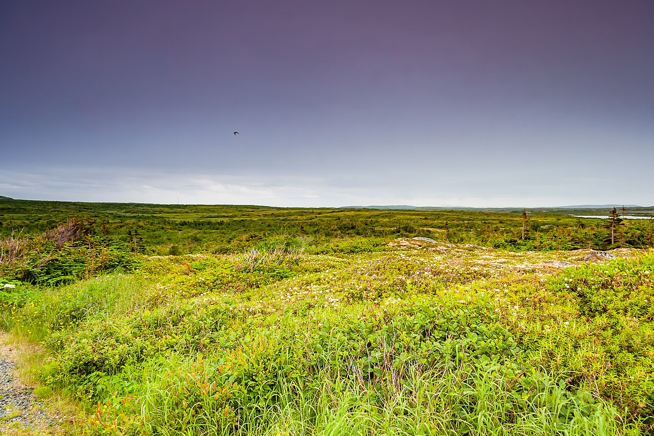
L'Anse aux Meadows Norse site
Norse Greenlanders · c. 1000-1021
 Book
Secondary source
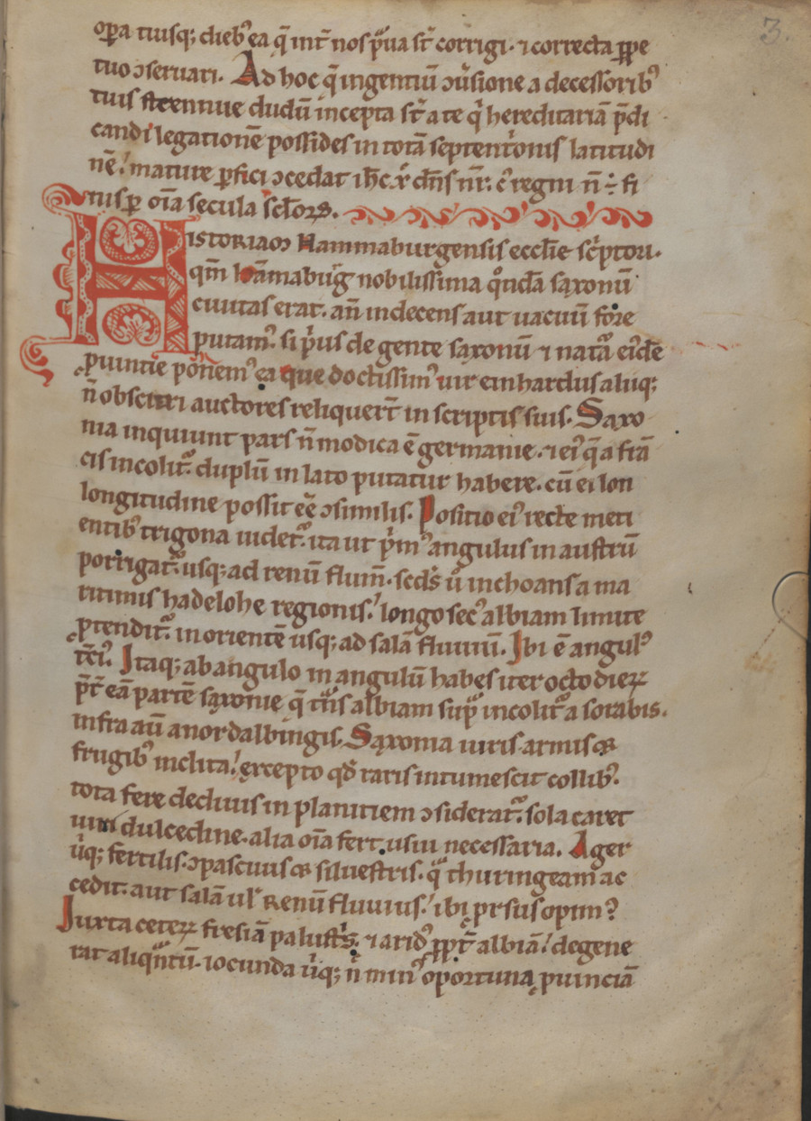
Gesta Hammaburgensis ecclesiae pontificum
Adam of Bremen · 1073-1076
 Book
Secondary source
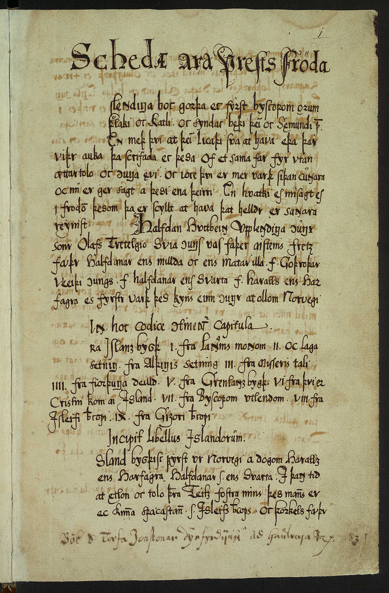
Íslendingabók
Ari Þorgilsson · c. 1122-1133
Ready when you are
Start chatting with Leif Erikson now.
20 messages free · No credit card · Available in 50+ languages.