


Primary sourceDocument1899
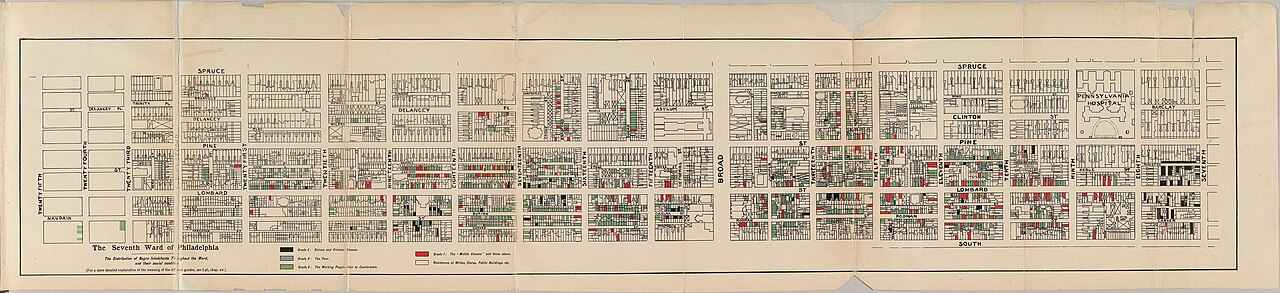
Map of African American Residents, Seventh Ward, Philadelphia
W. E. B. Du Bois · 1899
A color-coded map made by Du Bois showing where African American residents lived in Philadelphia's Seventh Ward, published in his study The Philadelphia Negro.
Du Bois created this map himself as part of his landmark sociological study The Philadelphia Negro.
About this source
What it is
This is a map created by W. E. B. Du Bois in 1899, published in his book The Philadelphia Negro. It shows the streets of the Seventh Ward of Philadelphia, with city blocks color-coded to show categories of African American residents.
Why it matters
Du Bois made this map as part of one of the first scientific sociological studies of a Black urban community in the United States. It reflects his pioneering use of data collection, surveys, and mapping to study race and poverty rather than relying on assumptions or stereotypes. The map shows Du Bois not only as a writer but as an early social scientist.
Look closer
- Why might Du Bois have chosen to use color-coded blocks rather than just writing about the neighborhood?
- What kind of information would Du Bois have needed to collect to make a map like this?
- What questions does a map like this leave unanswered about the people who lived there?
This document is part of the curated material that grounds the AI version of W.E.B. Du Bois on Humy.ai — when students ask about related events, the AI can quote it and cite it.
More W.E.B. Du Bois sources
Meet the AI W.E.B. Du Bois →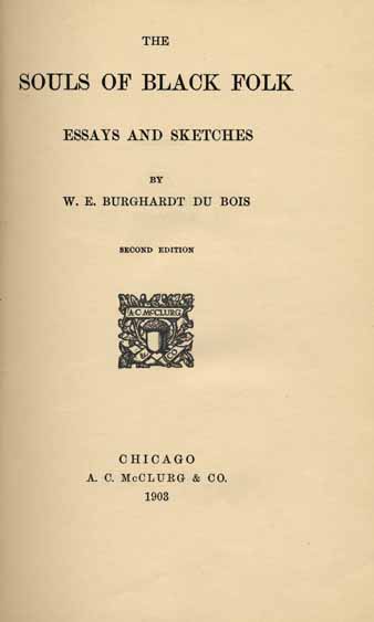 Book
Secondary source
The Souls of Black Folk
W. E. B. Du Bois · 18 April 1903
 Document
Primary source
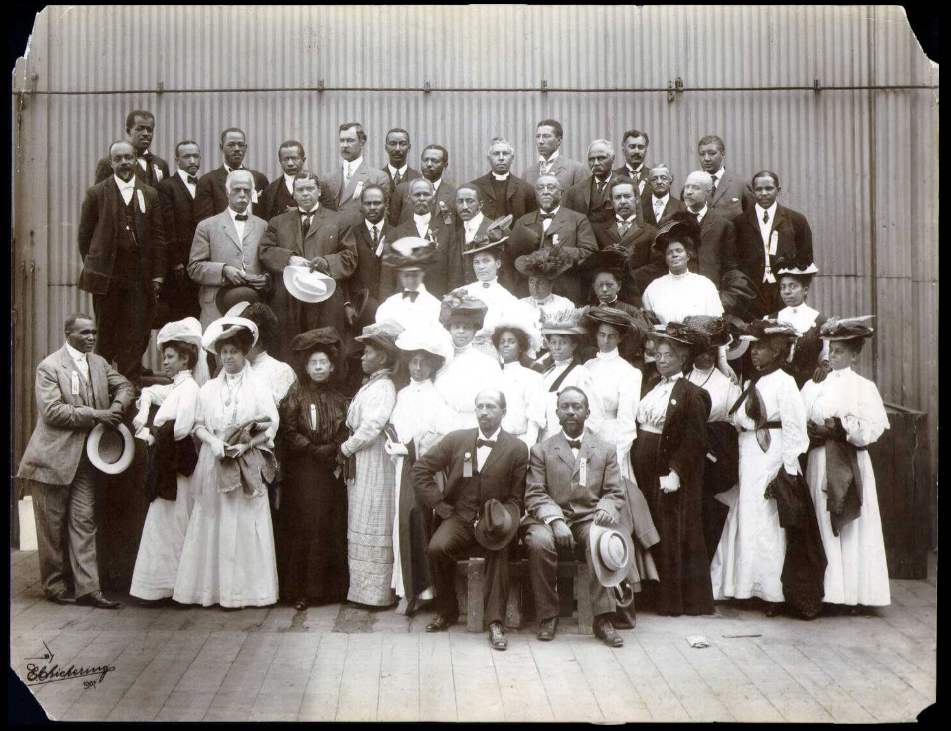
Niagara Movement
W. E. B. Du Bois · 1905
 Newspaper article
Primary source
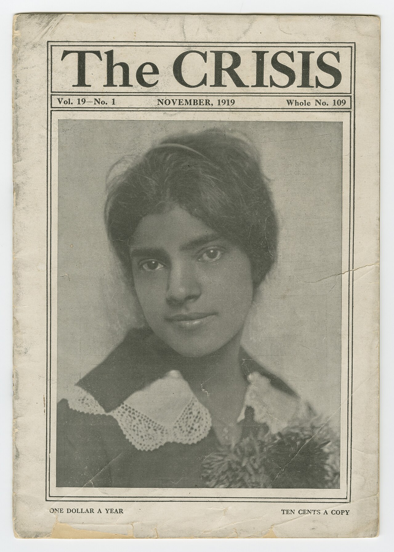
The Crisis
W. E. B. Du Bois · 1910
Primary source
The Talented Tenth
W. E. B. Du Bois · 1903
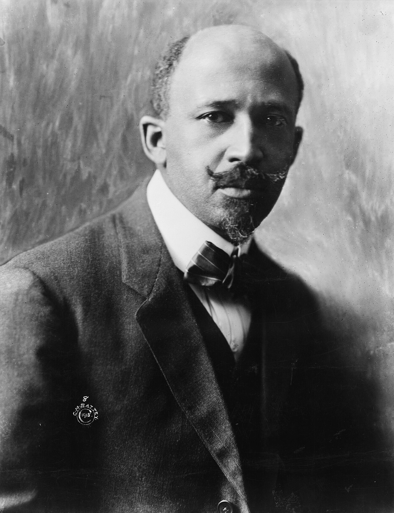 Photograph
Primary source
W. E. B. Du Bois, 1918 portrait
Cornelius Marion Battey · 1918
Ready when you are
Start chatting with W.E.B. Du Bois now.
20 messages free · No credit card · Available in 50+ languages.