


Primary sourceDocument2 January 1908
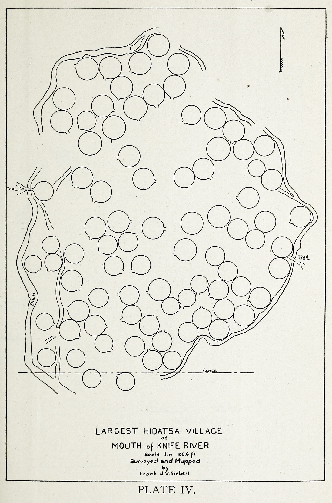
Map of Big Hidatsa Site at Knife River
Frank J. V. Kiebert · 2 January 1908
A 1908 surveyor's map of the Big Hidatsa village at Knife River, the Hidatsa community where Sacagawea lived with Charbonneau.
Maps the Hidatsa village at Knife River, where Sacagawea lived before the expedition.
About this source
What it is
This is a hand-drawn 1908 map made by surveyor Frank J. V. Kiebert of the Big Hidatsa village site at Knife River, North Dakota. It shows the circular depressions left by earth lodges, a surrounding ditch, trails, and a fence line.
Why it matters
Knife River was home to the Hidatsa community where Sacagawea lived with the fur trader Charbonneau before the Lewis and Clark expedition began. This map helps students visualize the physical layout of the village, giving context to her early life among the Hidatsa.
Look closer
- What do the circular shapes on the map represent, and what does their arrangement tell you about the size of the community?
- Why would a surveyor in 1908 be interested in mapping a village site from decades earlier?
- What is missing from a map like this — what parts of daily life does it not show?
This document is part of the curated material that grounds the AI version of Sacajawea on Humy.ai — when students ask about related events, the AI can quote it and cite it.
More Sacajawea sources
Meet the AI Sacajawea →Primary source
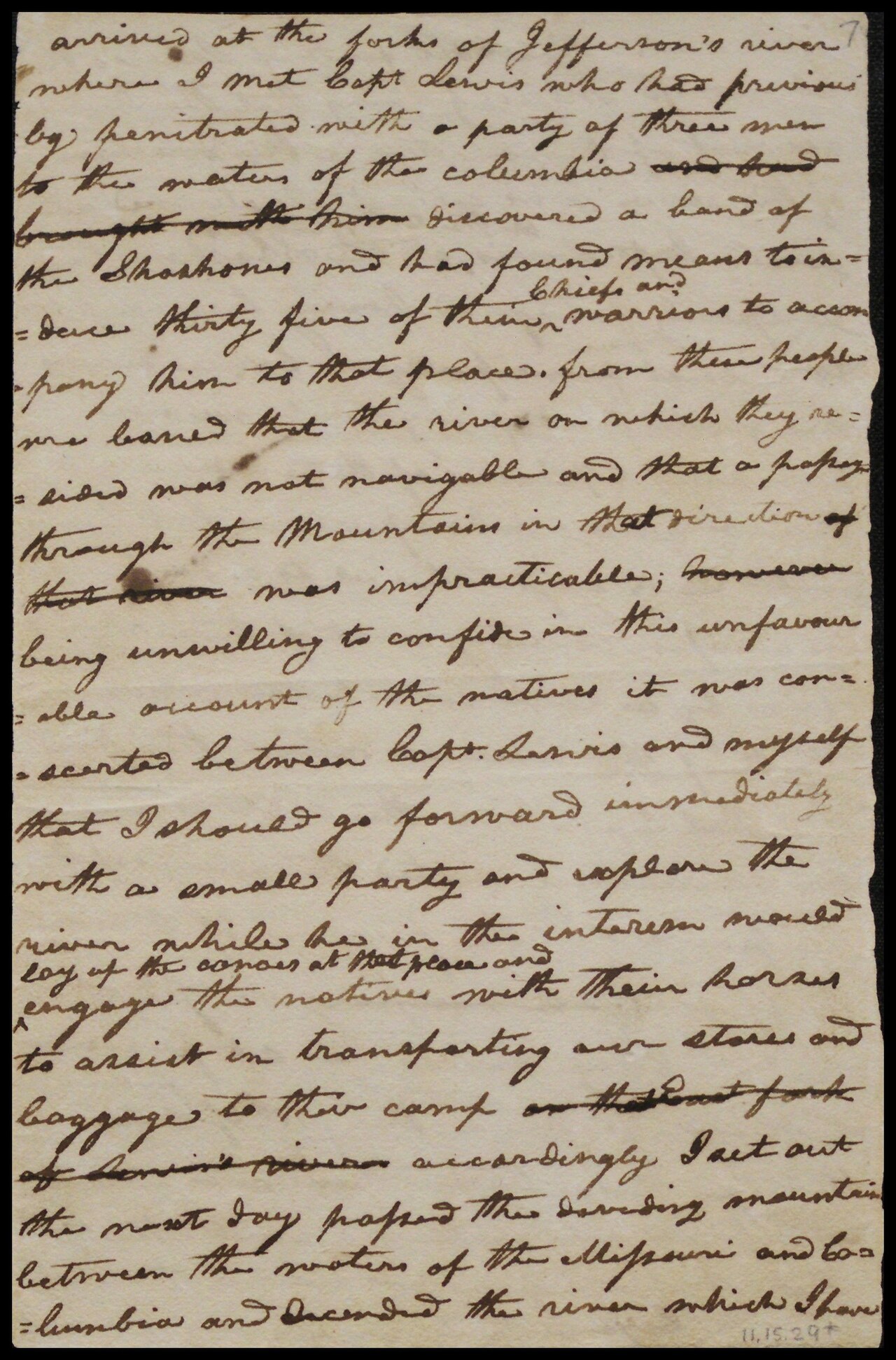
Journals of the Lewis and Clark Expedition
Meriwether Lewis and William Clark · 1804–1806
 Letter
Primary source
William Clark's Letter to Toussaint Charbonneau
William Clark · 20 August 1806
 Document
Primary source
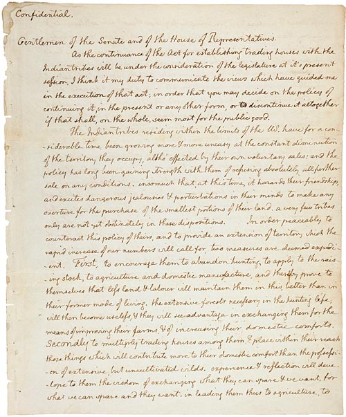
Jefferson's Secret Message to Congress Regarding the Lewis and Clark Expedition
Thomas Jefferson · 18 January 1803
Primary source
Louisiana Purchase Treaty
30 April 1803
 Artifact
Primary source
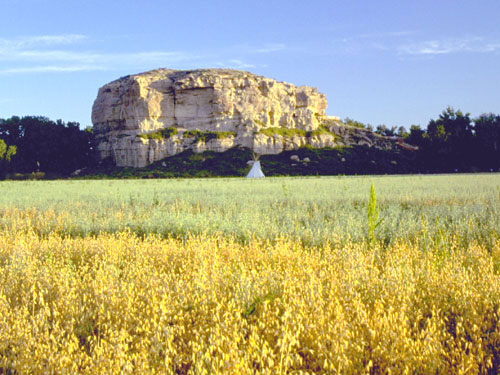
Pompeys Pillar National Monument
William Clark · carved 25 July 1806; designated monument 2001
Ready when you are
Start chatting with Sacajawea now.
20 messages free · No credit card · Available in 50+ languages.