


Secondary sourceArtifact2009
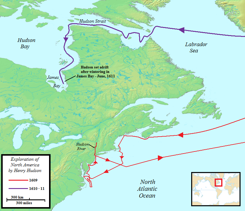
Map of Henry Hudson's two North American voyages
Jon Platek · 2009
A modern map tracing the routes of Hudson's 1609 and 1610–11 voyages along the North American coast and into Hudson Bay.
Traces the exact routes of Hudson's two voyages, including the location where he was set adrift in 1611.
About this source
What it is
This is a modern map created in 2009 by Jon Platek showing the routes of Henry Hudson's two North American voyages: the 1609 voyage down the coast to the Hudson River, shown in red, and the 1610–11 voyage through the Hudson Strait into Hudson Bay, shown in purple.
Why it matters
The map helps students visualize the geography of Hudson's exploration, including the final voyage where he was set adrift in James Bay in June 1611. It is a later reconstruction based on historical records, not a document from Hudson's own time.
Look closer
- Why might mapmakers use different colors to separate the two voyages?
- What do the routes suggest about what Hudson was searching for?
- Why is it important to know this map was made centuries after Hudson's voyages?
This artifact is part of the curated material that grounds the AI version of Henry Hudson on Humy.ai — when students ask about related events, the AI can quote it and cite it.
More Henry Hudson sources
Meet the AI Henry Hudson → Diary entry
Primary source
Robert Juet's Journal of the Third Voyage of Henry Hudson
Robert Juet · 1609 (printed 1625)
 Document
Secondary source
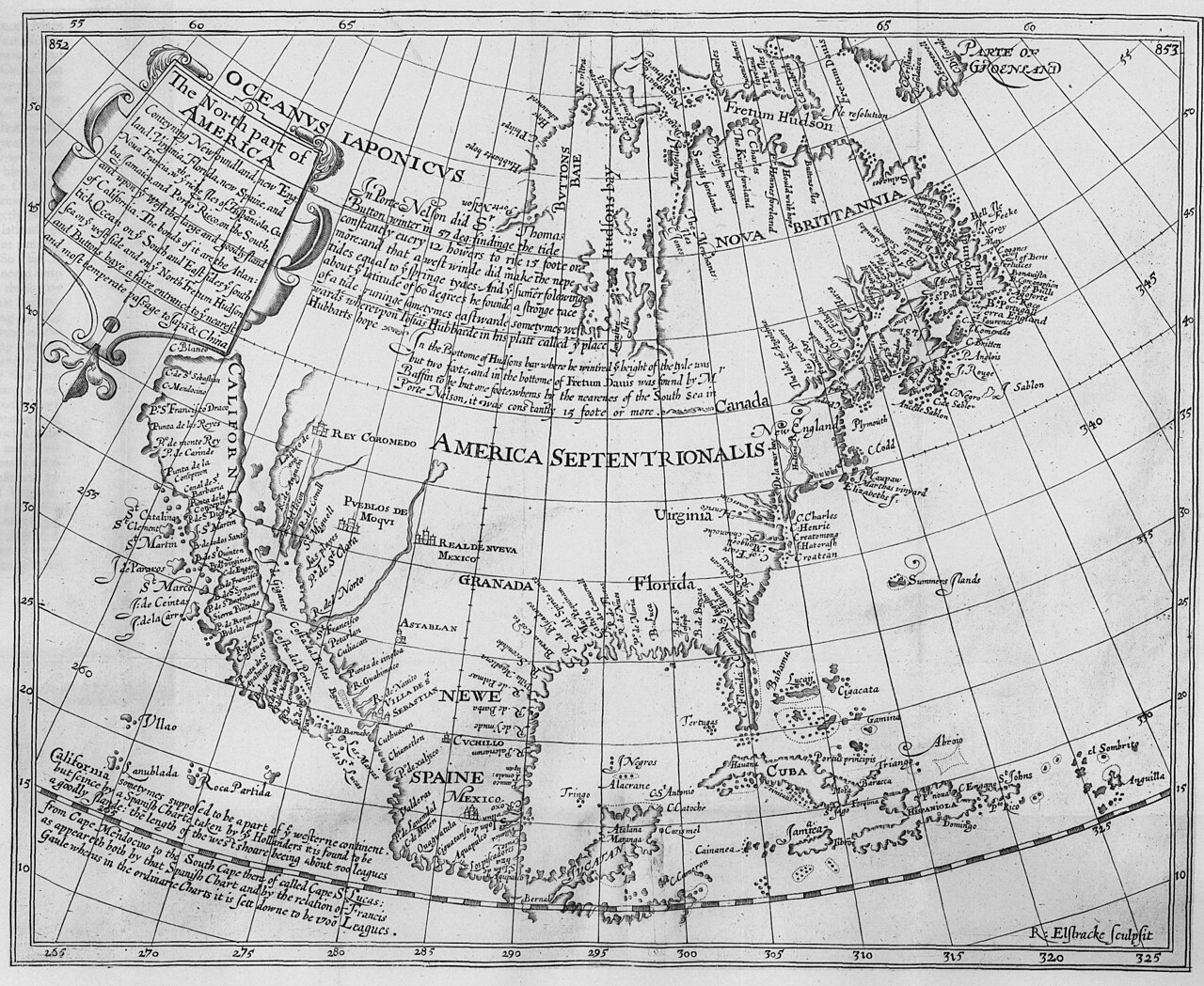
The North Part of America
Henry Briggs · 1625
Secondary source
Hakluytus Posthumus, or Purchas His Pilgrimes
Samuel Purchas · 1625
 Sculpture
Secondary source
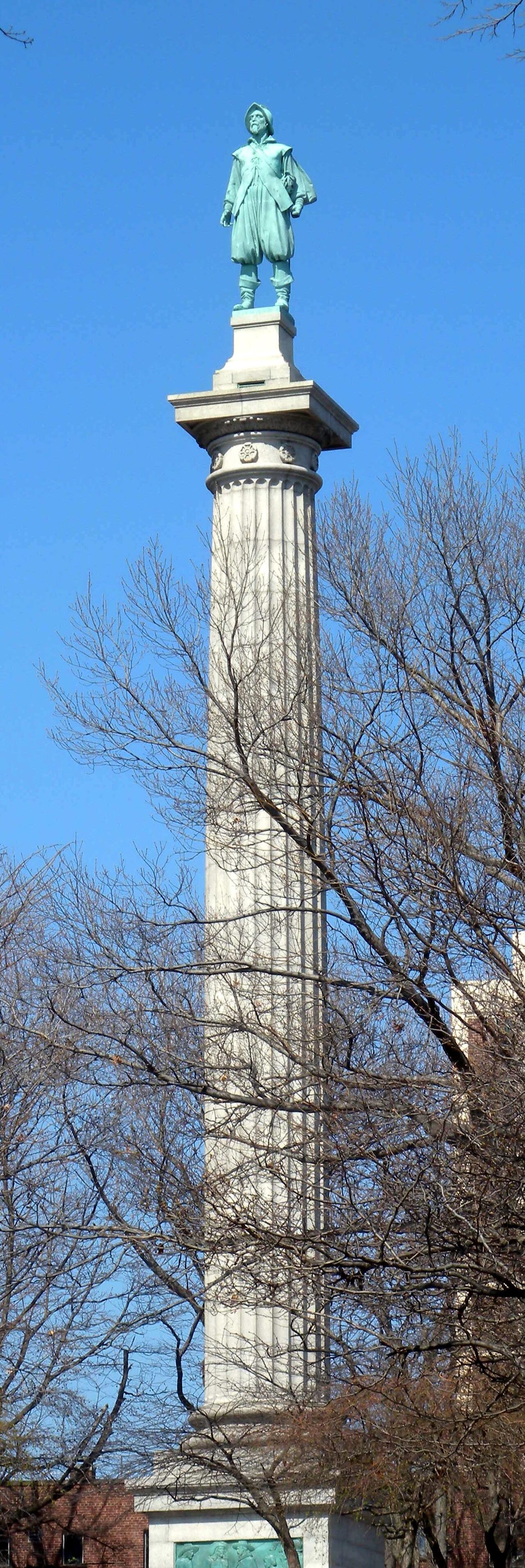
Henry Hudson Memorial (Henry Hudson Park monument)
Karl Gruppe (statue, from a model by Karl Bitter); Walter Cook (column design) · 1938
 Painting
Secondary source
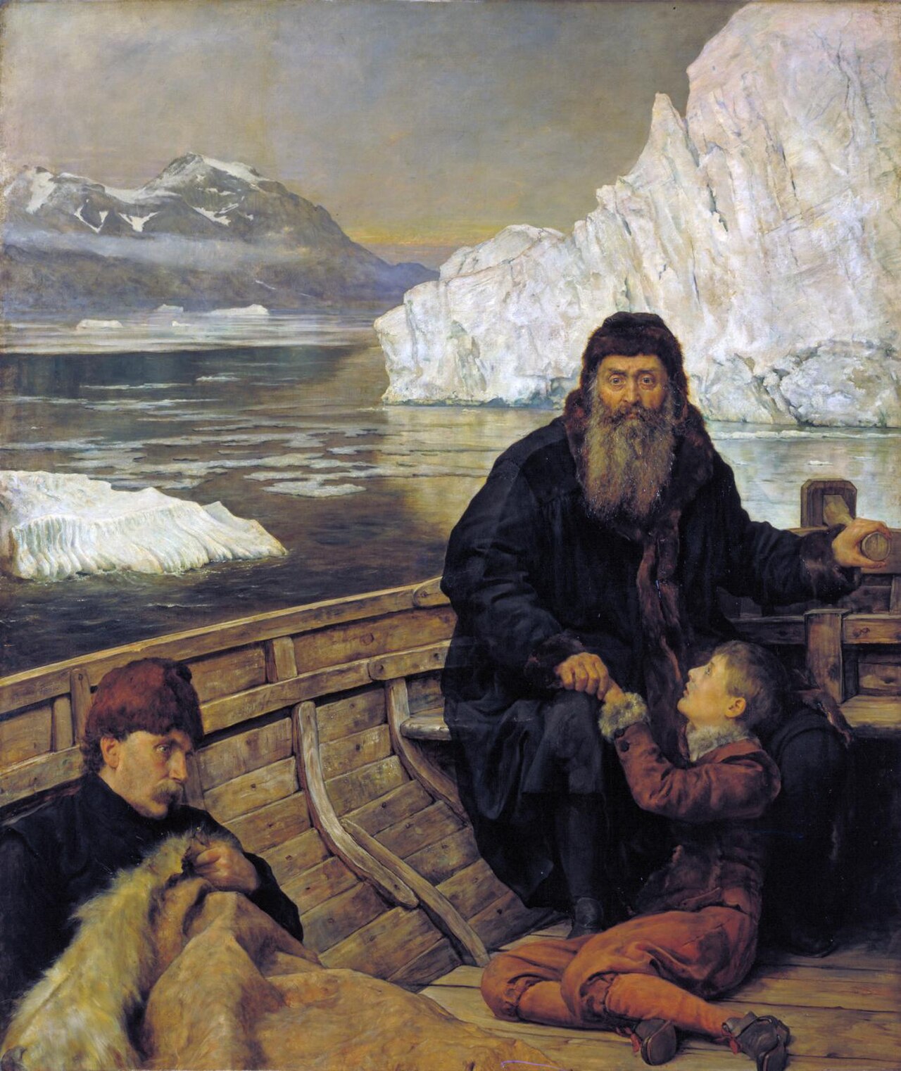
Last Voyage Of Henry Hudson
John Collier · 1881
Ready when you are
Start chatting with Henry Hudson now.
20 messages free · No credit card · Available in 50+ languages.