


Primary sourceArtifact1502
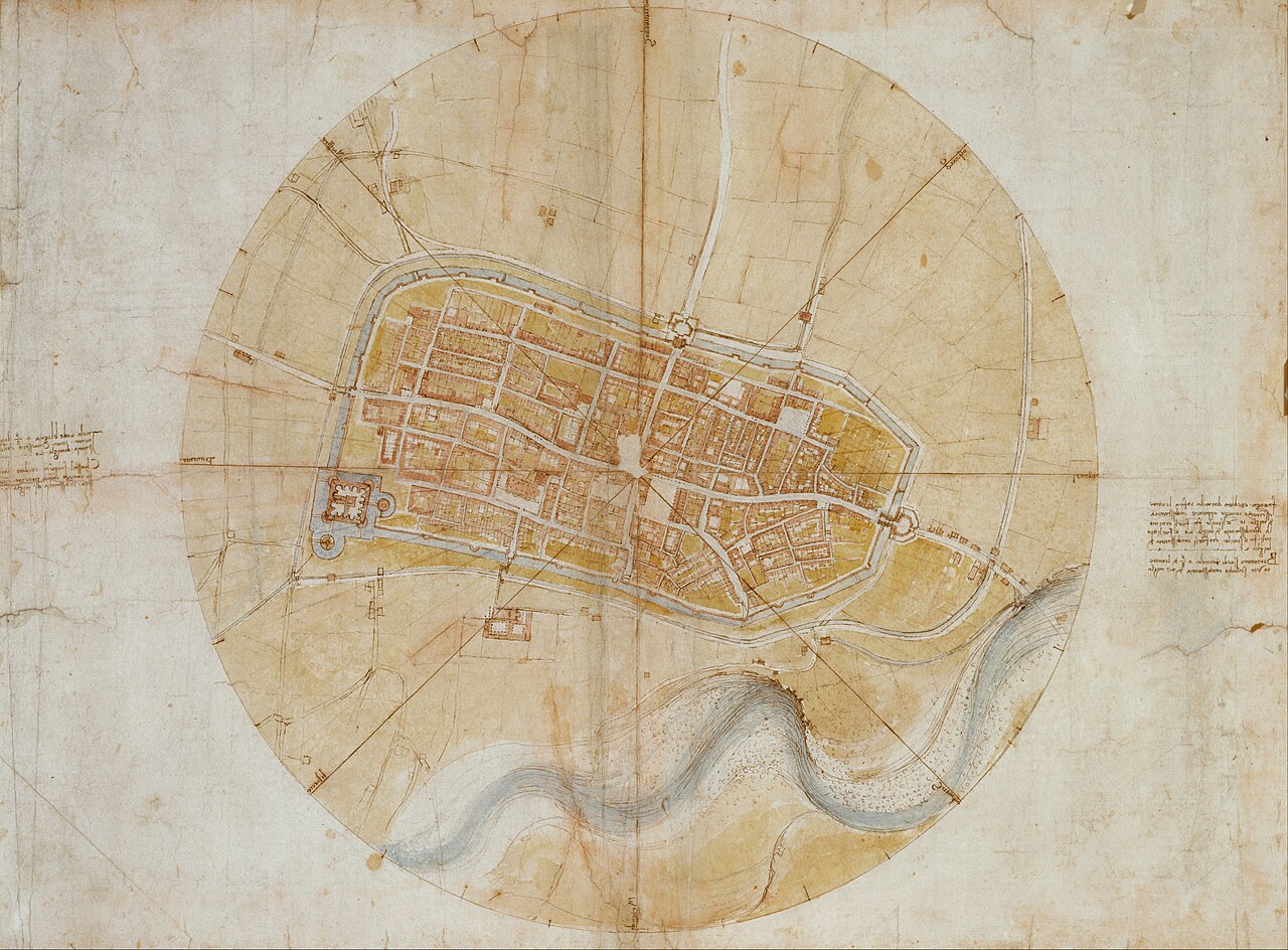
Map of Imola
Leonardo da Vinci · 1502
A precise town plan of Imola drawn by Leonardo for Cesare Borgia, showing his skill as a military engineer and mapmaker.
Shows Leonardo's work as a military engineer and cartographer for Cesare Borgia.
About this source
What it is
This is a map of the town of Imola drawn by Leonardo da Vinci in 1502. It was made for Cesare Borgia and is now held in the Royal Collection.
Why it matters
The map shows Leonardo's pioneering, highly accurate style of town planning, drawn as if seen directly from above. It reveals his work beyond painting, as a military engineer serving a powerful patron during a time of conflict in the Romagna region.
Look closer
- Why would a military leader like Cesare Borgia want such an accurate map?
- What does this map tell us about Leonardo's scientific approach to drawing?
- What skills would Leonardo have needed to make a map this precise without modern tools?
This artifact is part of the curated material that grounds the AI version of Leonardo da Vinci on Humy.ai — when students ask about related events, the AI can quote it and cite it.
More Leonardo da Vinci sources
Meet the AI Leonardo da Vinci →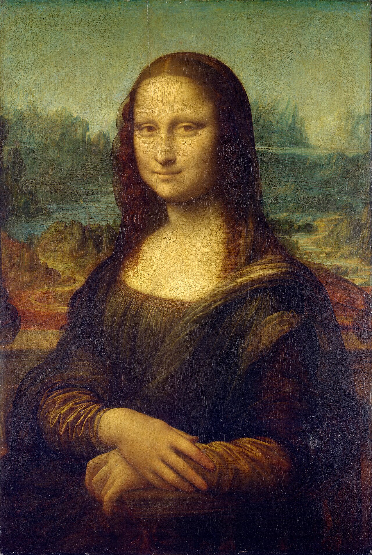 Painting
Primary source
Mona Lisa
Leonardo da Vinci · c. 1503-1519
 Painting
Secondary source
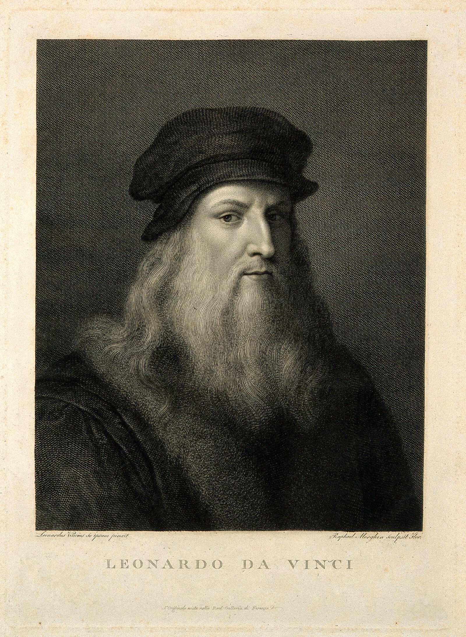
Leonardo da Vinci portrait line engraving by Raphael Morghen
R. Morghen
 Book
Primary source
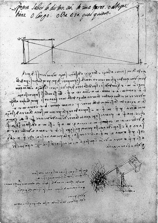
Manuscript Notebook MS B
Leonardo da Vinci
 Painting
Primary source
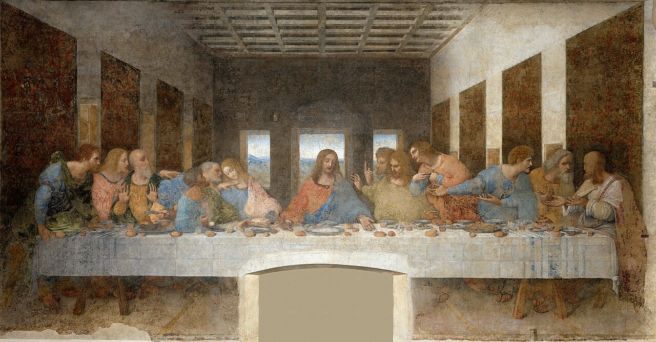
The Last Supper
Leonardo da Vinci · c. 1495-1498
 Painting
Primary source
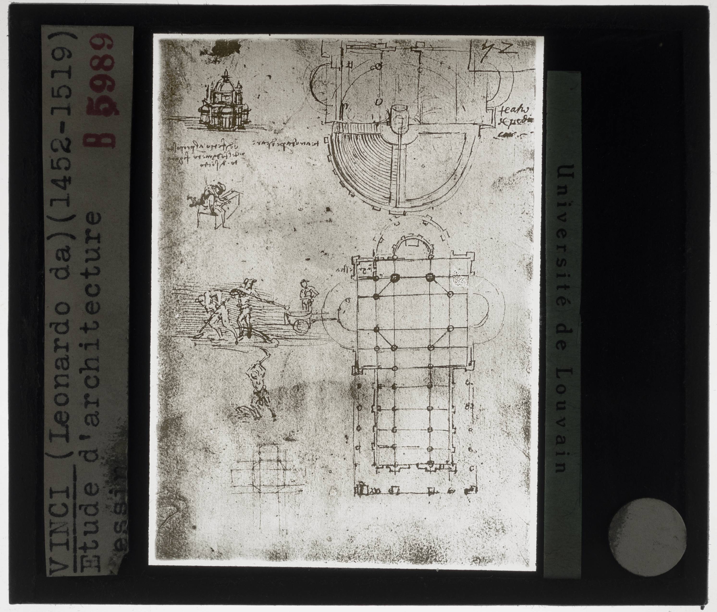
Architectural Studies
Leonardo da Vinci · c. 1500
Ready when you are
Start chatting with Leonardo da Vinci now.
20 messages free · No credit card · Available in 50+ languages.