


Secondary sourceDocument1889
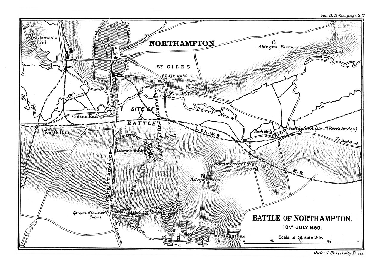
Map of the Battle of Northampton
James Henry Ramsay · 1889
A black-and-white engraved map of the 1460 Battle of Northampton, where Henry VI was captured, made by James Henry Ramsay in 1889.
A later map of the battle where Henry VI was captured, showing where he stood as the Yorkists advanced.
About this source
What it is
This is an engraved map titled 'Battle of Northampton, 10th July 1460'. It was made by James Henry Ramsay (1859-1925) and published in 1889 by Oxford University Press. The map shows Northampton town, the River Nene, and places such as Delapre Abbey, Delapre Farm, Hardingstone and Queen Eleanor's Cross. It marks the Yorkist advance and Henry's position, and it has a scale in statute miles.
Why it matters
The battle of 1460 was a turning point in the Wars of the Roses. Henry VI was captured there by the Yorkists, who were led by the Duke of York and his allies. The map is a modern study of the battle, not a record made at the time, so it shows how historians later reconstructed the fighting from written sources and the landscape.
Look closer
- Where is Henry's position on the map, and how does it compare with the Yorkist advance?
- What do the landmarks tell you about how the battle was fought?
- What might a map made in 1889 show or leave out about the battle?
This document is part of the curated material that grounds the AI version of Henry VI on Humy.ai — when students ask about related events, the AI can quote it and cite it.
More Henry VI sources
Meet the AI Henry VI →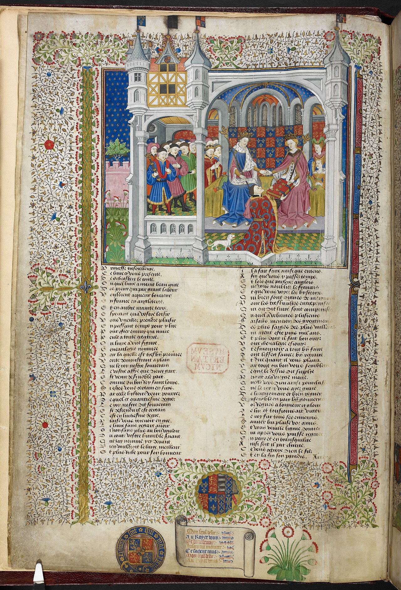 Book
Primary source
Talbot Shrewsbury Book
Master of the Munich Golden Legend · 1444/1445
 Painting
Secondary source
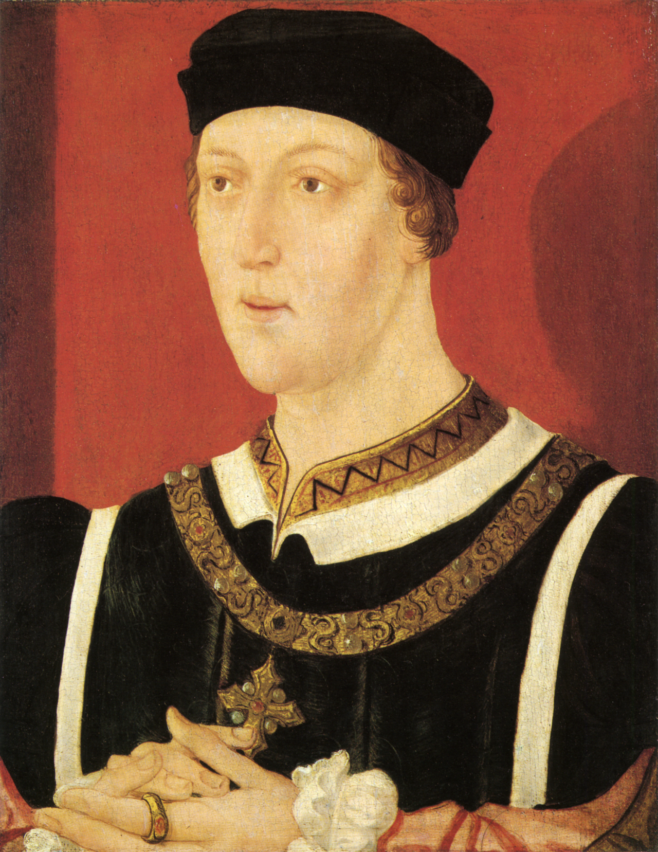
King Henry VI
Unknown English artist · c. 1540
 Artifact
Primary source
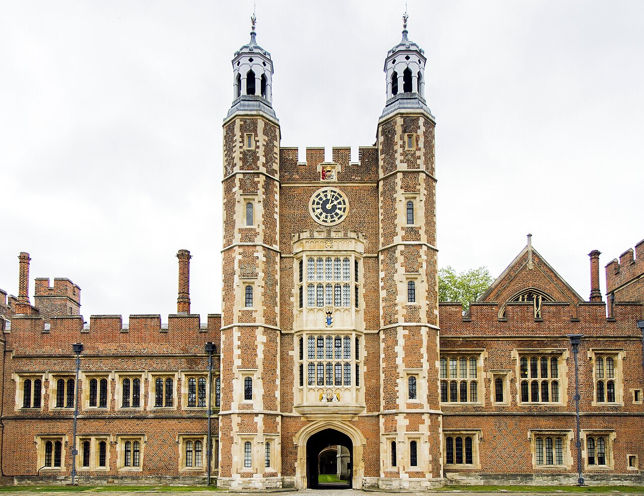
Eton College
1440
 Artifact
Primary source
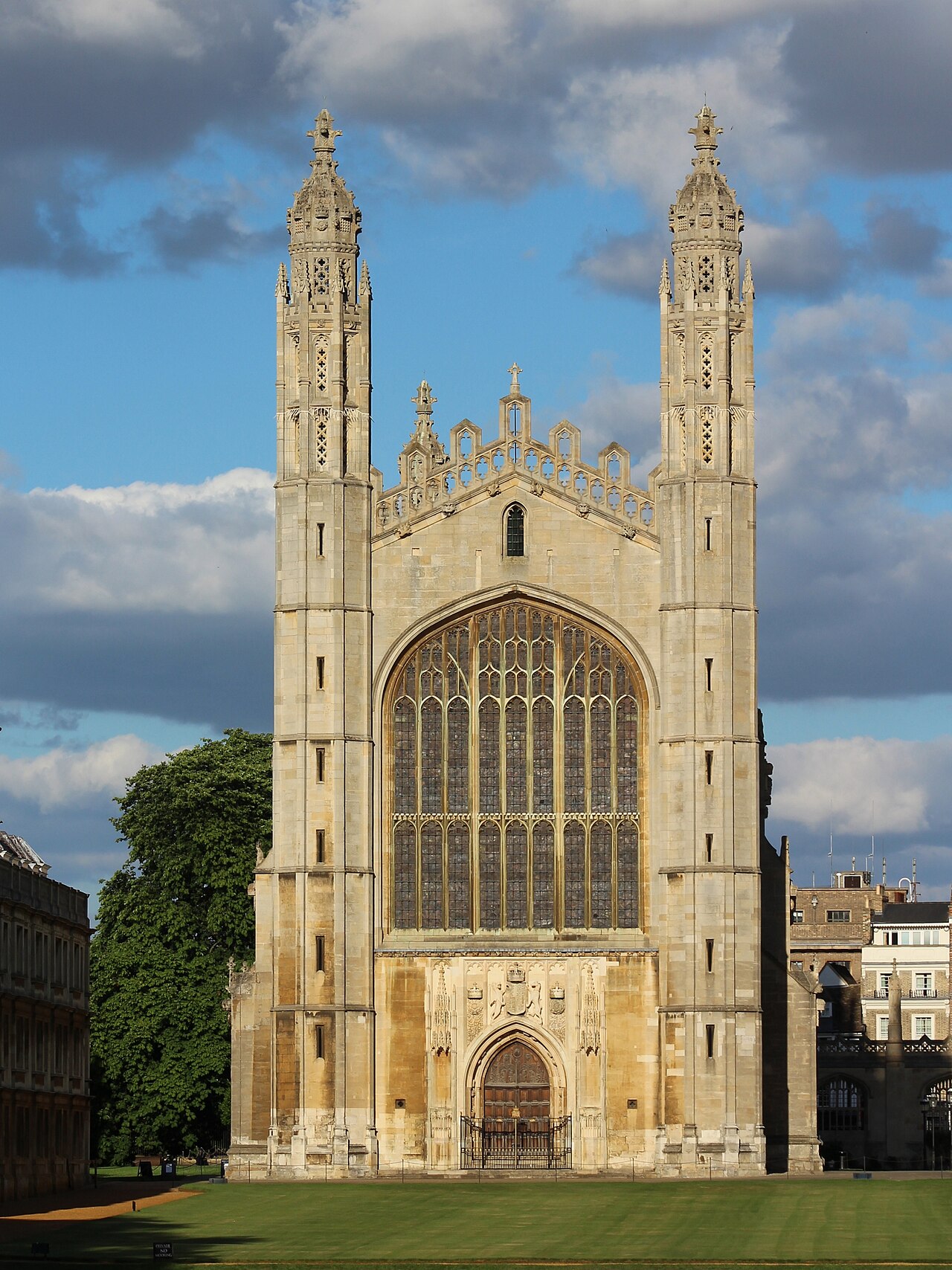
King's College Chapel
1446–1515
 Book
Secondary source
The Historie of the Arrivall of Edward IV
Unknown (servant of Edward IV) · c. 1500
Ready when you are
Start chatting with Henry VI now.
20 messages free · No credit card · Available in 50+ languages.