


Primary sourceDocument1896
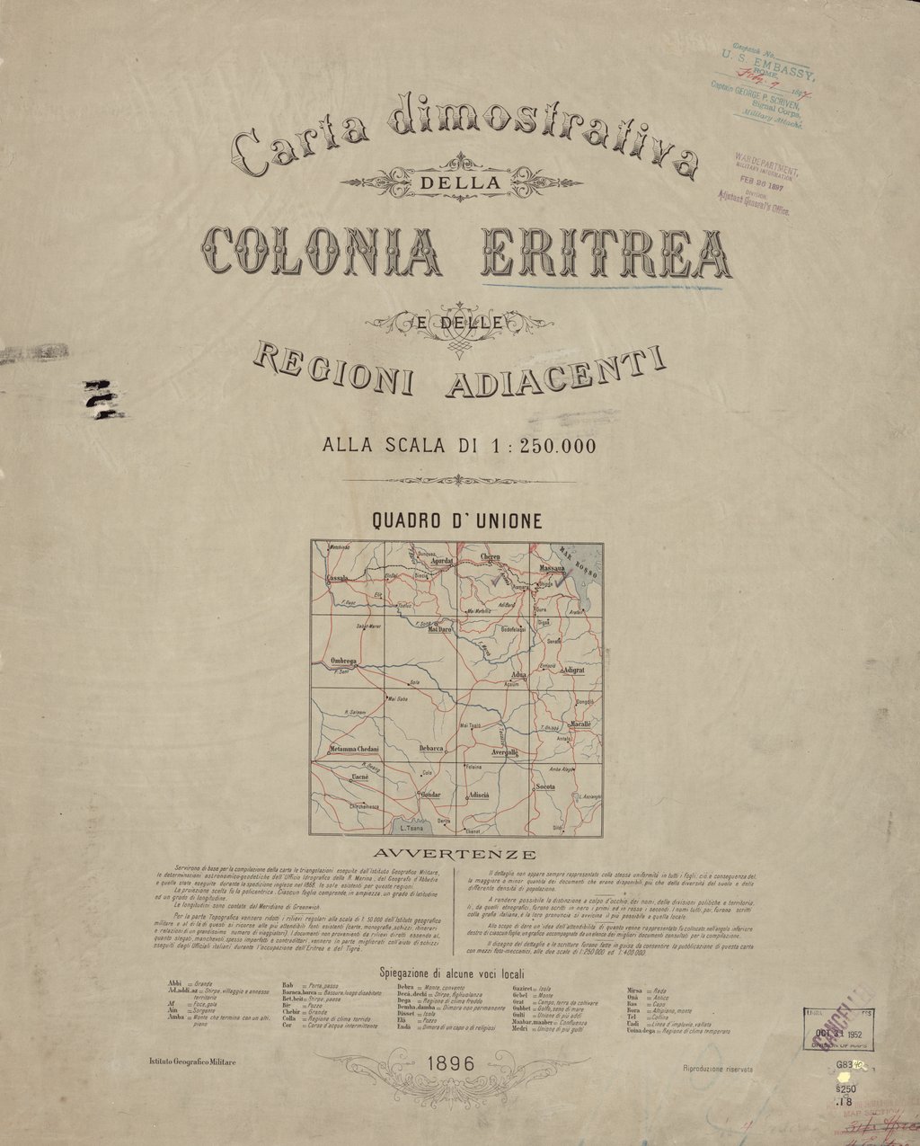
Map of the Colony of Eritrea and Adjacent Regions
Institute for Military Geography (Florence) · 1896
An 1896 Italian military map of Eritrea and nearby lands, made just after Italy and Emperor Menelik II signed the disputed Treaty of Wuchale.
Maps the colonial territory tied to the treaty Menelik II signed, whose disputed wording helped trigger the war Ethiopia won.
About this source
What it is
This is an 1896 topographical map titled Carta dimostrativa della Colonia Eritrea e delle regioni adiacenti, produced by Italy's Institute for Military Geography in Florence. It covers present-day Eritrea and parts of eastern Sudan and northern Ethiopia, at a scale of 1:250,000.
Why it matters
Italy had taken coastal Eritrea in 1885, and the 1889 Treaty of Wuchale, signed with Emperor Menelik II of Ethiopia, gave Italy control over the territory. Disputes over that treaty's wording helped lead to war, including the Battle of Adwa in 1896 where Menelik's forces defeated Italy. This map shows how closely European colonial mapping followed political claims on African land.
Look closer
- Who made this map, and for what purpose?
- What does the detailed surveying tell you about Italy's colonial ambitions?
- What is missing from a map like this — whose knowledge of the land is left out?
This document is part of the curated material that grounds the AI version of Emperor Menelik II on Humy.ai — when students ask about related events, the AI can quote it and cite it.
More Emperor Menelik II sources
Meet the AI Emperor Menelik II →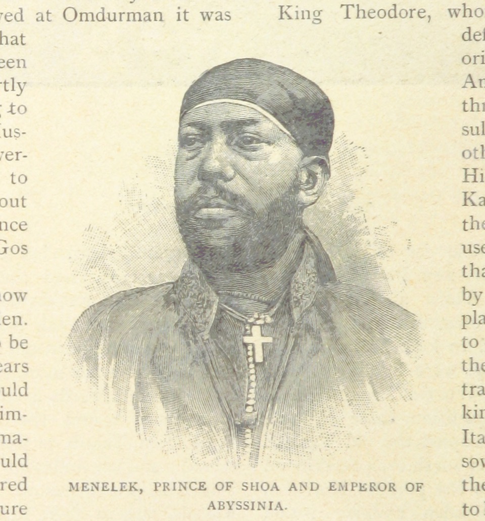 Painting
Primary source
Menelek II illustration from The Wars of the 'Nineties
1899
 Photograph
Primary source
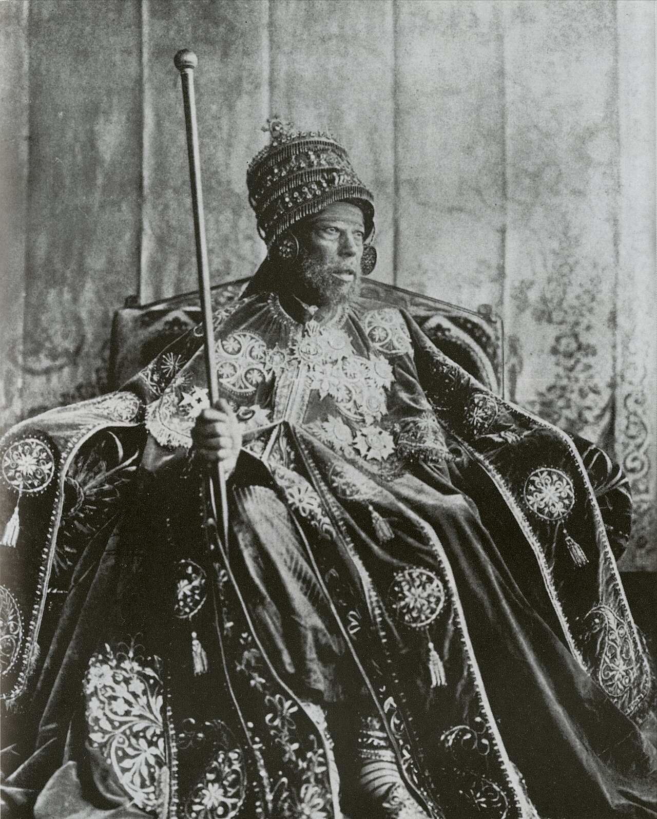
Menelik II in Coronation Garb
 Newspaper article
Primary source
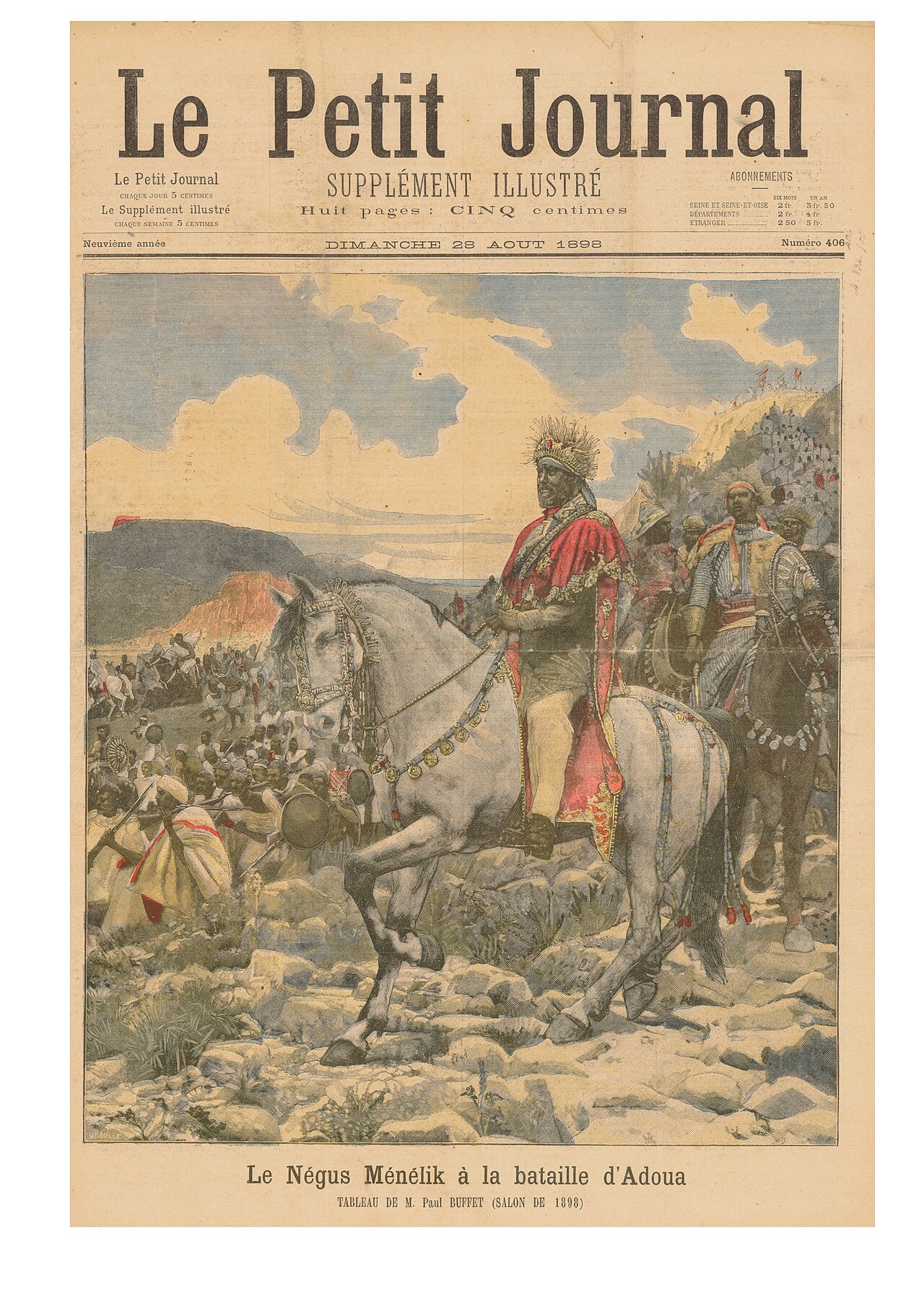
Menelik - Adoua
F. Méaulle · 28 August 1898
 Photograph
Primary source
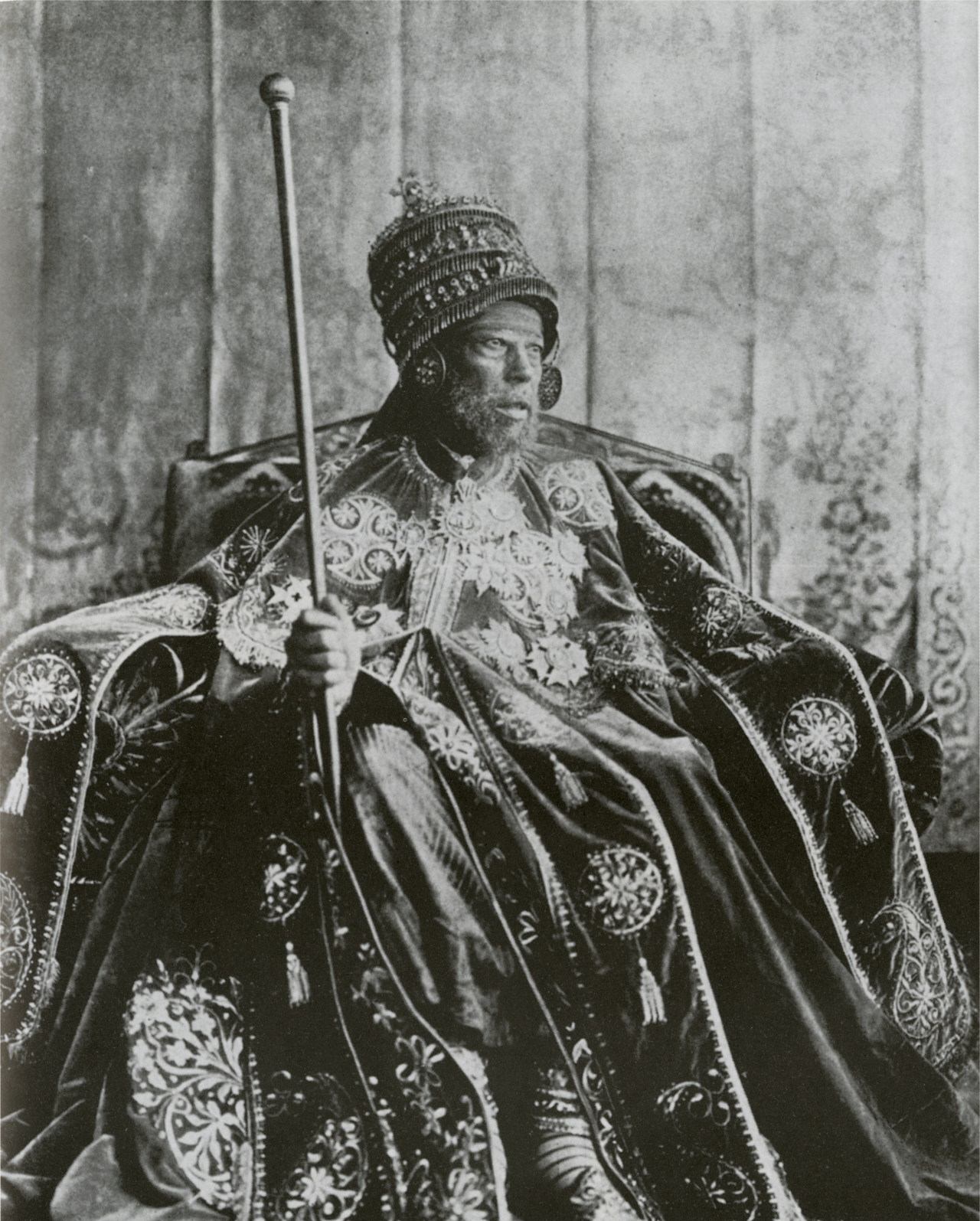
Emperor Menelik II Enthroned
 Photograph
Primary source
Menelik II and Empress Taytu Betul
Ready when you are
Start chatting with Emperor Menelik II now.
20 messages free · No credit card · Available in 50+ languages.