


Primary sourceDocument1701
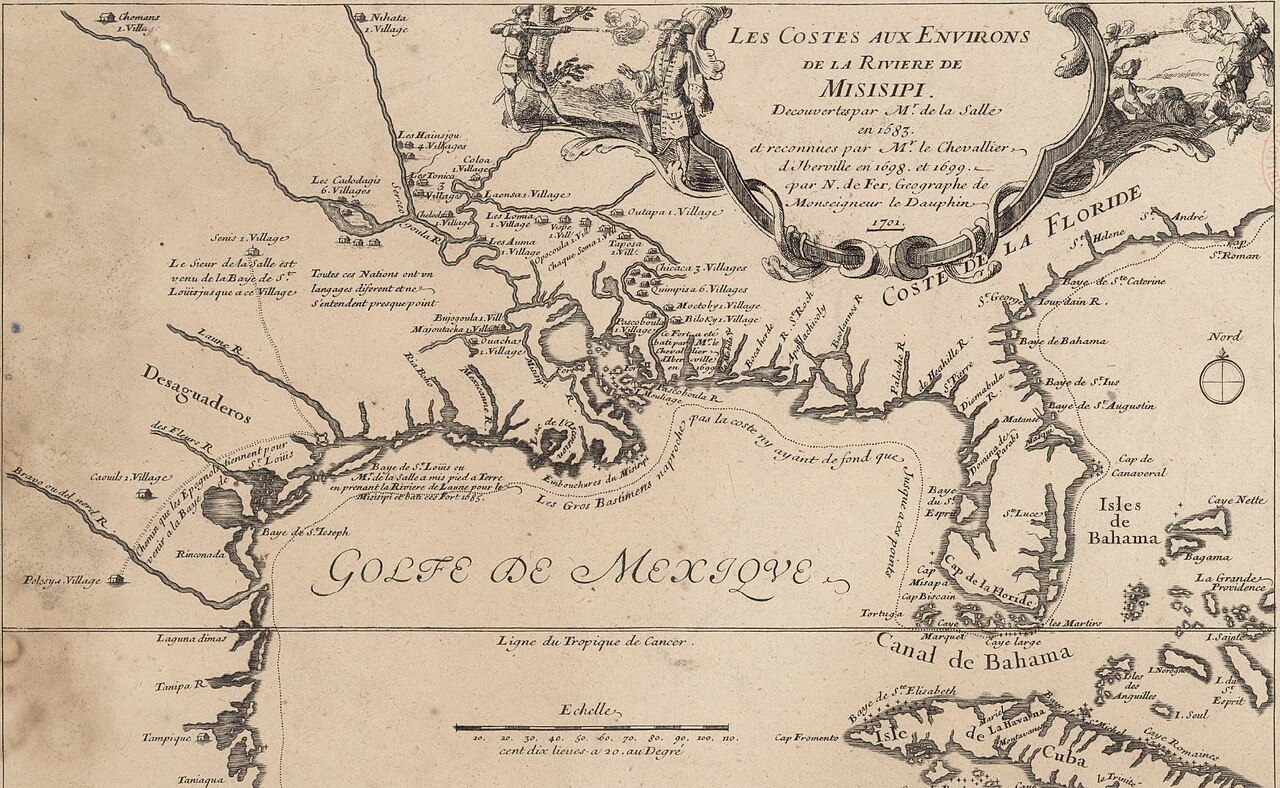
Map of the Gulf Coast and Mississippi Delta
Nicolas de Fer · 1701
A 1701 French engraved map tracing La Salle's 1683 and 1685 expeditions along the Gulf of Mexico and Mississippi delta.
Maps the Mississippi region Jolliet had explored earlier, placing his journey within later French exploration.
About this source
What it is
This is an engraved French map made in 1701 by Nicolas de Fer, showing the coastline of the Gulf of Mexico, Florida, the Mississippi River delta and nearby Native villages. It includes a decorative cartouche, a compass rose and a scale bar.
Why it matters
The map chronicles the exploratory missions of René-Robert Cavelier de La Salle in 1683 and 1685, as well as later voyages by Pierre Le Moyne d'Iberville. It shows how French cartographers used explorers' reports to record and claim new territory, shaping European knowledge of North America.
Look closer
- What details does the mapmaker include about the land and its people?
- Why might a mapmaker in France, who never saw the coast himself, decide to include decorative figures and a dated inscription?
- What is missing or inaccurate about the coastline compared to a modern map?
This document is part of the curated material that grounds the AI version of Louis Jolliet, Pierre Le Moyne d'Iberville and Robert de La Salle on Humy.ai — when students ask about related events, the AI can quote it and cite it.
More Louis Jolliet sources
Meet the AI Louis Jolliet →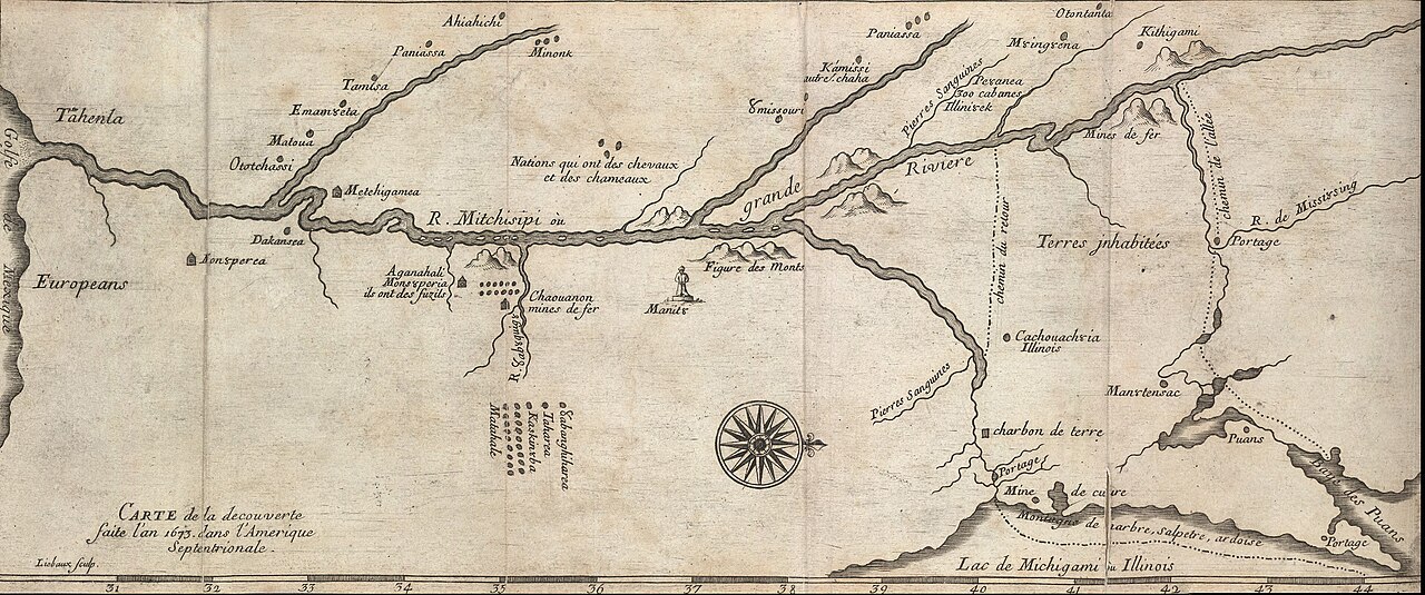 Document
Secondary source
Map of the Mississippi from the Marquette and Jolliet Expedition
Melchisédech Thévenot · c. 1681
 Book
Secondary source
Louis Jolliet, découvreur du Mississippi: étude biographique
Ernest Gagnon · 1913
 Document
Primary source
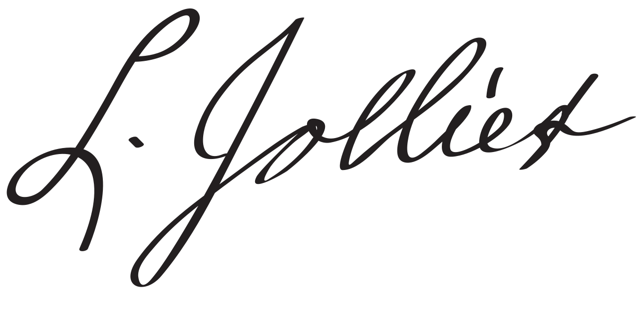
Signature of Louis Jolliet
Louis Jolliet
 Book
Primary source
Recueil de voyages de Mr Thévenot
Melchisédech Thévenot · 1681
Secondary source
Early Narratives of the Northwest, 1634-1699
Louise Phelps Kellogg · 1917
Ready when you are
Start chatting with Louis Jolliet now.
20 messages free · No credit card · Available in 50+ languages.