


Primary sourceDocumentNovember 1918
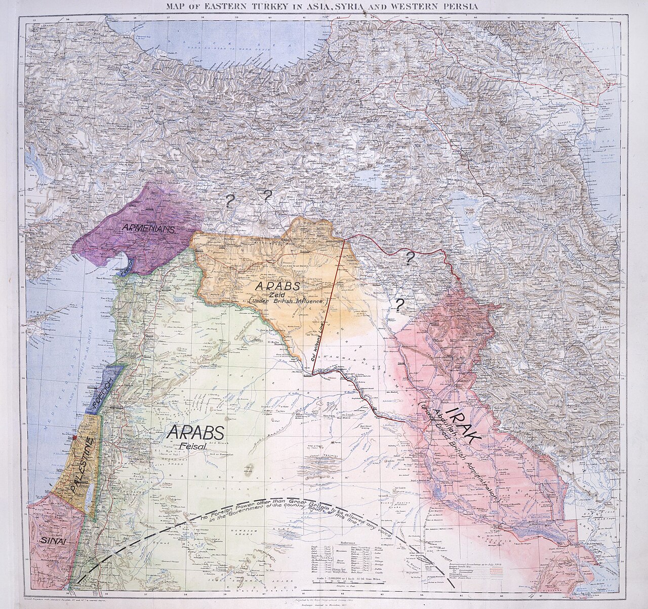
Map of the Middle East presented to the Eastern Committee
T. E. Lawrence · November 1918
Lawrence's 1918 hand-drawn proposal for post-war Middle Eastern borders based on ethnic and tribal lines.
Lawrence's own proposed map, showing his attempt to shape post-war borders in favor of Arab self-rule.
About this source
What it is
This is a colored map drawn by T. E. Lawrence and presented to the Eastern Committee of the British War Cabinet in November 1918. It marks regions such as Armenian, Arab (under Zeid), and Arab (under Faisal) areas, with some borders left uncertain.
Why it matters
The map shows Lawrence trying to influence British policy toward a settlement based on Arab self-rule rather than the secret Anglo-French division agreed earlier in the war. It reveals his continuing advocacy for the Arab cause after the fighting ended.
Look closer
- Why are some borders marked with question marks?
- How does this map differ from the Sykes–Picot map?
- What might Lawrence have hoped the Committee would do with this proposal?
This document is part of the curated material that grounds the AI version of T. E. Lawrence on Humy.ai — when students ask about related events, the AI can quote it and cite it.
More T. E. Lawrence sources
Browse all 99 → Book
Primary source
Seven Pillars of Wisdom
T. E. Lawrence · 1922 (completed); published 1926
 Document
Primary source
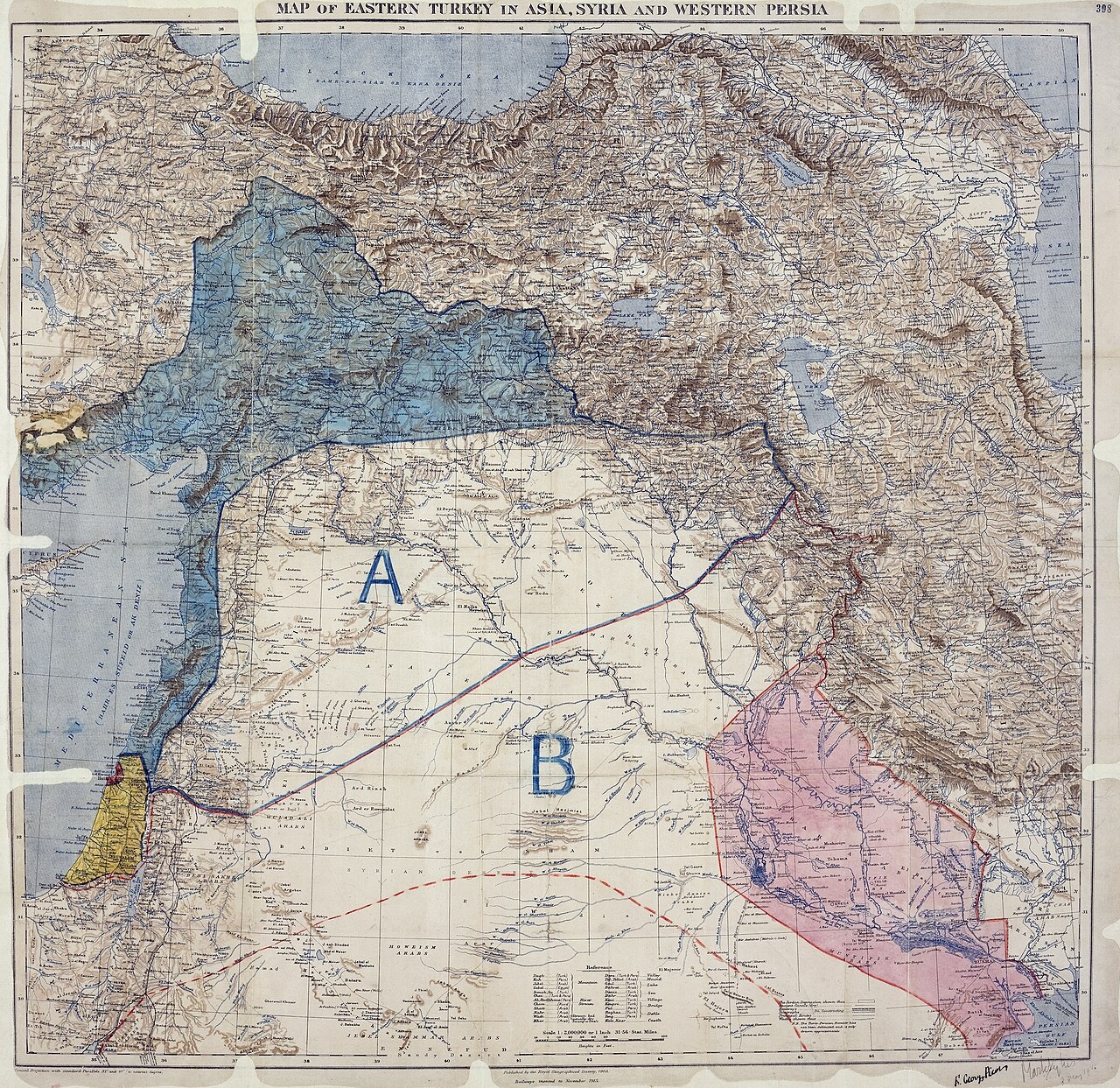
Sykes–Picot Agreement
Mark Sykes and François Georges-Picot · 1916
 Letter
Primary source
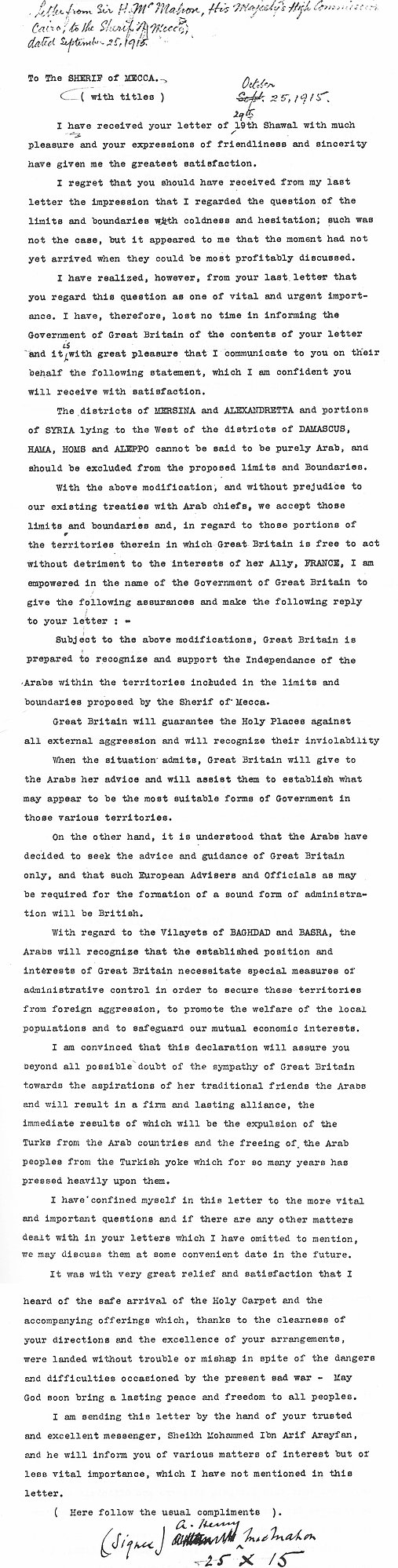
McMahon–Hussein Correspondence
Henry McMahon · 1915-1916
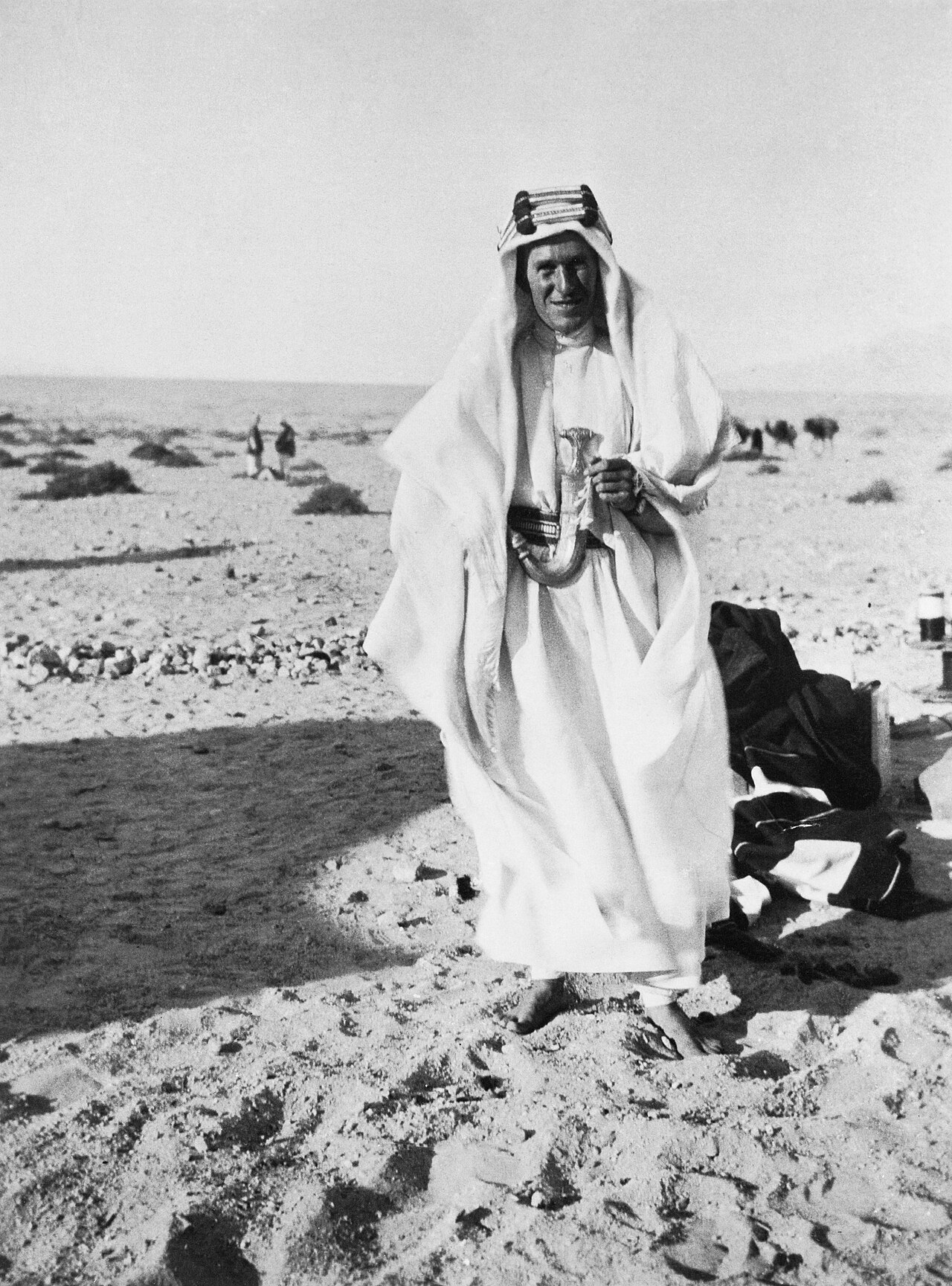 Photograph
Primary source
T E Lawrence 1888-1935
Goslett Raymond (Capt) · 1888-1935 (Lawrence's lifespan; photograph undated within)
Free account
Read every T. E. Lawrence source
Sign up free →
Ready when you are
Start chatting with T. E. Lawrence now.
20 messages free · No credit card · Available in 50+ languages.