


Primary sourceDocument1801
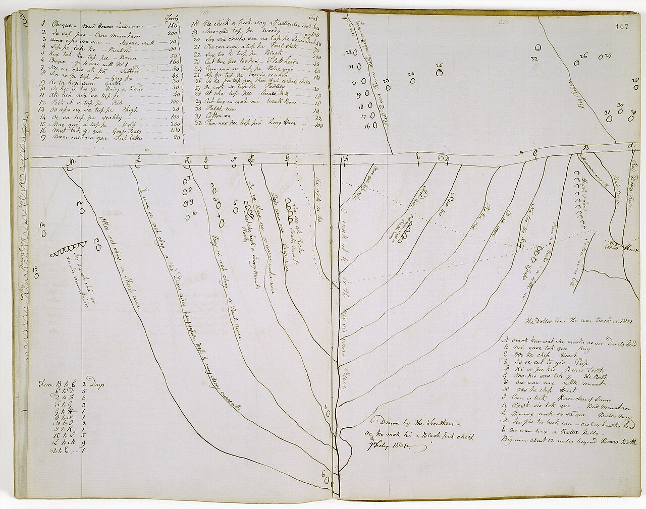
Map of the Missouri River and Rockies by Peter Fidler
Peter Fidler · 1801
An 1801 map of the Missouri River and Rocky Mountains, the river world Sacagawea later guided Lewis and Clark through.
Depicts the river and mountain region Sacagawea later guided Lewis and Clark through.
About this source
What it is
A manuscript map made in 1801 by Peter Fidler, an employee of the Hudson's Bay Company, showing the Missouri River, its tributaries, and the Rocky Mountains. Fidler based it on a map drawn for him by Blackfoot Chief Aka-Omahkayii.
Why it matters
This map shows how European traders depended on Indigenous knowledge of geography. The region it depicts is the same river and mountain country Sacagawea would travel through a few years later as guide and interpreter for Lewis and Clark. It reveals how much mapping of this area relied on information from Native peoples like Aka-Omahkayii.
Look closer
- Why would a map made by a trading company rely on a Blackfoot chief's knowledge?
- What might be missing or inaccurate about a map copied secondhand?
- How does this map compare to how Sacagawea herself might have understood the land?
This document is part of the curated material that grounds the AI version of Sacajawea on Humy.ai — when students ask about related events, the AI can quote it and cite it.
More Sacajawea sources
Meet the AI Sacajawea →Primary source
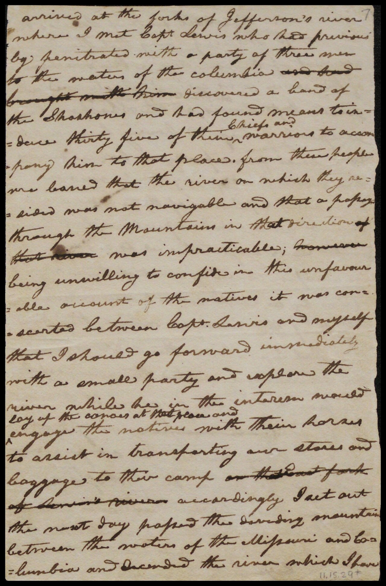
Journals of the Lewis and Clark Expedition
Meriwether Lewis and William Clark · 1804–1806
 Letter
Primary source
William Clark's Letter to Toussaint Charbonneau
William Clark · 20 August 1806
 Document
Primary source
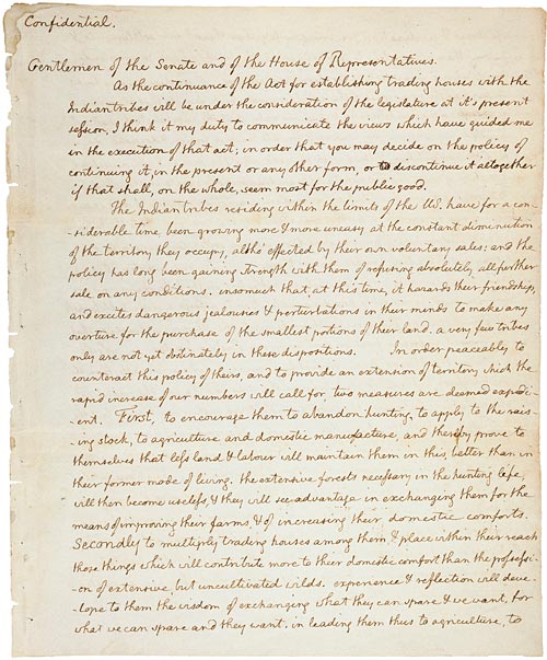
Jefferson's Secret Message to Congress Regarding the Lewis and Clark Expedition
Thomas Jefferson · 18 January 1803
Primary source
Louisiana Purchase Treaty
30 April 1803
 Artifact
Primary source
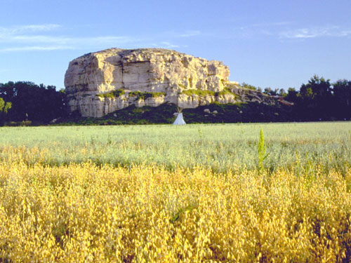
Pompeys Pillar National Monument
William Clark · carved 25 July 1806; designated monument 2001
Ready when you are
Start chatting with Sacajawea now.
20 messages free · No credit card · Available in 50+ languages.