


Secondary sourceDocument
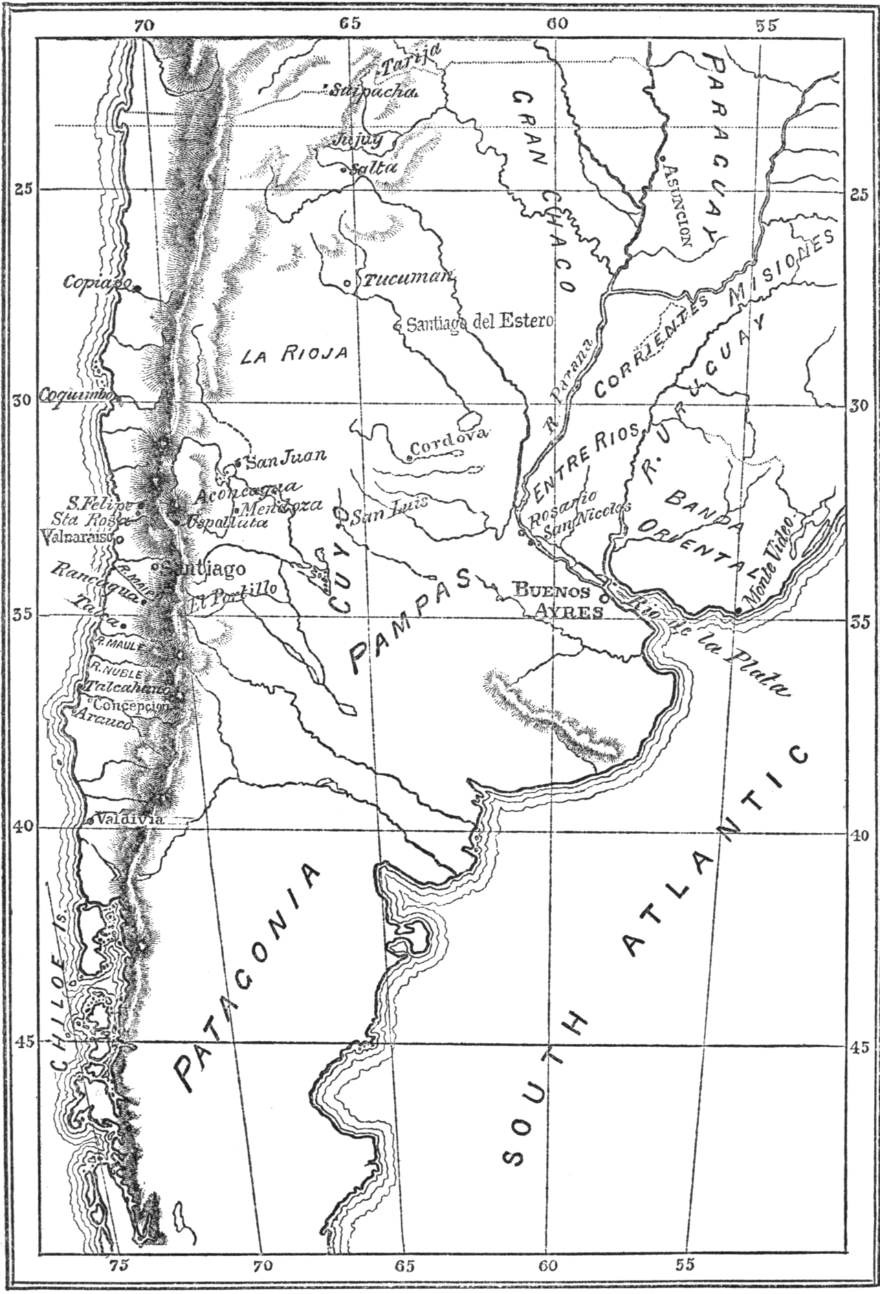
Map of the Viceroyalty of La Plata and the Kingdom of Chile
Bartolomé Mitre
A map from Bartolomé Mitre's history of San Martín, showing the geography of the Río de la Plata and Chilean campaigns.
Maps the regions of San Martín's campaigns, made to accompany Mitre's history of his life.
About this source
What it is
This engraved black-and-white map comes from a history of José de San Martín written by Bartolomé Mitre. It shows southern South America, including the Andes, Chile's coast, Cuyo, the Pampas, the Río de la Plata region, Buenos Aires, Paraguay and Patagonia, with place names and coordinates marked.
Why it matters
Mitre, a historian and later president of Argentina, used this map to help readers follow the geography of San Martín's military campaigns in the Río de la Plata region and Chile, including the route of the crossing of the Andes. Maps like this show how historians organize and explain complex military movements for readers.
Look closer
- Why would a historian include a map alongside a written account of a military campaign?
- What geographic challenges does the map suggest San Martín's army faced crossing from Argentina to Chile?
- What is missing from a map like this that a written account might explain better?
This document is part of the curated material that grounds the AI version of José de San Martín on Humy.ai — when students ask about related events, the AI can quote it and cite it.
More José de San Martín sources
Browse all 69 →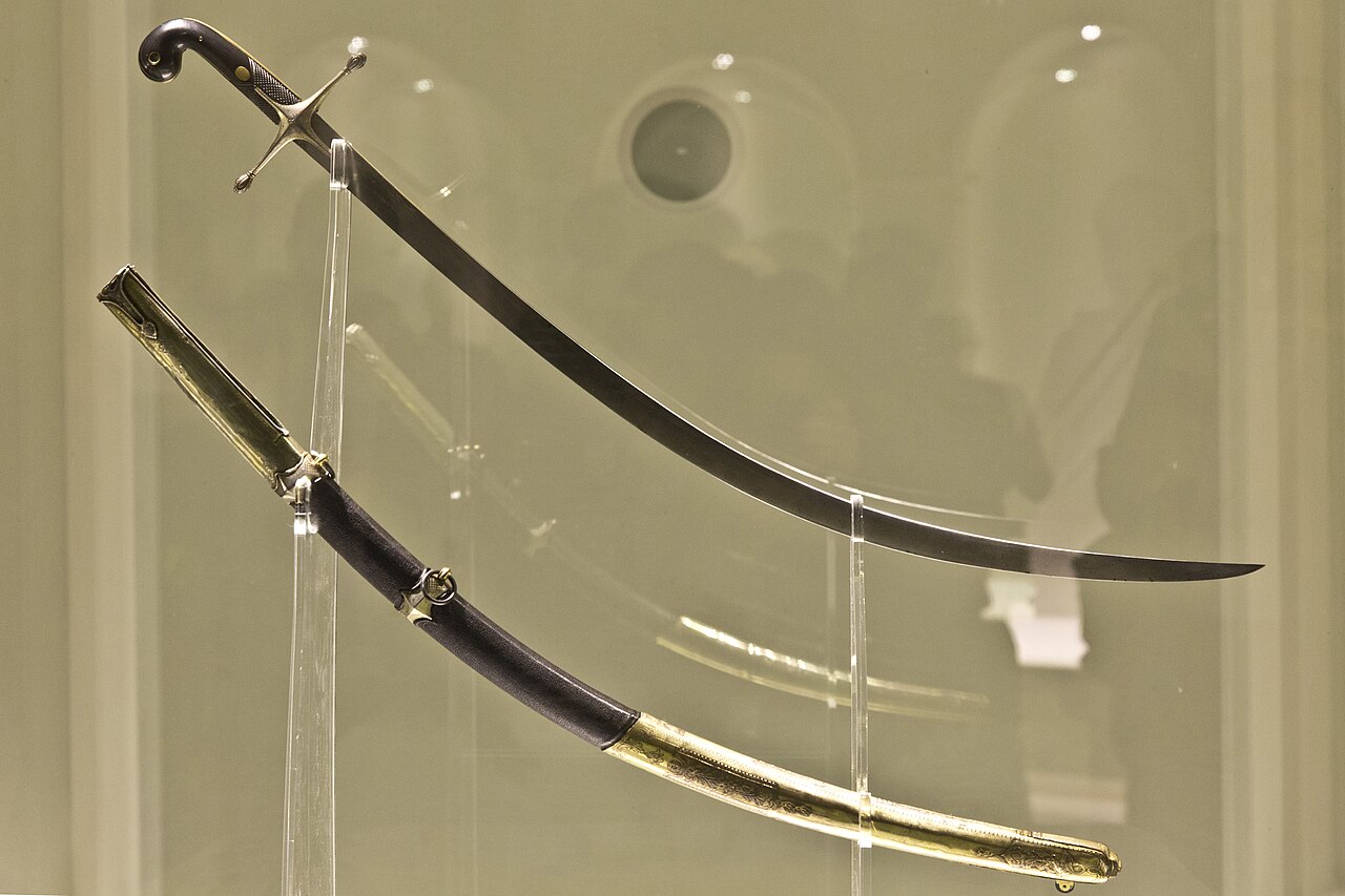 Artifact
Primary source
Curved Saber of San Martín
early 19th century
 Letter
Primary source
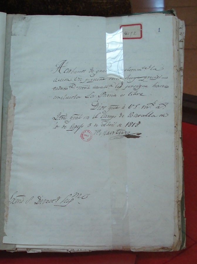
Letter to Bernardo O'Higgins Announcing the Victory at Maipú
José de San Martín · 5 April 1818
 Document
Primary source
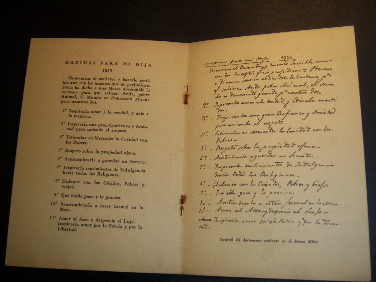
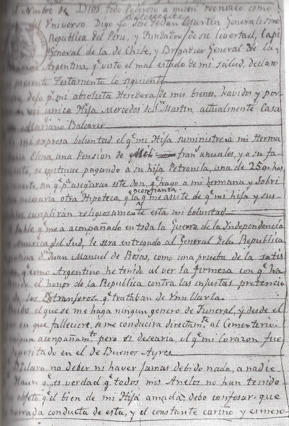
Máximas para mi Hija
José de San Martín · 1825
 Document
Primary source
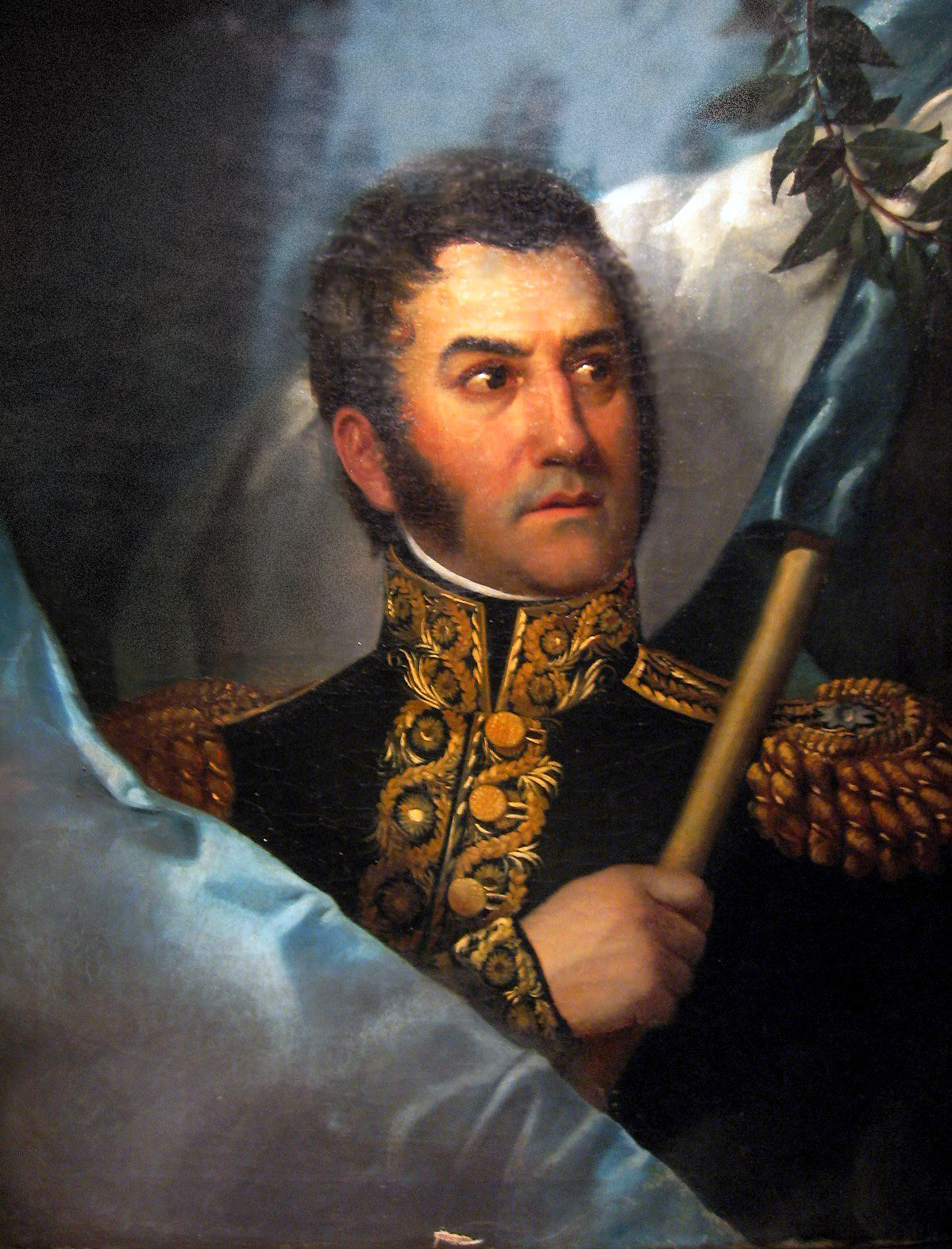
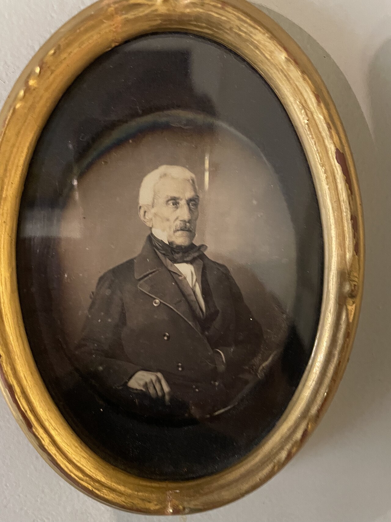
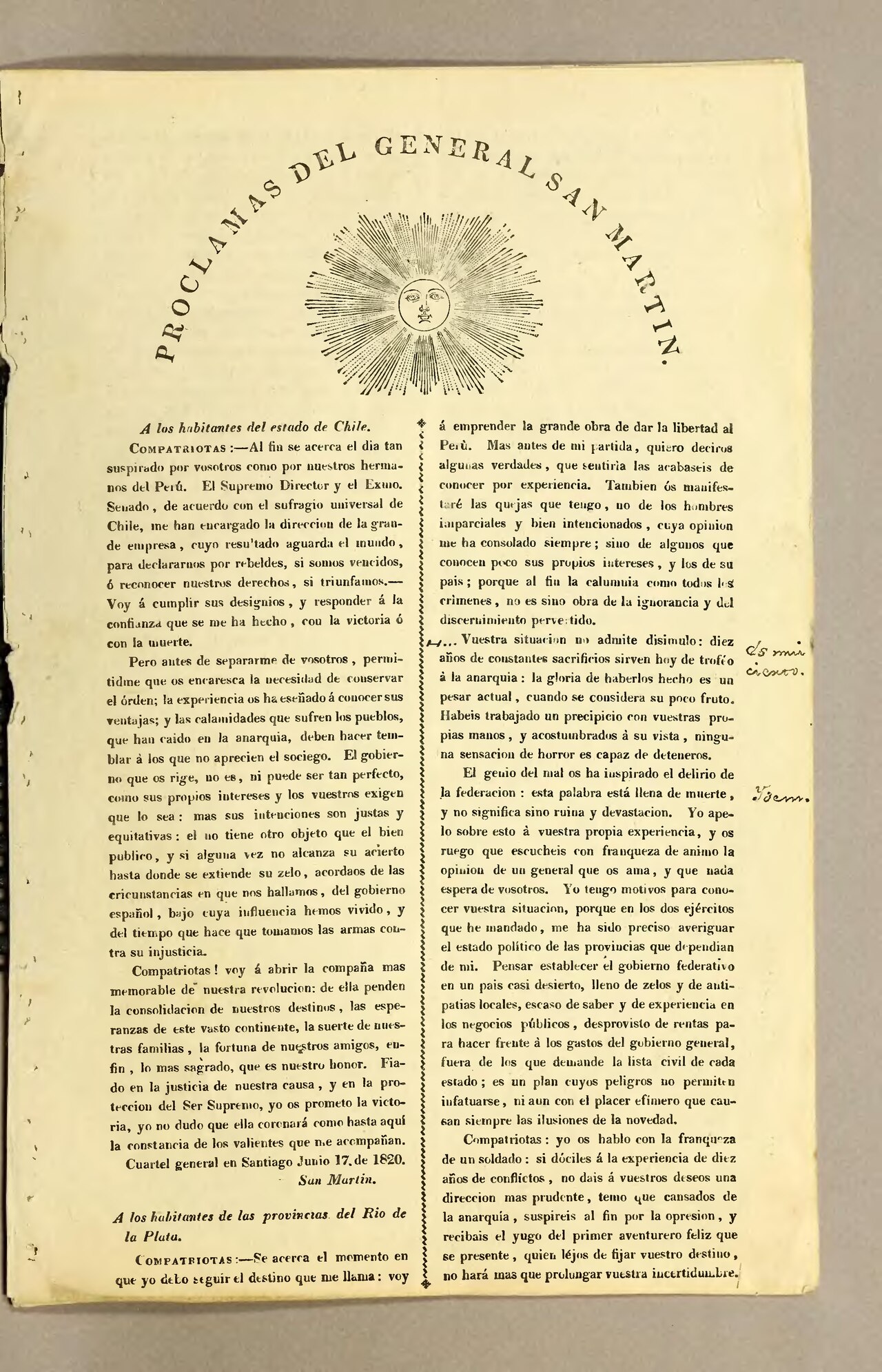
Testamento de San Martín
José de San Martín · 1844
Free account
Read every José de San Martín source
Sign up free →
Ready when you are
Start chatting with José de San Martín now.
20 messages free · No credit card · Available in 50+ languages.