


Secondary sourceArtifact
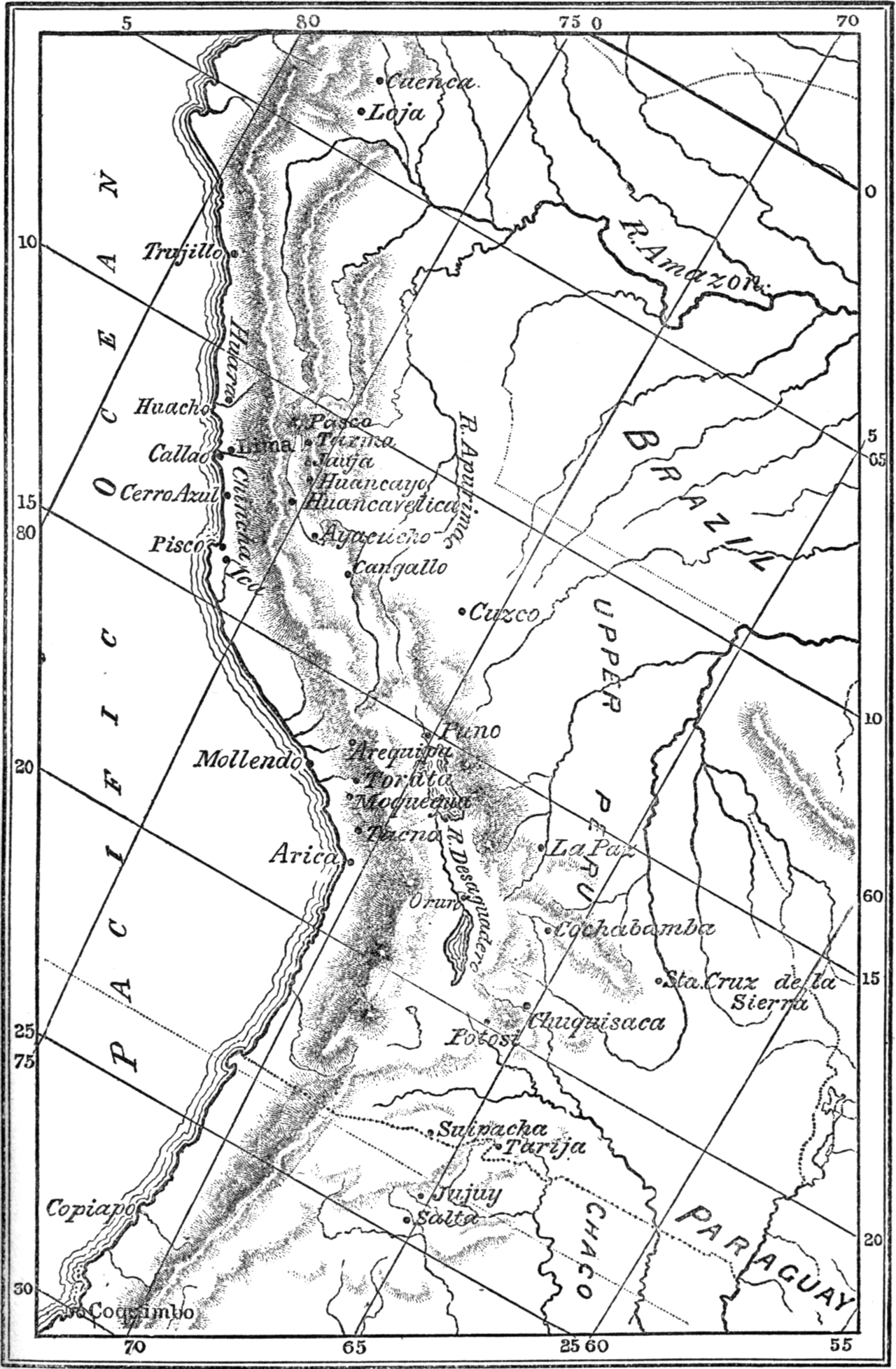
Map of the Viceroyalty of Peru, including Upper Peru
Bartolomé Mitre
An engraved map from Mitre's history of San Martín, showing the Peruvian theatre of the 1820–22 Liberating Expedition and the Upper Peru route he avoided.
Illustrates the Peruvian campaign San Martín led and the route he deliberately avoided.
About this source
What it is
This is a black-and-white engraved map from Bartolomé Mitre's history of San Martín. It shows the Viceroyalty of Peru, including Upper Peru, with the Pacific coast, the Andes mountains, rivers such as the Amazon and Apurímac, and cities including Lima, Cuzco, Arequipa, La Paz, Potosí and Salta.
Why it matters
The map was made to illustrate Mitre's account of the Liberating Expedition that San Martín led into Peru between 1820 and 1822. It highlights the difficult Upper Peru route that San Martín chose not to take, showing how geography shaped his military decisions.
Look closer
- Why might a historian include a map like this in a biography?
- What does the choice to avoid the Upper Peru route tell you about San Martín's strategy?
- What is missing from a map that only shows terrain and cities?
This artifact is part of the curated material that grounds the AI version of José de San Martín on Humy.ai — when students ask about related events, the AI can quote it and cite it.
More José de San Martín sources
Meet the AI José de San Martín →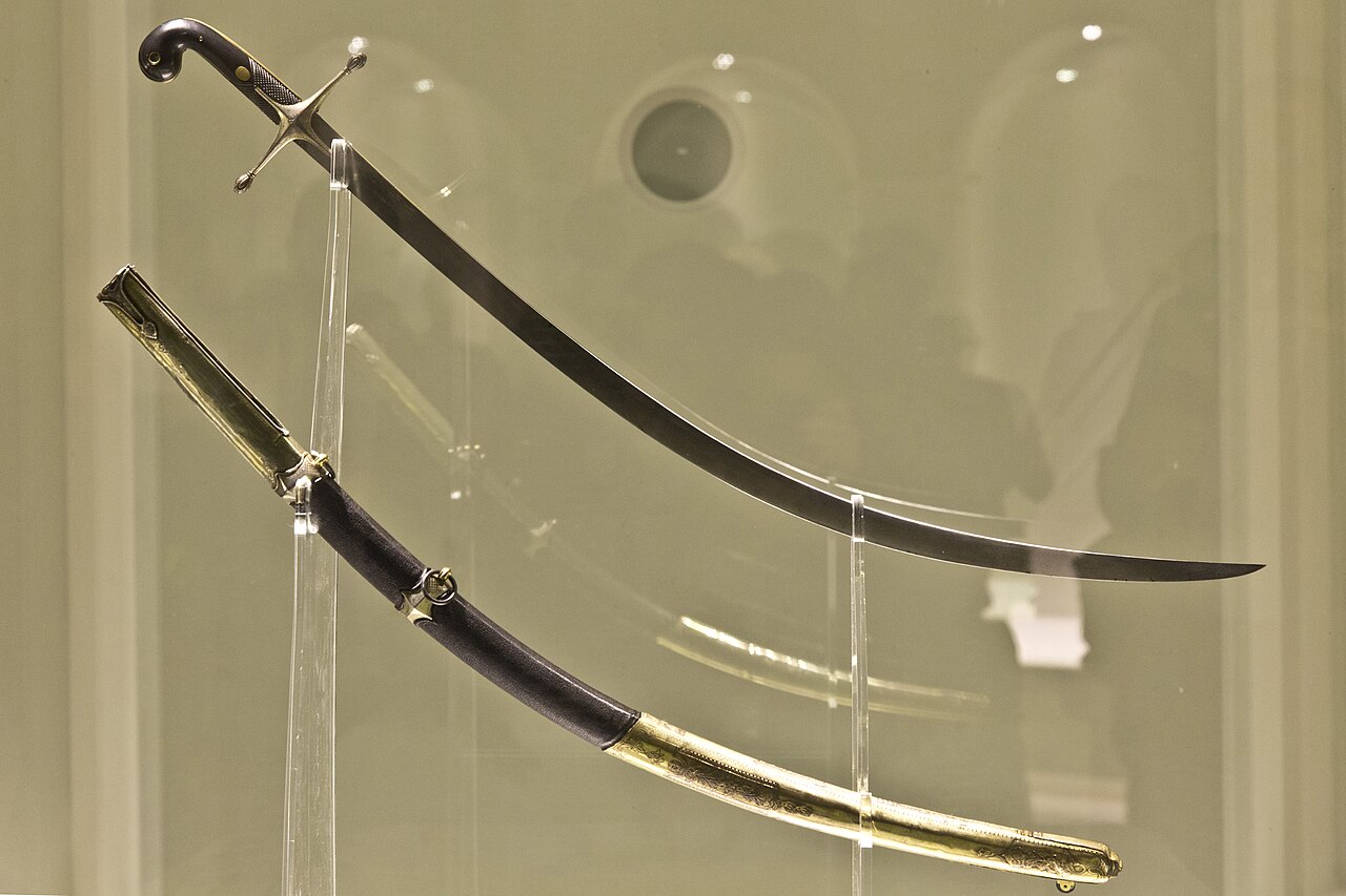 Artifact
Primary source
Curved Saber of San Martín
early 19th century
 Letter
Primary source
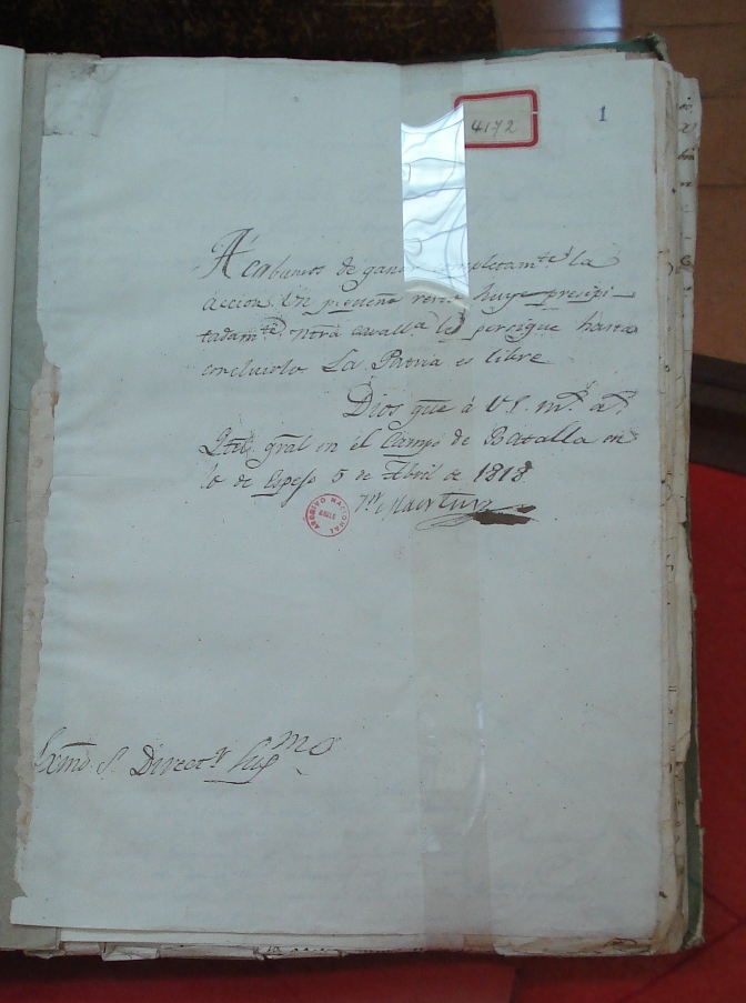
Letter to Bernardo O'Higgins Announcing the Victory at Maipú
José de San Martín · 5 April 1818
 Document
Primary source
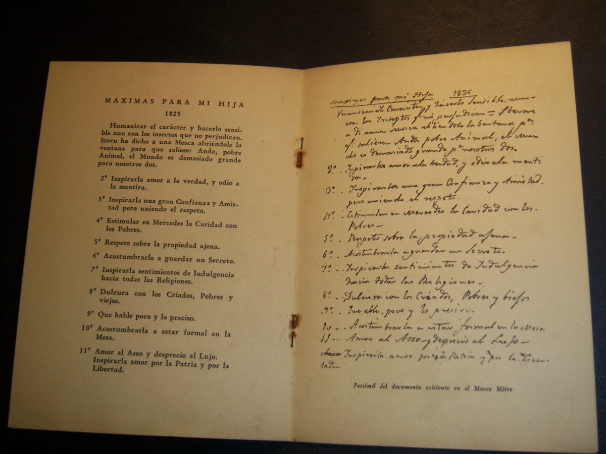
Máximas para mi Hija
José de San Martín · 1825
 Document
Primary source
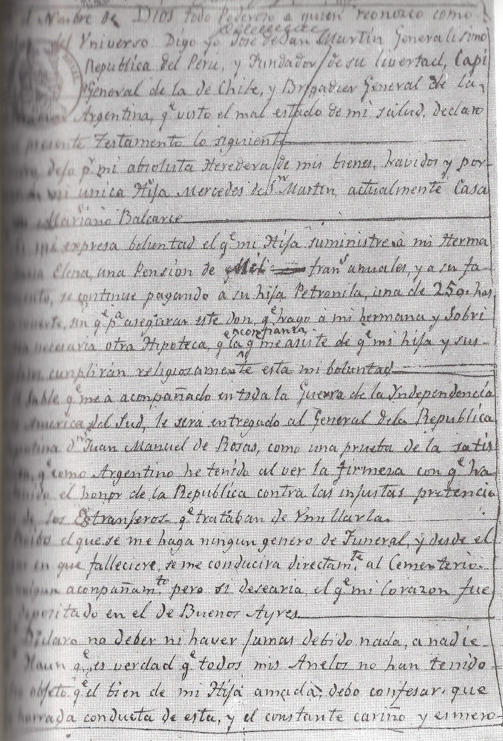
Testamento de San Martín
José de San Martín · 1844
 Painting
Primary source
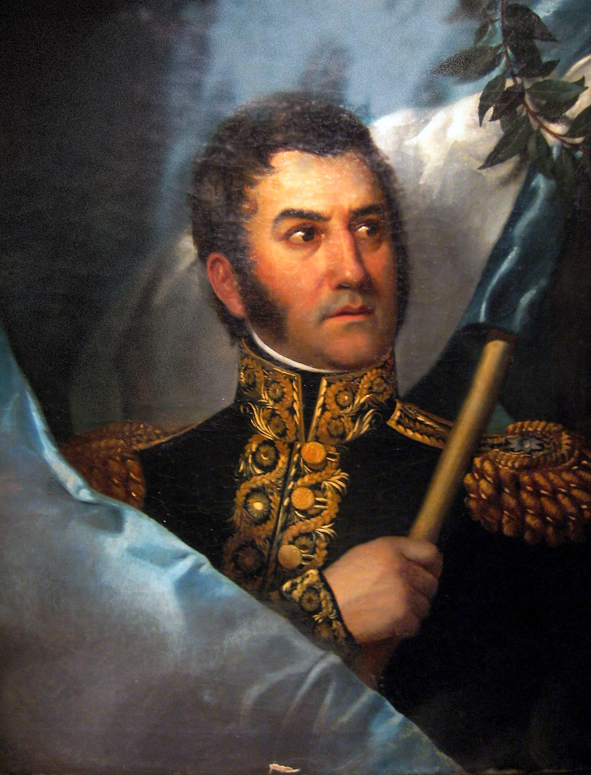
Portrait of José de San Martín
c. 1828
Ready when you are
Start chatting with José de San Martín now.
20 messages free · No credit card · Available in 50+ languages.