


Primary sourceDocument1781
Map of the Virginia Campaign, 1781
Michel du Chesnoy · 1781
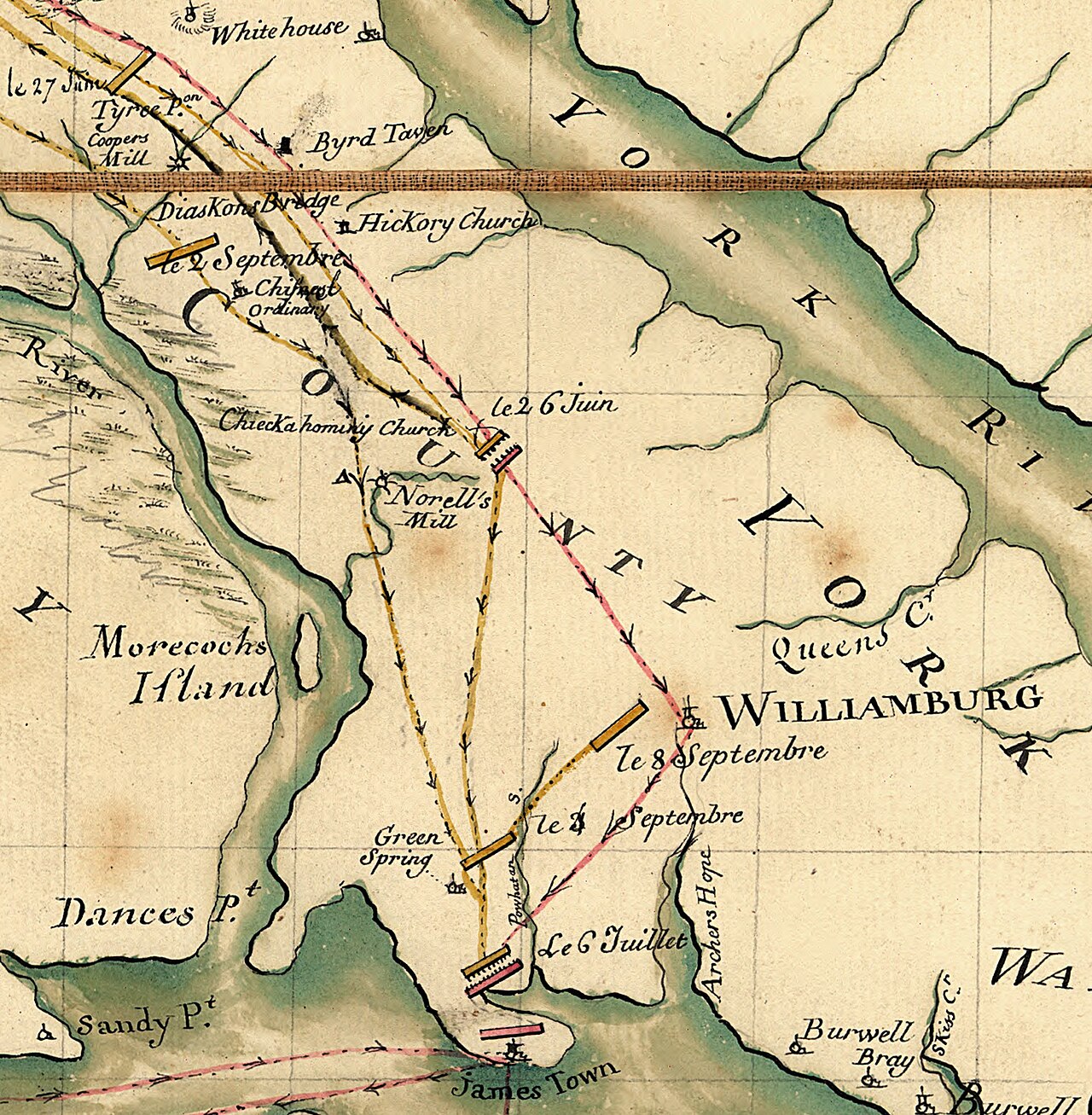
A hand-drawn 1781 map by Lafayette's aide Michel du Chesnoy recording the Virginia campaign Lafayette led against Cornwallis.
This 1781 map traces the campaign that trapped Cornwallis's army in Virginia before Yorktown.
About this source
What it is
This hand-drawn military map was made by Michel du Chesnoy, an aide to the Marquis de Lafayette, in 1781. It records troop movements in the Virginia Peninsula during the Yorktown campaign, marking dated marches and places such as Williamsburg and Green Spring.
Why it matters
Maps like this were working tools for commanders, drawn by someone close to Lafayette as he led American and French forces against the British general Cornwallis. It shows how officers tracked and planned movements during one of the final campaigns of the American Revolutionary War, and it survives as direct evidence of Lafayette's command in the field.
Look closer
- Why would an army need a map like this, and who would have used it?
- What do the dated marches tell you about how fast armies could move?
- What is missing from a map like this that a battle account might include?
This document is part of the curated material that grounds the AI version of Charles Cornwallis and Marquis de Lafayette on Humy.ai — when students ask about related events, the AI can quote it and cite it.
More Charles Cornwallis sources
Meet the AI Charles Cornwallis →Primary source
Articles of Capitulation, Yorktown
Charles Cornwallis; George Washington; Comte de Rochambeau; Comte de Barras · 19 October 1781
 Painting
Secondary source
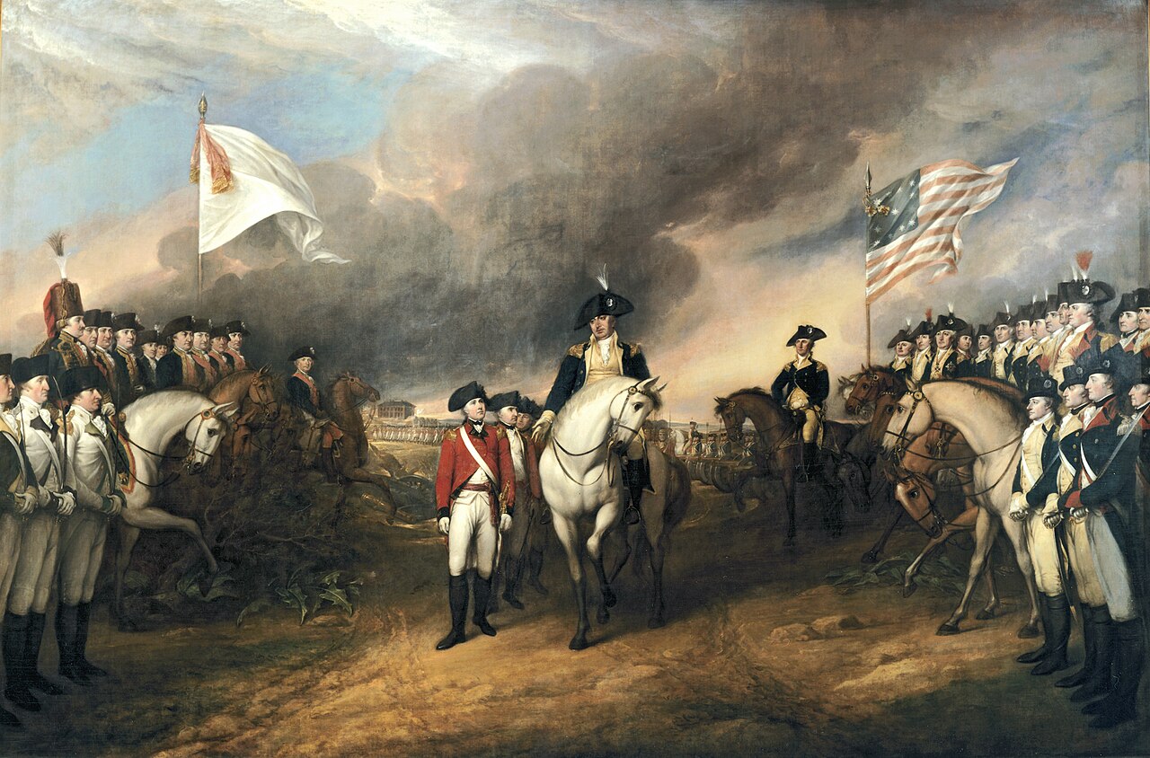
Surrender of Lord Cornwallis
John Trumbull · 1819
 Painting
Primary source
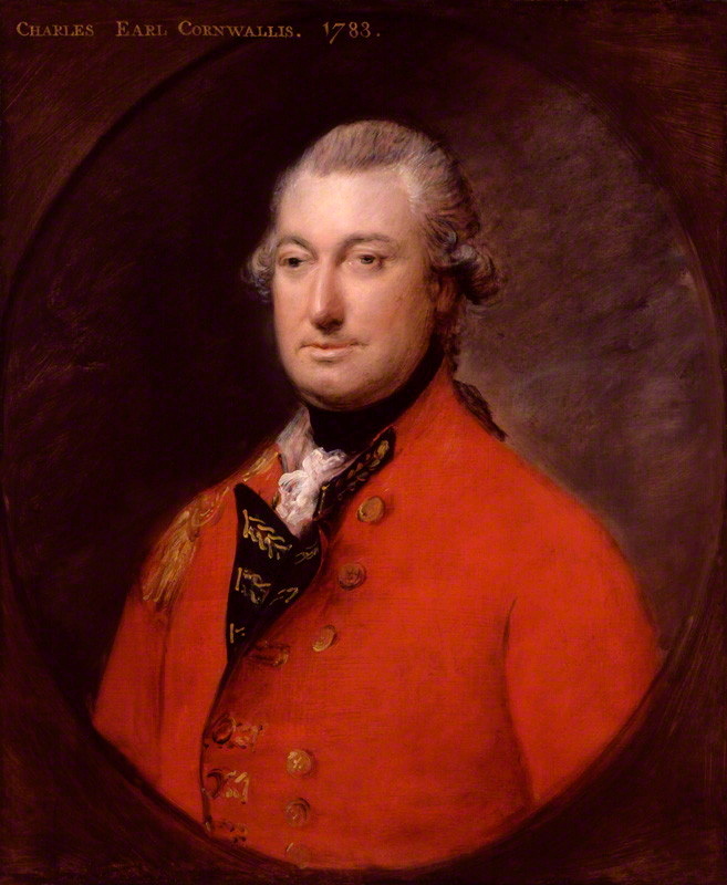
Charles Cornwallis, 1st Marquess Cornwallis
Thomas Gainsborough · 1783
 Painting
Secondary source
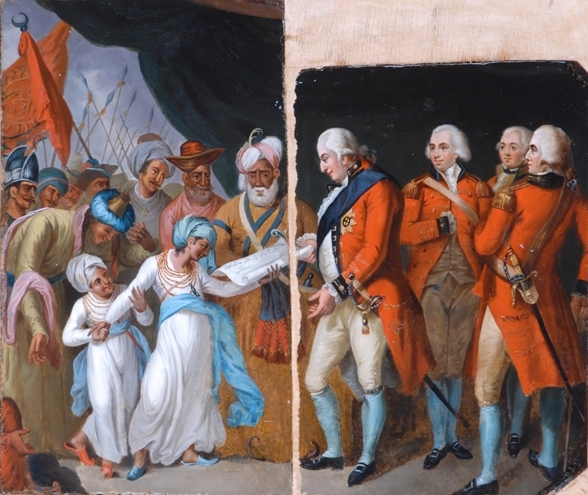
Lord Cornwallis receiving the Hostage Princes
Mather Brown · 1793
 Document
Primary source
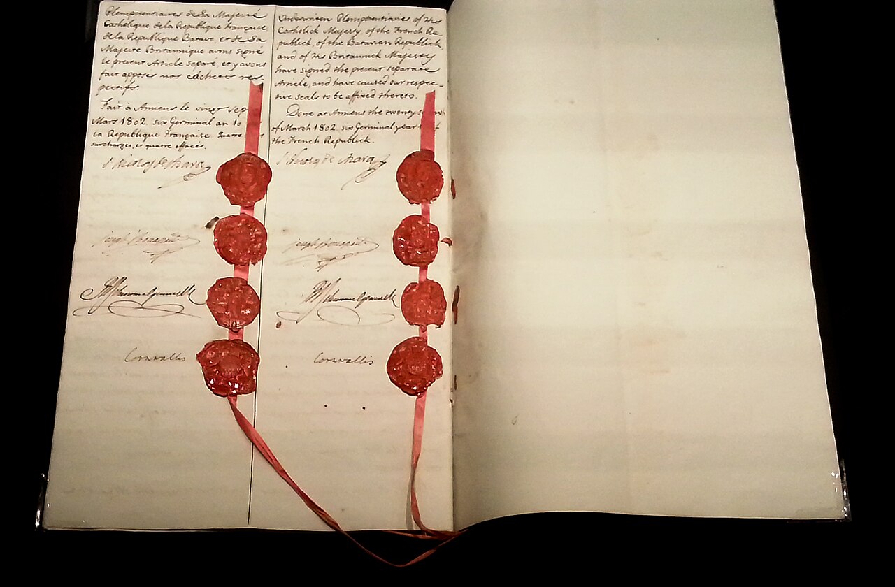
Treaty of Amiens
25 March 1802
Ready when you are
Start chatting with Charles Cornwallis now.
20 messages free · No credit card · Available in 50+ languages.