


Secondary sourceDocument1673
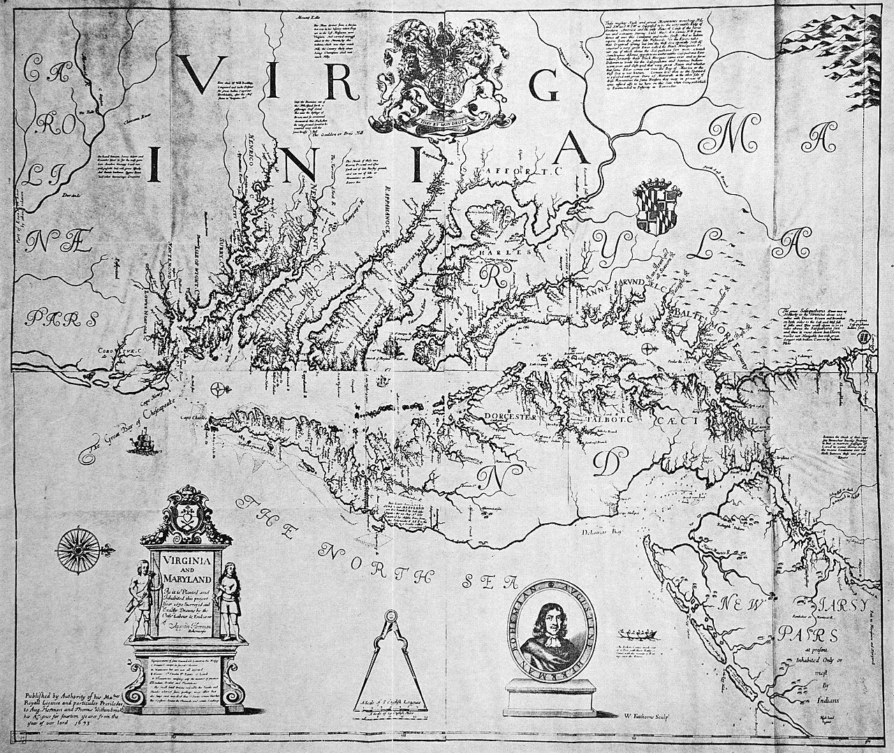
Map of Virginia and Maryland
Augustine Herrman · 1673
A 1673 engraved map of the Virginia and Maryland colonies, drawn by Augustine Herrman and engraved by William Faithorne. It shows the Chesapeake region a generation after Pocahontas.
Gives context for the colonial Virginia that Pocahontas's world later became, one generation after her death.
About this source
What it is
This is an engraved map titled Virginia and Maryland, made in 1673 by Augustine Herrman and engraved by William Faithorne. It has a decorative cartouche, a coat of arms, a compass rose, and an oval portrait of a man at the lower centre. Its labels include VIRGINIA, MARYLAND and THE NORTH SEA, and rivers and bays are drawn in fine lines.
Why it matters
The map was made about fifty years after Pocahontas died in 1617. It does not show her world directly, but it shows how the English colonies around the Chesapeake were being described and mapped later in the century. Comparing it with earlier maps helps students see how the land was recorded and claimed as colonists settled it.
Look closer
- Which places on the map are labelled, and which areas are left blank or unnamed?
- Why might a mapmaker add a portrait, a coat of arms or a decorative cartouche?
- Whose knowledge of the land would this map leave out?
This document is part of the curated material that grounds the AI version of Pocahontas on Humy.ai — when students ask about related events, the AI can quote it and cite it.
More Pocahontas sources
Meet the AI Pocahontas →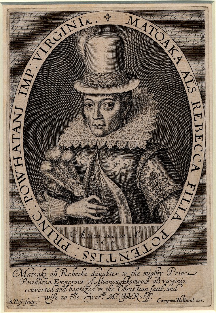 Painting
Primary source
Matoaka alias Rebecca Engraving
Simon van de Passe · 1616
 Painting
Secondary source
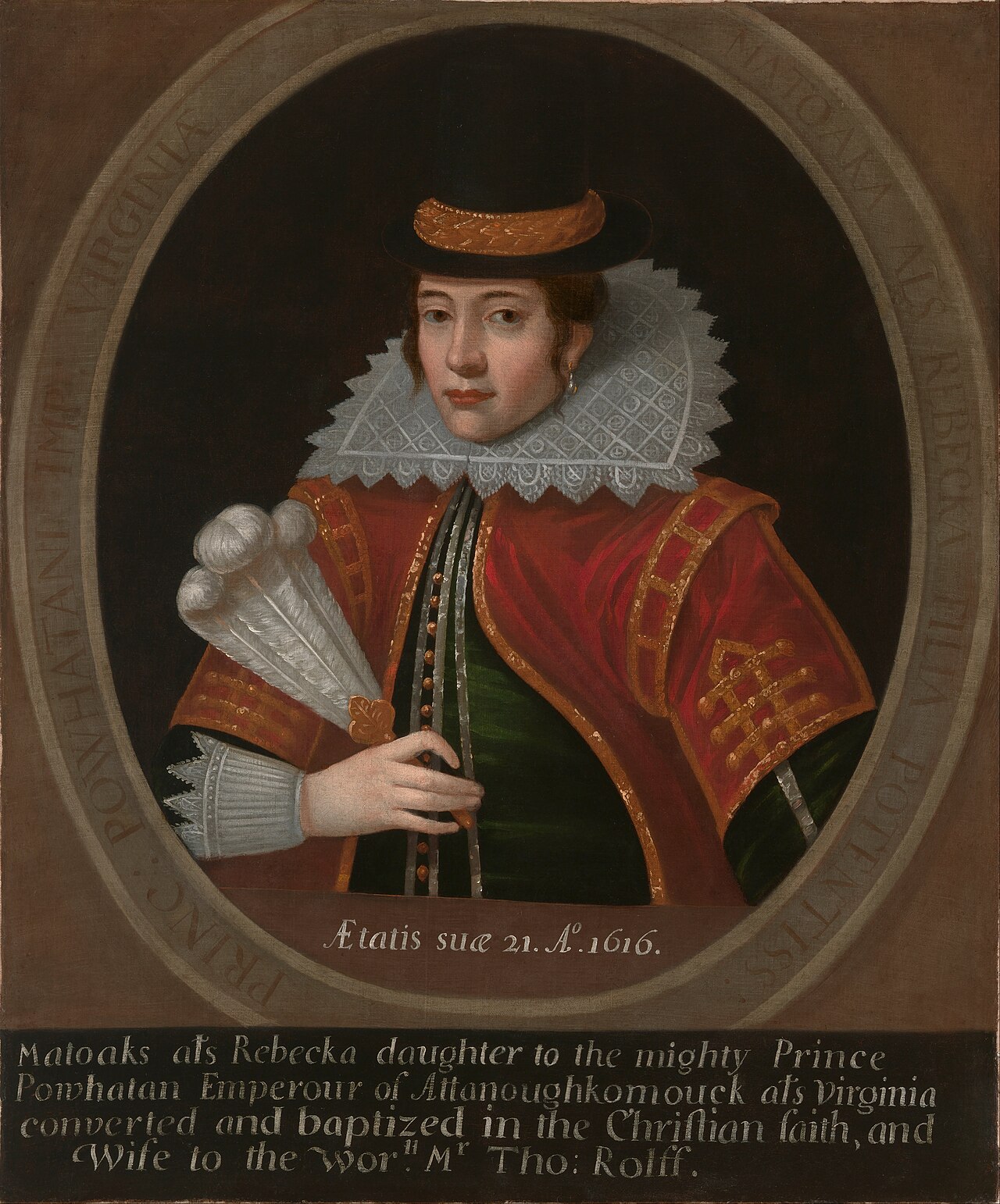
Pocahontas (Oil Portrait after van de Passe)
Unidentified Artist · 1616
 Book
Primary source
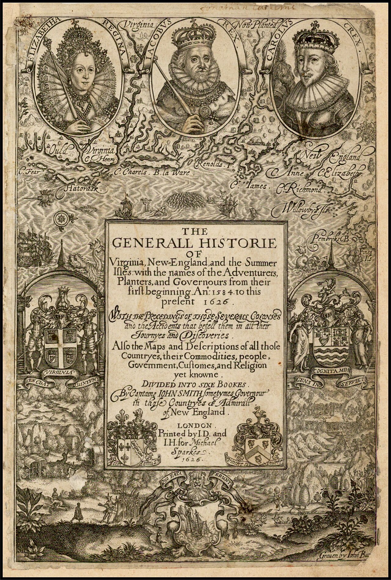
The Generall Historie of Virginia, New-England, and the Summer Isles
John Smith · 1624
 Book
Primary source
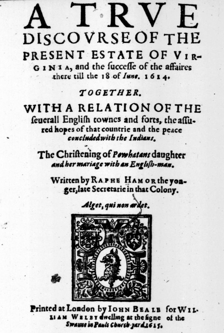
A True Discourse of the Present Estate of Virginia
Ralph Hamor · 1615
 Painting
Secondary source
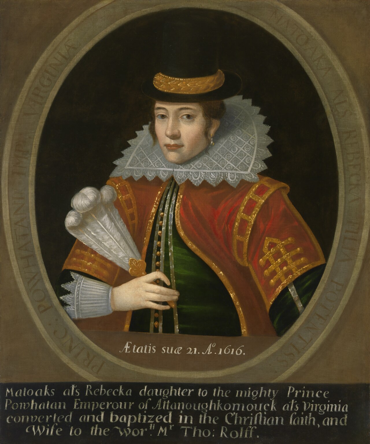
Portrait of Pocahontas
1616
Ready when you are
Start chatting with Pocahontas now.
20 messages free · No credit card · Available in 50+ languages.