


Primary sourceDocument1624
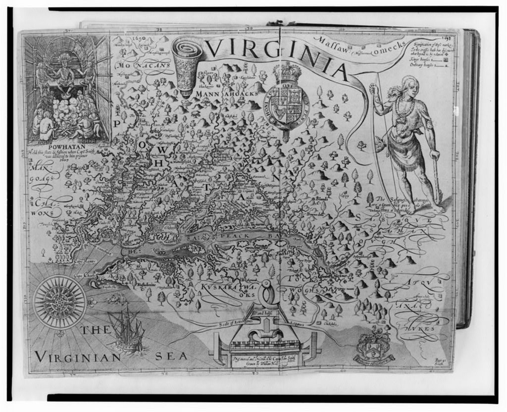
Map of Virginia discovered and described by Captain John Smith
William Hole and John Smith · 1624
A 1624 engraved map of Virginia by William Hole, based on the surveys of John Smith, who wrote about Pocahontas. It shows the Jamestown region's rivers, land and people as Europeans described them.
Shows the Virginia world John Smith described, the setting in which he wrote about Pocahontas, through an engraving published in 1624.
About this source
What it is
This is an engraved map of Virginia, printed as a single print in 1624 by William Hole, who engraved it, from a description by Captain John Smith. The map is black and white and shows rivers, mountains, and trees. It has the title VIRGINIA on a scroll, a compass rose at lower left, and a decorative cartouche with a coat of arms. An inset at upper left shows Powhatan seated among attendants, and a standing Native figure with a bow appears at the right. A ship and sea monsters are at the bottom. The catalogue title reads Map of Virginia discovered and discribed by Captain John Smith.
Why it matters
John Smith wrote about Pocahontas, and this map reflects the world he described during the Jamestown years. A curator's note calls it a strong source on Jamestown's world. The map was engraved by Hole, not drawn by Smith himself, so students should consider how an engraver shaped Smith's account. The inset of Powhatan, Pocahontas's father, shows that the English recorded the Native leaders they met and wanted to display them on a map.
Look closer
- What features of the land did the mapmaker choose to show, and which Native people are placed in the picture?
- What do the ship and sea monsters suggest about how Europeans imagined the American coast?
- What might a map like this leave out about the people who already lived on the land?
This document is part of the curated material that grounds the AI version of Pocahontas on Humy.ai — when students ask about related events, the AI can quote it and cite it.
More Pocahontas sources
Meet the AI Pocahontas →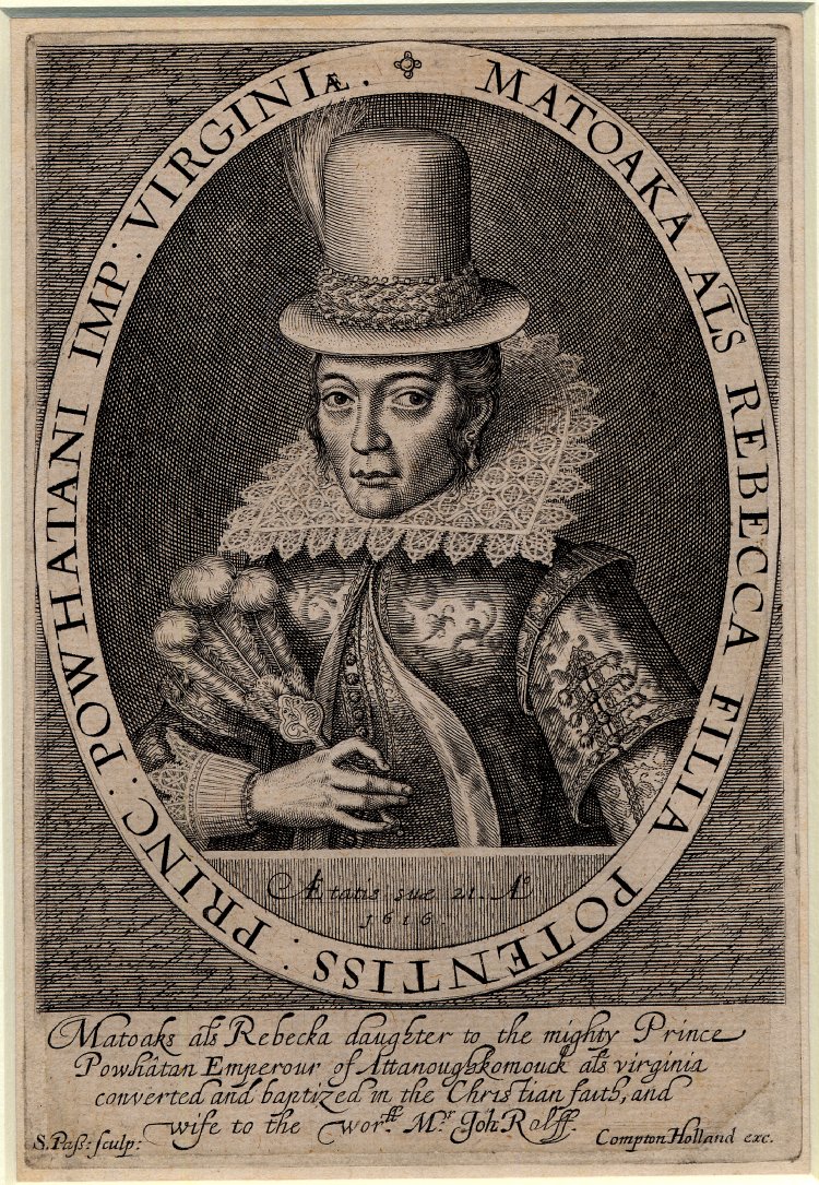 Painting
Primary source
Matoaka alias Rebecca Engraving
Simon van de Passe · 1616
 Painting
Secondary source
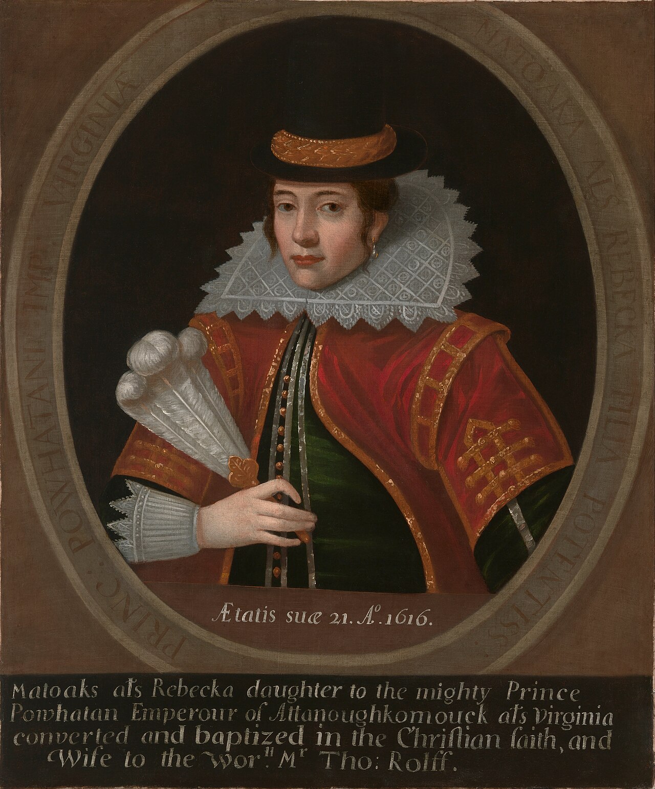
Pocahontas (Oil Portrait after van de Passe)
Unidentified Artist · 1616
 Book
Primary source
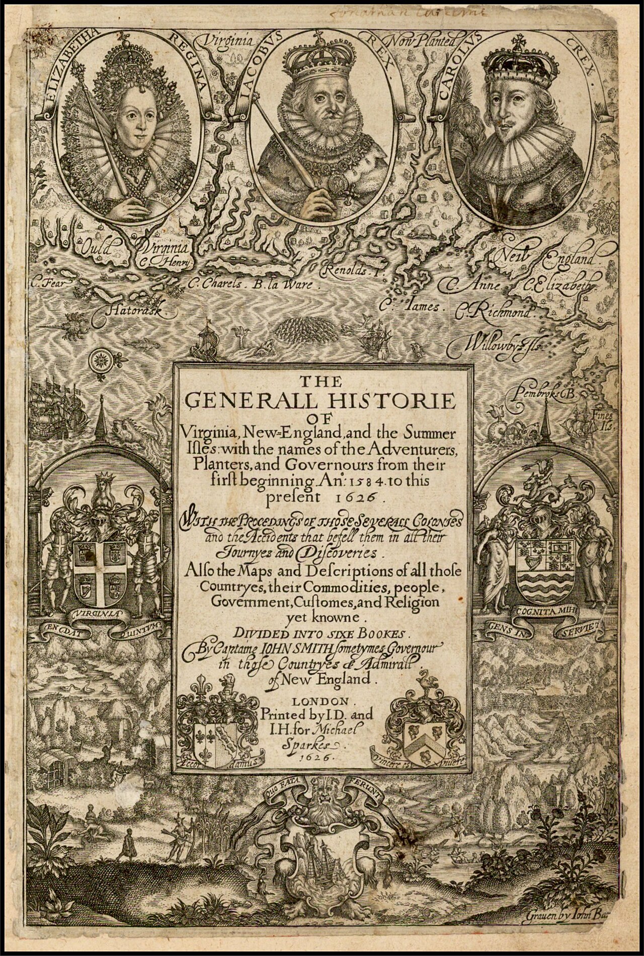
The Generall Historie of Virginia, New-England, and the Summer Isles
John Smith · 1624
 Book
Primary source
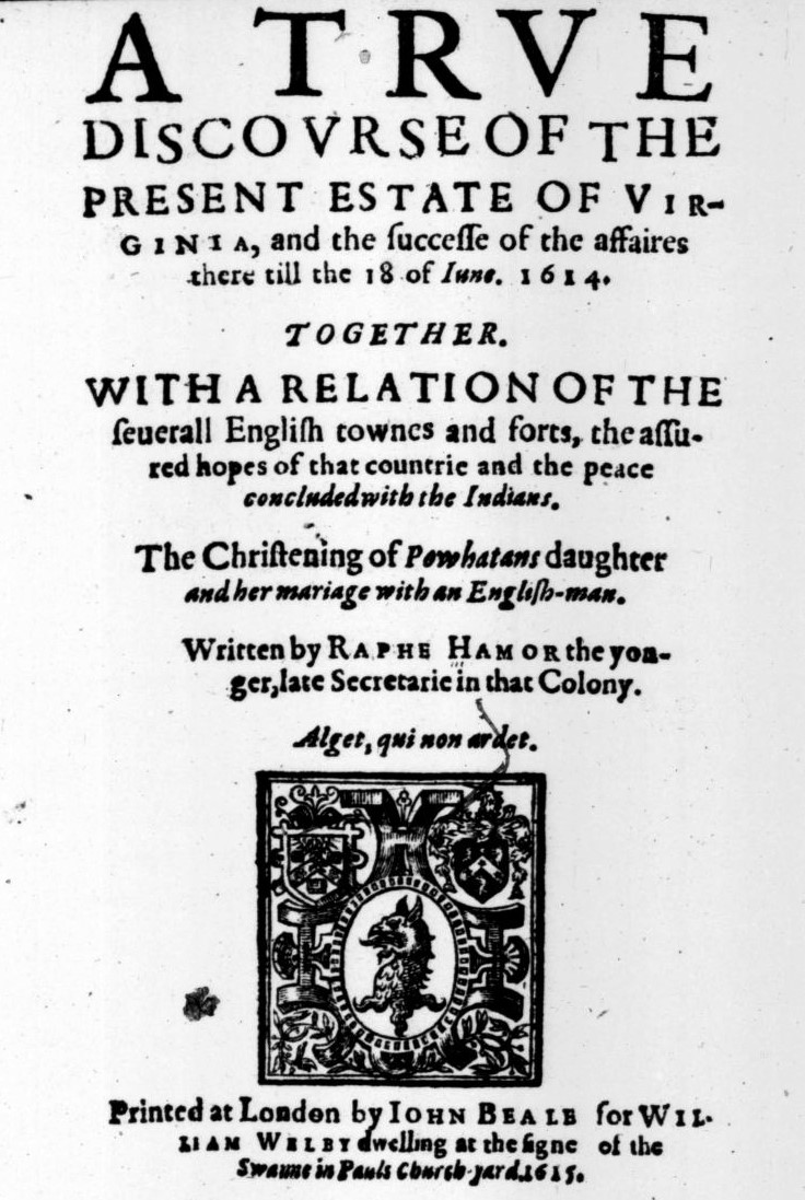
A True Discourse of the Present Estate of Virginia
Ralph Hamor · 1615
 Painting
Secondary source
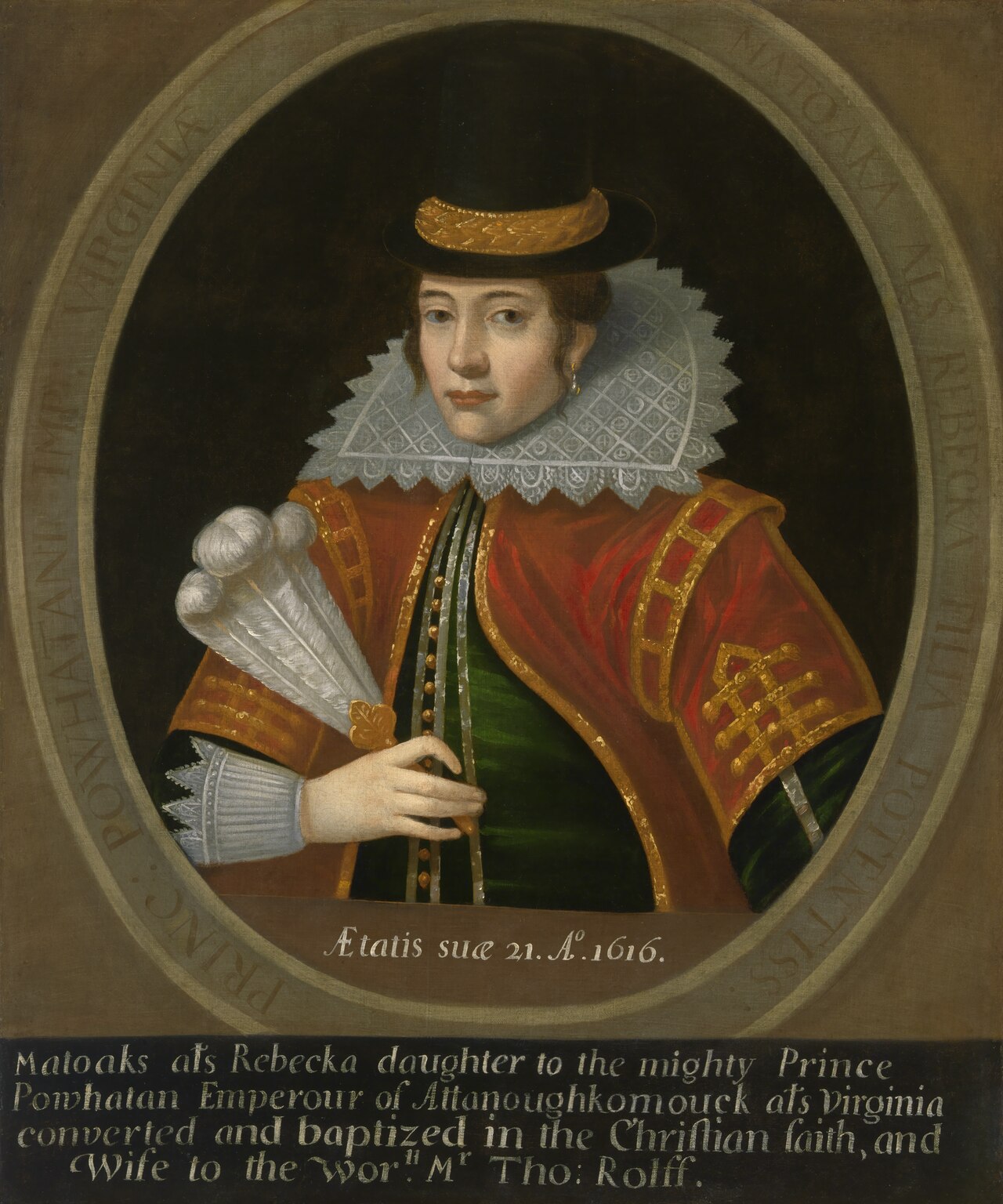
Portrait of Pocahontas
1616
Ready when you are
Start chatting with Pocahontas now.
20 messages free · No credit card · Available in 50+ languages.