


Secondary sourceArtifact1589
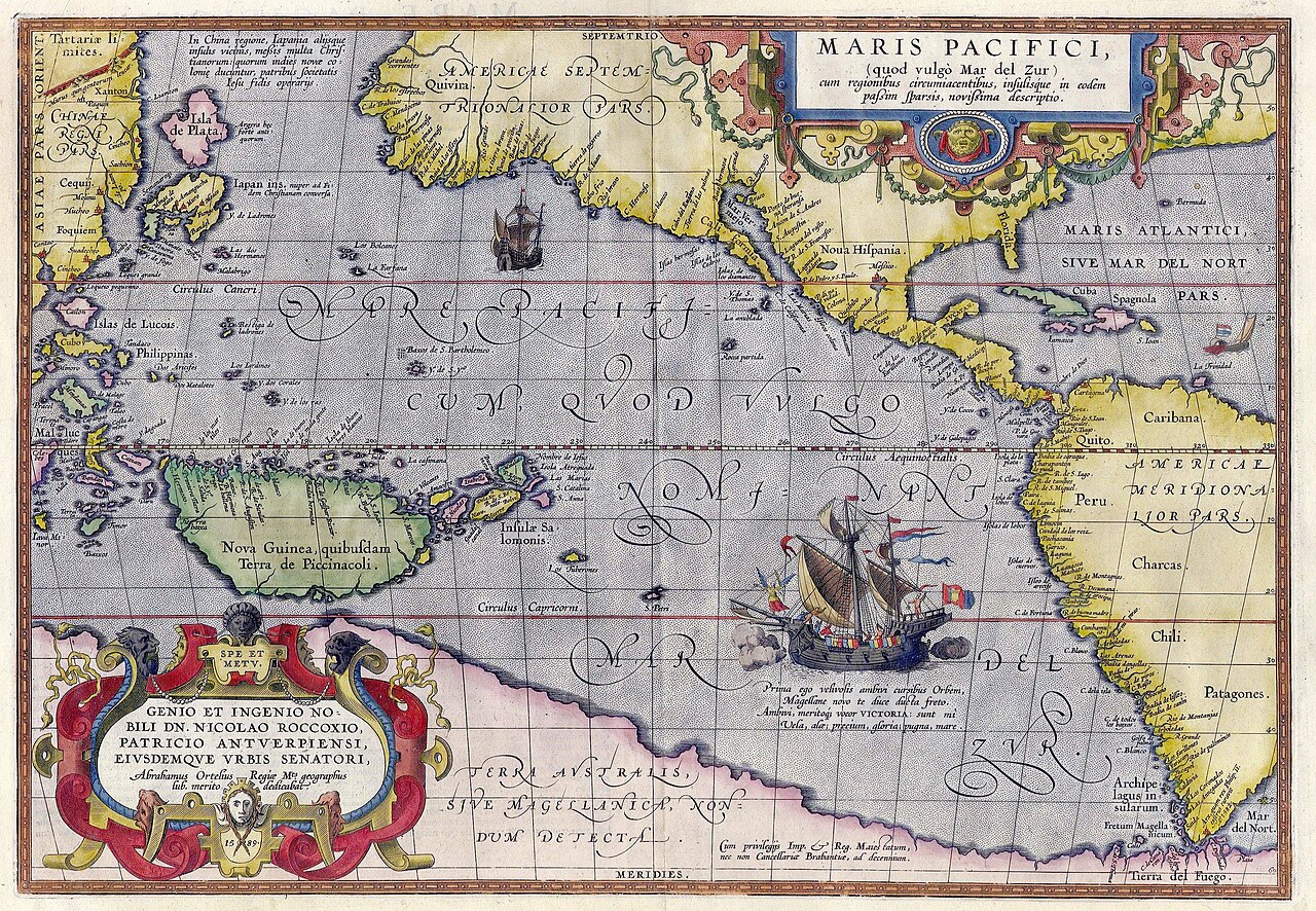
Maris Pacifici
Abraham Ortelius · 1589
A 1589 hand-colored map by Abraham Ortelius, the first printed map dedicated to the Pacific Ocean, showing Magellan's ship Victoria.
Commemorates Magellan's crossing of the Pacific by depicting his ship Victoria on the first printed map of that ocean.
About this source
What it is
Maris Pacifici is a hand-colored map made in 1589 by the cartographer Abraham Ortelius, based on an American map by Frans Hogenberg and possibly influenced by a manuscript description of Japan. It was published in Ortelius's atlas Theatrum Orbis Terrarum and was the first printed map focused entirely on the Pacific Ocean.
Why it matters
The map shows how European mapmakers pictured the world decades after Magellan's voyage. It includes a large ship, likely referencing Magellan's vessel Victoria, and sea monsters, reflecting both real exploration and imagined geography, including the mythical Terra Australis. It reveals how Magellan's crossing reshaped European knowledge of the globe.
Look closer
- Why might Ortelius have included a ship on the map?
- What does the inclusion of Terra Australis tell you about the limits of 16th-century knowledge?
- How does this map compare to a modern map of the Pacific?
This artifact is part of the curated material that grounds the AI version of Ferdinand Magellan on Humy.ai — when students ask about related events, the AI can quote it and cite it.
More Ferdinand Magellan sources
Meet the AI Ferdinand Magellan →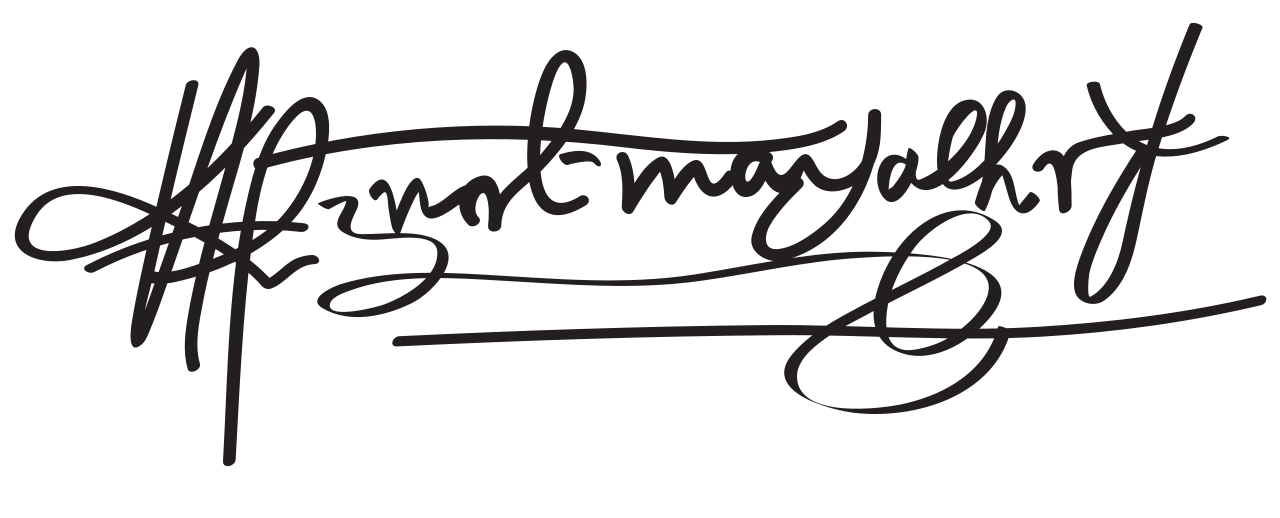 Document
Primary source
Signature of Ferdinand Magellan
Ferdinand Magellan
 Book
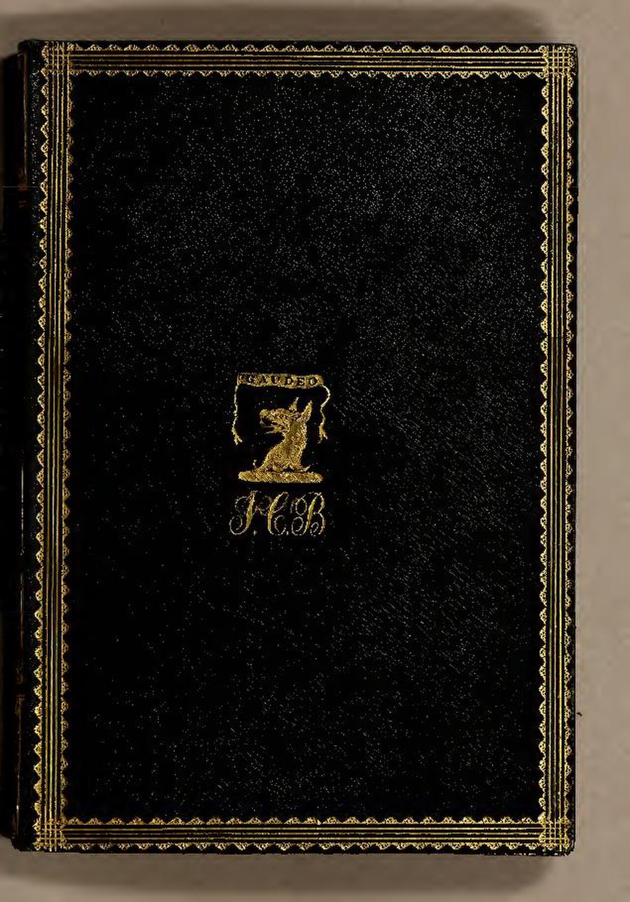
Secondary source
De Moluccis Insulis
Maximilianus Transylvanus · 1523
 Artifact
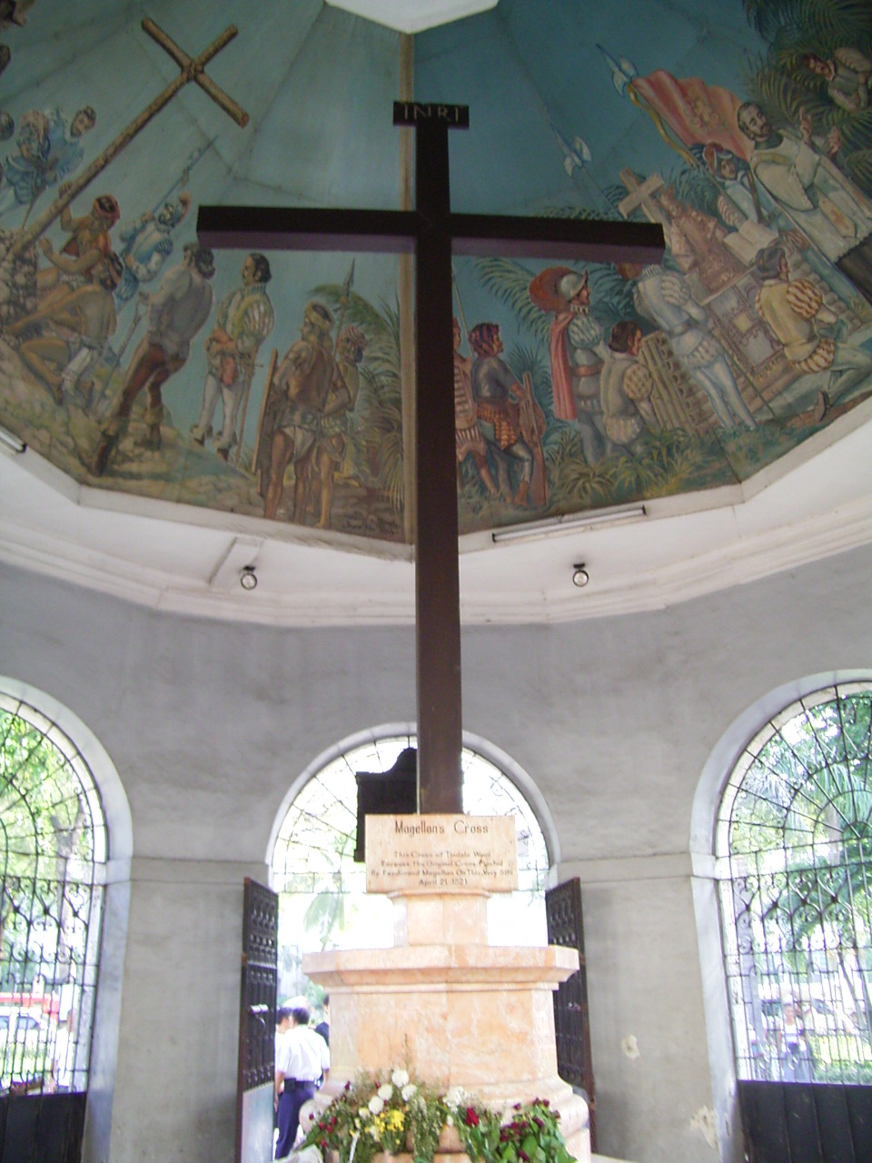
Secondary source
Magellan's Cross
planted April 1521; present cross 1835
 Sculpture
Primary source
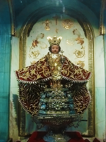
Santo Niño de Cebú
1519
 Painting
Secondary source
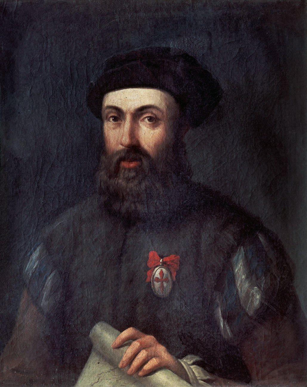
Portrait of Ferdinand Magellan
Unknown, after the school of Ángel Broncino
Ready when you are
Start chatting with Ferdinand Magellan now.
20 messages free · No credit card · Available in 50+ languages.