


Secondary sourceArtifact1766
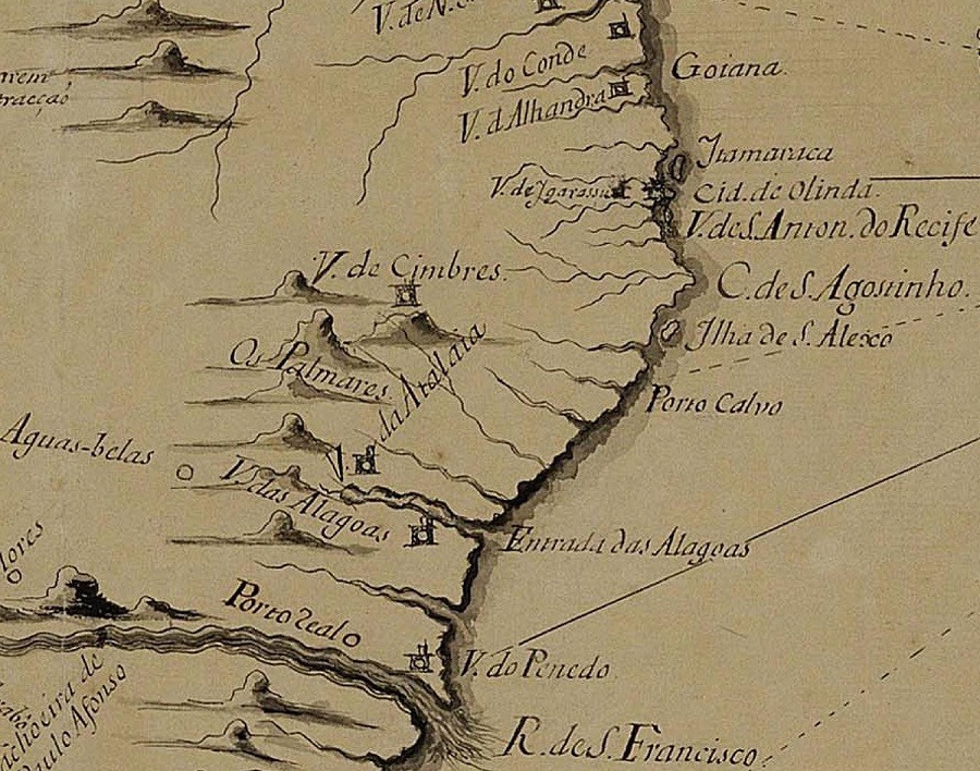
Os Palmares Detail from 1766 Topographic Map of Pernambuco
José Gonçalves da Fonseca · 1766
A detail from a 1766 map labeling 'Os Palmares', the site of the quilombo Zumbi had led decades earlier.
Labels the former site of Palmares, the quilombo Zumbi had led, decades after his death.
About this source
What it is
This is a detail of a 1766 topographic map covering the captaincies of the Pernambuco government, made by José Gonçalves da Fonseca. It labels the location of the former Quilombo dos Palmares as "Os Palmares" among other coastal place names.
Why it matters
Made decades after Zumbi's death, this map shows how the memory of Palmares persisted as a geographic landmark long after the quilombo was destroyed. It is evidence of how later generations continued to record the place associated with Zumbi's resistance.
Look closer
- Why might mapmakers still be marking Palmares nearly a century after it existed?
- What can place names on old maps tell historians about past events?
- What is missing from this map that might tell us more about the people who lived in Palmares?
This artifact is part of the curated material that grounds the AI version of Zumbi on Humy.ai — when students ask about related events, the AI can quote it and cite it.
More Zumbi sources
Browse all 47 →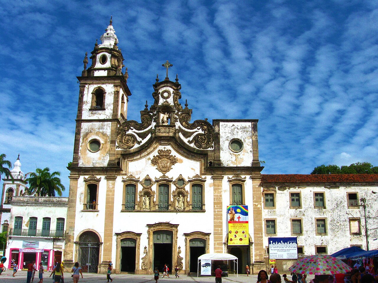 Artifact
Secondary source
Basilica and Convent of Nossa Senhora do Carmo
1742
 Artifact
Secondary source
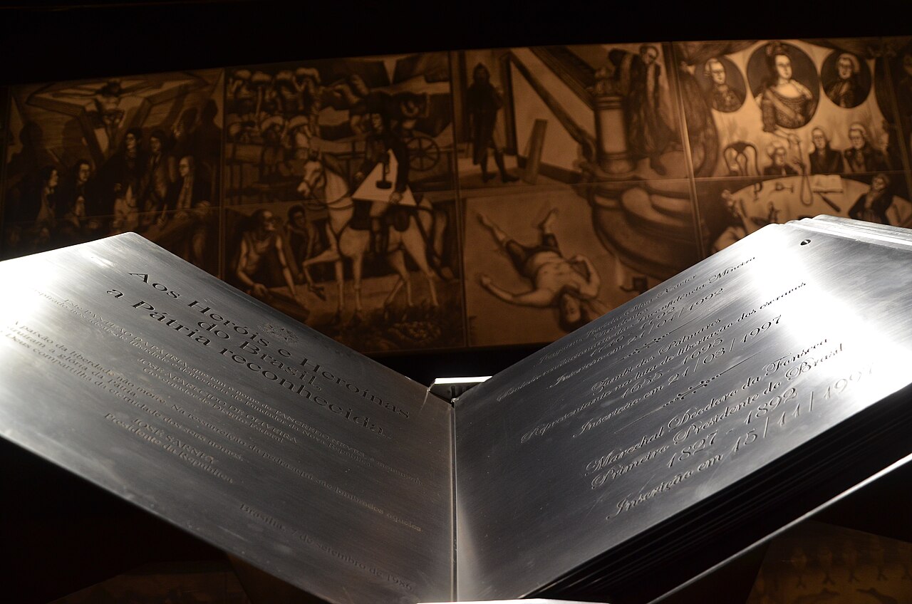
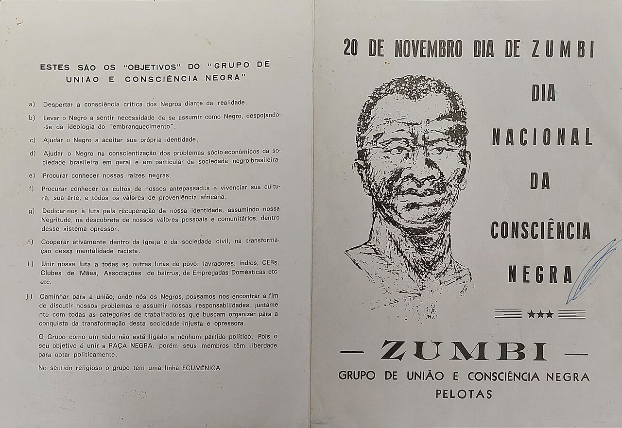
Livro de Aço dos Heróis e Heroínas da Pátria
1989 (Zumbi entry added 1997)
 Painting
Secondary source
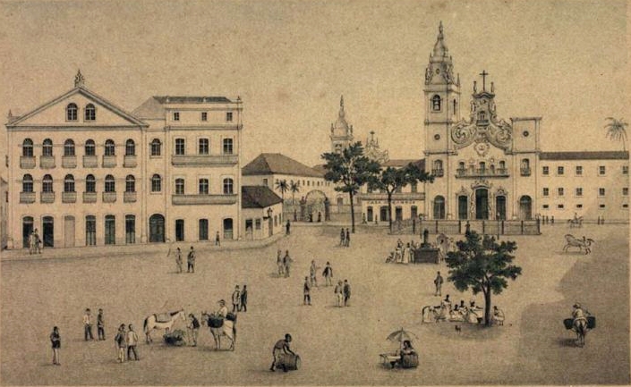
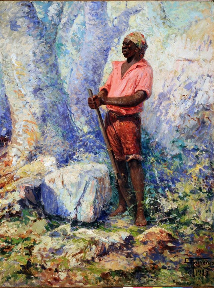
Pátio do Carmo, Recife - século XIX
Franz Heinrich Carls · 19th century
 Painting
Secondary source
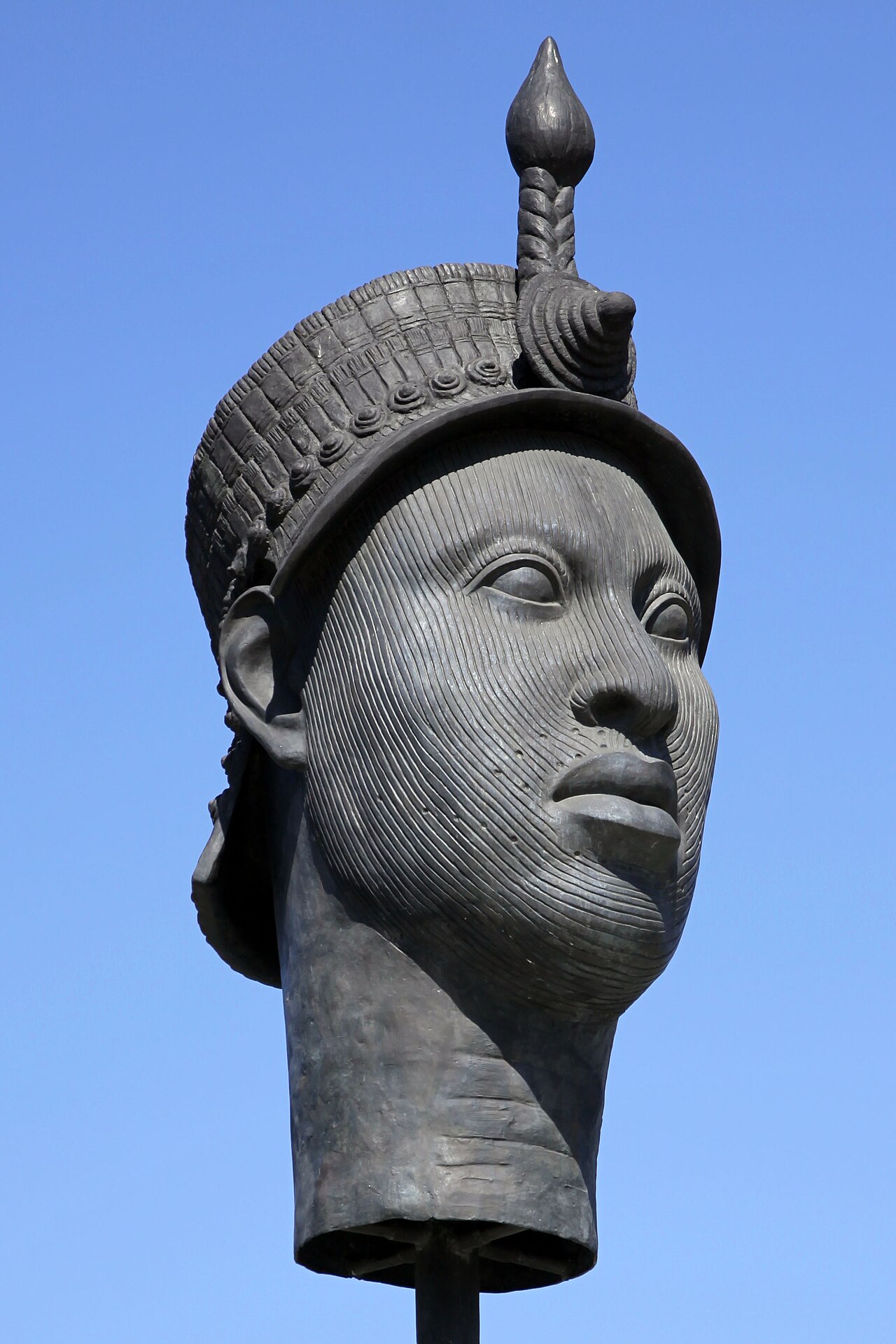
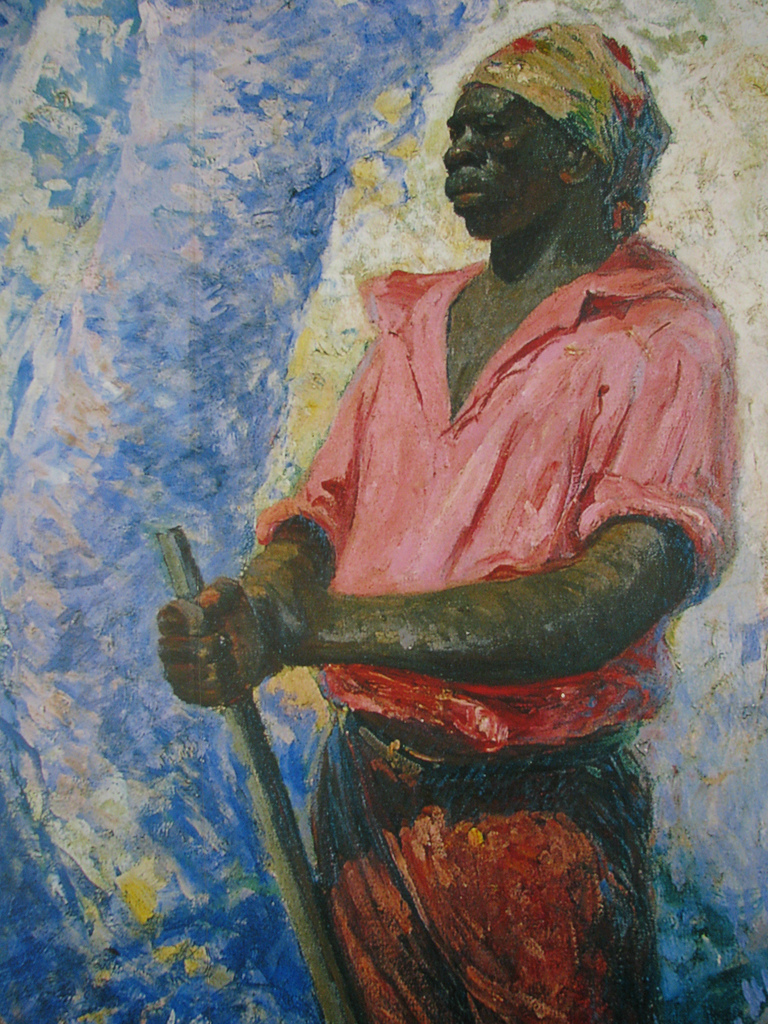
Zumbi
Antônio Parreiras · c. 1915
Free account
Read every Zumbi source
Sign up free →
Ready when you are
Start chatting with Zumbi now.
20 messages free · No credit card · Available in 50+ languages.