


Primary sourceArtifact1923
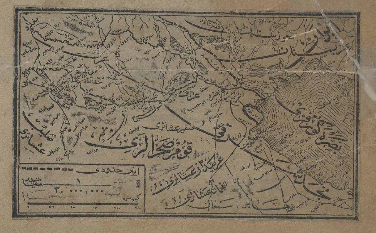
Ottoman Map of Arabian Peninsula Tribes
Ottoman Archives · 1923
A 1923 Ottoman archive map showing Arab tribal territories in the Arabian Peninsula, from the period when Ibn Saud was expanding his rule.
Shows the tribal landscape of Arabia during Ibn Saud's rise to power over the peninsula.
About this source
What it is
This is an old map held in the Ottoman Archives, made in 1923. It is drawn on brown paper with Arabic-script labels marking mountains, rivers, settlements and tribal names, including the Zafir tribe, across the Arabian Peninsula. It has a scale bar and a legend box in the lower corner.
Why it matters
The map was made at exactly the time Ibn Saud was expanding his control over much of Arabia, defeating rival rulers and tribal leaders. Maps like this show how outside powers, in this case Ottoman record-keepers, tried to track and understand the shifting tribal landscape that Ibn Saud was reshaping through conquest and alliance.
Look closer
- Why might an official archive want a detailed map of tribal territories?
- What does the map tell us about how borders in Arabia were understood before modern states existed?
- What is missing from a map that only shows tribes, rivers and routes?
This artifact is part of the curated material that grounds the AI version of Ibn Saud on Humy.ai — when students ask about related events, the AI can quote it and cite it.
More Ibn Saud sources
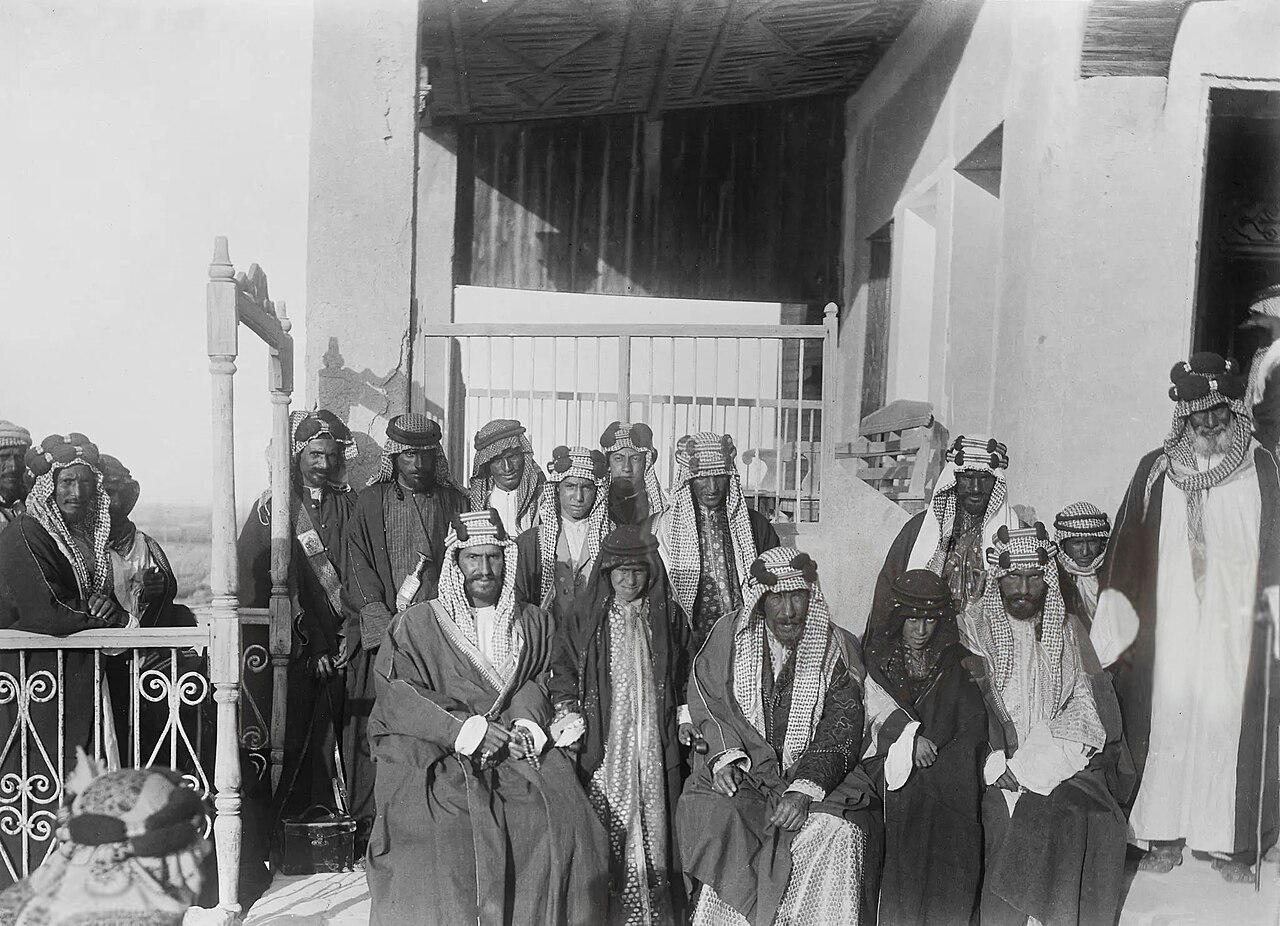
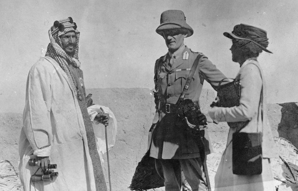
Browse all 41 →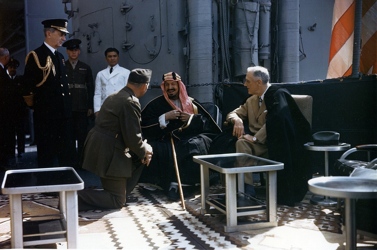 Photograph
Primary source
Roosevelt with King Ibn Saud aboard USS Quincy
U.S. Army Signal Corps · 14 February 1945
Primary source
Treaty of Darin
26 December 1915
 Document
Primary source
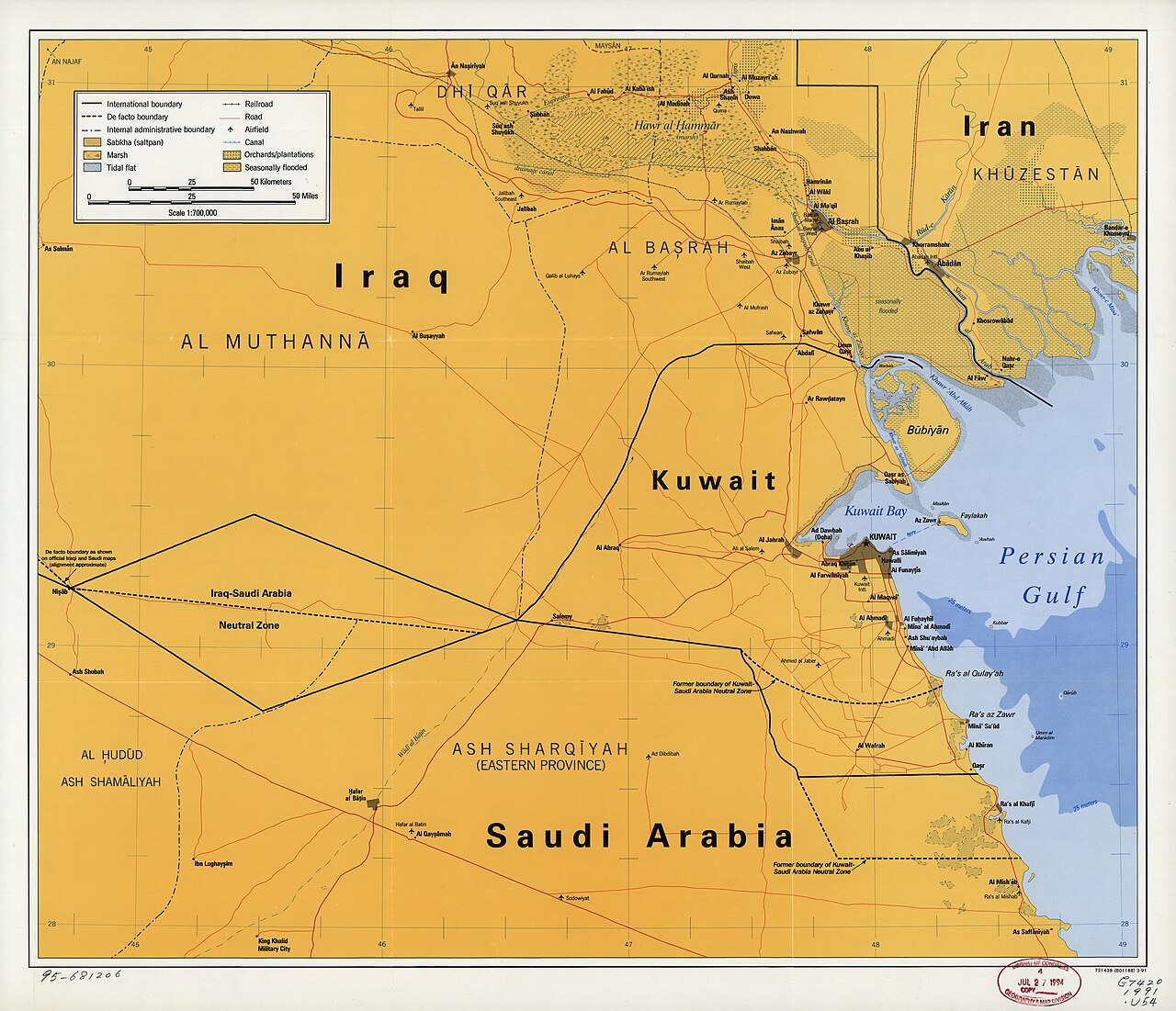
Uqair Protocol of 1922
2 December 1922
 Artifact
Secondary source
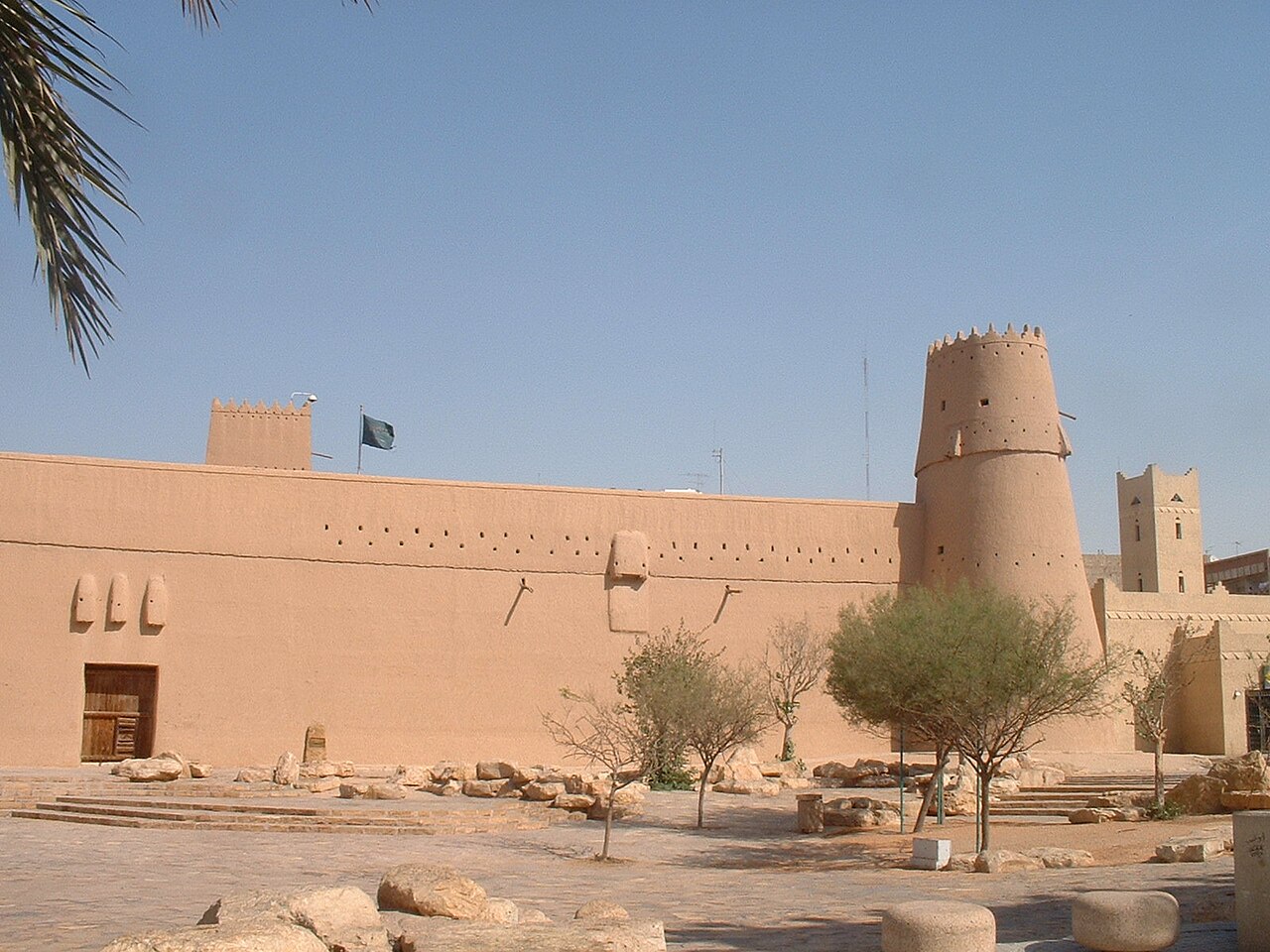
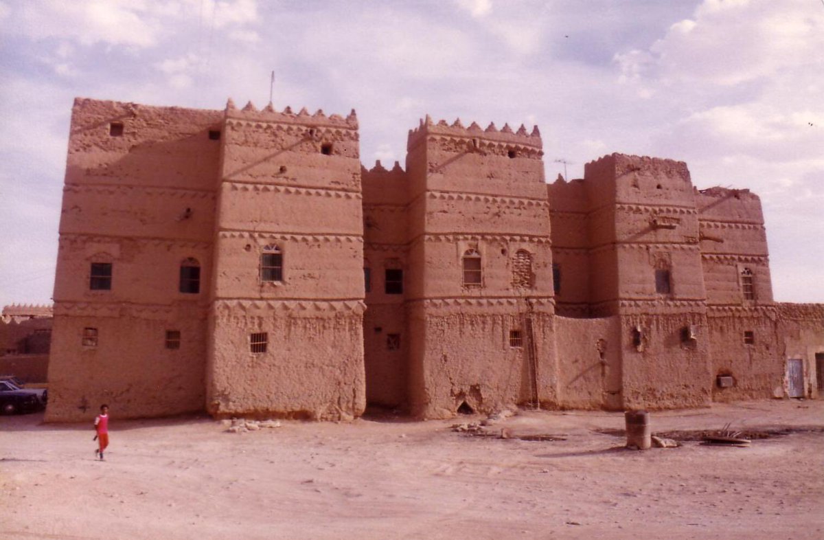
Masmak Fort
1865 (completed 1895)
Free account
Read every Ibn Saud source
Sign up free →
Ready when you are
Start chatting with Ibn Saud now.
20 messages free · No credit card · Available in 50+ languages.