


Primary sourceDocument1685
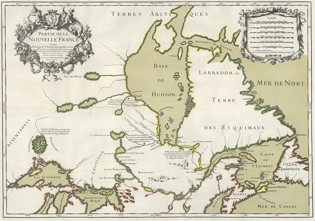
Partie de la Nouvelle France
Hubert Jaillot · 1685
A 1685 French map of New France showing the regional geography of the era in which Jolliet traveled and explored.
This 1685 map shows the geography of New France during the period of Jolliet's explorations in the region.
About this source
What it is
This is a hand-colored map titled 'Partie de la Nouvelle France,' drawn by Hubert Jaillot and printed in Paris in 1685. It shows Hudson Bay, Labrador, Lake Superior, the Gulf of St. Lawrence, and surrounding regions, with decorative cartouches and labels such as 'Terres Arctiques' and 'Mer de Nort.'
Why it matters
This map reflects French geographic knowledge of New France during the period of Louis Jolliet's explorations, though it is not directly tied to him in the record. Jaillot based parts of his map on English surveys of Hudson Bay and earlier Jesuit mapping of Lake Superior, showing how cartography of this period combined many sources. The map was widely copied by later mapmakers.
Look closer
- What regions does the map emphasize, and what might that tell you about French interests at the time?
- How might this map help you understand the world Jolliet traveled through?
- Why do you think this map was copied by so many later draughtsmen?
This document is part of the curated material that grounds the AI version of Louis Jolliet on Humy.ai — when students ask about related events, the AI can quote it and cite it.
More Louis Jolliet sources
Browse all 52 →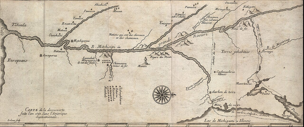 Document
Secondary source
Map of the Mississippi from the Marquette and Jolliet Expedition
Melchisédech Thévenot · c. 1681
 Book
Secondary source
Louis Jolliet, découvreur du Mississippi: étude biographique
Ernest Gagnon · 1913
 Document
Primary source
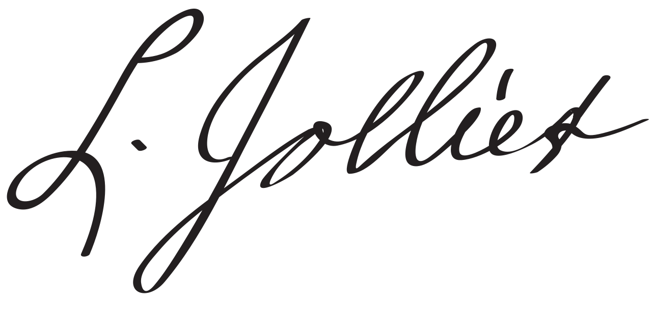
Signature of Louis Jolliet
Louis Jolliet
Secondary source
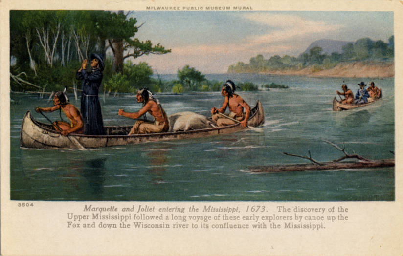
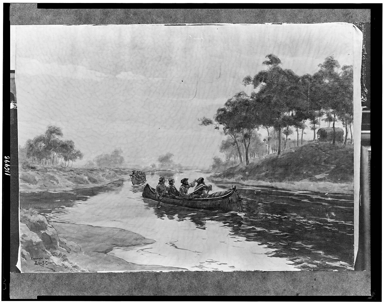
Early Narratives of the Northwest, 1634-1699
Louise Phelps Kellogg · 1917
Free account
Read every Louis Jolliet source
Sign up free →
Ready when you are
Start chatting with Louis Jolliet now.
20 messages free · No credit card · Available in 50+ languages.