


Primary sourcePainting1755
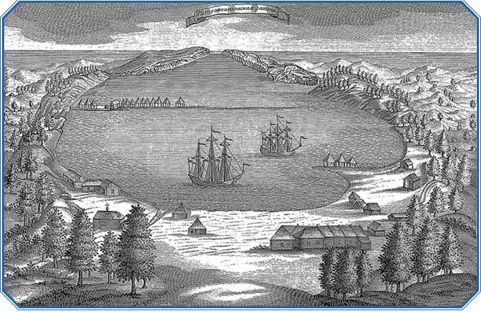
Petropavlovsk Harbour in the 1740s
Stepan Krasheninnikov · 1755
An 18th-century engraving showing the harbour founded during Bering's expeditions, with ships of Spangberg's squadron at anchor.
This engraving shows the harbour established during Bering's expeditions, central to his Pacific voyages.
About this source
What it is
This engraving was made by Stepan Krasheninnikov and published in 1755 as an illustration in his book "Description of the Land of Kamchatka." It shows Petropavlovsk harbour in the 1740s, with ships belonging to Martin Spangberg's squadron anchored offshore.
Why it matters
The harbour shown here was established during the Russian expeditions that Vitus Bering led, and became the base for exploring the North Pacific. The image, made by the scientist Krasheninnikov who studied Kamchatka, shows the human and physical setting of Bering's voyages.
Look closer
- What details in the image suggest this was a newly built outpost rather than an old town?
- Why might ships and buildings like these have been important for Bering's expeditions?
- What can't you learn about the expedition just from looking at this harbour scene?
This painting is part of the curated material that grounds the AI version of Vitus Bering on Humy.ai — when students ask about related events, the AI can quote it and cite it.
More Vitus Bering sources
Browse all 70 →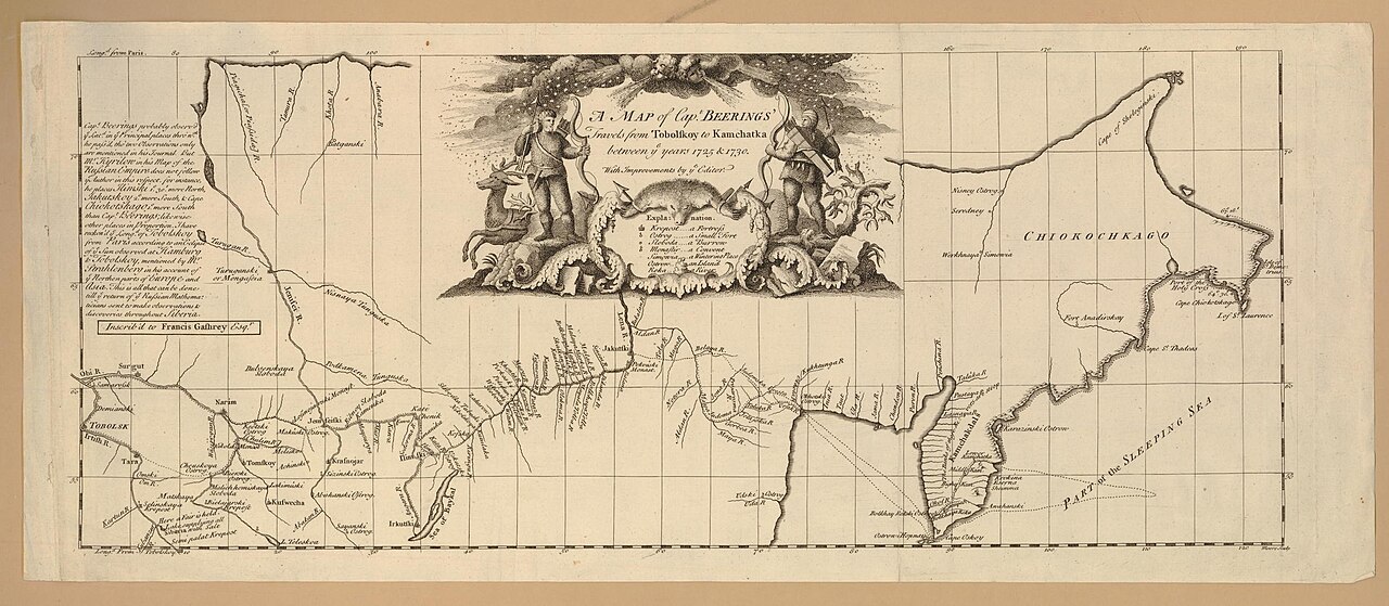 Document
Secondary source
Map of Captain Beerings' Travels from Tobolskoy to Kamchatka
between 1725 and 1730 (printed later)
 Book
Secondary source
Bering's Voyages: An Account of the Efforts of the Russians to Determine the Relation of Asia and America
Frank A. Golder · 1922–1925
 Book
Secondary source
Vitus Bering: the Discoverer of Bering Strait
Peter Lauridsen · 1889
Primary source
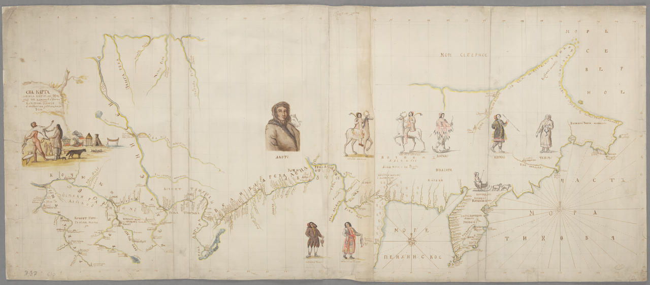
Early Expeditions to the Region of Bering Sea and Strait
Vitus Bering · 1891 (translation of earlier reports)
Free account
Read every Vitus Bering source
Sign up free →
Ready when you are
Start chatting with Vitus Bering now.
20 messages free · No credit card · Available in 50+ languages.