


Secondary sourceDocument1859
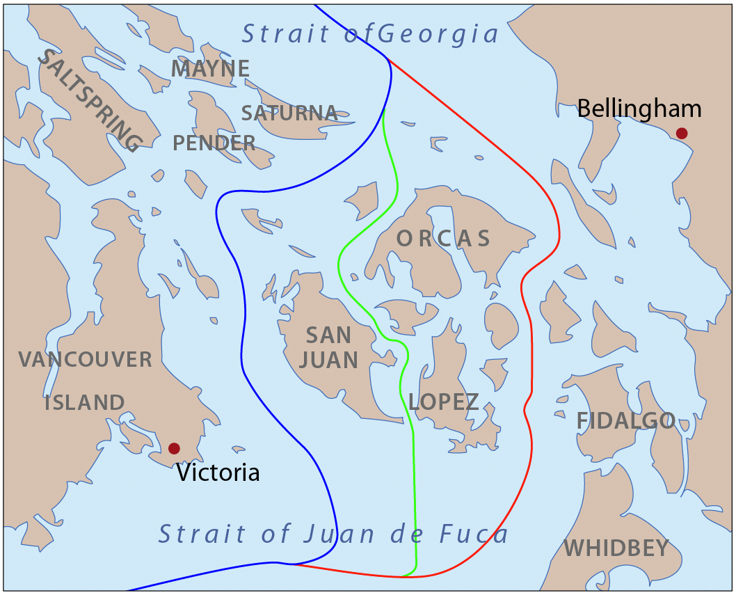
Pig War Boundary Map
Pfly · 1859
A map illustrating the disputed U.S.–British border around the San Juan Islands, a dispute later settled by Wilhelm I's 1872 arbitration.
Wilhelm I's 1872 arbitration decision resolved this dispute, awarding the San Juan Islands to the United States.
About this source
What it is
This is a modern map created to show the disputed boundary lines between the United States and Britain around the San Juan Islands, the site of the 1859 'Pig War' standoff. The dispute arose from ambiguous wording in the 1846 Oregon Treaty about which strait marked the true boundary.
Why it matters
The Pig War shows how colonial boundary disputes could nearly cause conflict over unclear treaty language. The dispute was eventually resolved peacefully when Wilhelm I of Germany, acting as an arbitrator, issued a decision in 1872 awarding the islands to the United States. This shows Wilhelm's role as a respected international arbiter beyond his own empire.
Look closer
- Why might two countries ask a third ruler, rather than fight, to settle a border dispute?
- What does the map show about why the wording of a treaty can cause real conflict?
- What does it suggest about international politics that an emperor could be trusted to arbitrate?
This document is part of the curated material that grounds the AI version of Wilhelm I on Humy.ai — when students ask about related events, the AI can quote it and cite it.
More Wilhelm I sources
Browse all 95 →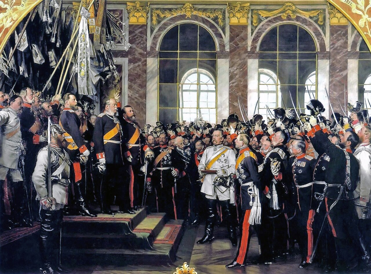 Painting
Secondary source
Proclamation of the German Empire at Versailles
Anton von Werner · 1885
 Document
Primary source
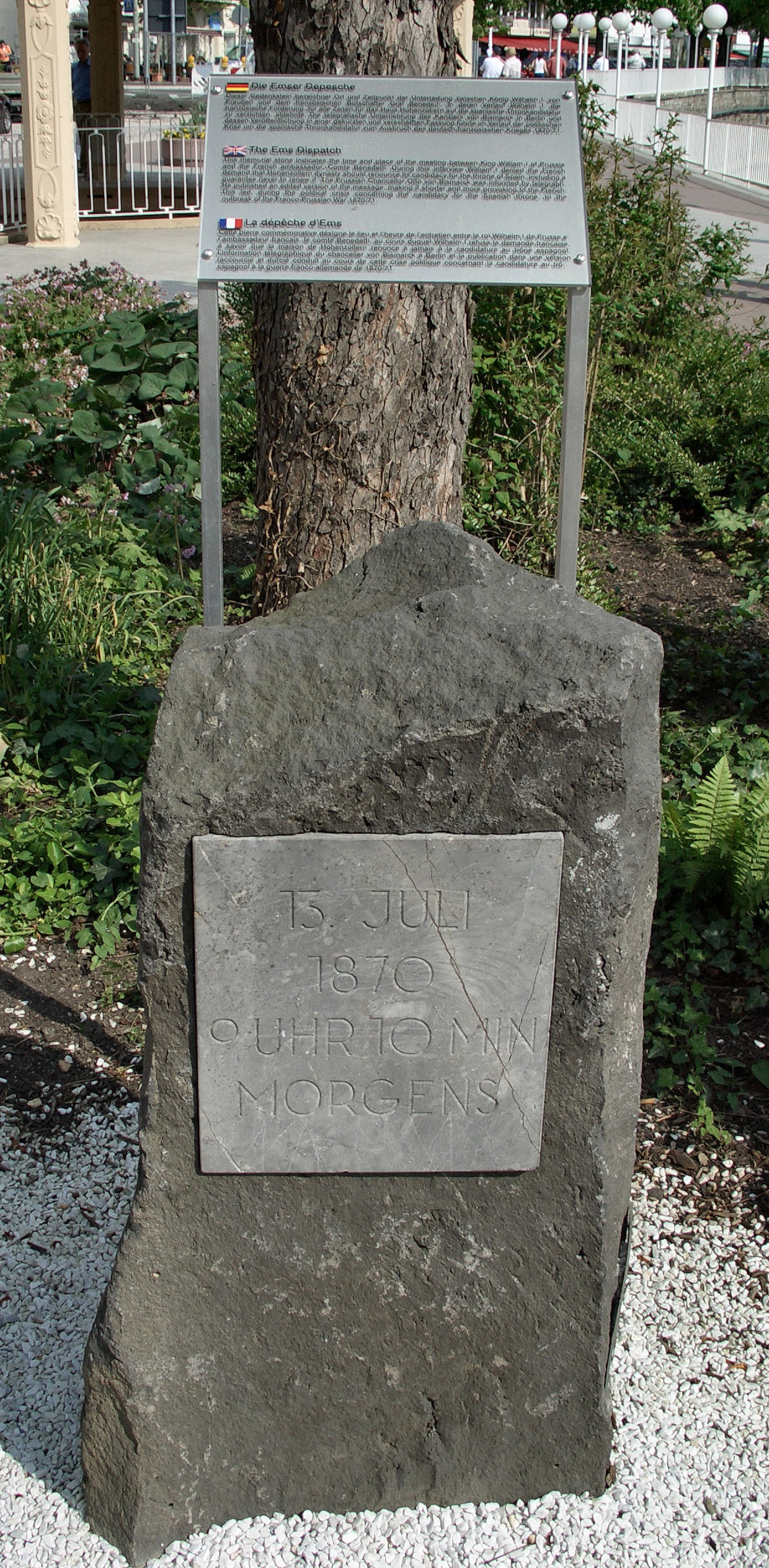
Ems Dispatch
Otto von Bismarck · 13 July 1870
 Document
Primary source
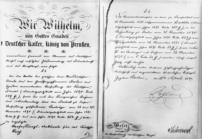
Constitution of the German Empire
4 May 1871
 Document
Primary source
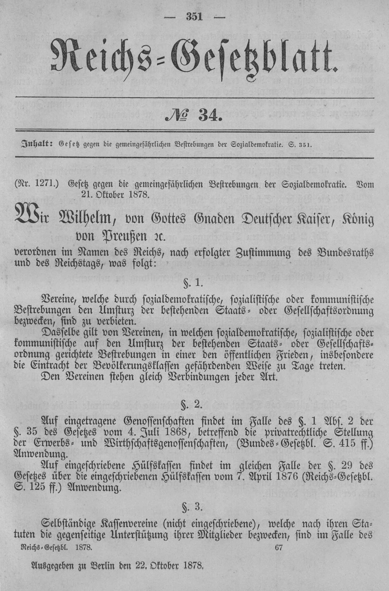
Anti-Socialist Law
21 October 1878
Free account
Read every Wilhelm I source
Sign up free →
Ready when you are
Start chatting with Wilhelm I now.
20 messages free · No credit card · Available in 50+ languages.