


Primary sourceArtifactc. 1520
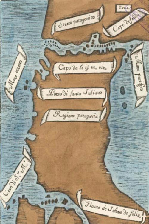
Pigafetta's First Map of the Strait of Magellan
Antonio Pigafetta · c. 1520
An early hand-colored map of the Strait of Magellan, drawn around 1520 by Antonio Pigafetta, who sailed with Magellan on the voyage.
A map drawn during Magellan's own expedition, recording the strait his fleet discovered and named after him.
About this source
What it is
This is a hand-colored map drawn around 1520 by Antonio Pigafetta, an Italian scholar who sailed on Magellan's expedition. It shows southern South America and labels the Strait of Magellan, along with places such as the Pacific and Atlantic oceans, the region of Patagonia, and other landmarks named during the voyage.
Why it matters
Pigafetta made this map while traveling with Magellan's fleet, making it a rare firsthand record created during the actual voyage rather than afterward. It captures the moment Europeans first charted this passage between oceans, connecting Magellan's expedition directly to the new geographic knowledge it produced.
Look closer
- What do the place names on the map tell you about who was naming these lands, and whose perspective is missing?
- Why would a mapmaker who traveled with the expedition be a valuable source?
- What might be inaccurate or incomplete about a map made without modern tools?
This artifact is part of the curated material that grounds the AI version of Ferdinand Magellan on Humy.ai — when students ask about related events, the AI can quote it and cite it.
More Ferdinand Magellan sources
Meet the AI Ferdinand Magellan →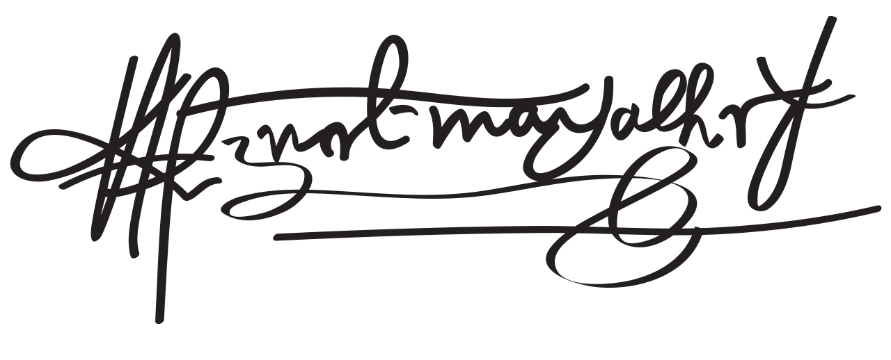 Document
Primary source
Signature of Ferdinand Magellan
Ferdinand Magellan
 Book
Secondary source
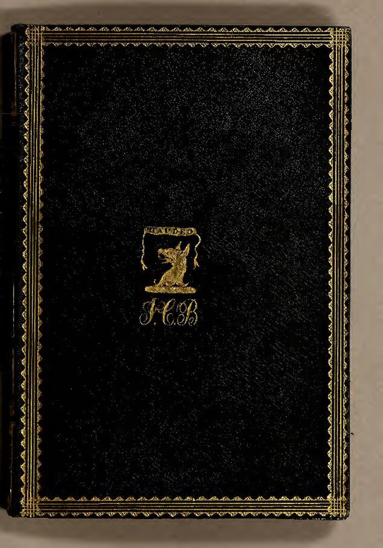
De Moluccis Insulis
Maximilianus Transylvanus · 1523
 Artifact
Secondary source
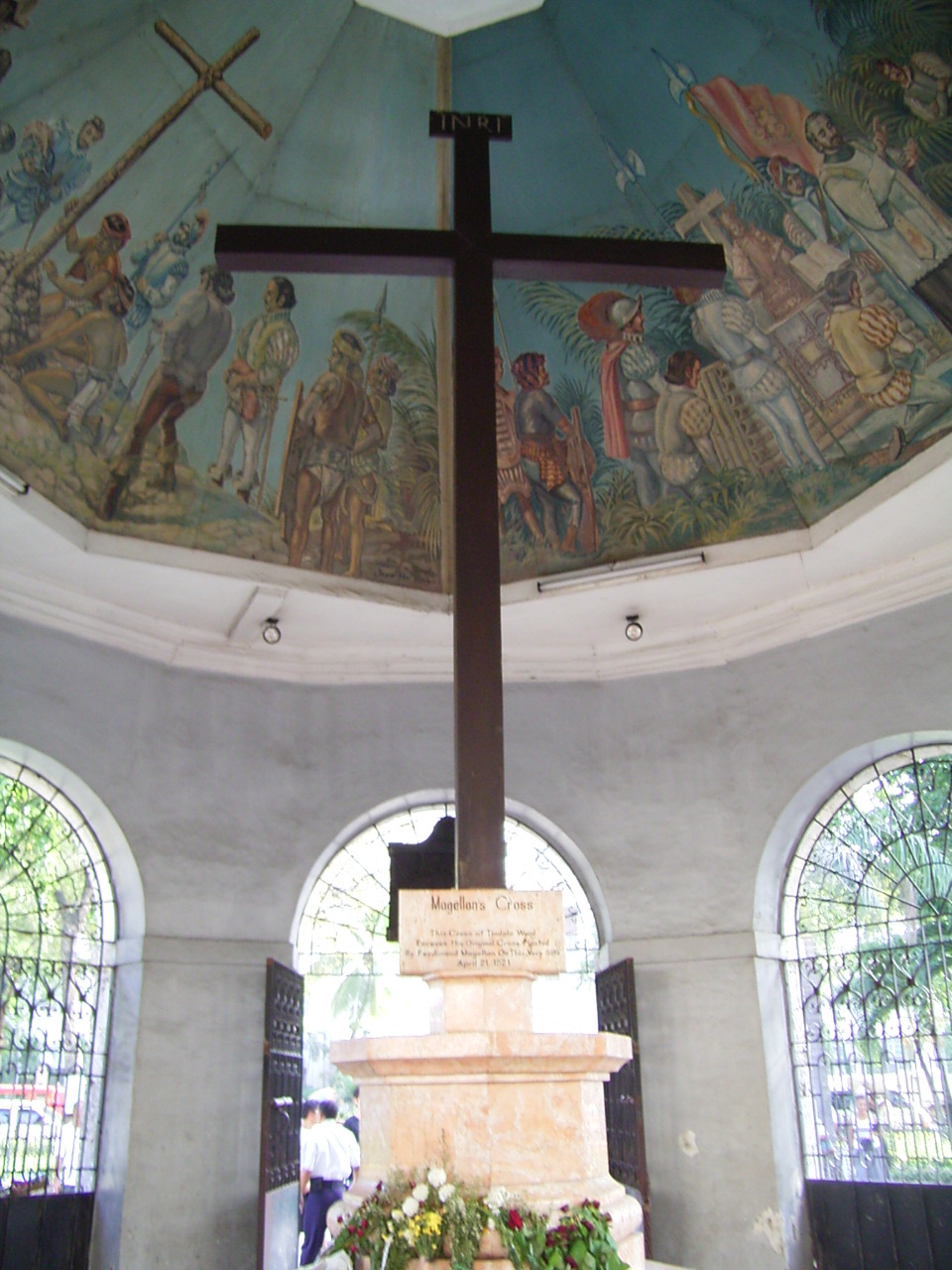
Magellan's Cross
planted April 1521; present cross 1835
 Sculpture
Primary source
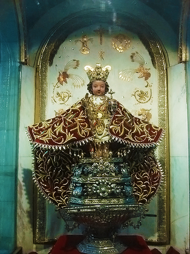
Santo Niño de Cebú
1519
 Painting
Secondary source
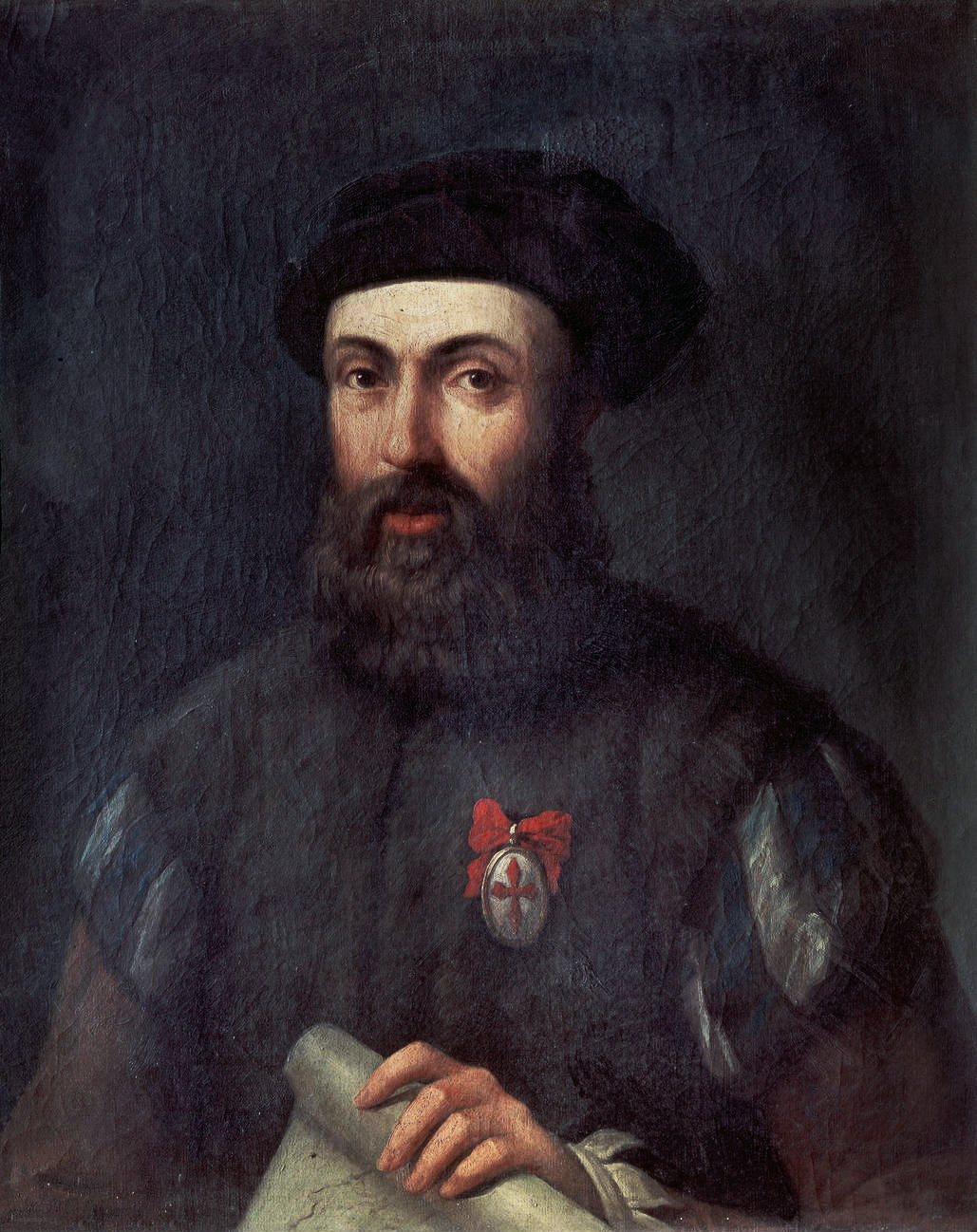
Portrait of Ferdinand Magellan
Unknown, after the school of Ángel Broncino
Ready when you are
Start chatting with Ferdinand Magellan now.
20 messages free · No credit card · Available in 50+ languages.