


Primary sourceDocument1521
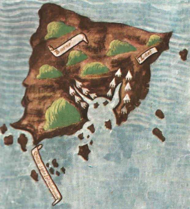
Pigafetta's map of Borneo
Antonio Pigafetta · 1521
A hand-colored early map of Borneo drawn by Antonio Pigafetta during Magellan's expedition. It records places the voyage reached.
Pigafetta drew this map during the expedition Magellan led, so it shows the voyage's reach from inside the fleet.
About this source
What it is
This is a hand-colored early map of Borneo, drawn by Antonio Pigafetta during the expedition. It shows a brown island with green hills and white mountain peaks on blue, wavy sea, with scroll labels reading Borneo and Lozon. The record dates it to 1521 and describes it as a primary source.
Why it matters
Pigafetta travelled with Ferdinand Magellan's fleet, which was sailing in the service of Spain. This map shows the places the voyage reached and how one member of the expedition chose to record them. It is a single sheet made by one person, so it reflects his view of the places he saw rather than a complete survey of the island.
Look closer
- Which features of the island are drawn in detail, and which parts seem simplified?
- Why might a member of the voyage have chosen to show mountains and place names on this map?
- What does the map leave out, such as the people who lived on the island or places the fleet did not reach?
This document is part of the curated material that grounds the AI version of Ferdinand Magellan on Humy.ai — when students ask about related events, the AI can quote it and cite it.
More Ferdinand Magellan sources
Meet the AI Ferdinand Magellan →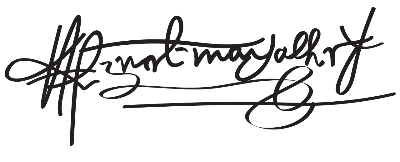 Document
Primary source
Signature of Ferdinand Magellan
Ferdinand Magellan
 Book
Secondary source
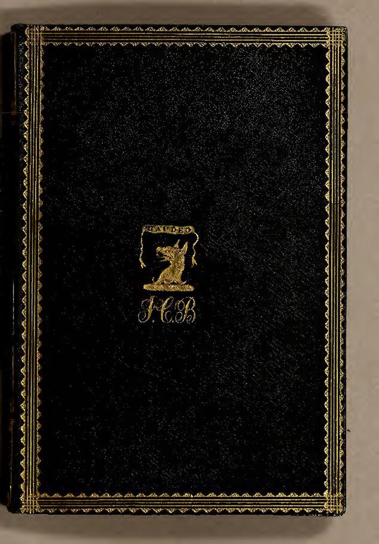
De Moluccis Insulis
Maximilianus Transylvanus · 1523
 Artifact
Secondary source
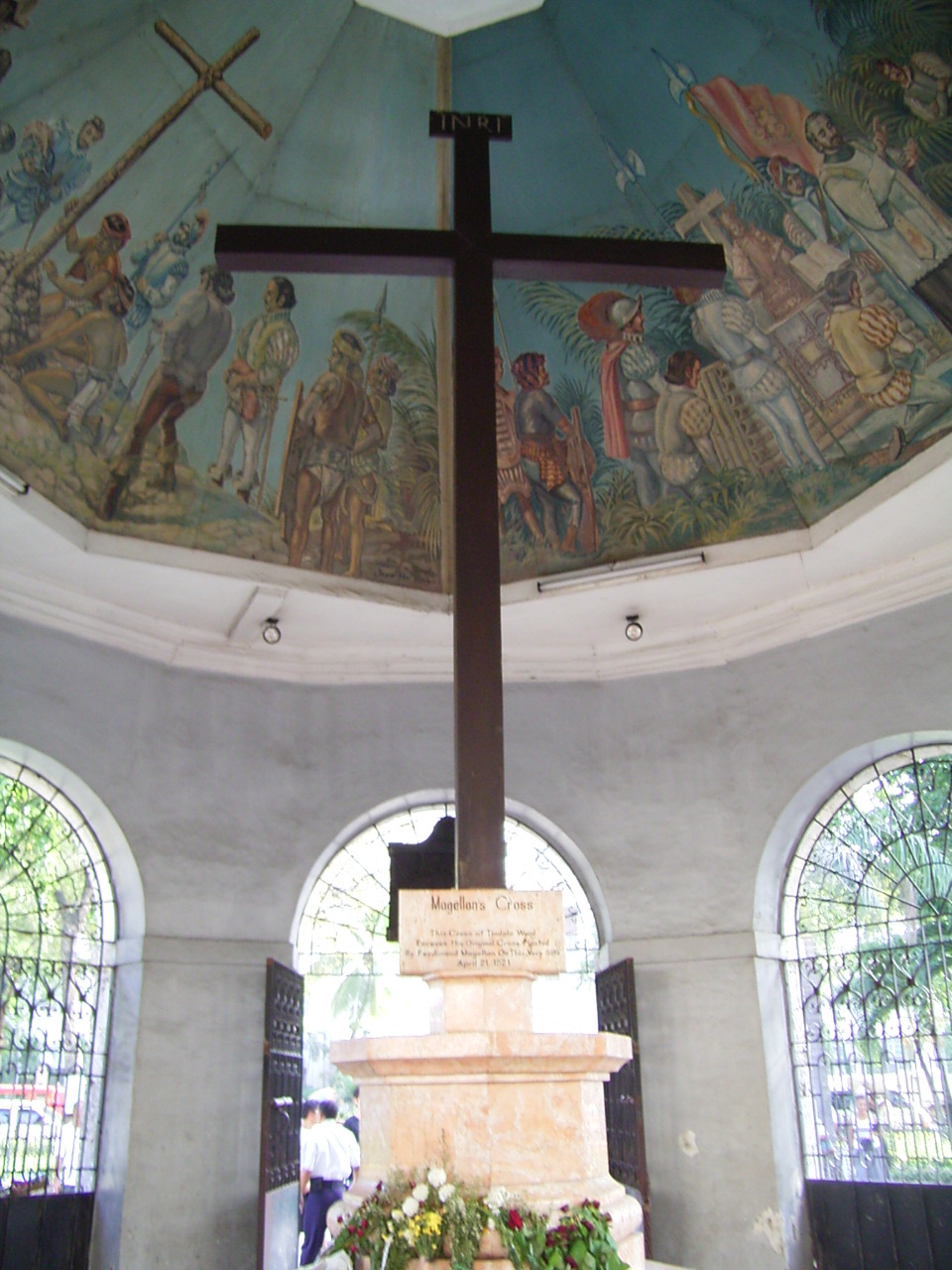
Magellan's Cross
planted April 1521; present cross 1835
 Sculpture
Primary source
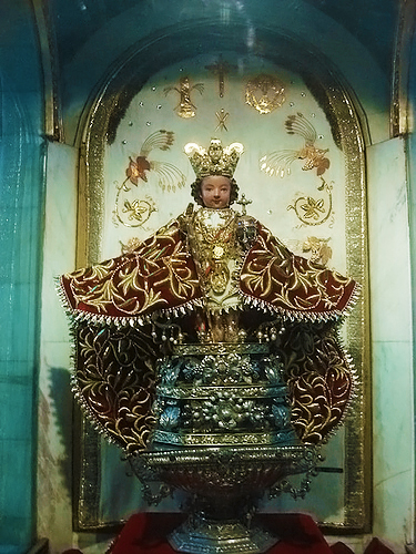
Santo Niño de Cebú
1519
 Painting
Secondary source
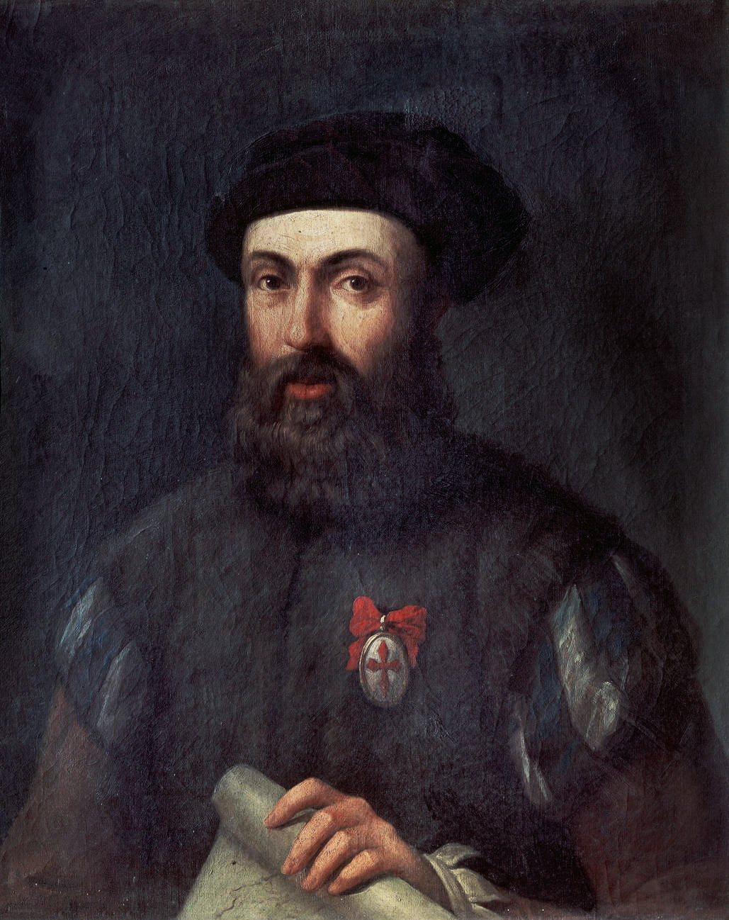
Portrait of Ferdinand Magellan
Unknown, after the school of Ángel Broncino
Ready when you are
Start chatting with Ferdinand Magellan now.
20 messages free · No credit card · Available in 50+ languages.