


Secondary sourceArtifact2022-06-09
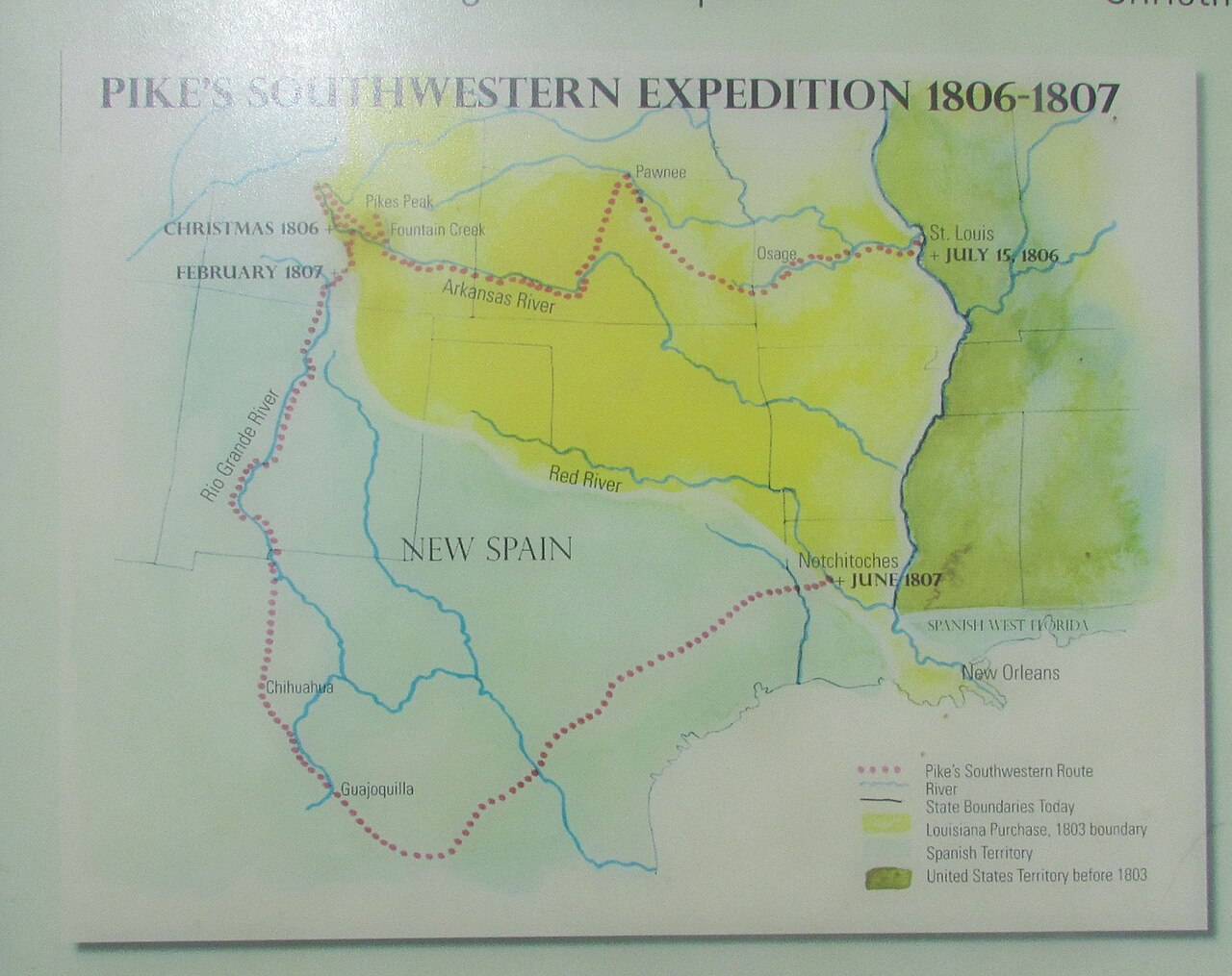
Pike's Southwestern Expedition Route Map
Chris Light · 2022-06-09
A modern map illustrating the route of Zebulon Pike's 1806-1807 expedition through various territories.
This map illustrates the geographical context of Pike's expedition, highlighting significant locations relevant to his explorations.
About this source
What it is
This is a contemporary map created in 2022 that outlines the route taken during Zebulon Pike's expedition from July 1806 to July 1807. The map details Pike's journey from St. Louis, through various key locations, including Pawnee, Pikes Peak, and down to New Orleans.
Why it matters
This map serves as an educational tool to visualize the extent of Pike's exploration and its historical context within the framework of American expansion and relations with Spanish territories. It emphasizes the geographical and political landscape of the time.
Look closer
- What can we learn about the significance of the locations marked on this map?
- How does this map represent the complexities of territorial claims during this period?
- What might be missing from this representation of Pike's expedition?
This artifact is part of the curated material that grounds the AI version of Zebulon Pike on Humy.ai — when students ask about related events, the AI can quote it and cite it.
More Zebulon Pike sources
Browse all 48 →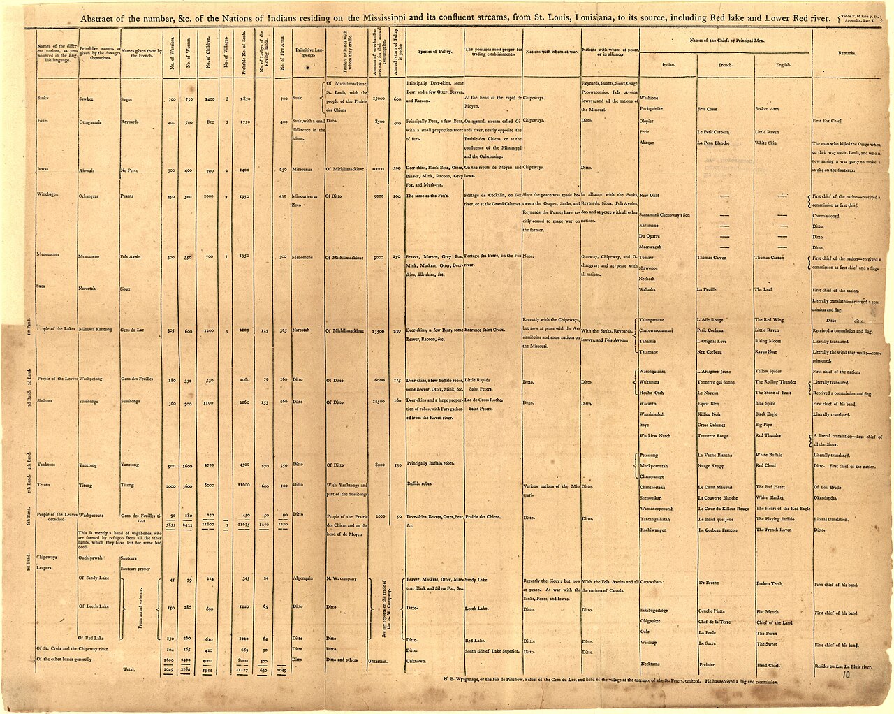 Book
Primary source
An Account of Expeditions to the Sources of the Mississippi, and through the Western Parts of Louisiana
Zebulon Montgomery Pike · 1810
 Artifact
Secondary source
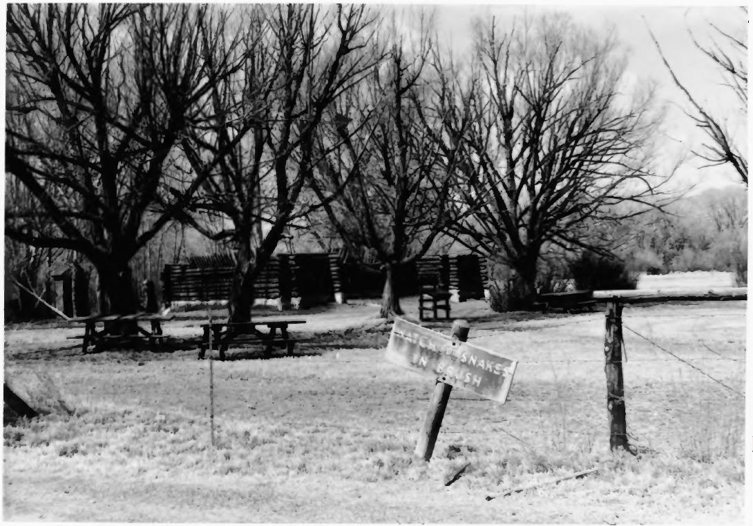
Pike's Stockade
Zebulon Pike's expedition · 1807 (reconstructed later)
 Painting
Primary source
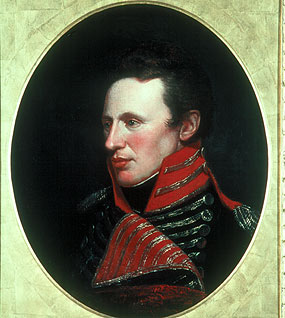
Portrait of Zebulon Pike
Charles Willson Peale
 Artifact
Primary source
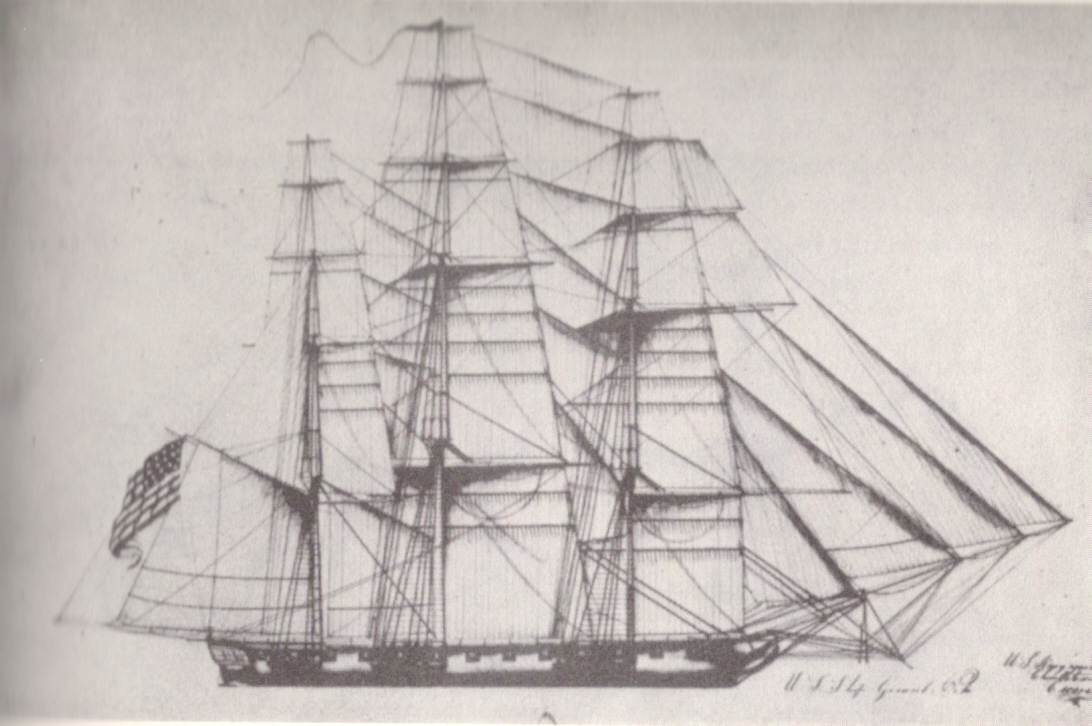
A Chart of the Internal Part of Louisiana
Zebulon Pike · 1810
Free account
Read every Zebulon Pike source
Sign up free →
Ready when you are
Start chatting with Zebulon Pike now.
20 messages free · No credit card · Available in 50+ languages.