


Secondary sourcePhotograph18 June 1914
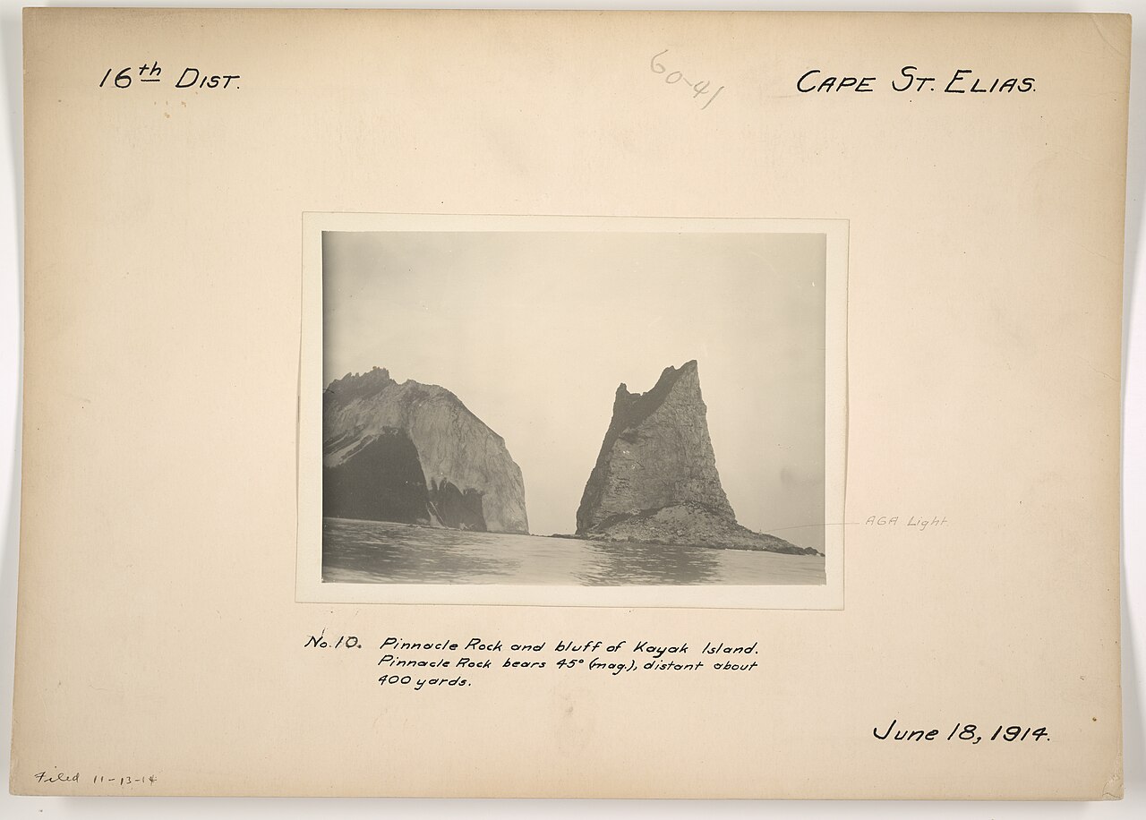
Pinnacle Rock and Bluff of Kayak Island
Department of Commerce. Bureau of Lighthouses · 18 June 1914
A 1914 survey photograph of Kayak Island, near the area where Bering's expedition is said to have landed in 1741.
Shows Kayak Island, near Cape St. Elias, the area associated with Bering's 1741 landing in Alaska.
About this source
What it is
This 1914 photograph was taken by the U.S. Department of Commerce's Bureau of Lighthouses as part of a survey of the Cape St. Elias district. It shows a rocky bluff and a tall pinnacle rock on Kayak Island, Alaska, with navigational details noted in the caption.
Why it matters
Kayak Island lies near Cape St. Elias, the area associated with Vitus Bering's 1741 landing in Alaska. This later photograph was made for practical, navigational purposes rather than to record history, but it shows the landscape that has long been connected with Bering's voyage.
Look closer
- Why might this photograph include precise compass and distance measurements?
- What does the choice of subject tell you about who made this photograph and why?
- How does this image compare with what you imagine Bering's crew might have seen in 1741?
This photograph is part of the curated material that grounds the AI version of Vitus Bering on Humy.ai — when students ask about related events, the AI can quote it and cite it.
More Vitus Bering sources
Browse all 70 →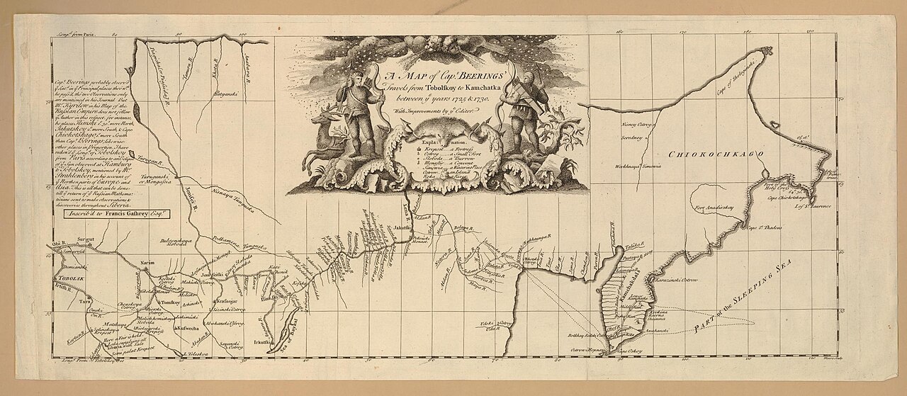 Document
Secondary source
Map of Captain Beerings' Travels from Tobolskoy to Kamchatka
between 1725 and 1730 (printed later)
 Book
Secondary source
Bering's Voyages: An Account of the Efforts of the Russians to Determine the Relation of Asia and America
Frank A. Golder · 1922–1925
 Book
Secondary source
Vitus Bering: the Discoverer of Bering Strait
Peter Lauridsen · 1889
Primary source
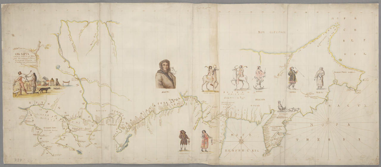
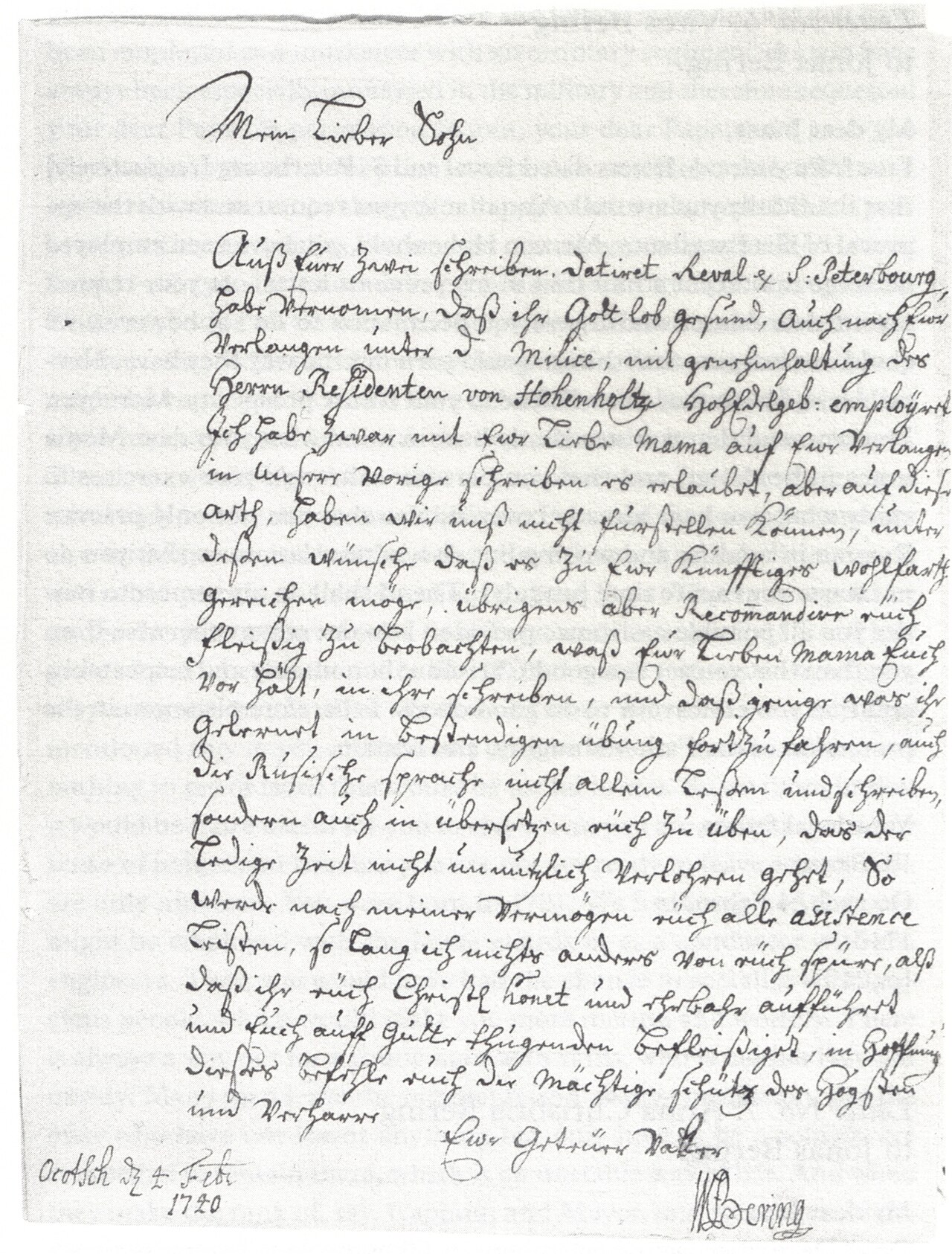
Early Expeditions to the Region of Bering Sea and Strait
Vitus Bering · 1891 (translation of earlier reports)
Free account
Read every Vitus Bering source
Sign up free →
Ready when you are
Start chatting with Vitus Bering now.
20 messages free · No credit card · Available in 50+ languages.