


Primary sourceArtifactfirst half of the 18th century
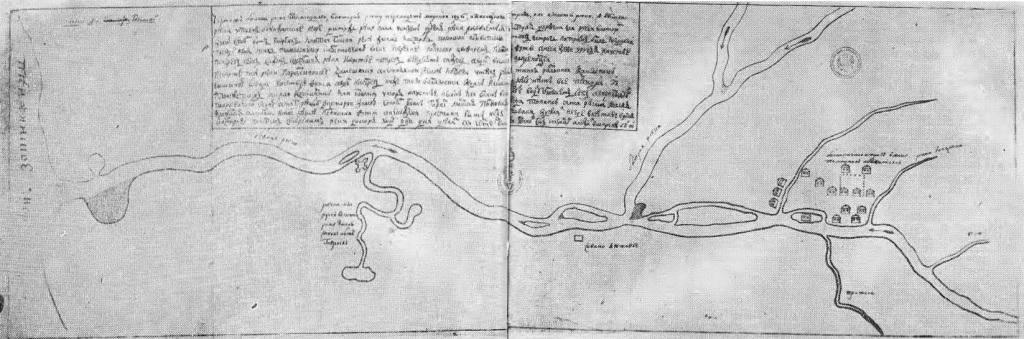
Plan of Bolsheretsk
V. I. Kazantsev · first half of the 18th century
An early 18th-century hand-drawn plan of Bolsheretsk, a Kamchatka settlement located along the route of Bering's expeditions.
Depicts a Kamchatka settlement along the route of Bering's expeditions, showing the region he explored.
About this source
What it is
This is a hand-drawn plan of the settlement of Bolsheretsk in Kamchatka, made by V. I. Kazantsev in the early 18th century. It shows a winding river with tributaries, clusters of buildings, and handwritten Cyrillic text.
Why it matters
Bolsheretsk lay along the route used during Vitus Bering's Siberian and Kamchatka expeditions. A plan like this shows how Russian officials and surveyors documented settlements in this remote region during the period of exploration, giving a sense of the small, isolated communities Bering's expeditions passed through or relied on.
Look closer
- What does the layout of buildings and the river tell you about why this settlement existed where it did?
- Why might a settlement like this have been important to a long-distance expedition?
- What is left out of this plan that might help us understand daily life there?
This artifact is part of the curated material that grounds the AI version of Vitus Bering on Humy.ai — when students ask about related events, the AI can quote it and cite it.
More Vitus Bering sources
Browse all 70 →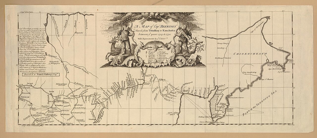 Document
Secondary source
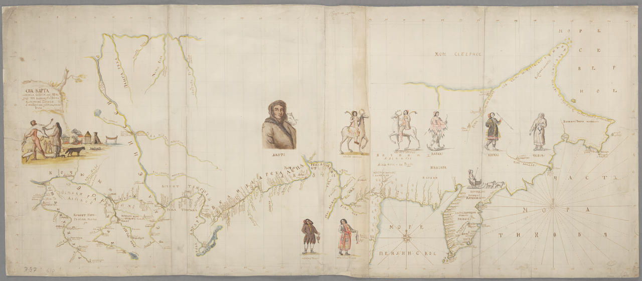
Map of Captain Beerings' Travels from Tobolskoy to Kamchatka
between 1725 and 1730 (printed later)
 Book
Secondary source
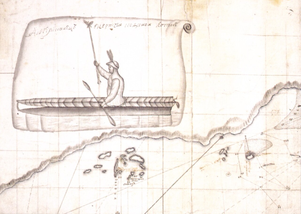
Bering's Voyages: An Account of the Efforts of the Russians to Determine the Relation of Asia and America
Frank A. Golder · 1922–1925
 Book
Secondary source
Vitus Bering: the Discoverer of Bering Strait
Peter Lauridsen · 1889
Primary source
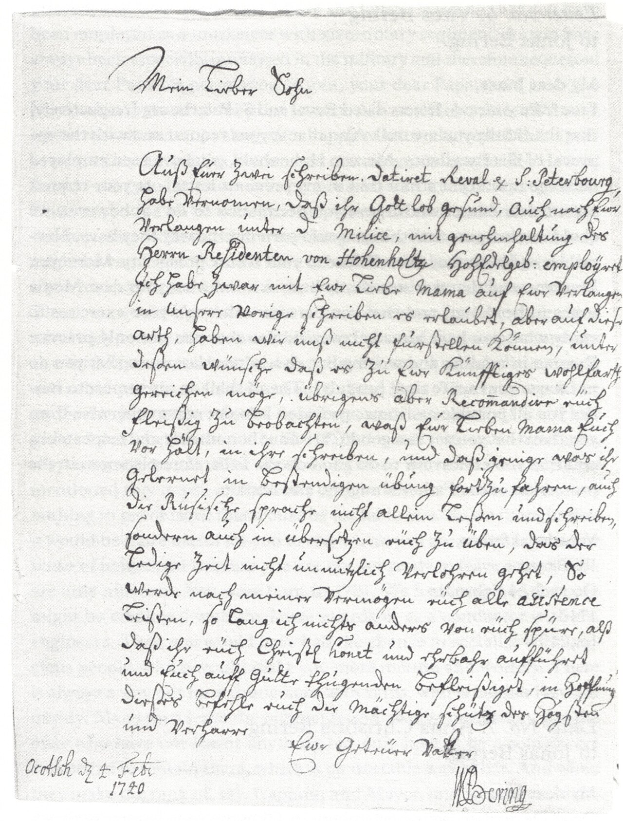
Early Expeditions to the Region of Bering Sea and Strait
Vitus Bering · 1891 (translation of earlier reports)
Free account
Read every Vitus Bering source
Sign up free →
Ready when you are
Start chatting with Vitus Bering now.
20 messages free · No credit card · Available in 50+ languages.