


Primary sourceDocument1777
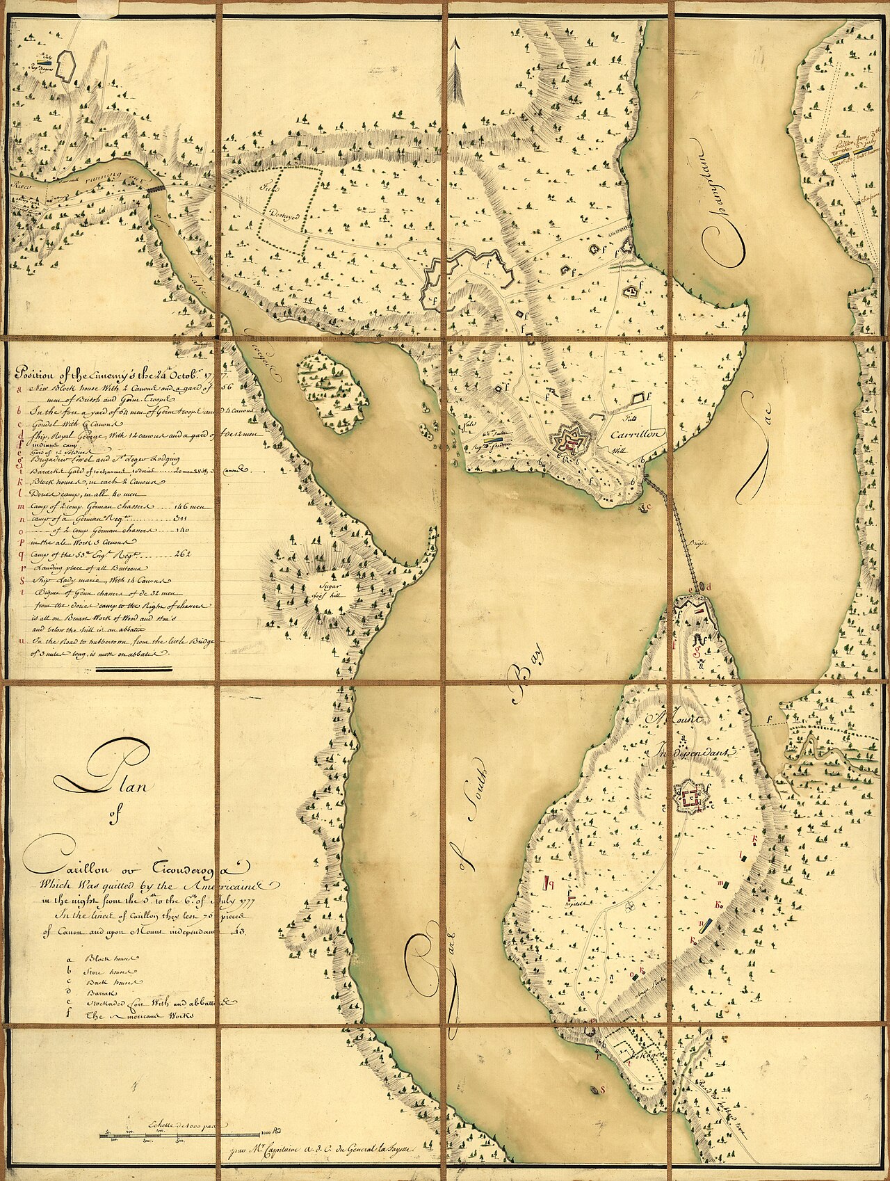
Plan of Carillon ou Ticonderoga, Evacuated by the Americans July 1777
Michel Capitaine Du Chesnoy · 1777
A French-made 1777 map of Fort Ticonderoga, the fort St. Clair's forces abandoned that same month.
Documents Fort Ticonderoga, the stronghold St. Clair's army abandoned in 1777, a decision that led to his court-martial.
About this source
What it is
This hand-drawn pen-and-ink and watercolor map shows Carillon, or Fort Ticonderoga, and the surrounding terrain, roads, and fortifications around the time of the Battle of Saratoga in October 1777. It was produced by Capitaine Du Chesnoy, who worked with the Marquis de Lafayette.
Why it matters
Fort Ticonderoga was evacuated by American forces under Arthur St. Clair's command in July 1777, a decision that caused public outrage and led to his court-martial. This French map, made soon after, documents the fort and the military situation in the region during that critical campaign.
Look closer
- Why might a French officer connected to Lafayette have made this map of an American fort?
- What do the detailed troop positions and fortifications suggest about why this location mattered strategically?
- What questions does this map raise about the decision to abandon Ticonderoga?
This document is part of the curated material that grounds the AI version of Arthur St. Clair on Humy.ai — when students ask about related events, the AI can quote it and cite it.
More Arthur St. Clair sources
Browse all 68 →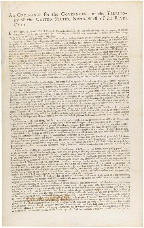 Document
Primary source
Northwest Ordinance
Confederation Congress · 13 July 1787
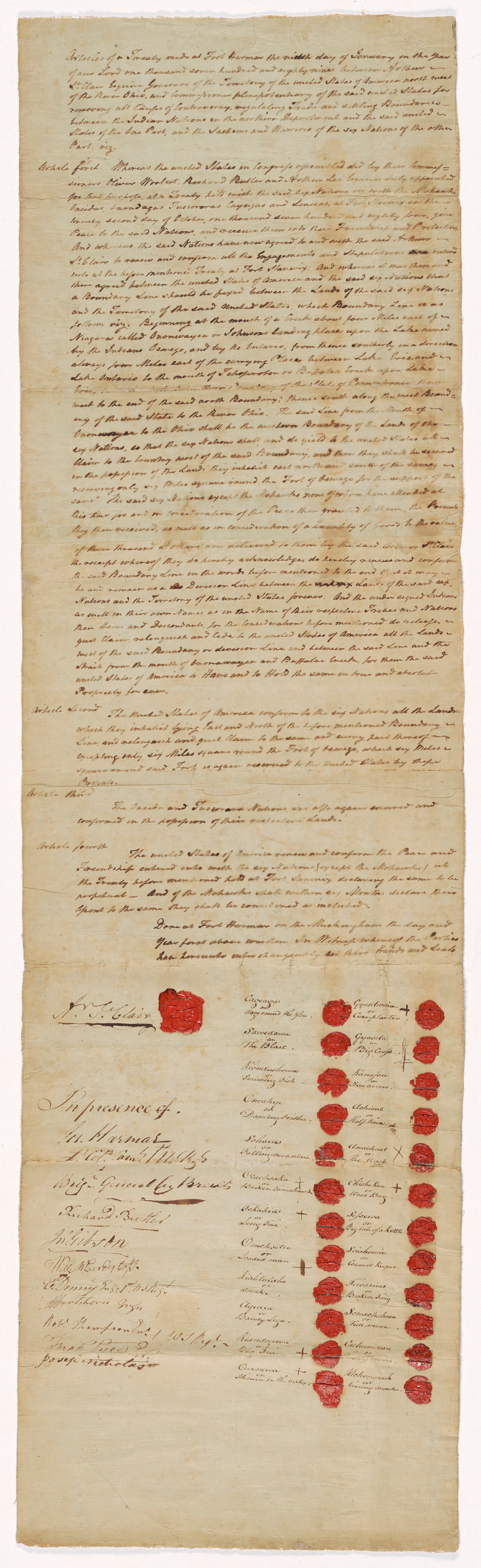 Document
Primary source
Treaty of Fort Harmar
9 January 1789
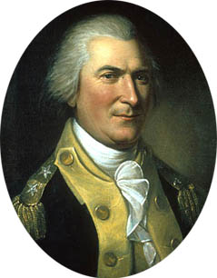 Painting
Primary source
Portrait of Arthur St. Clair
Charles Willson Peale · 1782
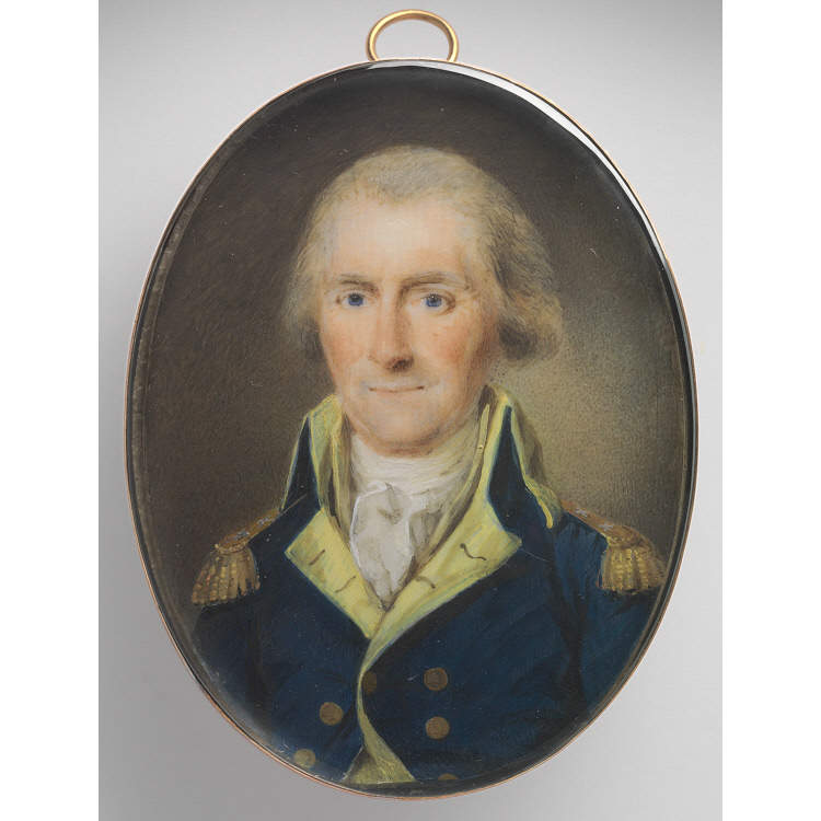 Painting
Primary source
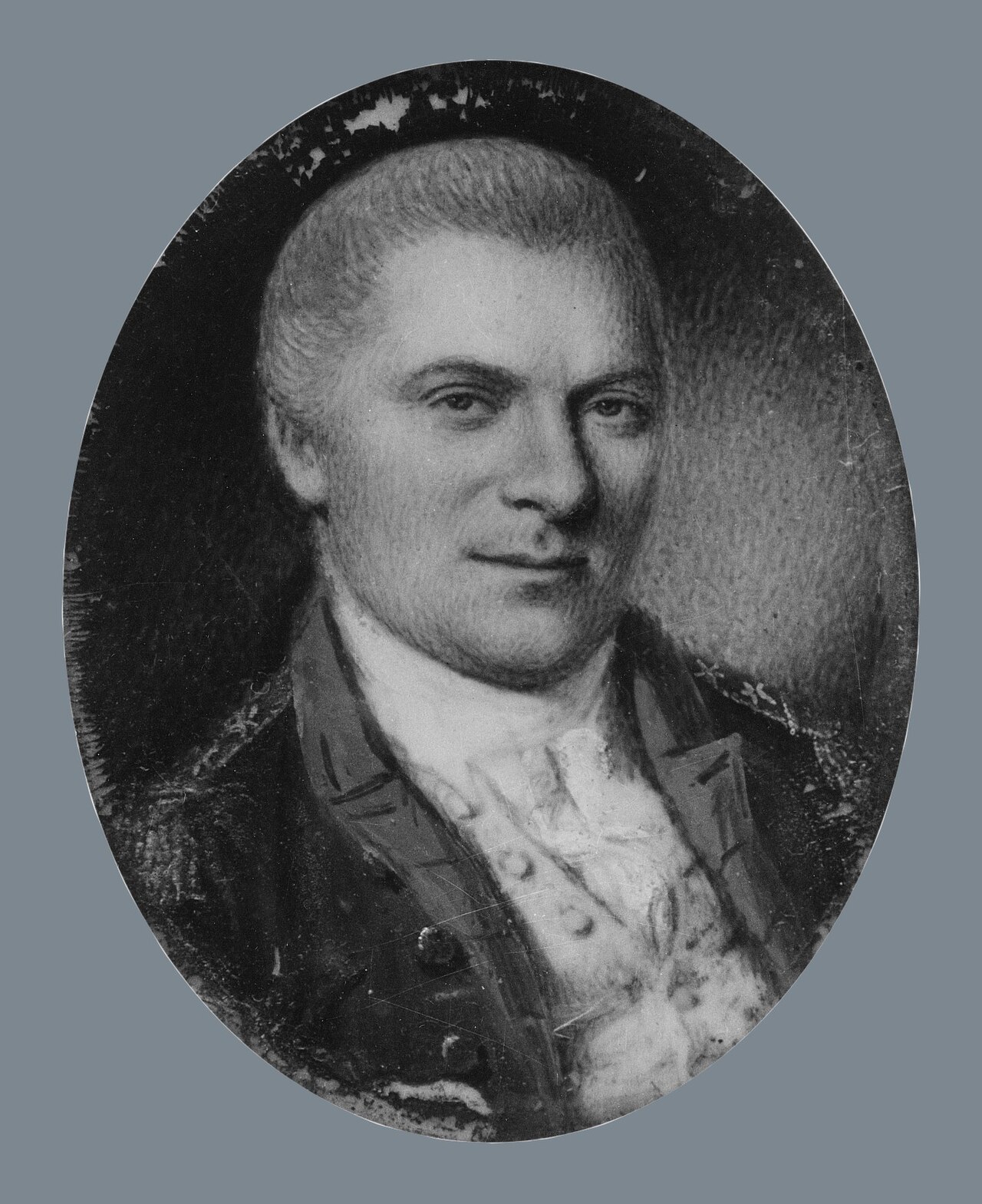
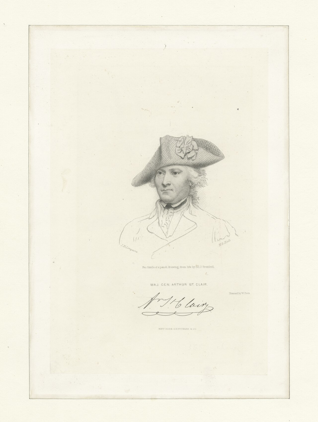
Arthur St. Clair
Henri Elouis · 1795

Free account
Read every Arthur St. Clair source
Sign up free →
Ready when you are
Start chatting with Arthur St. Clair now.
20 messages free · No credit card · Available in 50+ languages.