


Primary sourceDocument1866–1867
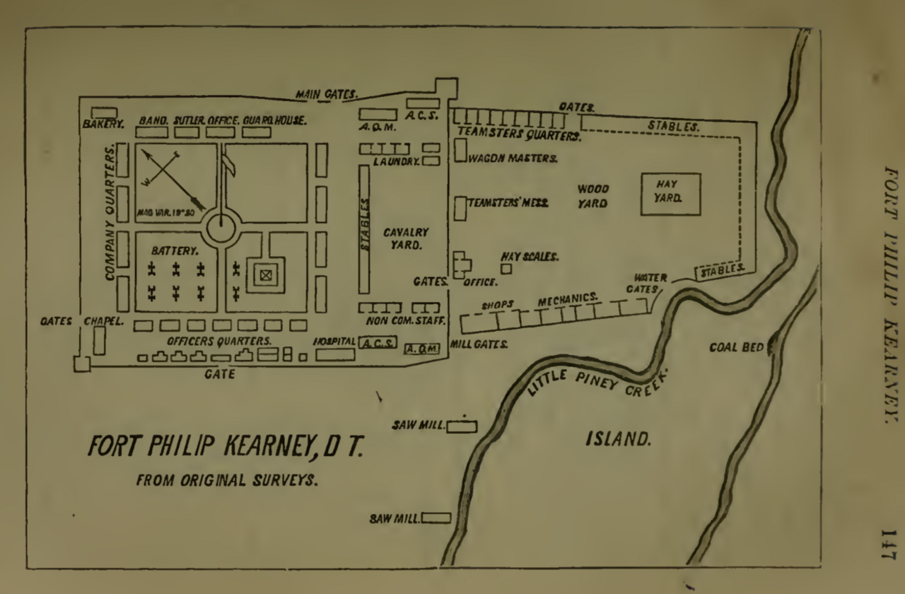
Plan of Fort Phil Kearny
U.S. Army · 1866–1867
An 1866–1867 U.S. Army map of Fort Phil Kearny, the Bozeman Trail fort whose abandonment Red Cloud demanded in his war against the United States.
This fort, besieged by Red Cloud's forces, was the main target of his war, and its abandonment was his key demand.
About this source
What it is
This is a U.S. Army plan of Fort Phil Kearny, drawn 1866–1867 and held by the U.S. National Archives. It shows the fort's layout, including buildings, gates, stables, and a creek, on land in present-day Wyoming along the Bozeman Trail.
Why it matters
Fort Phil Kearny was one of three army posts built to protect the Bozeman Trail through land defined by treaty as belonging to other peoples, provoking what became known as Red Cloud's War. Red Cloud led Lakota and allied Cheyenne resistance against the fort, and its eventual abandonment was a central demand in the peace that followed. This map shows the military side of the conflict Red Cloud is best remembered for.
Look closer
- What does the fort's design tell you about what the army expected from the surrounding land and peoples?
- Why would a map like this have been useful to soldiers, and why is it useful to historians today?
- What does the map leave out about the people living in and around this land?
This document is part of the curated material that grounds the AI version of Red Cloud on Humy.ai — when students ask about related events, the AI can quote it and cite it.
More Red Cloud sources
Browse all 70 →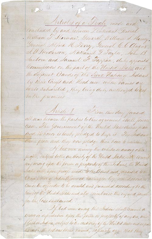 Document
Primary source
Fort Laramie Treaty
29 April 1868
 Document
Primary source
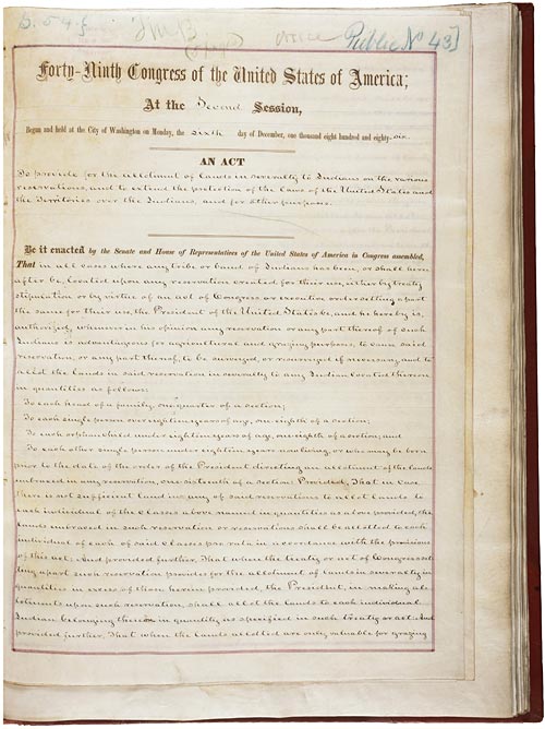
Dawes Act
Henry Dawes · 8 February 1887
 Photograph
Primary source
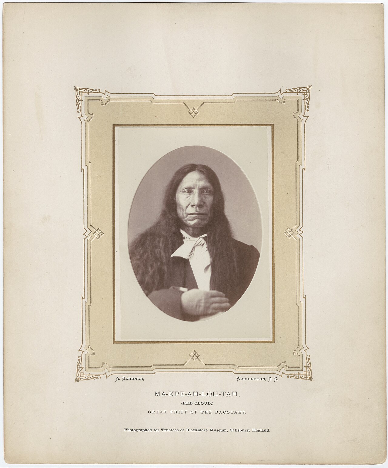
Red Cloud by Alexander Gardner, 1872
Alexander Gardner · 1872
 Photograph
Primary source
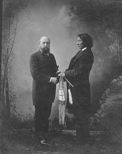
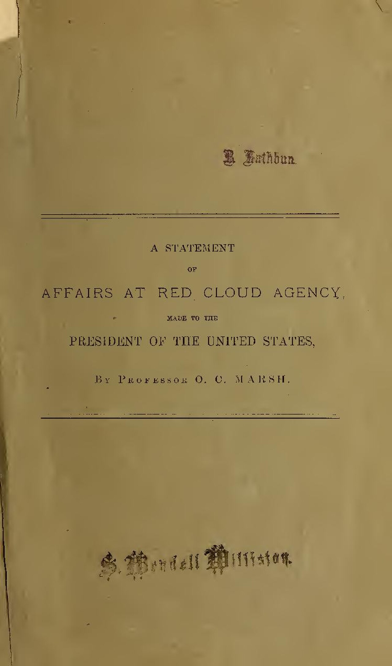
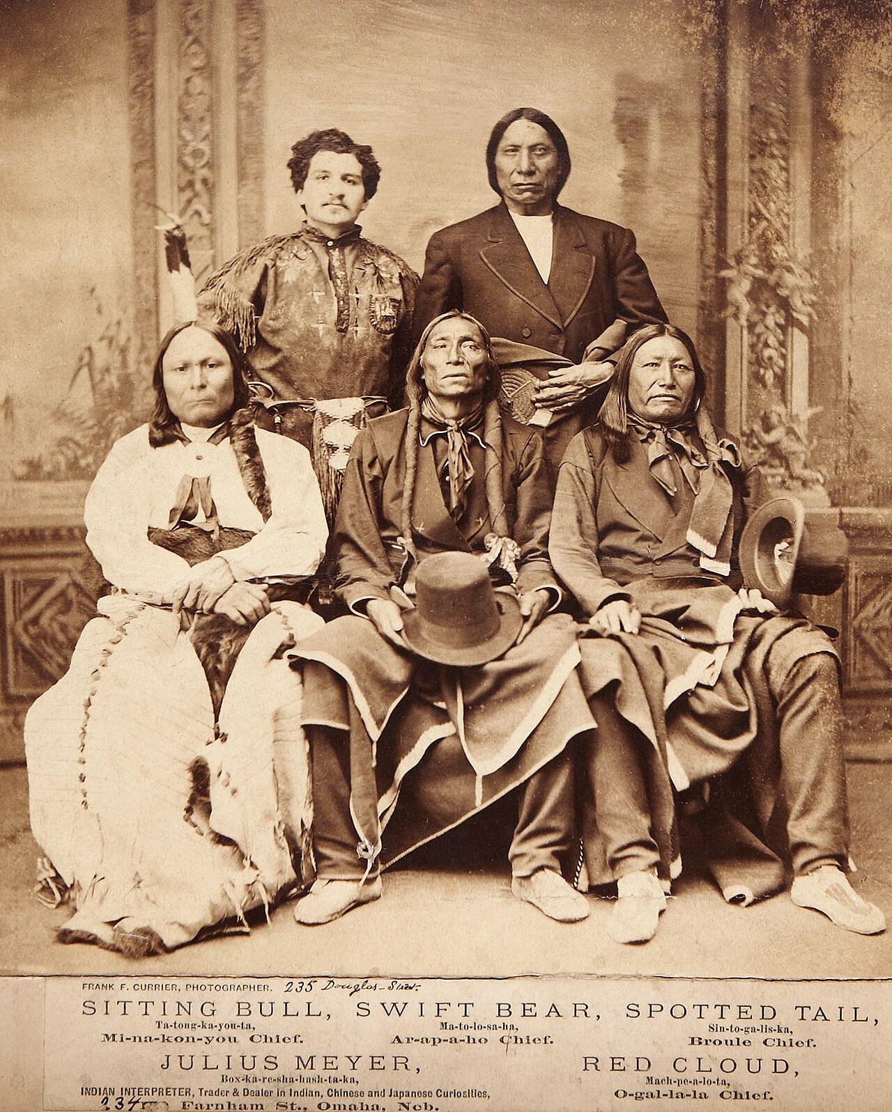
Othniel C. Marsh and Red Cloud in New Haven, Connecticut
Unknown

Free account
Read every Red Cloud source
Sign up free →
Ready when you are
Start chatting with Red Cloud now.
20 messages free · No credit card · Available in 50+ languages.