


Secondary sourceDocument2008 (copy of a 1904 original)
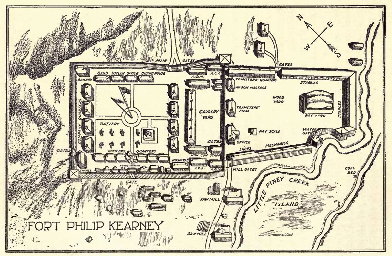
Plan of Fort Phil Kearny from Indian Fights and Fighters
Mike Cline · 2008 (copy of a 1904 original)
A later plan of the fort besieged during Red Cloud's War, redrawn from a 1904 book about Indian wars.
Depicts the fort besieged in the war Red Cloud fought to close the Bozeman Trail.
About this source
What it is
A line-drawing plan of Fort Phil Kearny, copied in 2008 from the 1904 book Indian Fights and Fighters, showing the fort's stockade, buildings, gates and the nearby Little Piney Creek.
Why it matters
This later plan helps readers picture the setting of the conflict between U.S. soldiers and the Lakota and allied forces led in part by Red Cloud, during the fight over the Bozeman Trail.
Look closer
- Why might a 1904 book still have been drawing this plan decades after the events?
- What details does the plan include about defense, and what does that suggest about the fort's purpose?
- What does this plan not tell you about the people who attacked or defended the fort?
This document is part of the curated material that grounds the AI version of Red Cloud on Humy.ai — when students ask about related events, the AI can quote it and cite it.
More Red Cloud sources
Browse all 70 →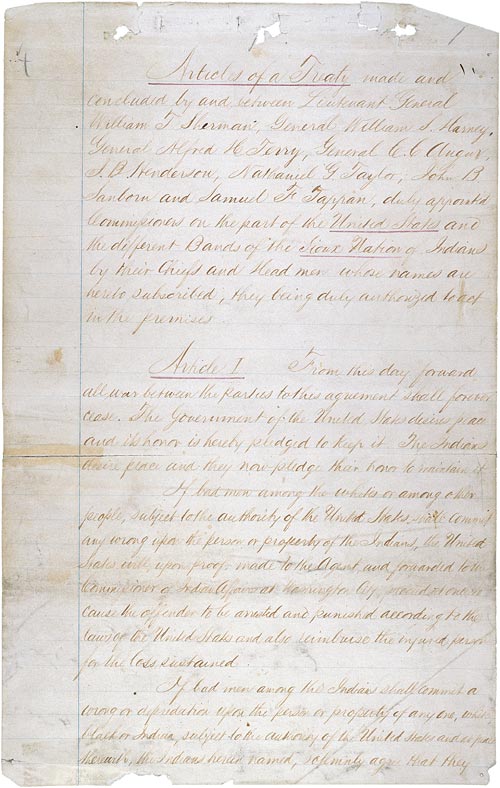 Document
Primary source
Fort Laramie Treaty
29 April 1868
 Document
Primary source
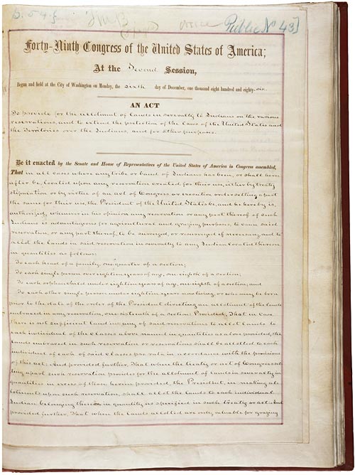
Dawes Act
Henry Dawes · 8 February 1887
 Photograph
Primary source
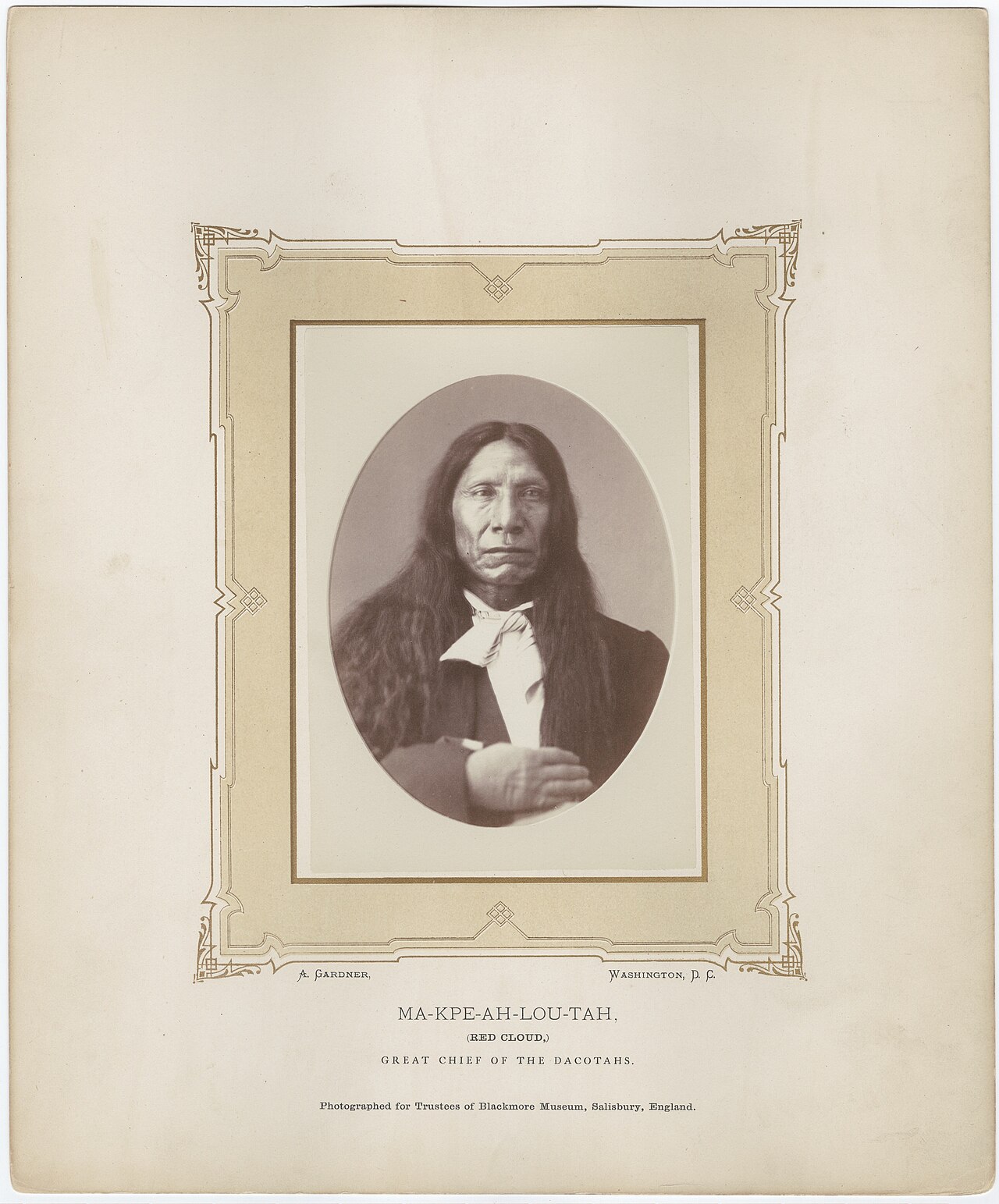
Red Cloud by Alexander Gardner, 1872
Alexander Gardner · 1872
 Photograph
Primary source
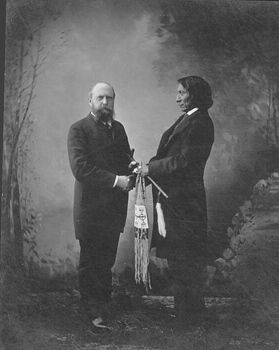
Othniel C. Marsh and Red Cloud in New Haven, Connecticut
Unknown
Free account
Read every Red Cloud source
Sign up free →
Ready when you are
Start chatting with Red Cloud now.
20 messages free · No credit card · Available in 50+ languages.