


Primary sourceDocument1787
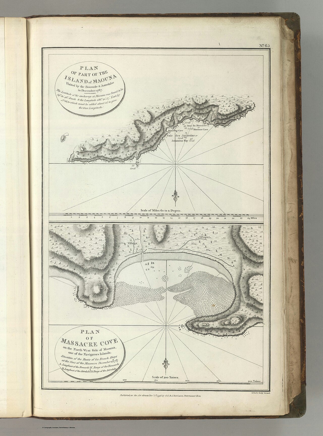
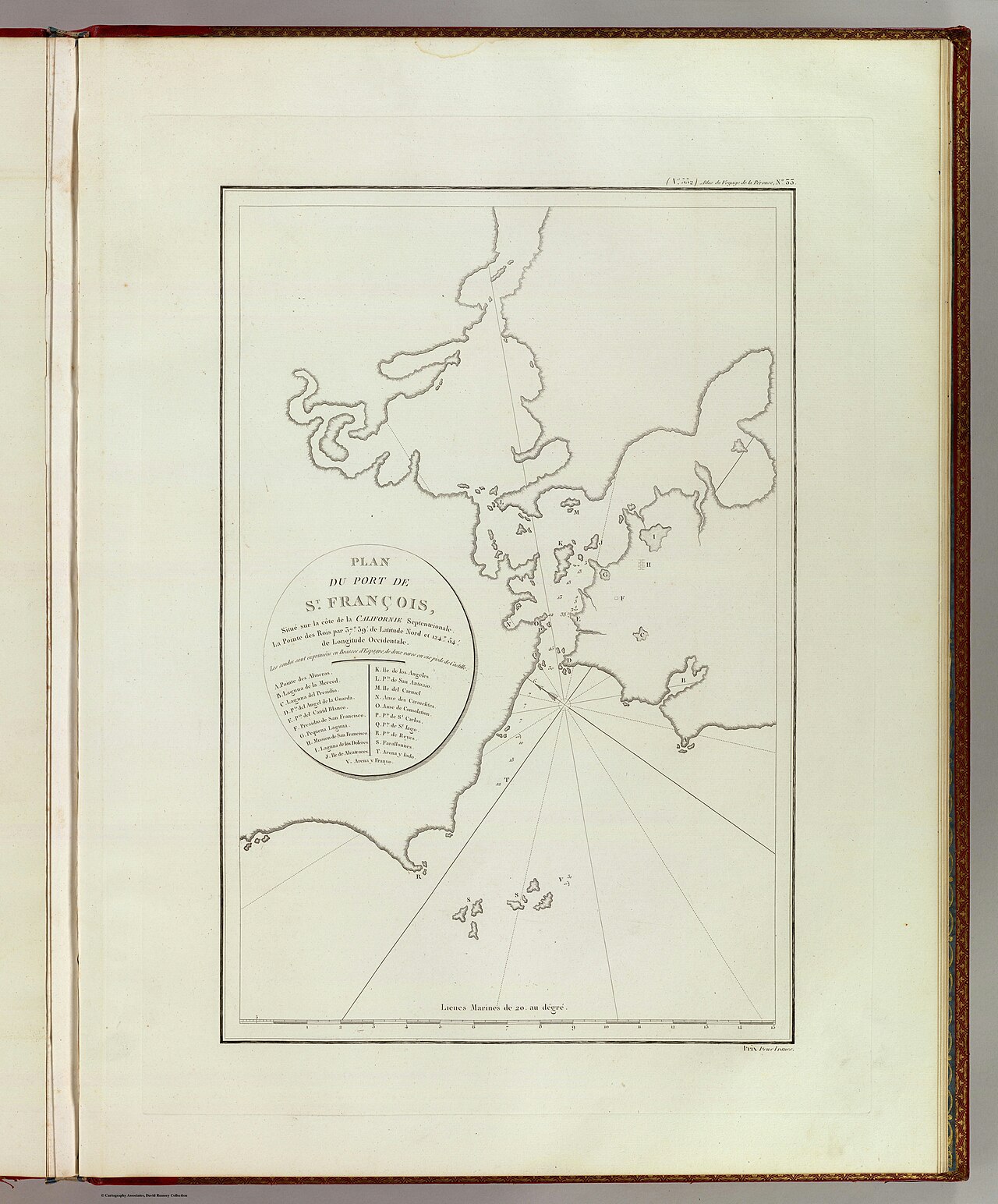
Plan of Maouna, Samoa, Visited December 1787
La Pérouse expedition; engraved by Neele · 1787
A chart from La Pérouse's expedition showing the site in Samoa where a violent clash took place with his crew in December 1787.
A chart from La Pérouse's expedition recording the site of a deadly 1787 clash involving his crew.
About this source
What it is
This engraved chart shows part of the island of Maouna in Samoa, including a cove where boats from La Pérouse's ships, the Boussole and the Astrolabe, were involved in a deadly clash with islanders on 11 December 1787. It was engraved by Neele for the published atlas of the voyage.
Why it matters
The chart documents a violent encounter during La Pérouse's voyage, showing how contact between European expeditions and Pacific island communities could turn deadly. It is a reminder that exploration voyages often involved conflict, misunderstanding, and loss of life on both sides.
Look closer
- What details does the chart give about where the clash took place?
- Whose perspective does a navigational chart like this represent, and whose does it leave out?
- Why might this event have been important enough to record on an official expedition chart?
This document is part of the curated material that grounds the AI version of Jean-François de Galaup, comte de Lapérouse on Humy.ai — when students ask about related events, the AI can quote it and cite it.
More Jean-François de Galaup, comte de Lapérouse sources
Browse all 95 →Primary source
Voyage de La Pérouse autour du monde
Louis Marie de Milet de Mureau · 1797
 Document
Primary source
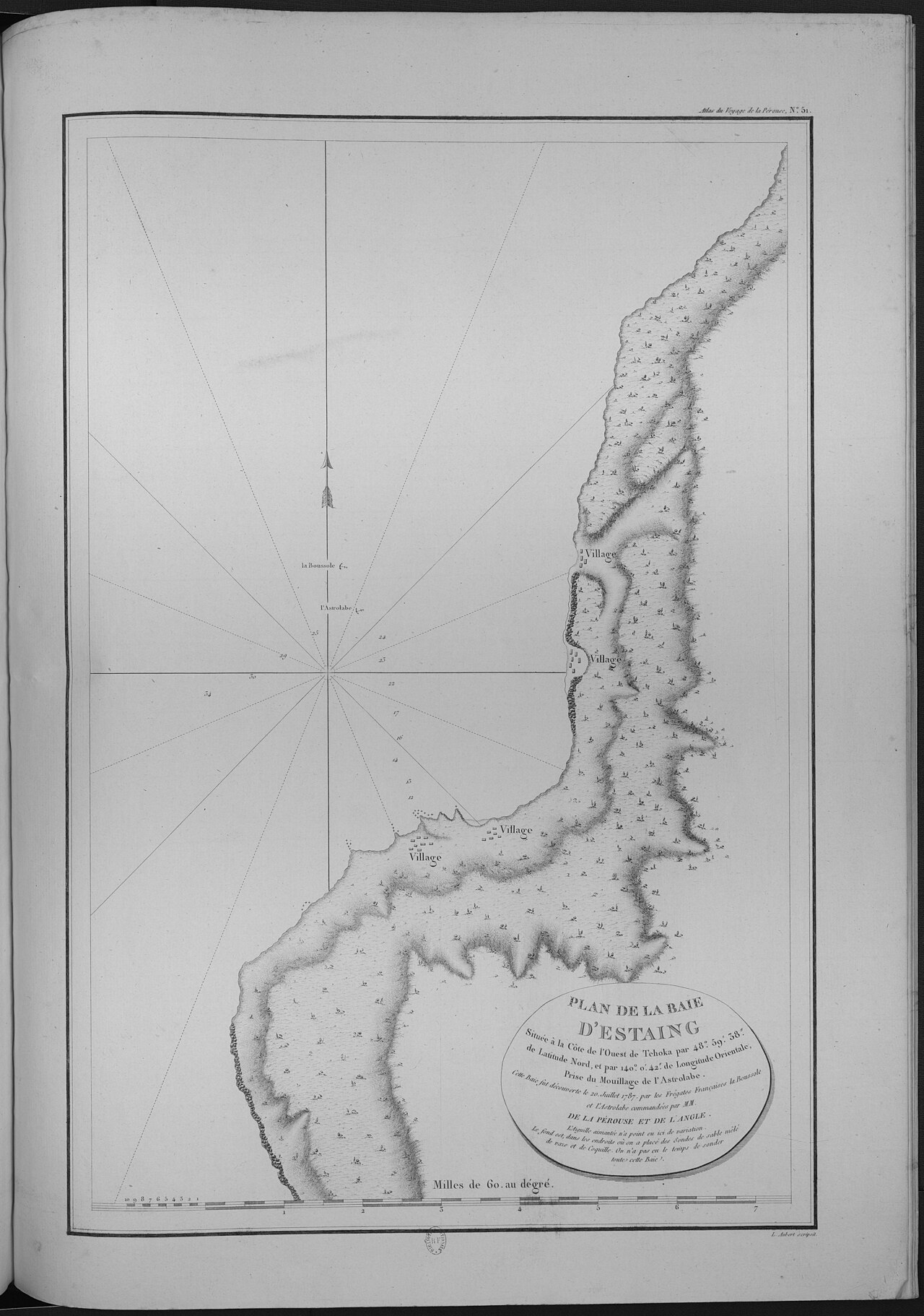
Atlas du voyage de La Pérouse
Jean-François de La Pérouse and expedition officers · 1797
 Letter
Primary source
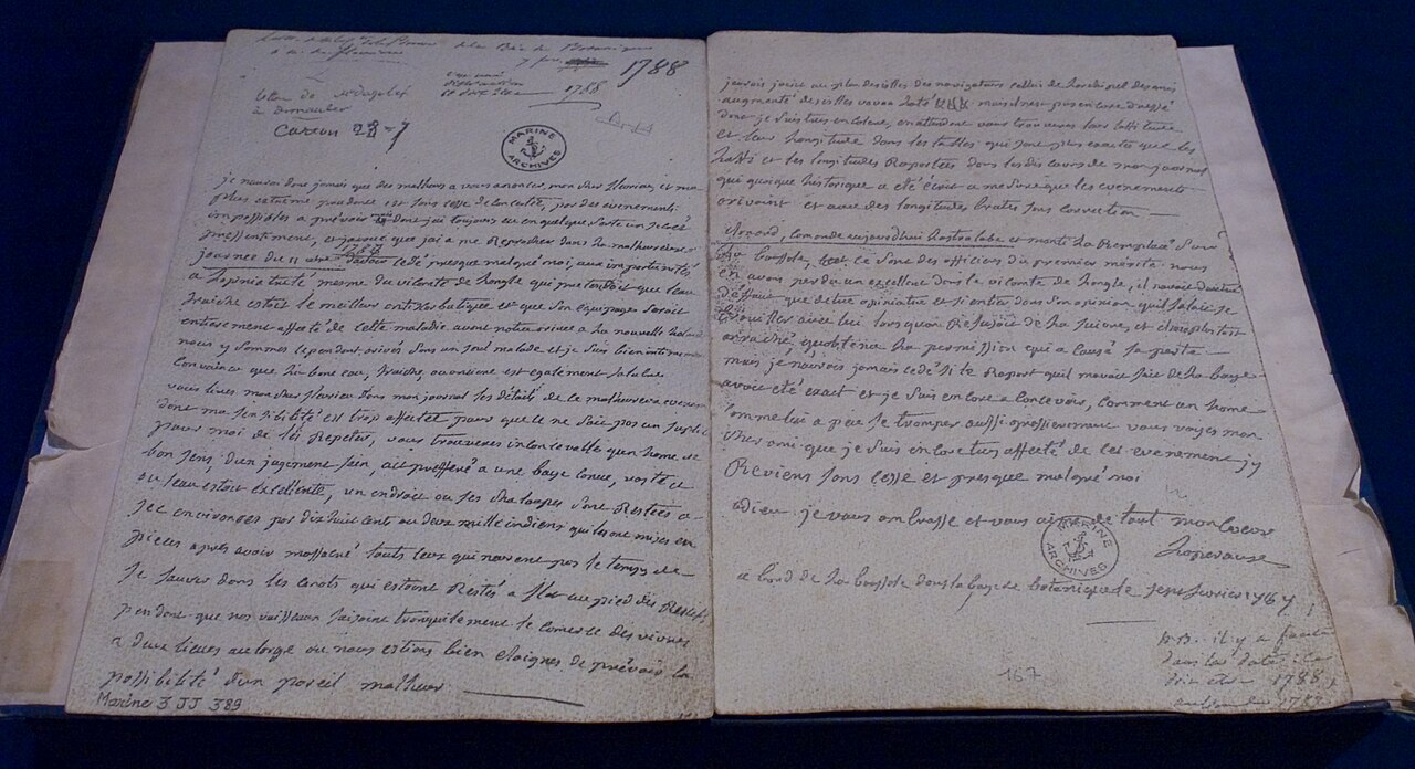
Last letter La Pérouse
Jean-François de La Pérouse · February 1788
 Painting
Primary source
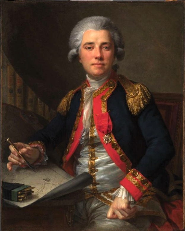
Portrait of Jean-François de Galaup, comte de La Pérouse
Geneviève Brossard de Beaulieu · 1778

Free account
Read every Jean-François de Galaup, comte de Lapérouse source
Sign up free →
Ready when you are
Start chatting with Jean-François de Galaup, comte de Lapérouse now.
20 messages free · No credit card · Available in 50+ languages.